Between the villages of Santa Valburga and Pracupola in the Val d’Ultimo valley there’s Lake Zoccolo, a popular excursion destination
Image gallery: Lake Zoccolo
-
-
Video : Val d‘Ultimo valley
-
D_RS171281_C-9013-ultner-hoefeweg-bei-kuppelwies-und-zoggler-stausee.JPG
-
D_RS171212_C-9189-ulten-zoggler-stausee.JPG
-
D_RS171258_C-9205-zoggler-stausee-ulten-kuppelwies-herbst.JPG
-
D_0013-3Almen-Zoggler-Stausee-Start-vom-Damm.JPG
-
D_20171101_141436.jpg
-
D_20191027_161119.jpg
-
D_3405-kuppelwies-ulten-winter-zoggler-stausee.JPG

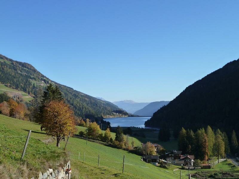
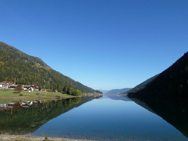
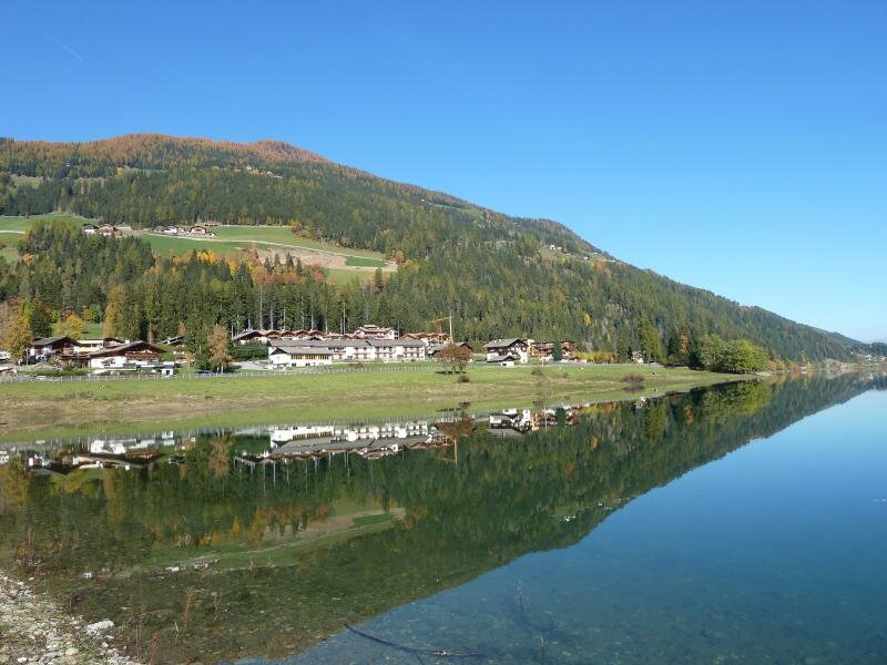
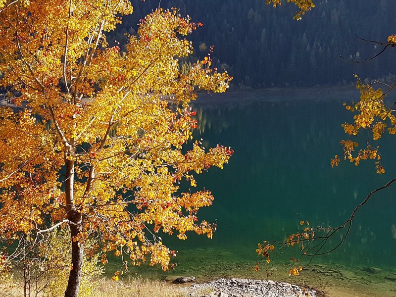
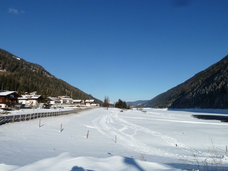
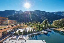
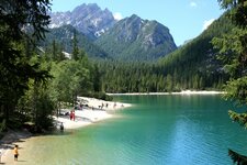
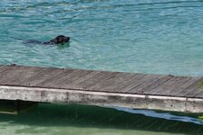
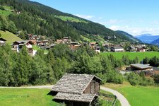
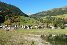
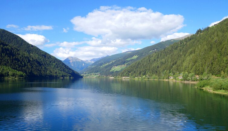
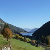
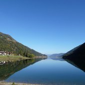
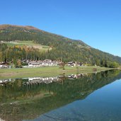
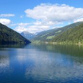
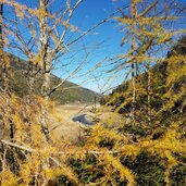
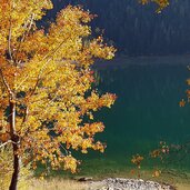
The largest of the six reservoirs in the Val d'Ultimo is Lake Zoccolo, or Zoggler Reservoir - "Zoggler-Stausee" in German, "Lago di Zoccolo" in Italian. It is about 3 km long and stretches from the walkable dam wall near Santa Valburga until the paragliding landing place near Pracupola. At this spot, every year in autumn the famous Pracupola Market and the traditional Sheep Market take place. The latter represents also the opening of the Ultimo Lamb Weeks. The hydro of the lake was built between 1957 and 1963 - two of the most beautiful farms in the area fell victim to the floods. Today the reservoir is popular for swimming on hot summer days although its water stays cool.
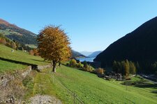
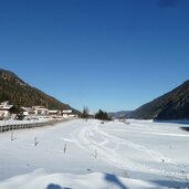
At the impressive 516.35 m long dam wall, numerous hiking paths start, like the Ultimo Valley Trail, the historic "Karrenweg" trail or the hike to the Holzschlag Refuge (no rest point) and the managed Spitzner Mountain Hut at 1,833 m a.s.l. The path along the lake, however, proceeds along a forest road from the dam wall until Pracupola (about 1 hour). Here also the Kneipp Oasis Path can be found, a course with a pond, Kneipp basin and oases for relaxation. Furthermore, in 2019-2020 a hiking and cycling trail was realized round the whole lake, including also the lakeshore near the mainroad which until now had not been accessible. In winter, a beautiful panoramic cross country ski track starts at the lake and proceeds until Santa Geltrude in the rear Val d'Ultimo valley.
Altitude: 1,141 m a.s.l.
Surface: 143 hectares
Depth: max. 63 m
Category: reservoir