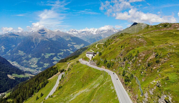
Quite a challenge for cyclists is the 2,100 m high Giovo Pass: The easiest way to manage is to start at Vipiteno
Image gallery: Bike tour to Merano via the Passo Giovo
-
-
-
-
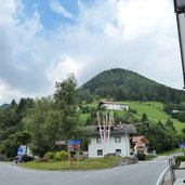
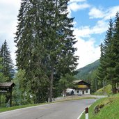
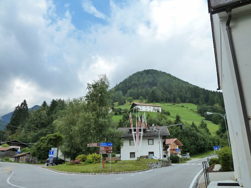
D-5105-abzweigung-in-gasteig-jaufental-jaufenpass.jpg
-
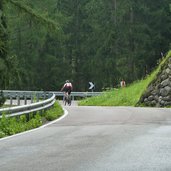
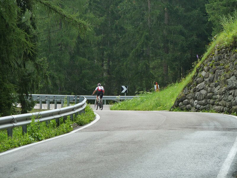
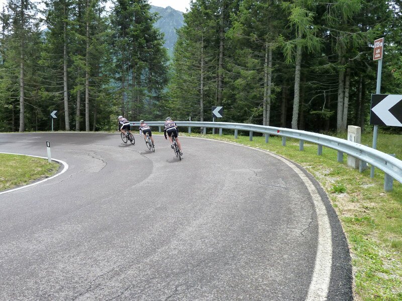
D-5127-jaufenpass-strasse-bei-kalch-ratschings-kehren-radfahrer.jpg
-
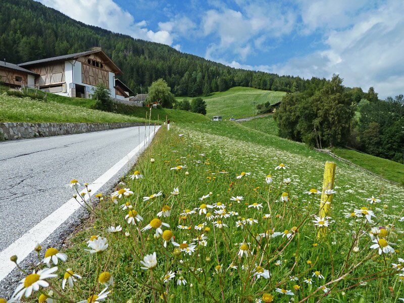
D-5141-jaufenpass-strasse-bei-kalch-ratschings.jpg
-
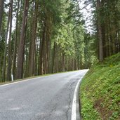
D-5167-jaufenpass-strasse-bei-kalch-ratschings-wald.jpg
-
D-5195-jaufenpass-letzte-kehren-zur-passhoehe.jpg
-
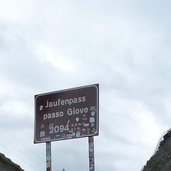
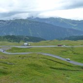
D-5200-jaufenpass-passhoehe.jpg
-
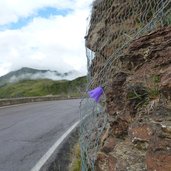
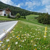
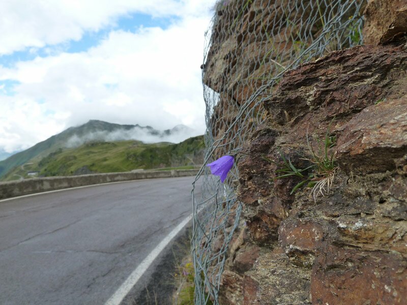
D-5213-jaufenpass-passeiertal-seite-glockenblume.jpg
-
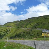
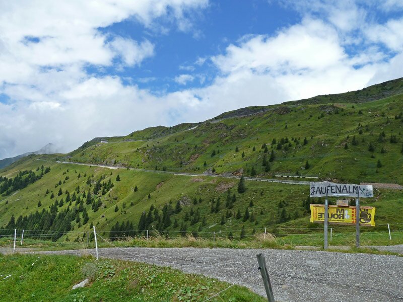
D-5224-jaufenpass-jaufenalm.jpg
-
D-5227-jaufenpass-strasse-bei-walten-kehre-radfahrer.jpg
-
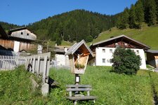
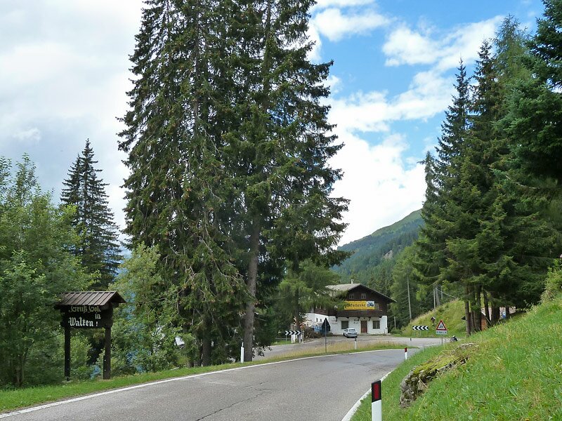
D-5230-st-leonhard-in-passeier-walten-ortseinfahrt.jpg
-
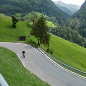
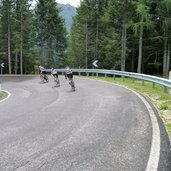
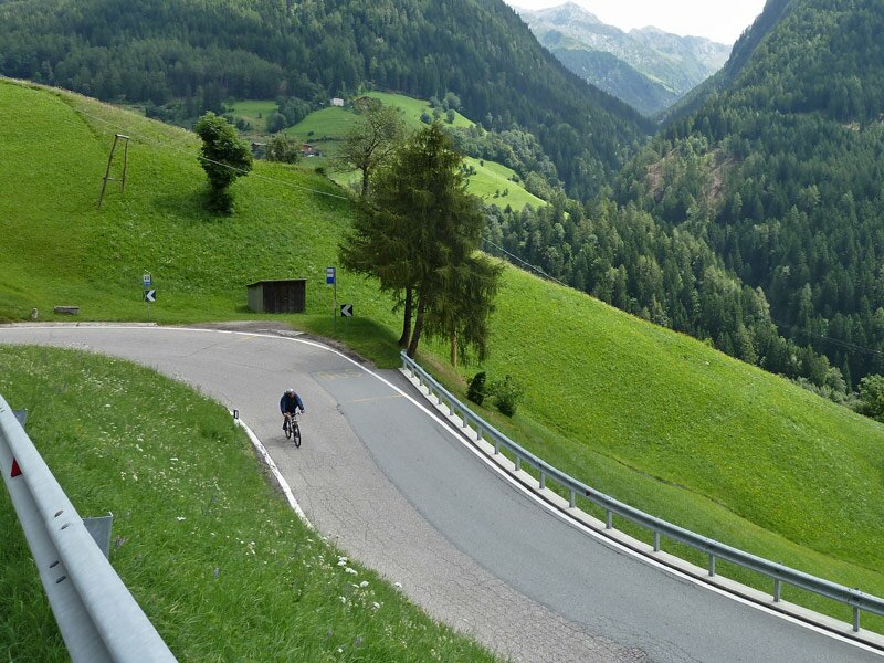
D-5267-jaufenpass-strasse-bei-st-leonhard-radfahrer.jpg
-
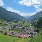
D-5283-jaufenpass-strasse-bei-st-leonhard-aussicht-passeiertal.jpg
-
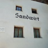
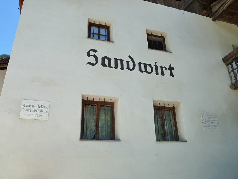
D-5300-st-leonhard-in-passeier-sandwirt.jpg
-
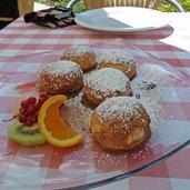
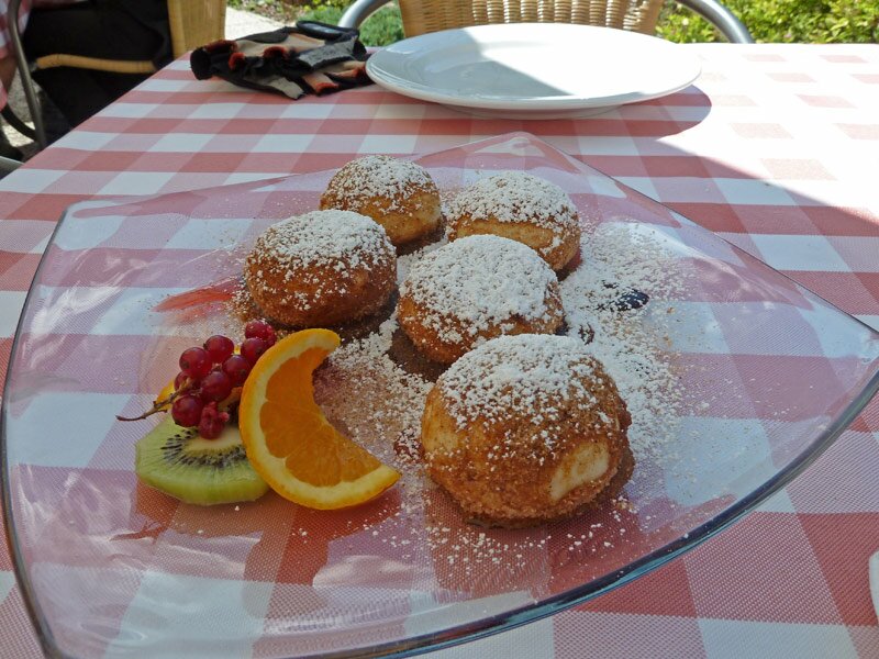
D-5299-zwetschgen-knoedel-marillenknoedel.jpg
-
D-5304-st-leonhard-in-passeier.jpg
-
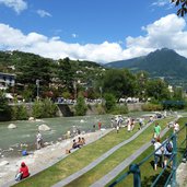
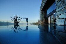
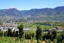
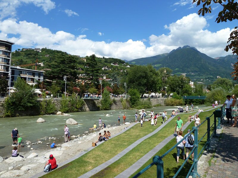
D-5322-meran-strand-an-der-passer.jpg
-
video : Discovering the Val Passiria
-
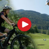
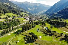
video : Golfing and biking in the Val Passiria
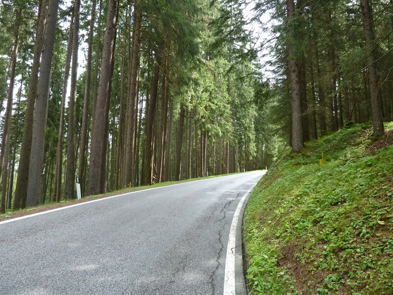
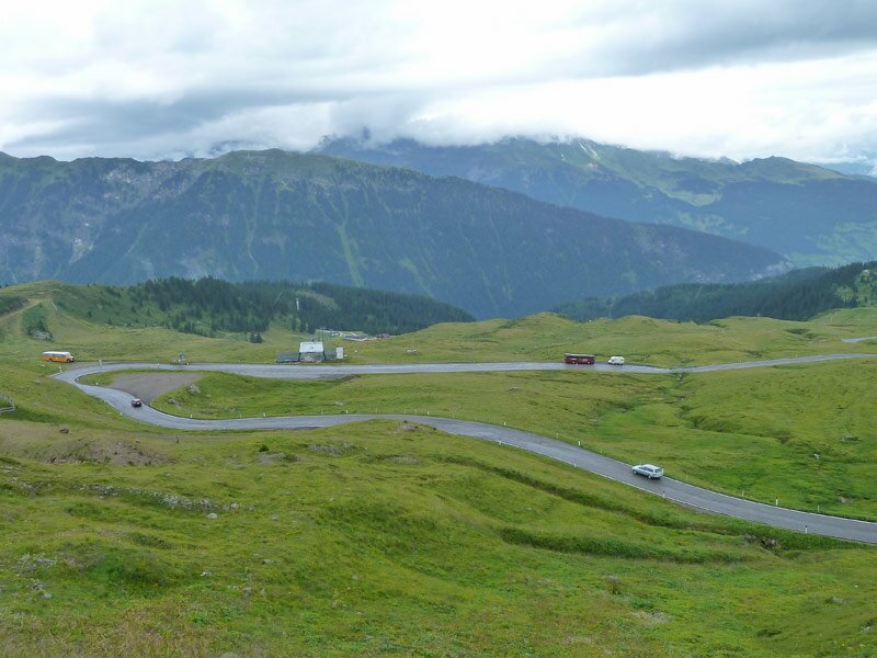
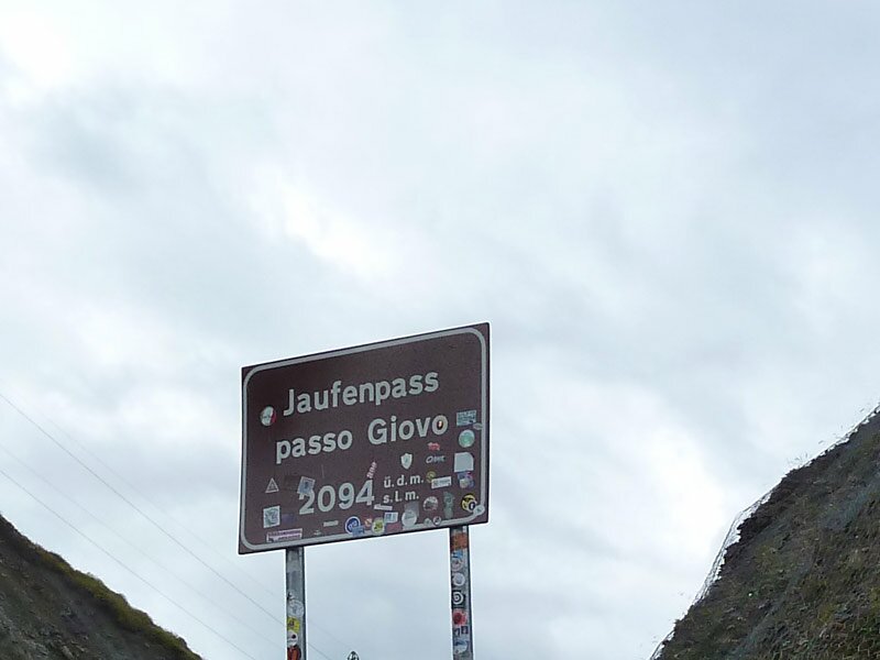


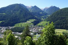
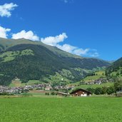
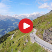
With foggy weather we start in Vipiteno and cycle into the Val Ridanna valley until Casateia where we branch off right to the Giovo Pass. Bend by bend we cycle uphill to Calice, the village above the Val Racines valley. We carry on uphill to the Passo Giovo Mountain Hut (approx. 2,000 m a.s.l.). As we reach the timberline we feel the first rain drops, maybe a thunderstorm is brewing up, so we take a break at the mountain hut. Then we start further uphill to the top of the pass, the last 100 m in altitude have to be managed - then the highest point of our tour is reached - 2,094 m a.s.l.
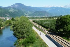
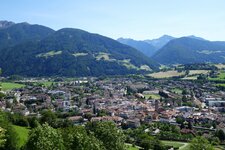
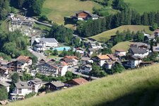
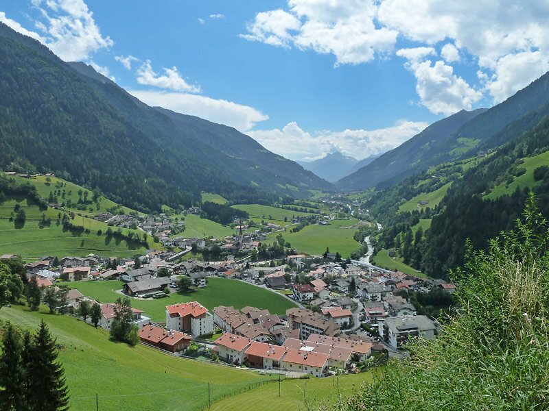
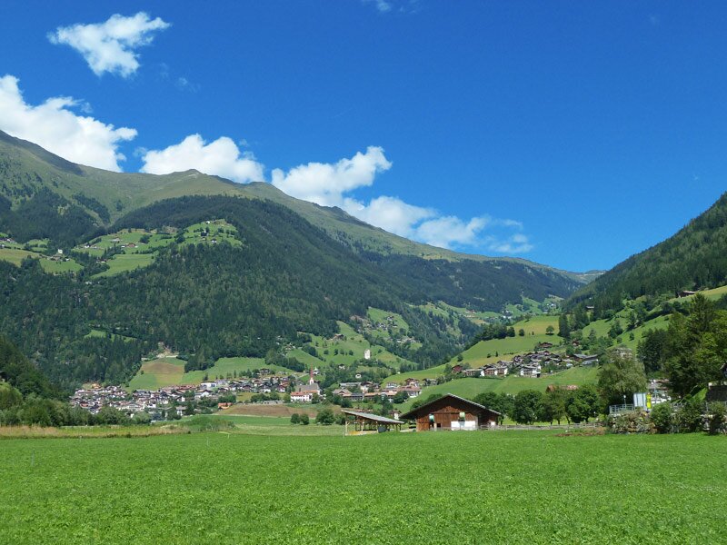
The sky brightens up slowly and we can enjoy a fantastic panoramic view on the Val Passiria valley. Racily we cycle down until the village of San Leonardo (700 m a.s.l.). Here we take the opportunity to have a coffee break at the Sandwirt guesthouse (next to the MuseumPasseier). Via the Val Passiria Cycle Path we proceed down to Merano and due to the fact, that we are not tired at all, we decide to carry on along the Valle dell'Adige Cycle Path until Bolzano.
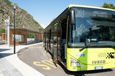
There we take the train back to our starting point in Vipiteno. Avoid this tour on hot summer days, the ascent is exposed to the sun - the same for thunderstorms (fog and danger of lightening)! Ascent a bit demanding, good condition/training recommended.
Author: AT
-
- Starting point:
- Vipiteno
-
- Time required:
- 03:45 h
-
- Track length:
- 58,8 km
-
- Altitude:
- from 304 m to 2.098 m
-
- Altitude difference:
- +1156 m | -1801 m
-
- Route:
- Vipiteno - Casateia - Passo Giovo - San Leonardo - Merano
-
- Destination:
- Merano (centre, railway station)
-
- Track surface:
- asphalt
-
- Recommended time of year:
- Jan Feb Mar Apr May Jun Jul Aug Sep Oct Nov Dec
-
- Download GPX track:
- Bike tour to Merano via the Passo Giovo
If you want to do this tour, we suggest you to check the weather and trail conditions in advance and on site before setting out.