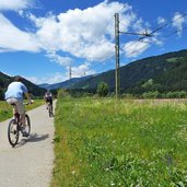
The Val Pusteria Cycle Track connects San Candido with the town of Brunico and stretches across the green Val Pusteria valley
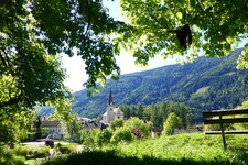
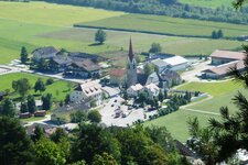
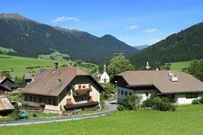
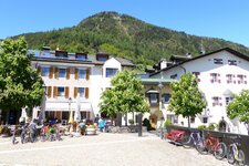
Image gallery: “Pusterbike” Cycle Path: San Candido - Brunico - Fortezza
-
-
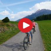
Video : Cycling experience in the Val Pusteria
-
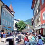
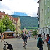
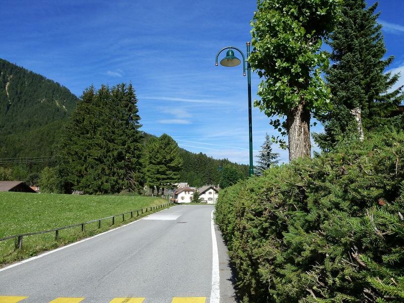
D01-6984-innichen-peter-paul-rainer-strasse.jpg
-
D03-1427-radroute-toblach-west.jpg
-
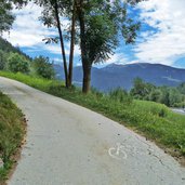
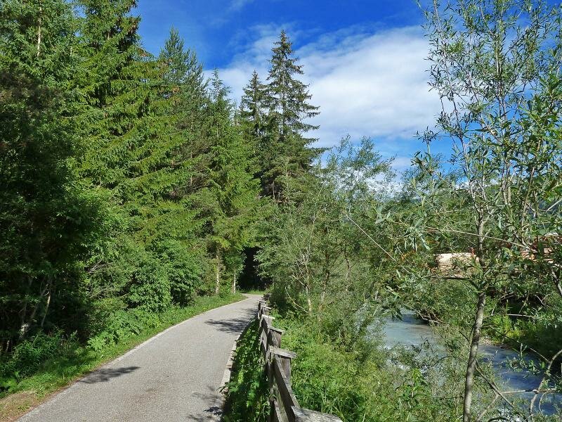
D05-1429-radweg-bei-toblach.jpg
-
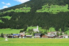
D07-1444-niederdorf.jpg
-
D09-1464-radweg-niederdorf-welsberg.jpg
-
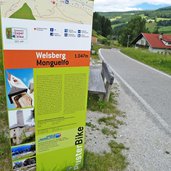
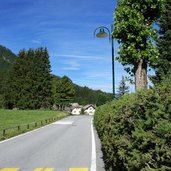
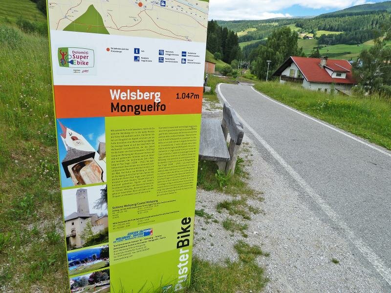
D11-1484-radweg-bei-welsberg-infotafel.jpg
-
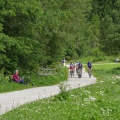
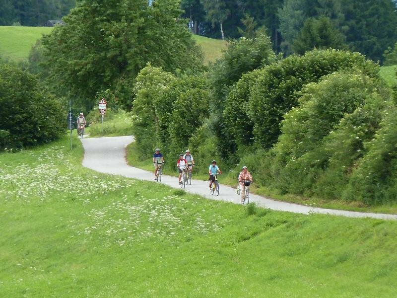
D13-1493-radfahrer-bei-welsberg-radweg-pustertal.jpg
-
D15-1502-radweg-westlich-von-welsberg-eingang-pragser-tal.jpg
-
D17-1512-radweg-bei-olanger-see.jpg
-
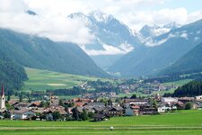
D19-1539-radweg-bei-oberolang-friedhof.jpg
-
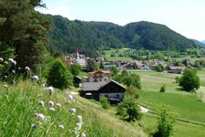
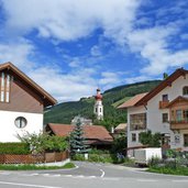
D20-2758-niederolang.jpg
-

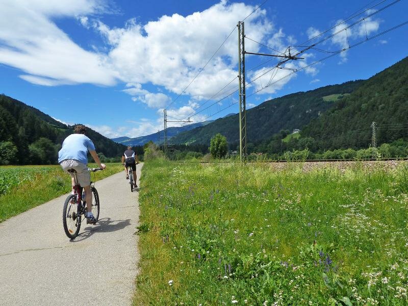
D21-1562-radweg-olang-percha-pustertal-radfahrer.jpg
-
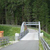
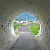
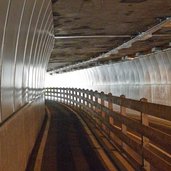
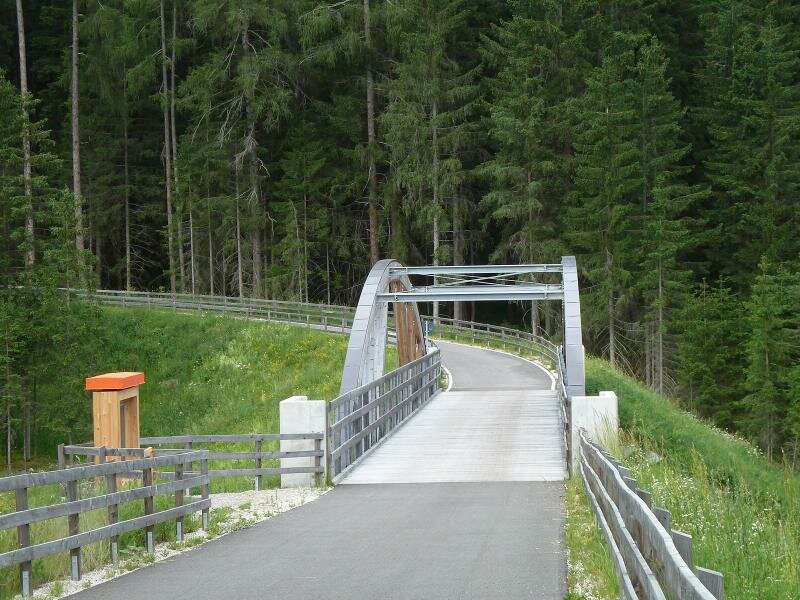
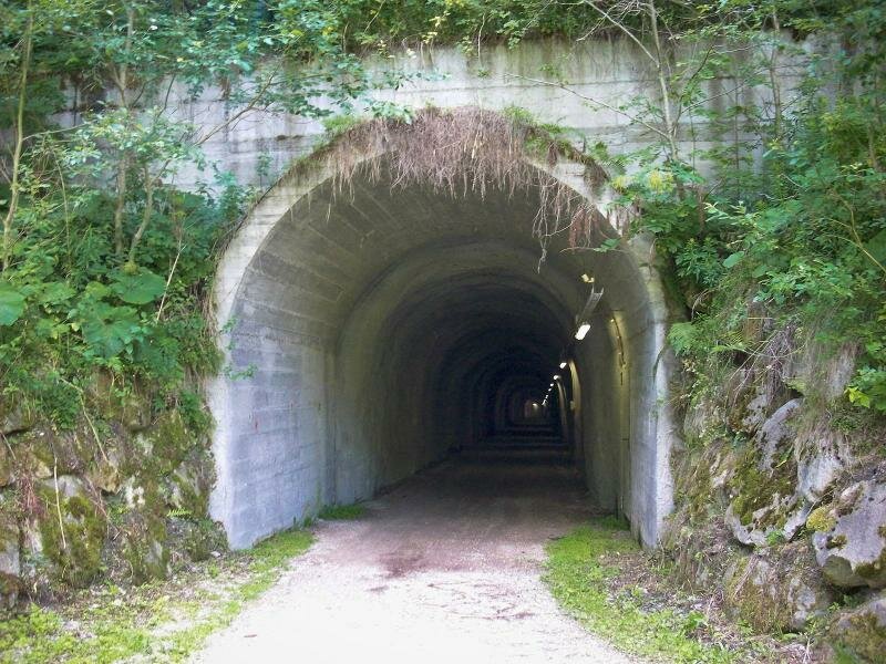
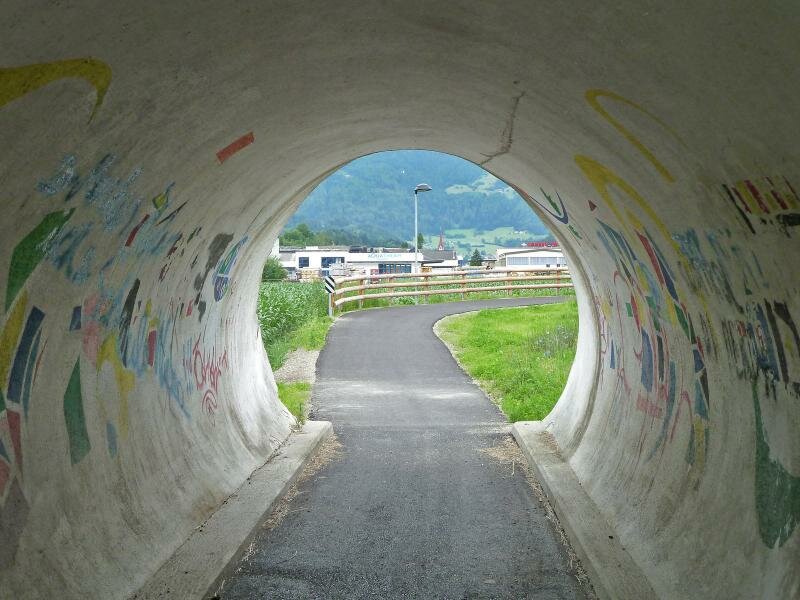
D22-3053-tunnel-pustertal-radweg-bei-bruneck.jpg
-
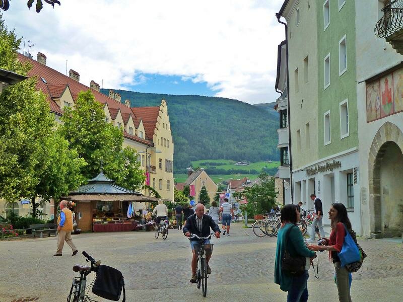
D23-1598-bruneck-zentrum-radfahrer.jpg
-
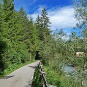
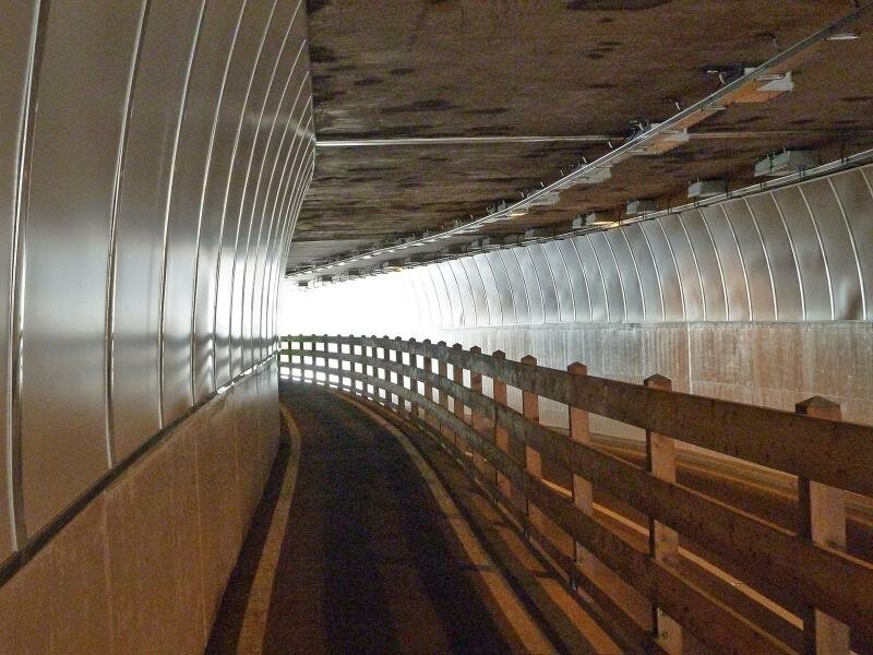
D25-1601-radweg-pustertal-bei-bruneck-stegen-tunnel.jpg
-
D27-1616-radweg-pustertal-pflaurenz-ehrenburg.jpg
-
D29-1669-radroute-bei-kiens.jpg
-
D31-1709-radfahrer-am-radweg-westlich-von-kiens-pustertal.jpg
-
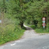
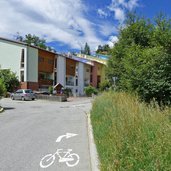
D33-1808-radweg-bei-muehlbach-unterfuehrung.jpg
-
video : With train and bike through the Val Pusteria


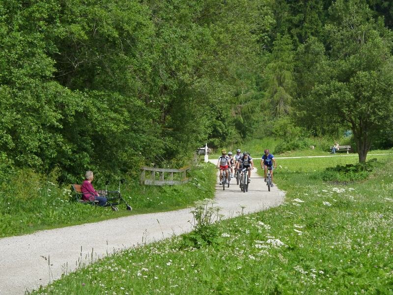
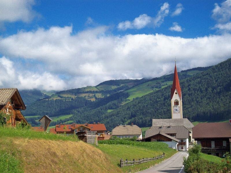


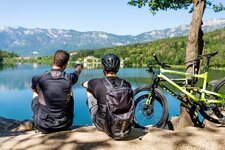
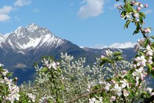
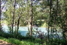
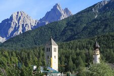
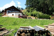
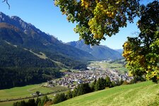
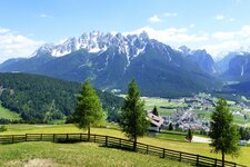
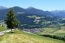
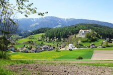
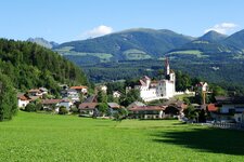
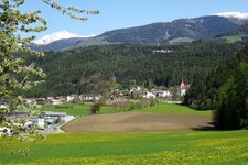
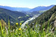
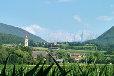
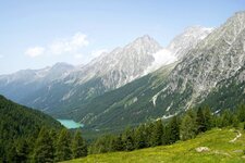
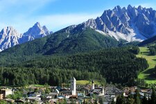
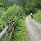
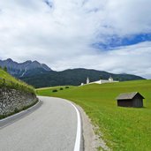
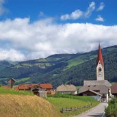
Those who love cycling might be familiar with San Candido (Innichen): From this place the famous cycle track to Lienz in East Tyrol starts (A), along the Drava river. However, also towards west, there is a beautiful cycle track, called "Pusterbike“, rising to Dobbiaco (1,240 m a.s.l. - station/Grand Hotel) and proceeds towards Villabassa, Monguelfo, Valdaora and Perca to Brunico.
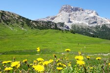
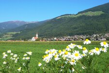
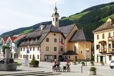
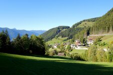
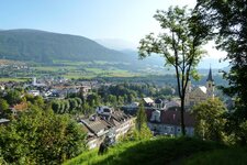
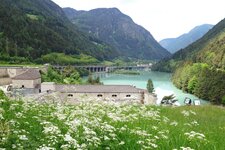
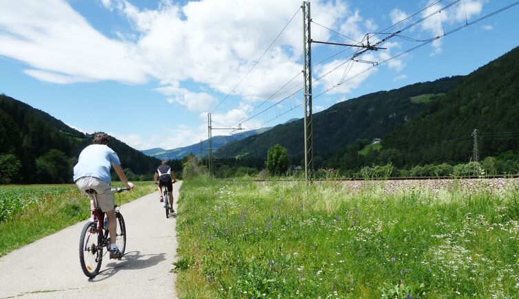
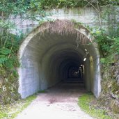
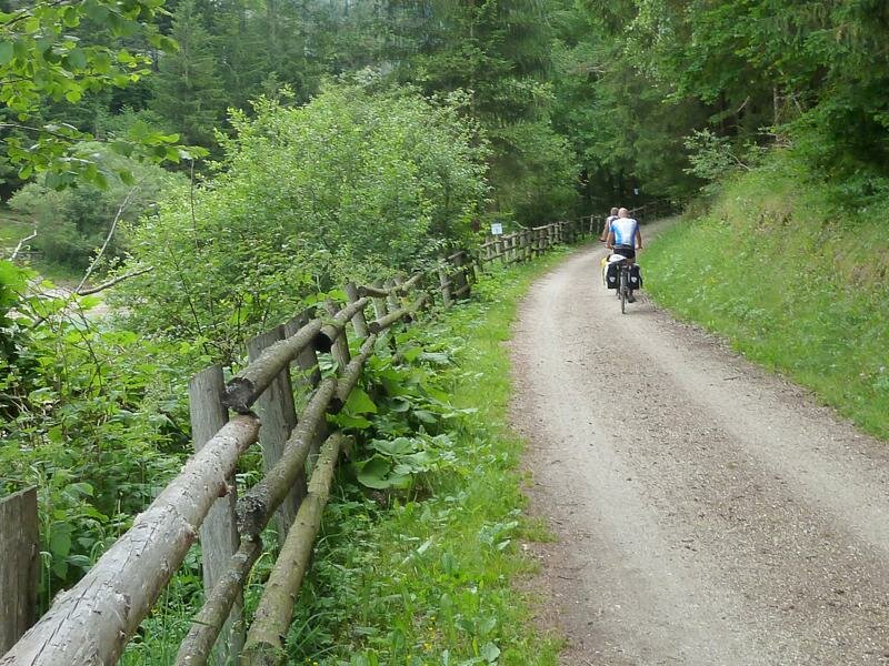
This section (San Candido-Brunico) is 35 km long and is a pleasant track stretching from 1,240 to 840 m a.s.l. It stretches across fields, meadows and forests of the Upper Val Pusteria, past Lake Valdaora and the wild-romantic Rienza Canyon close to Brunico, also a tunnel is traversed by the cycle track. Leaving behind the town of Brunico (Bruneck), the cycle track stretches via San Lorenzo Sebato, Casteldarne/Chienes and Vandoies to Rio di Pusteria, always along the Rienza.
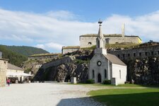
In the west of Rio di Pusteria (Mühlbach), the river and the cycle path split: Near Sciaves the village road branches off to Aica and Fortezza (Franzensfeste), where you can continue your tour on the Isarco cycling path or the Upper Valle Isarco bike lane.
- Train & bicycle: Regional trains with limited bicycle transport run parallel (stops in San Candido, Dobbiaco, Villabassa, Valdaora, Perca, Brunico, Casteldarne, Vandoies, Rio di Pusteria, Fortezza).
Connection to further cycling tracks in the South Tyrolean cycling path network:
- At San Candido: Drava Cycle Path to Lienz/Marburg
- At Dobbiaco: MTB route to Cortina d'Ampezzo
- At Valdaora: Valle d'Anterselva cycle track to Anterselva di Sotto
- At Brunico: Valle Aurina Cycle Path to Campo Tures
- At Fortezza: Valle Isarco Cycle Path to Bressanone/Bolzano
- At Fortezza: Upper Valle Isarco Cycle Path to Passo del Brennero
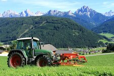
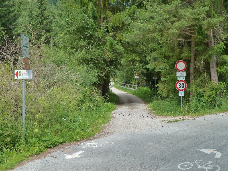
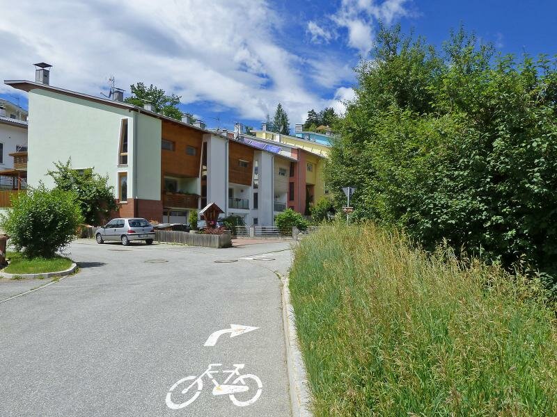
The following cycle track is called cycle route, but is only in part a bike lane only. It also includes lightly trafficked roads on which cars and tractors run. Please cycle with caution!
-
- Starting point:
- San Candido (1,175 m a.s.l.)
-
- Time required:
- 04:40 h
-
- Track length:
- 69,8 km
-
- Altitude:
- from 712 m to 1.212 m
-
- Altitude difference:
- +238 m | -669 m
-
- Signposts:
- Radweg Pustertal, Pusterbike (Val Pusteria cycle track)
-
- Destination:
- Fortezza (748 m a.s.l.)
-
- Track surface:
- mainly asphalted roads, sections with loose chippings, galleries (illuminated, no motorized traffic)
-
- Recommended time of year:
- Jan Feb Mar Apr May Jun Jul Aug Sep Oct Nov Dec
-
- Download GPX track:
- “Pusterbike” Cycle Path: San Candido - Brunico - Fortezza