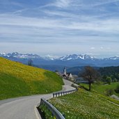
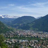
Climax of this easy to moderate MTB round trip is the Meltina Ridge (Möltner Joch) at 1,800 m a.s.l., in the Sarentino Alps
Image gallery: MTB tour to the Möltner Kaser hut
-
-
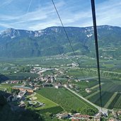
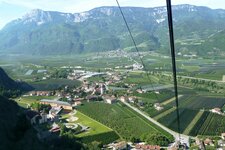
D-7349-voeran-moelten-seilbahn-aussicht-etschtal.jpg
-
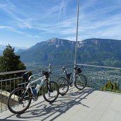
D-7367-voeran-moelten-seilbahn-bergstation-mountain-bikes.jpg
-
D-7379-moelten-dorf.jpg
-
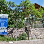
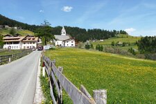
D-7382-abzweigung-in-moelten-wegweiser-wanderwege.jpg
-
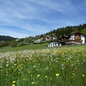
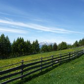
D-7387-hoefe-bei-moelten-dorf-wiese-mit-loewenzahn.jpg
-
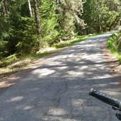
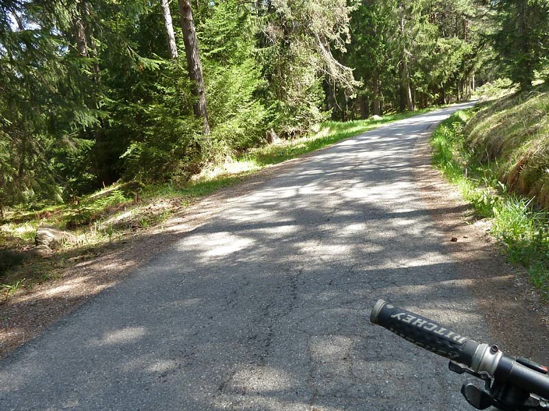
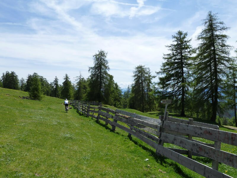
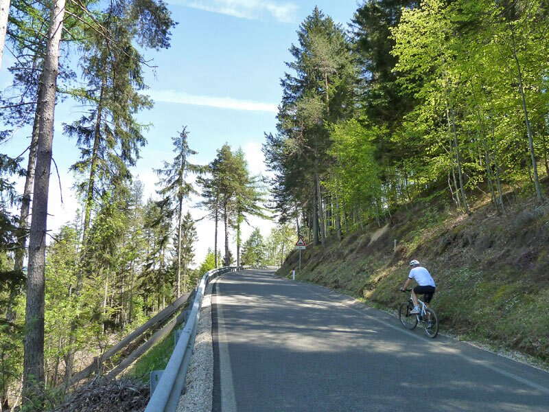
D-7408-asphaltweg-richtung-moeltner-kaser.jpg
-
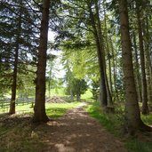
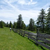
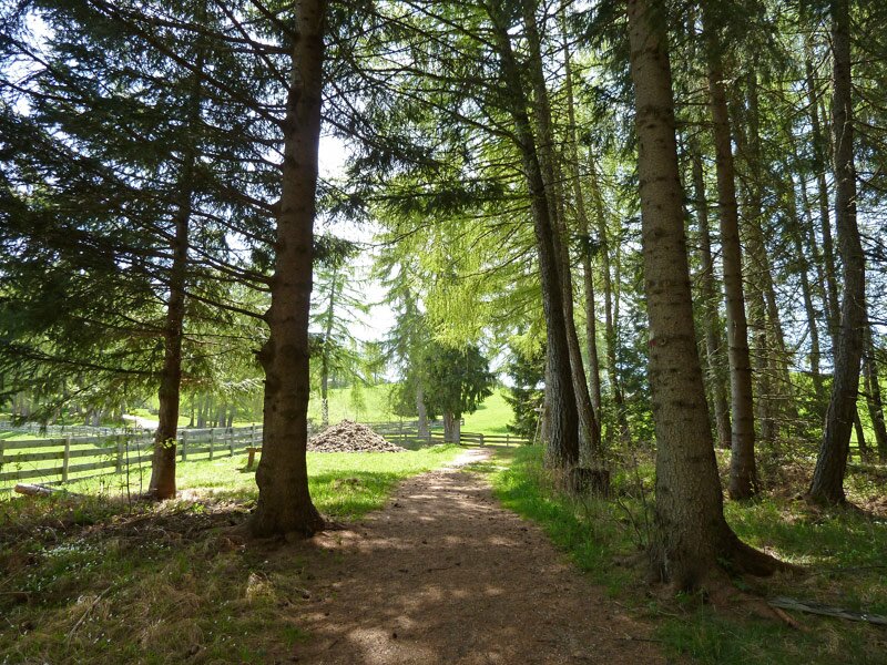
D-7424-waldweg-k-weg-zum-moeltner-kaser.jpg
-
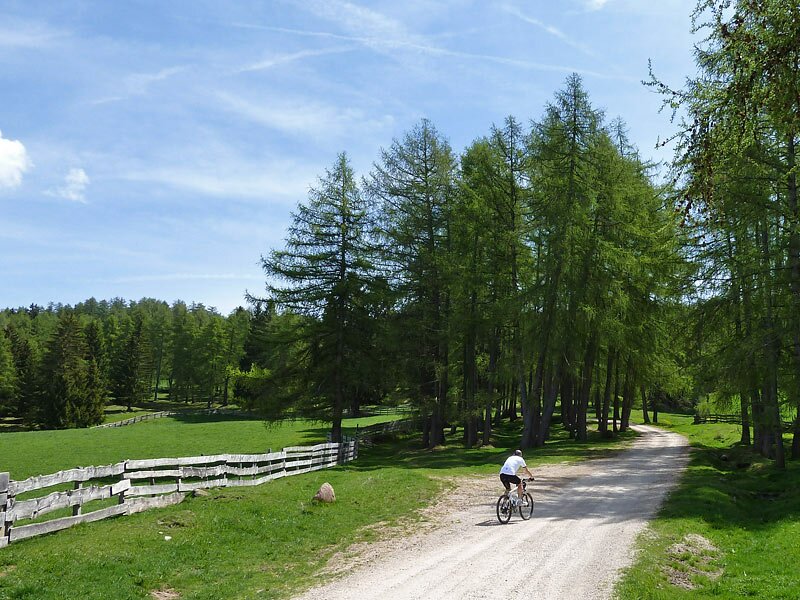
D-7426-mtb-zum-moeltner-kaser.jpg
-
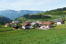
D-7434-sattlerhuette-moelten.jpg
-
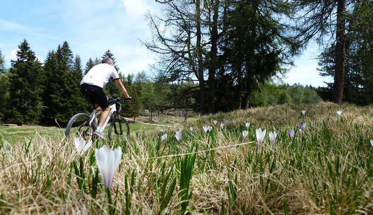
D-7457-krokus-bluete-moeltner-joch.jpg
-
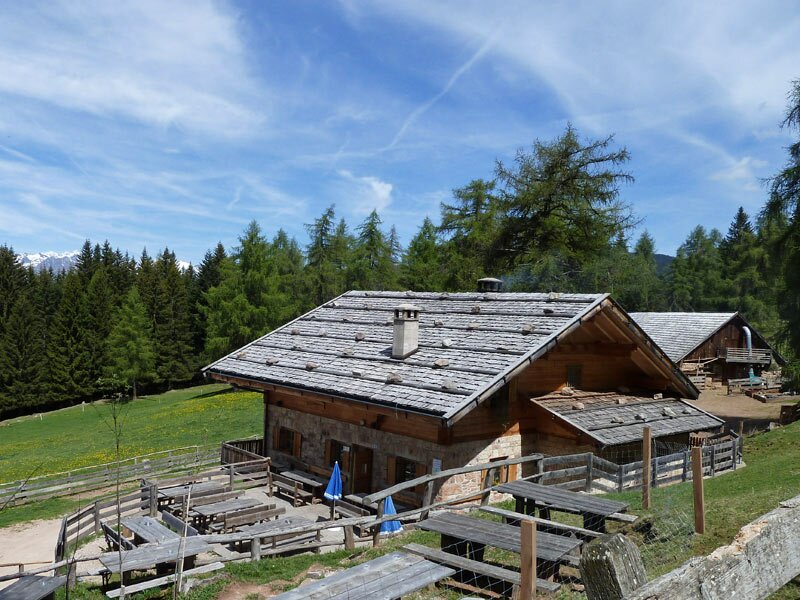
D-7477-moeltner-kaser-huette-alm-wanderer.jpg
-
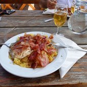
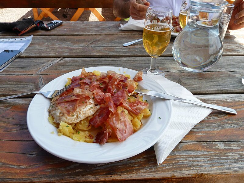
D-7488-moeltner-kaser-huette-alm-mittagessen.jpg
-
D-7514-weg-moeltner-kaser-nach-scheermoos-blumenwiesen.jpg
-
D-7519-weg-moeltner-kaser-nach-scheermoos.jpg
-
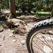
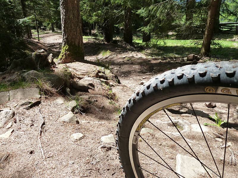
D-7521-weg-moeltner-kaser-nach-scheermoos-mtb-schwere-abfahrt.jpg
-
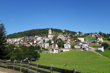
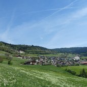
D-7543-jenesien-ortschaft-flaas-valas-di-s-genesio.jpg
-
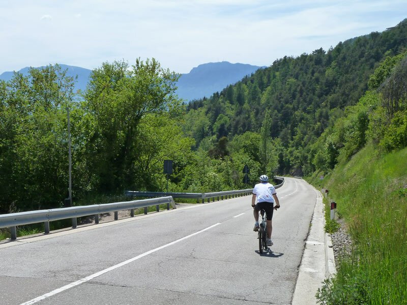
D-7578-strasse-von-flaas-nach-jenesien-fahrrad.jpg
-
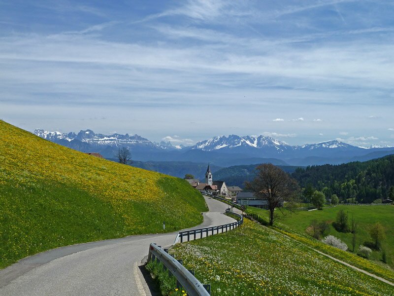
D-7583-jenesien-dorf-und-dolomiten.jpg
-
D-7590-jenesiener-strasse-fahrrad-nach-bozen.jpg
-
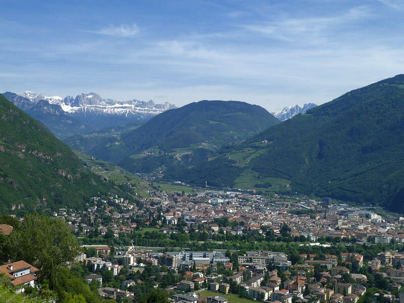
D-7600-blick-auf-bozen-zentrum-von-jenesiner-strasse.jpg
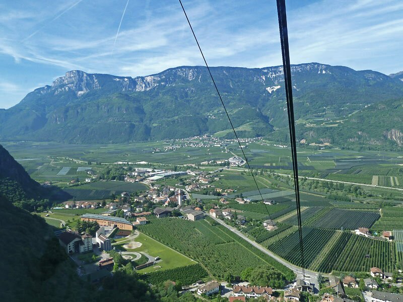
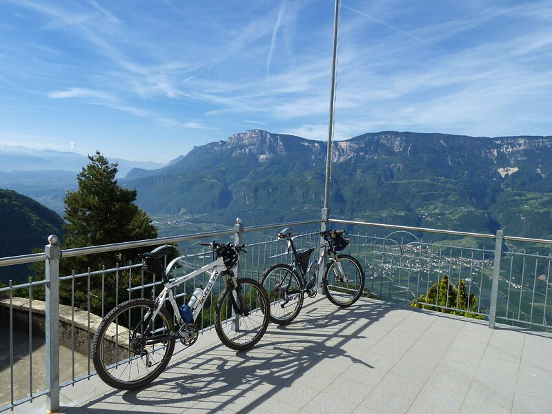
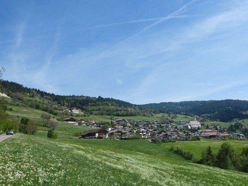

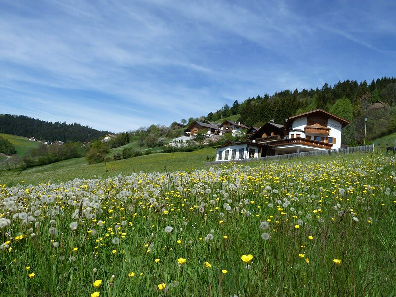
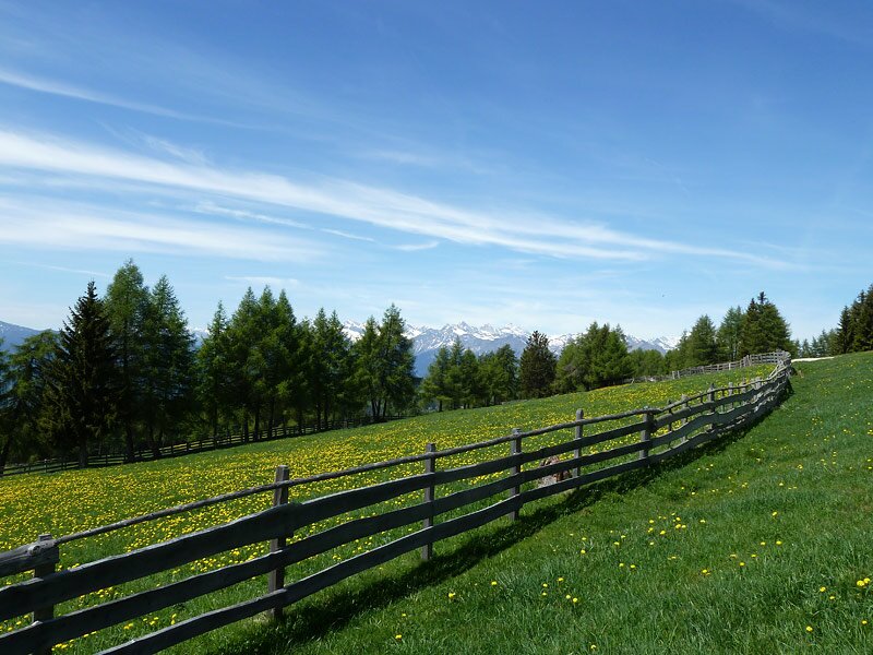
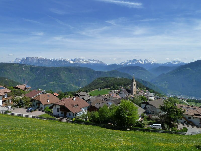
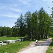
Vilpiano, our starting point, is situated halfway between Bolzano and Merano at 260 m a.s.l. The cable car takes us up to Salonetto near Meltina (1,000 m a.s.l.). Here on the sunny Salto mountain our tour starts. We cycle towards Meltina village and take the direction towards Schermoos/Langfenn at the junction. After the first bend we turn off left (marker 4-A).
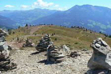
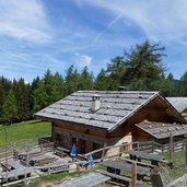
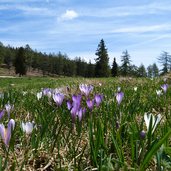
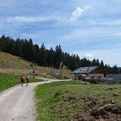
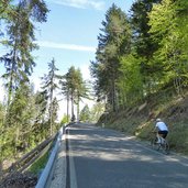
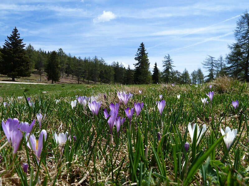
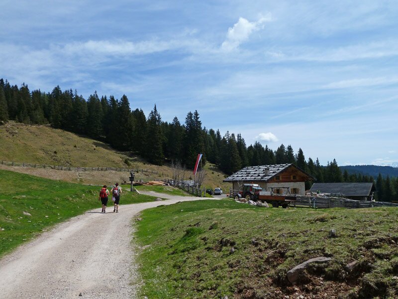
We stay on the asphalted road which winds up slowly, first across meadows, then through the shady forest. The marker now is "K" (Möltner Kaser). After a while the asphalt turns into gravel. Past the Sattler Mountain Hut we reach the meadows on the Meltina ridge, which are covered with blooming crocuses now, at the beginning of May. We are just below the famous "Stone Men". From here the Möltner Kaser hut is not far any more. Fantastic, because now we are hungry.
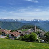
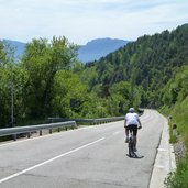
After our deserved lunch break we start the descent and turn off left soon (path to Schermoos/Langfenn) - a short steep section follows and the most technical demanding part follows. The trail proceeds along the fence across the meadows, afterwards it becomes a steep and stony path through the dense forest. Finally the path ends in the asphalt road easterly of Schermoos. We turn left and cycle via Valas and San Genesio village down to Bolzano where the cycle path leads us back to Vilpiano, our starting point.
Author: AT
-
- Starting point:
- cable car Vilpiano – Meltina, mountain station
-
- Time required:
- 05:20 h
-
- Track length:
- 50,4 km
-
- Altitude:
- from 237 m to 1.788 m
-
- Altitude difference:
- +1077 m | -1830 m
-
- Route:
- Meltina - Möltner Kaser / Malga Meltina - Schermoos - Flaas/Valas - San Genesio - Bolzano - Vilpiano
-
- Resting points:
- Möltner Kaser / Malga Meltina, Tomanegger
-
- Track surface:
- Asphalt road 80%, 17% gravel road, 3% single trail
-
- Recommended time of year:
- Jan Feb Mar Apr May Jun Jul Aug Sep Oct Nov Dec
-
- Download GPX track:
- MTB tour to the Möltner Kaser hut
If you want to do this tour, we suggest you to check the weather and trail conditions in advance and on site before setting out.