The Laives High Route is a varied highlight for those who love challenging walks and is highly recommended in spring and autumn
Image gallery: Hike on the Alta Via di Laives
-
-
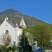
D-0311-ausgangspunkt-kirchplatz-leifers.jpg
-
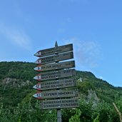
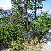
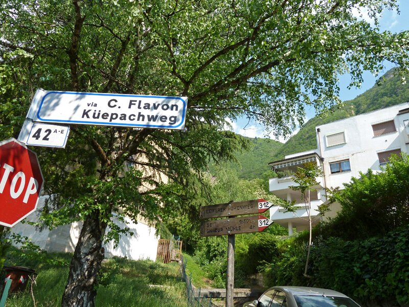
D-0410-wegweiser-leifers.jpg
-
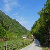
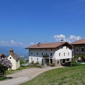
D-0404-leifers-brantental-thaler-hof.jpg
-
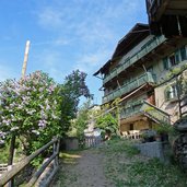
D-0412-leifers-schwabhof-leiferer-hoehenweg.jpg
-
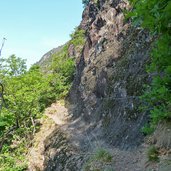
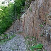
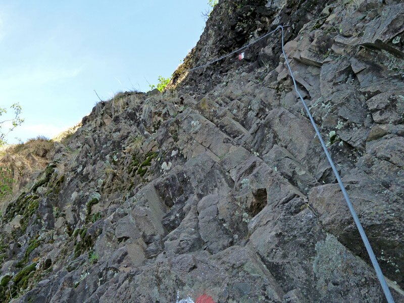
D-0439-leiferer-hoehenweg-ober-brantental-felsiger-abschnitt-gesichert.jpg
-
D-0447-leiferer-hoehenweg-ober-brantental-felsiger-abschnitt-gesichert.jpg
-
D-0450-leiferer-hoehenweg-ober-brantental-felsiger-abschnitt-gesichert.jpg
-
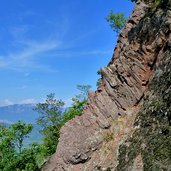
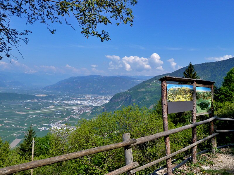
D-0486-leiferer-hoehenweg-breitenberg-blick-richtung-bozen.jpg
-
D-0504-leiferer-hoehenweg-breitenberg.jpg
-
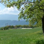
D-0495-leiferer-hoehenweg-breitenberg-sicht-auf-leifers-unterland-ueberetsch.jpg
-
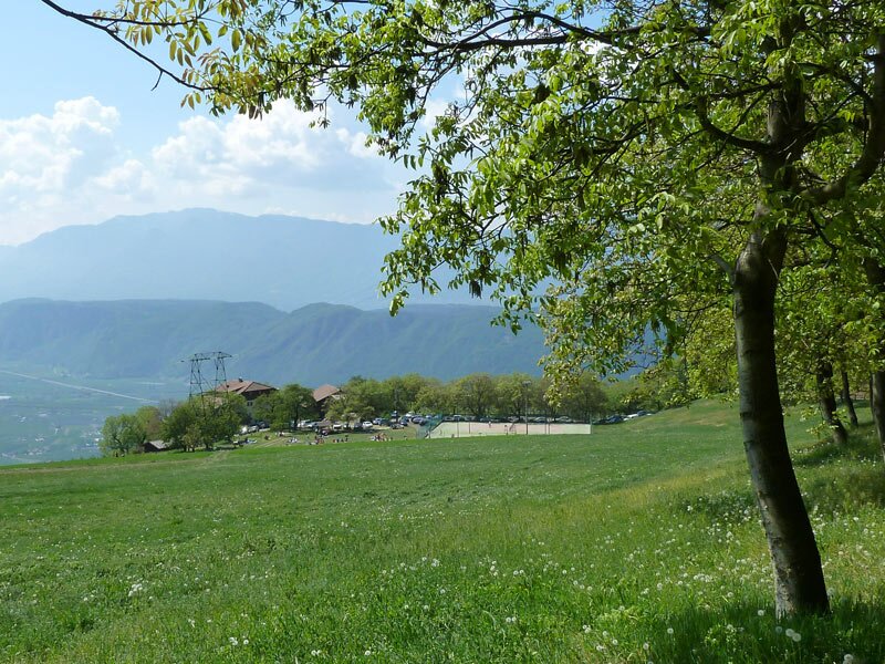
D-0519-leiferer-hoehenweg-breitenberg-steinerhoefe-obersteiner-untersteiner.jpg
-
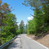
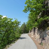
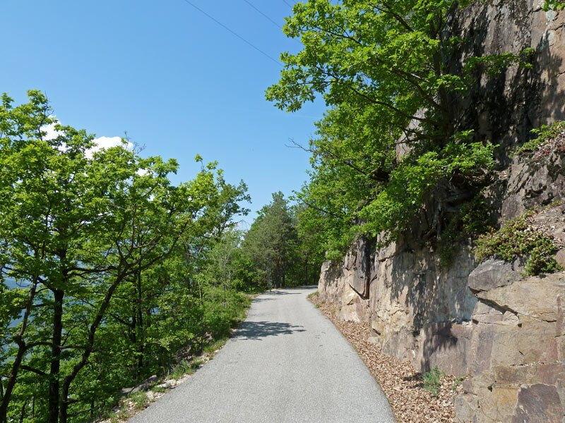
D-0536-leiferer-hoehenweg-breitenberg-strasse-abschnitt.jpg
-
D-0539-leiferer-hoehenweg-breitenberg-weg-auf-schmalberg.jpg
-
D-0546-leiferer-hoehenweg-schiessenbachtal-luesenbachtal-bruecke.jpg
-
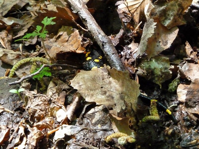
D-0549-salamander.jpg
-
D-0565-leiferer-hoehenweg-schmalberg-bei-spoerlhof-strasse-nach-seit-ebnerhoefe.jpg
-
D-0569-leiferer-hoehenweg-rechtebnerhof.jpg
-
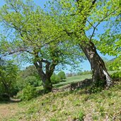
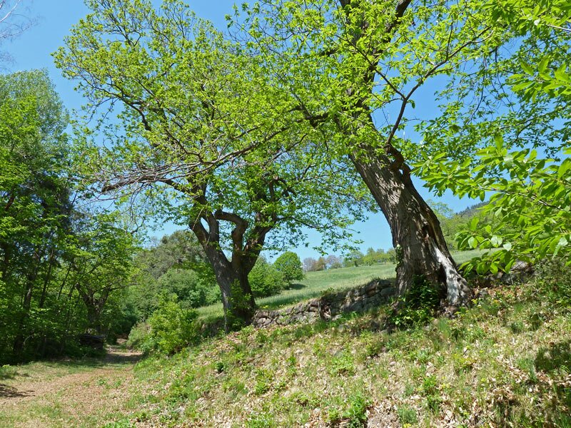
D-0574-leiferer-hoehenweg-bei-seit-kastanienbaeume.jpg
-
D-0587-leiferer-hoehenweg-bei-seit-wiesen.jpg
-
D-0601-leiferer-hoehenweg-bei-seit.jpg
-
D-0640-leiferer-hoehenweg-oberhalb-st-jakob-blick-auf-bozen.jpg
-
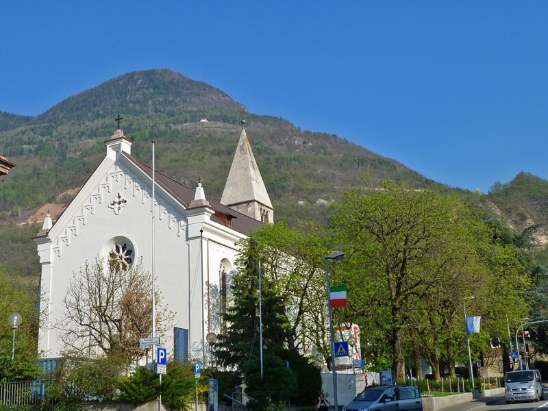
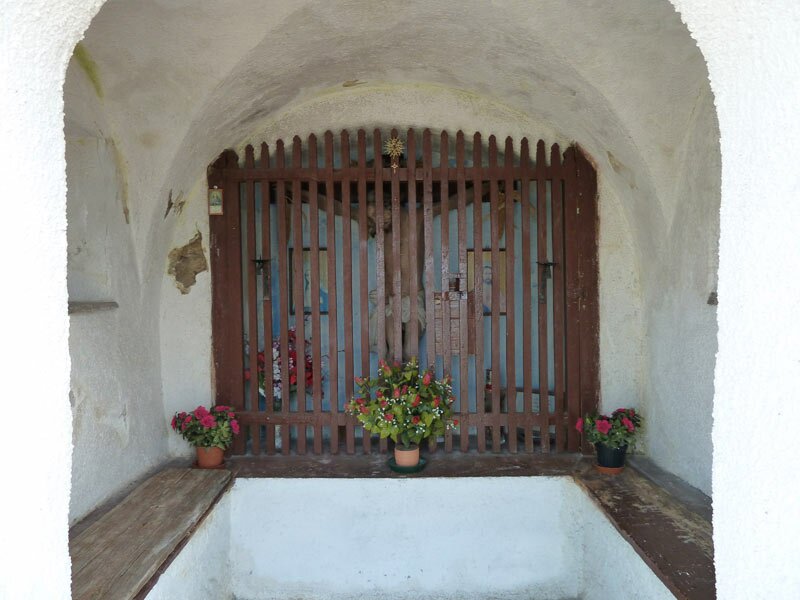
D-0655-kapelle-am-leiferer-hoehenweg-oberhalb-bozen-sued.jpg
-
D-0661-leiferer-hoehenweg-in-porphyr-stein-gehauener-ochsenkarrenweg-oberhalb-bozen-sued.jpg
-
D-0664-leiferer-hoehenweg-in-porphyr-stein-gehauener-steiler-ochsenkarrenweg-oberhalb-bozen-sued.jpg
-
D-0682-asphaltweg-nach-bozen-ortsschild.jpg
-
D-0689-bozen-haselburg.jpg
-
D-0695-bozen-haslach-promenade-haselburg.jpg
-
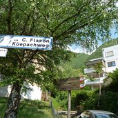
D-0707-bozen-haslach-kuepachweg.jpg
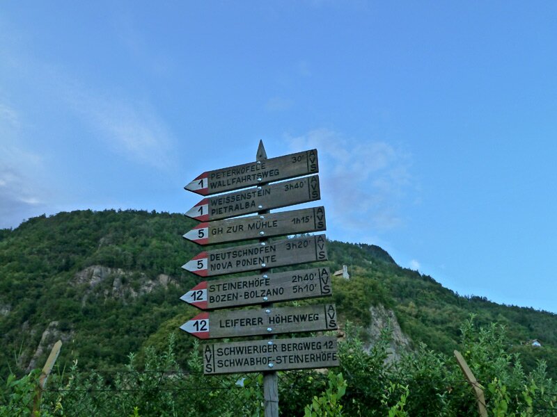
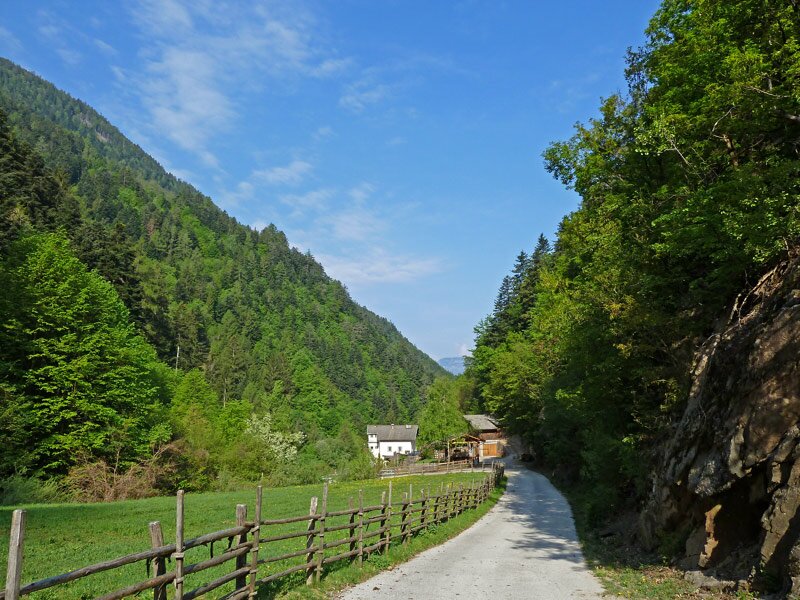
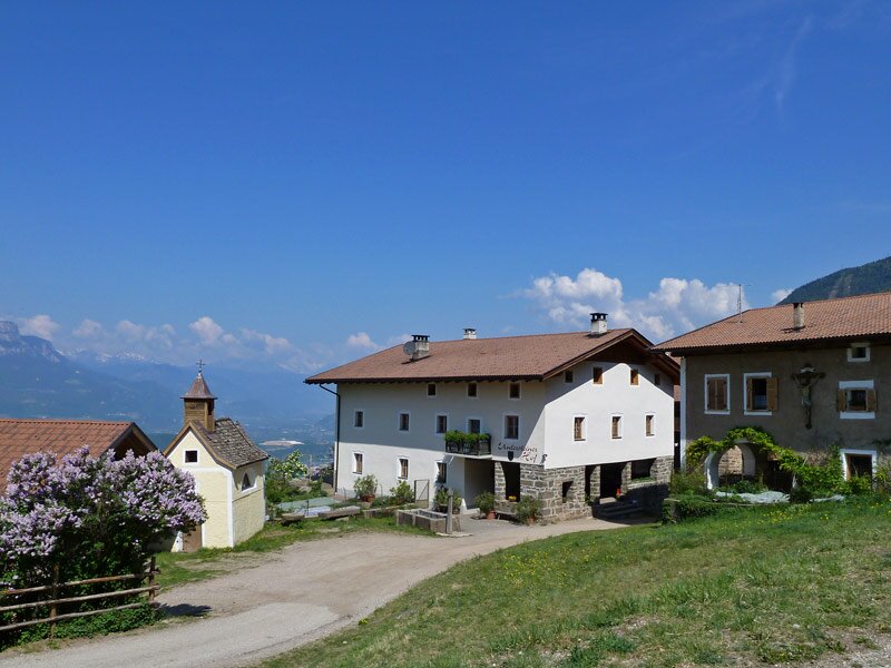
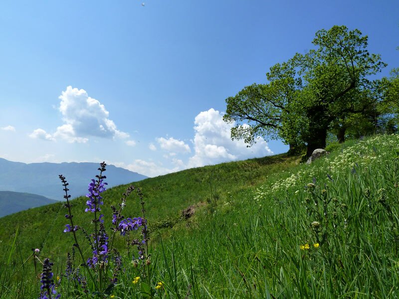

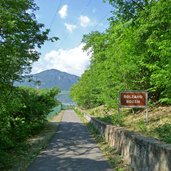
The first section (about 4 km) takes us from the porphyry red town-hall of Laives up the Vallarsa di Laives valley. We walk past fruit orchards and vineyards, the path lines the road. This section is challenging and exhausting, even if a rough rock face and rushing mountain river provide interesting impressions. Past the Mühle im Tal (Taler) tavern, the signposts point towards the mountain and we walk up on an ancient walking trail to the Schwabhof farm. This is where the more exciting part of the Alta Via di Laives high path begins.
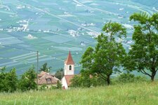
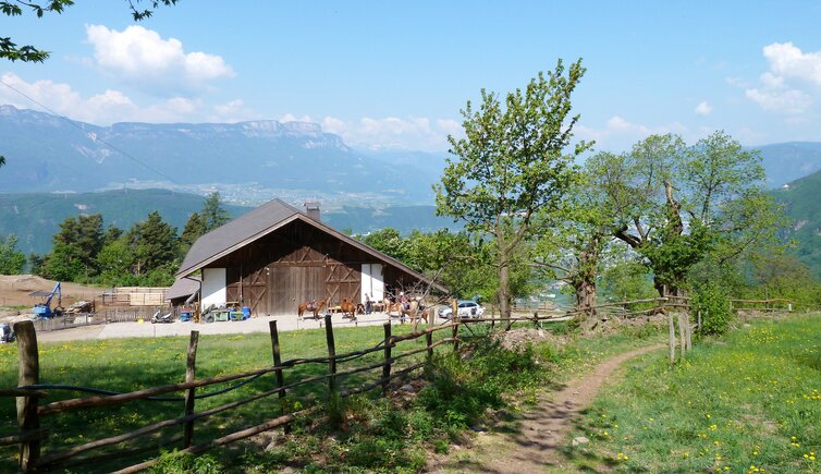
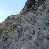
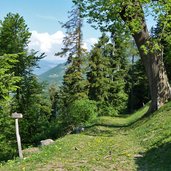
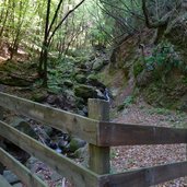
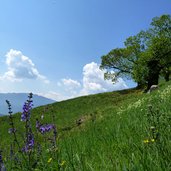
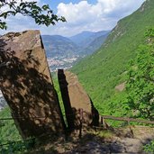
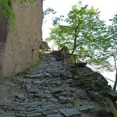
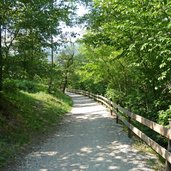
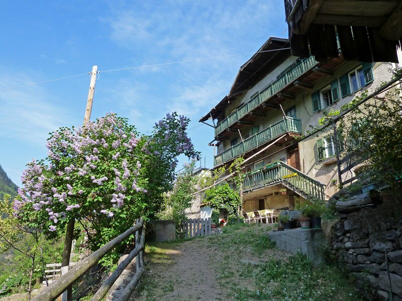
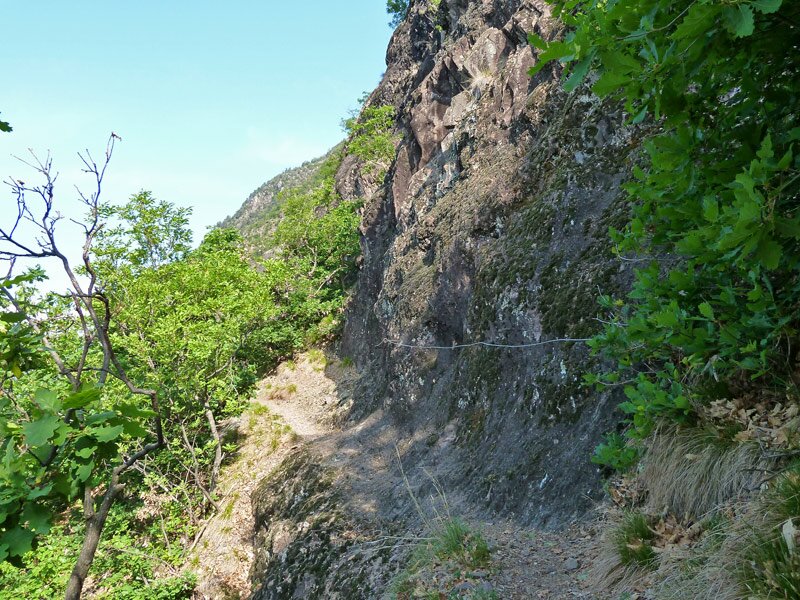
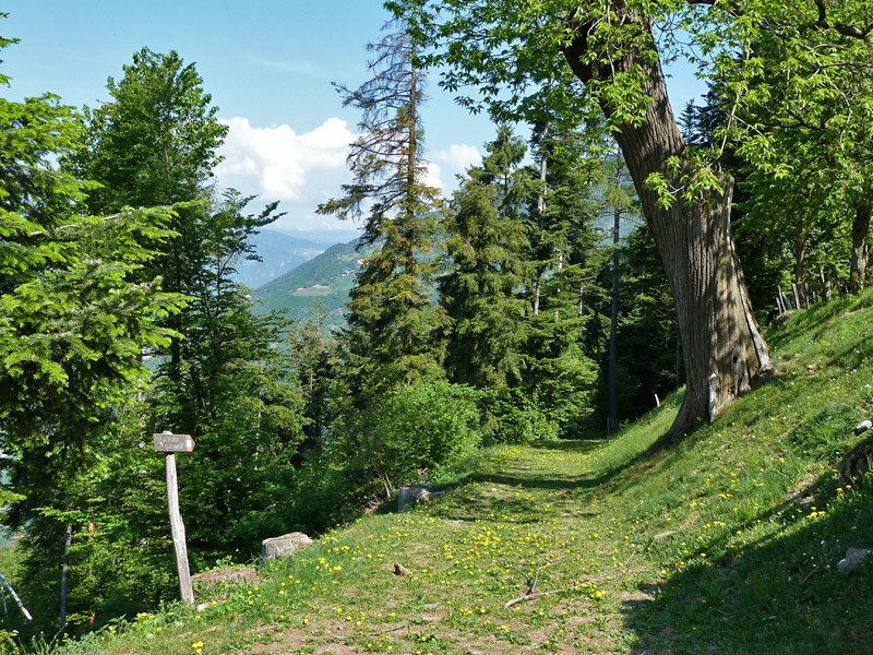
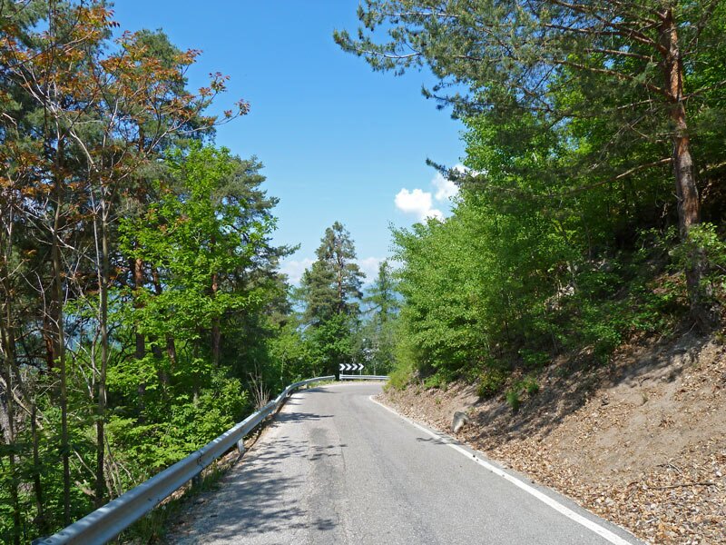
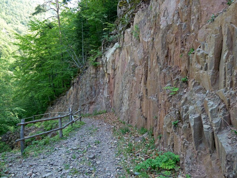
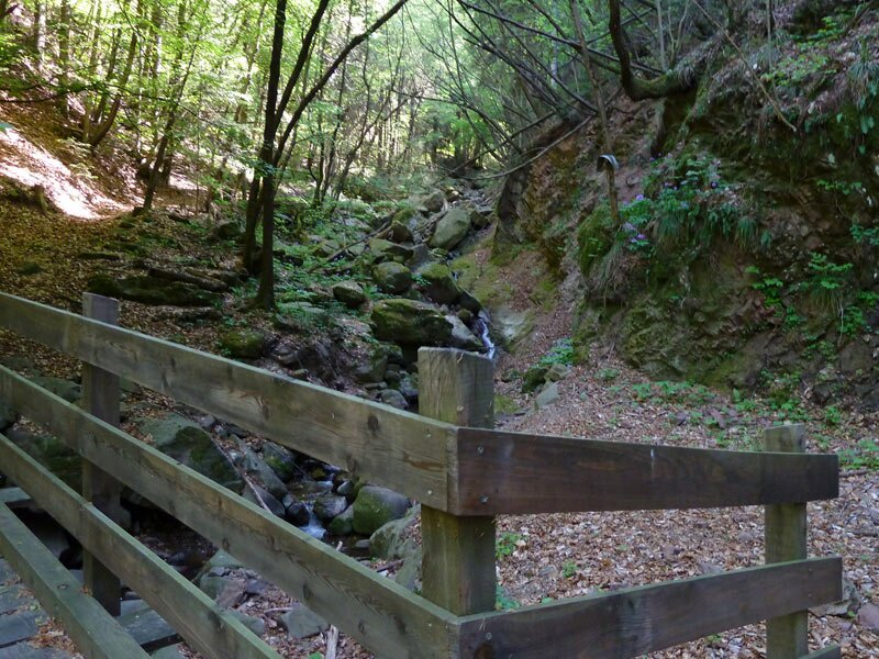
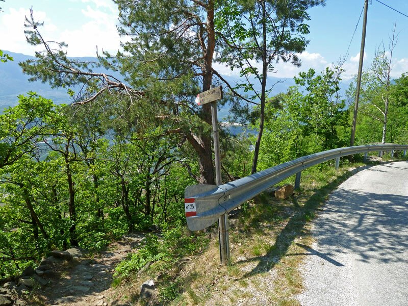
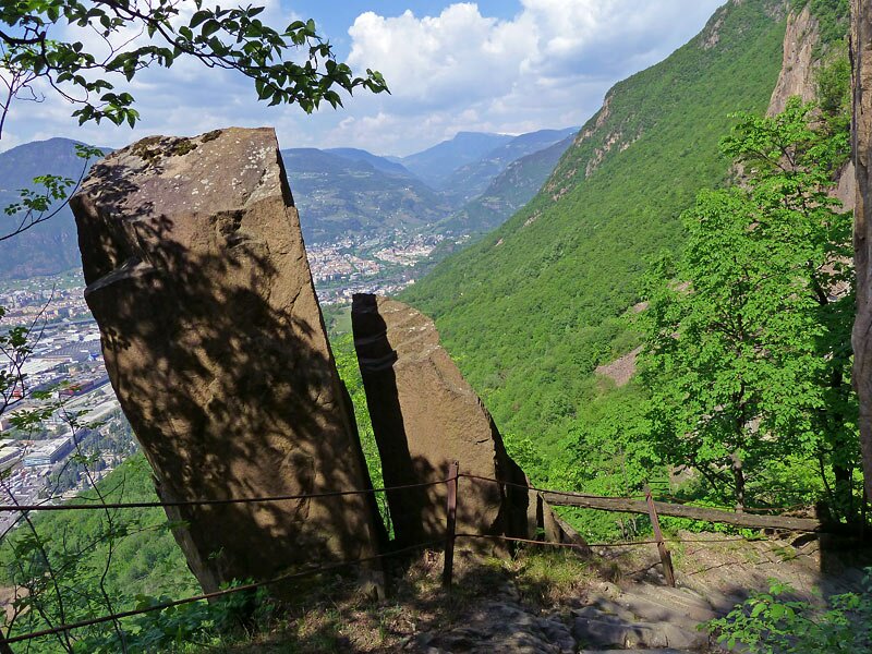
The path leads along the rough rocks and we also need to overcome some secured passages, which makes this path be considered an easy fixed-rope route.A viewpoint with a great view on Laives and the Bassa Atesina area marks the end of this section. Now we continue along the Monte Largo mountain and walk to the Steinerhöfe farms, a beautiful ensemble with a little chapel. Across a mixed forest and a short section on the asphalted road, we walk into a valley that divides the Monte Largo and the Schmalberg mountain. A wooden bridge makes us traverse a little river running down to Pineta, then we continue on a steep path to the chestnut trees of La Costa.
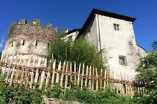
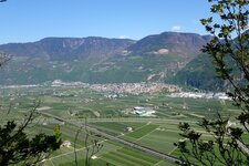
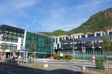
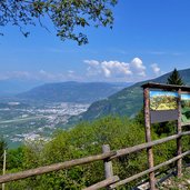
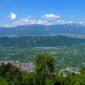
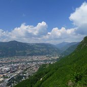
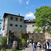
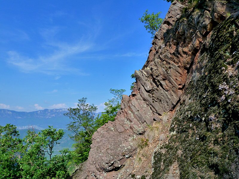
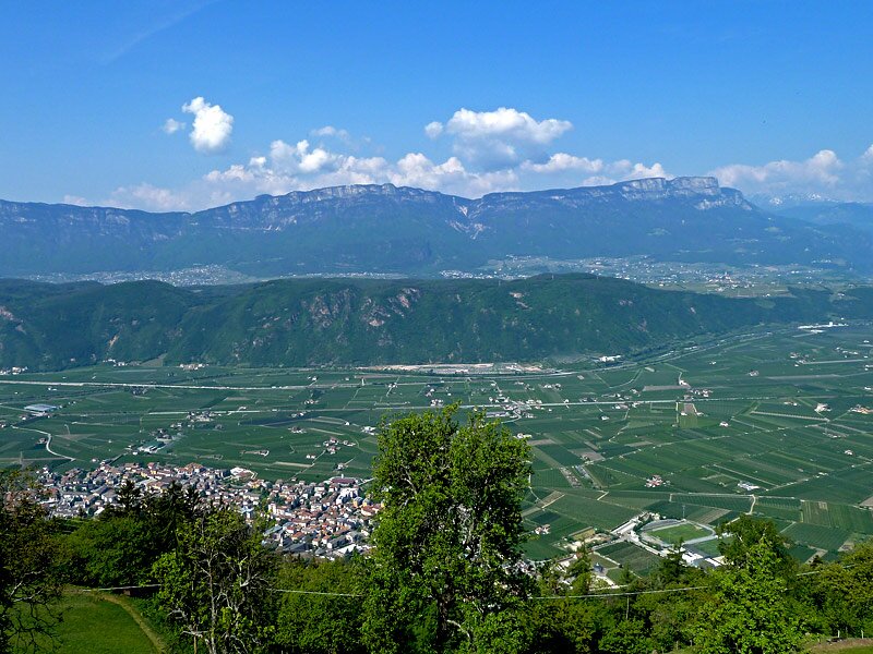
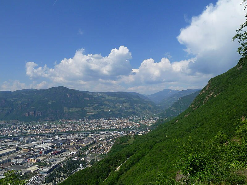
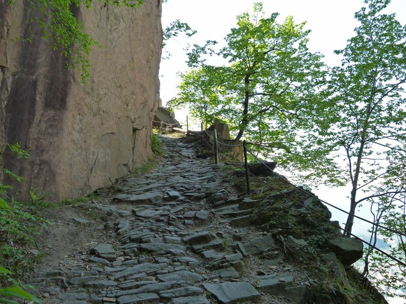
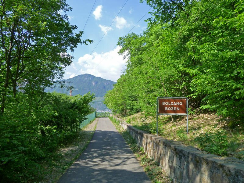
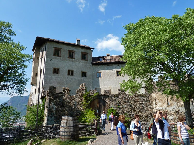
At the Rechtebnerhof farm we have already overcome great parts of the tour and therefore we decide to make a stop. We continue throughout the forest, soon the way down starts, taking us from 750 m to 250 m asl. We walk on a steep rock-cut path. The view of the city of Bolzano and the area surrounding Appiano is just amazing. The next highlight along the path is Castel Flavon, that is worth to be taken a closer look at. Only a short way is left to the walking path of Aslago (Haslacher Promenade). From this place we reach the Via Claudia Augusta in Bolzano's quarter of Oltrisarco, from where a bus takes us back to Laives. Climbing equipment not necessarily needed, but you need to be sure-footed. On hot summer days the tour is not recommendable, as the rock face attracts the sun and it might get rather hot.
Author: AT
-
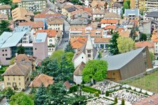
- Starting point:
- Laives (townhall)
-
- Time required:
- 06:00 h
-
- Track length:
- 17,6 km
-
- Altitude:
- from 249 m to 919 m
-
- Altitude difference:
- +941 m | -939 m
-
- Signposts:
- 12, 3
-
- Destination:
- Bolzano, Aslago Oltrisarco
-
- Resting points:
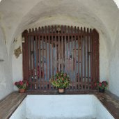
- Zur Mühle, Schwab, Rechtebner
-
- Recommended time of year:
- Jan Feb Mar Apr May Jun Jul Aug Sep Oct Nov Dec
-
- Download GPX track:
- Hike on the Alta Via di Laives
If you want to do this hike, we suggest you to check the weather and trail conditions in advance and on site before setting out.