From Merano 2000 to the local mountain of Scena - a mountain hike on the most striking panoramic mountain high above Merano
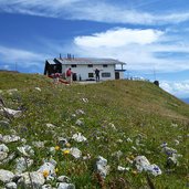
Image gallery: Mountain tour to the Monte Ivigna
-
-
Video : Mt. Ivigna as seen from above
-
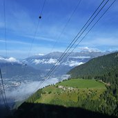
D-5002-meran2000-bergbahn-aussicht-meran-nebelfelder.jpg
-
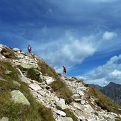
D-5134-weg-nr-3-und-19a-plattinger.jpg
-
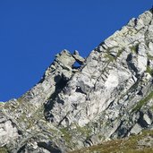
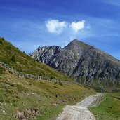
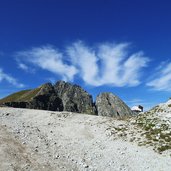
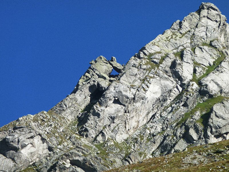
D-5155-plattenspitz-mit-loch.jpg
-
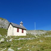
D-5176-st-oswald-kapelle-meran2000.jpg
-
D-5198-weg-bei-oswaldscharte.jpg
-
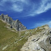
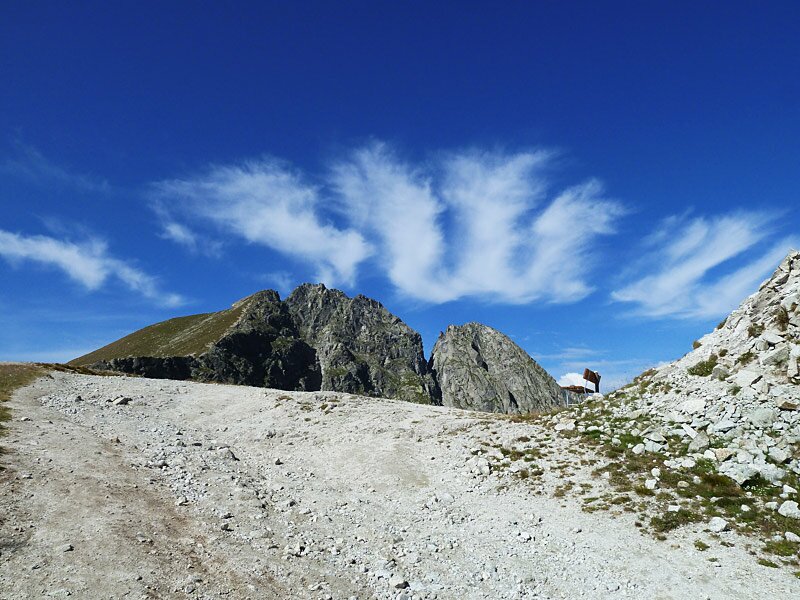
D-5269-am-kamm-bei-oswaldscharte.jpg
-
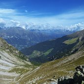
D-5278-oswaldscharte-nordblick-passeiertal.jpg
-
D-5289-aufstieg-ifinger.jpg
-
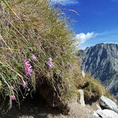
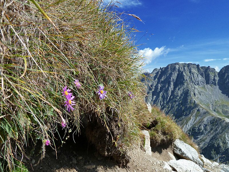
D-5321-astern-am-ifinger-hang.jpg
-
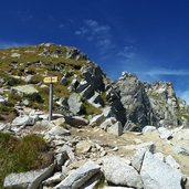
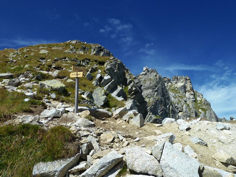
D-5325-abzweigung-kl-ifinger.jpg
-
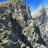
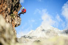
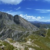
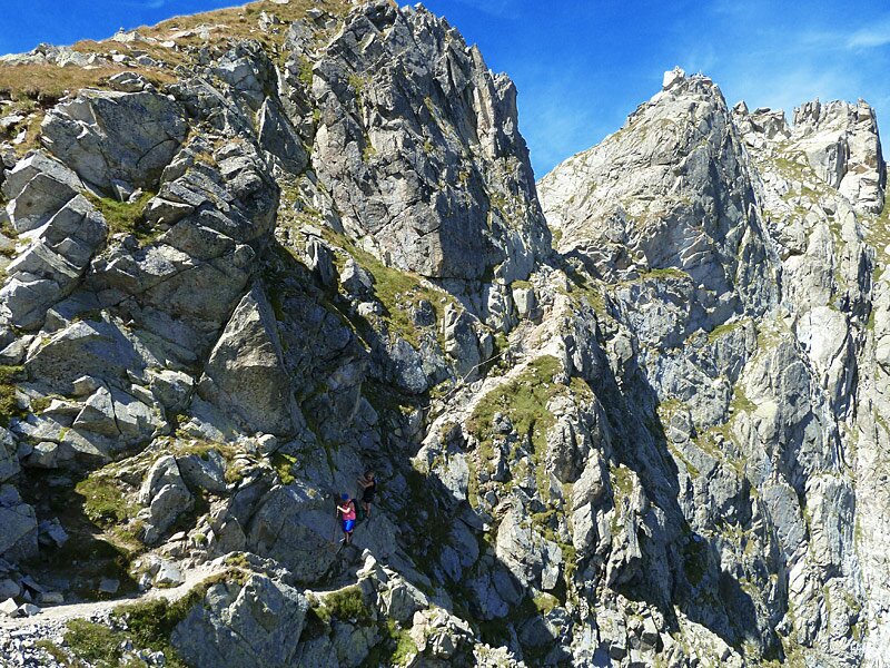
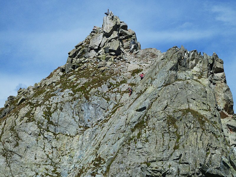
D-5334-ifinger-ferrata.jpg
-
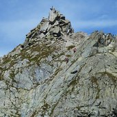
D-5361-klettersteig-grosser-ifinger.jpg
-
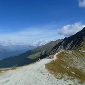
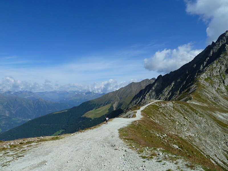
D-5432-aufstieg-ifinger.jpg
-
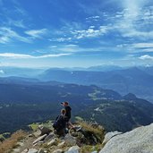
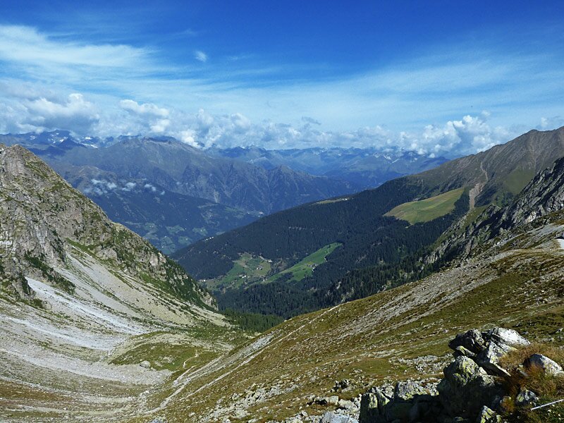
D-5403-sued-ausblick-ifinger.jpg
-
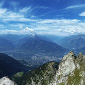
D-5351-ifinger-aussicht-west.jpg
-
D-5434-abstiegsweg-plattinger-und-kuehleitenhuette.jpg
-
D-5480-kuehleitenhuette.jpg
-
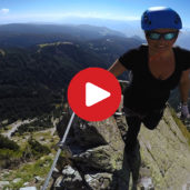
video : Via Ferrata Heini Holzer

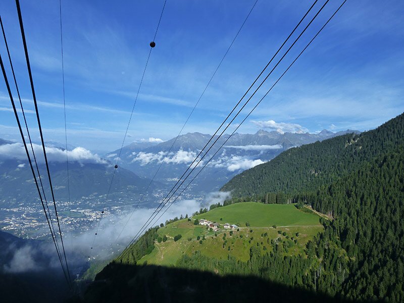
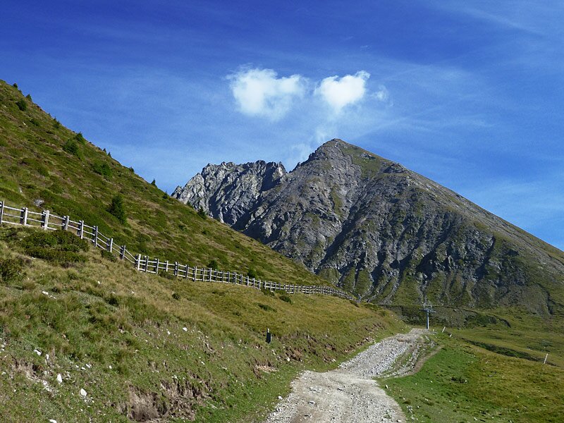

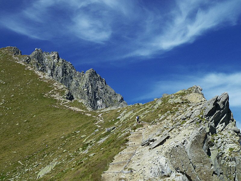
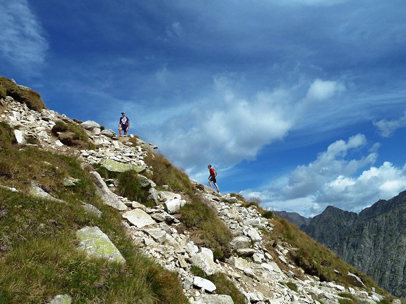
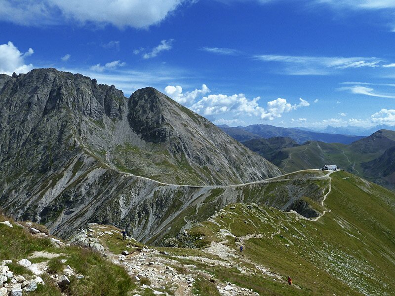
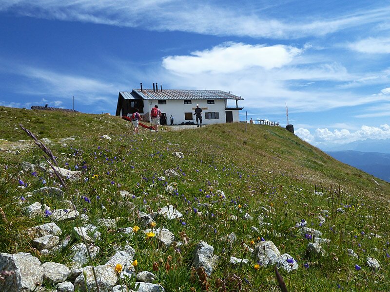

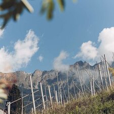
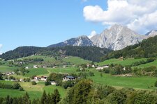
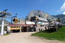
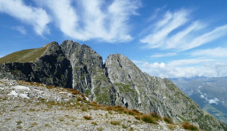
Merano 2000, the starting point of our summit tour on Monte Ivigna (Ifinger), can be reached via cable-way from Falzeben near Avelengo, or from Naif near Merano/Scena. We follow the signpost no. 3 and 19A towards the Kuhleiten Mountain Hut. The path is wide and rather easy at the beginning. Then the path gets a little more steep, we walk past the Oswald church, directed towards the Forcella Sant'Osvaldo mountain ridge (Oswaldscharte). This is where our trail joins the path, leading up from the Taser High Route via the Malga Streitweide mountain hut. Instead of walking down, we keep walking further up, steeply, at that. The path gets steeper and rougher with every step. On our left, steep and lushly green meadows, on the right the deep, but we are surrounded by a scenery that is continuously getting more impressive.
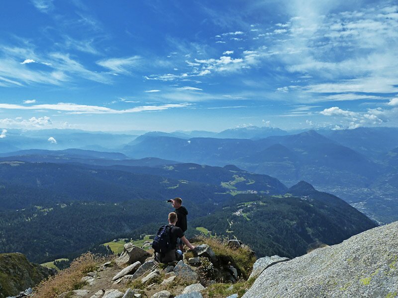
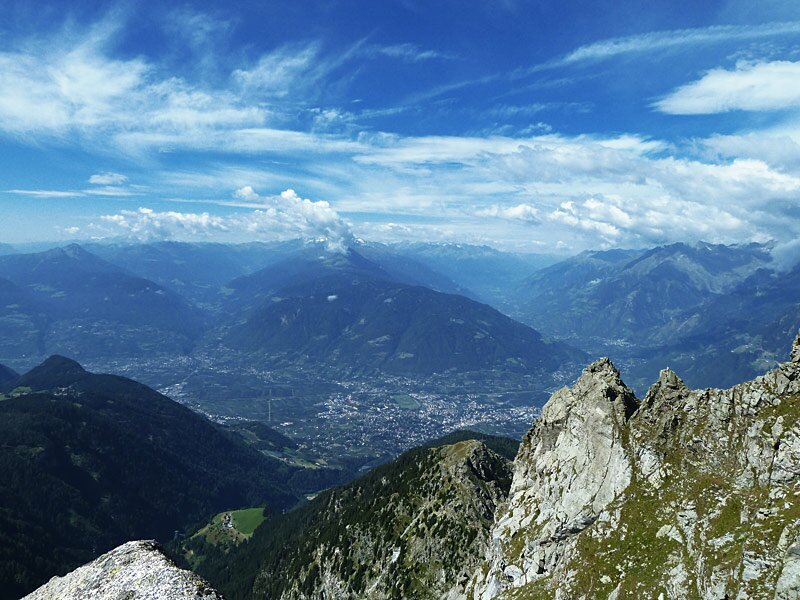
At a fork we have two possibilities: either take the left to the Small Monte Ivigna, or the right to the huge 25 m higher main summit. Those who decide to scale the higher summit, should be rather experienced and be free from giddiness. Those who prefer walking than climbing, should decide to take the path to the lower version of the Monte Ivigna. A few steps later, we reach the summit and we admire the breathtaking view, ranging from the Ortles mountain group and the Adamello glacier via the Brenta Dolomites and the Monte Baldo at Lake Garda, in the east to the Dolomites with Sasso Putia and Mt. Marmolada, as well as the Catinaccio-Latemar massif, and in the north the Tessa Group and the Oetztal and Stubai Glaciers. What is highly recommendable is to bring binoculars. The descent follows the same route, a stop at the Kuhleiten Mountain Hut is a must!
Author: AT
-
- Starting point:
- mountain station Merano 2000 (cable car)
-
- Time required:
- 03:50 h
-
- Track length:
- 10,5 km
-
- Altitude:
- from 1.889 m to 2.553 m
-
- Altitude difference:
- +666 m | -666 m
-
- Signposts:
- no. 3, 19A, 19
-
- Destination:
- Ivigna / Ifinger
-
- Resting points:
- Kühleiten mountain hut
-
- Recommended time of year:
- Jan Feb Mar Apr May Jun Jul Aug Sep Oct Nov Dec
-
- Download GPX track:
- Mountain tour to the Monte Ivigna
If you want to do this tour, we suggest you to check the weather and trail conditions in advance and on site before setting out.