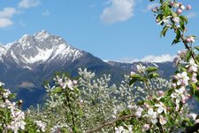
This hike of medium difficulty follows the slopes of Mt. Mendola and offers a stunning with to the Dolomites
Image gallery: Hike on the Appiano High Route to Buchwald
-
-
1428916576_D-0380-steinegger-start.jpg
-
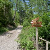
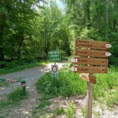
1428916576_D-0388-wegweiser-matschatsch-furglau.jpg
-
1428916576_D-0393-aufstieg-furglau.jpg
-
1428916576_D-0418-abzweigung-eppanerhoehenweg.jpg
-
1428916576_D-0449-eppaner-hoehenweg-bei-furglau.jpg
-
1428916576_D-0456-wegweiser-eppaner-hoehenweg.jpg
-
1428916576_D-0477-aussicht-richtung-bozen.jpg
-
1428916576_D-0489-eppaner-hoehenweg-waldpfad.jpg
-
1428916576_D-0499-abstieg-richtung-buchwald.jpg
-
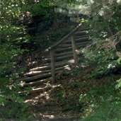
1428916576_D-0511-treppe-abstieg-buchwald.jpg
-
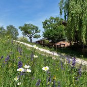
1428916576_D-0551-wiesen-bei-buchwald.jpg
-
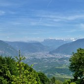
1428916576_D-0560-sicht-ueber-bozen.jpg
-
1428916576_D-0586-forst-weg-st-valentin.jpg
-
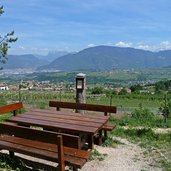
1428916576_D-0597-bank-am-weg-st-valentin.jpg
-
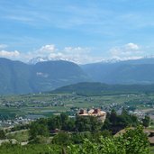
1428916576_D-0602-blick-auf-eppan-st-valentin.jpg
-
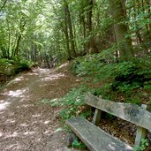
1428916576_D-0613-laubwald-st-valentin.jpg
-
1428916577_D-0633-ende-weg-st-valentin-bei-steinegger.jpg
-
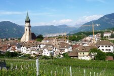
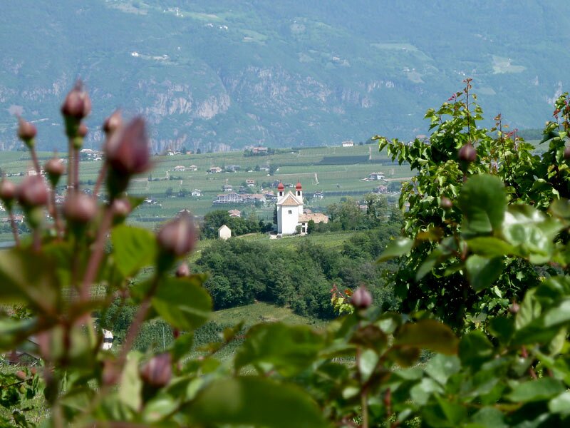
1428916577_D-0642-blick-auf-gleifkirche.jpg
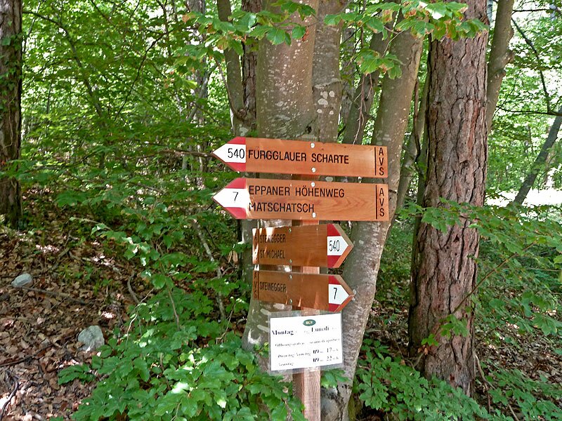
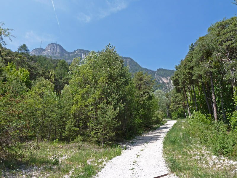

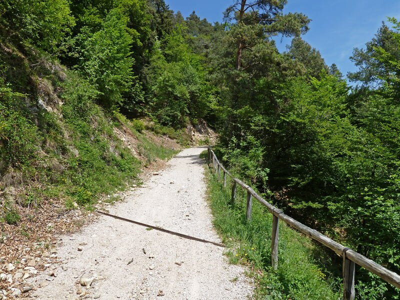


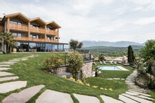
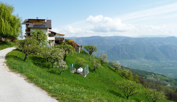
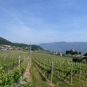
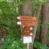
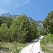
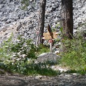
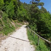
At the Steinegger tavern (650 m a.s.l.) in the west of San Michele Appiano, our tour starts. First we have to walk up at an altitude of almost 1,000 m a.s.l. in order to reach the Alta Via d'Appiano, or Appiano High Route (Eppaner Höhenweg). There are two possibilities: either the easier, but longer trail via Masaccio (Masatsch), or the shorter and more challenging tour at the forested trail of Forcolana. We decide for the latter option. Finally we reach the crossing where the two routes join, directly under a debris cone at the riverside. Now we proceed towards north, with modest ascent.
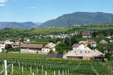
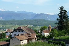
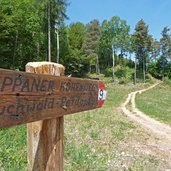
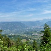
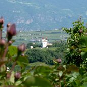
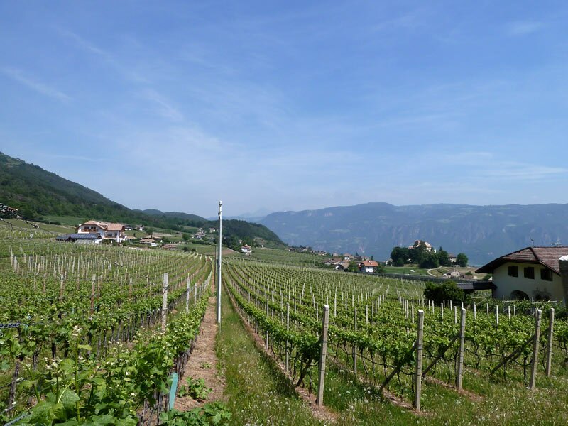
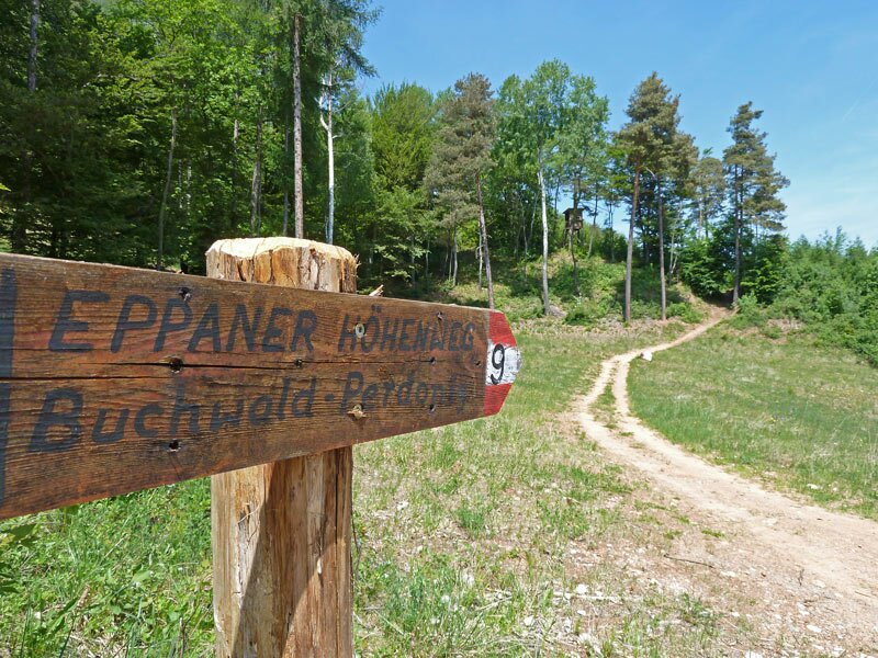
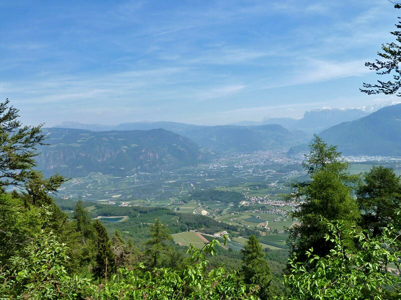
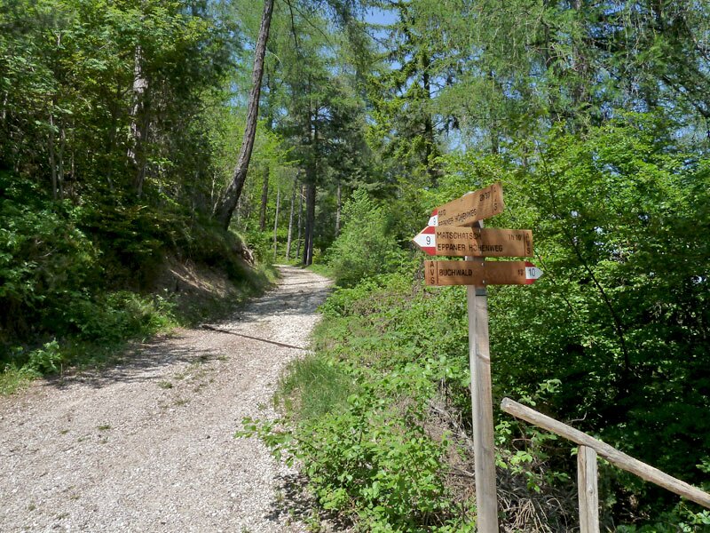
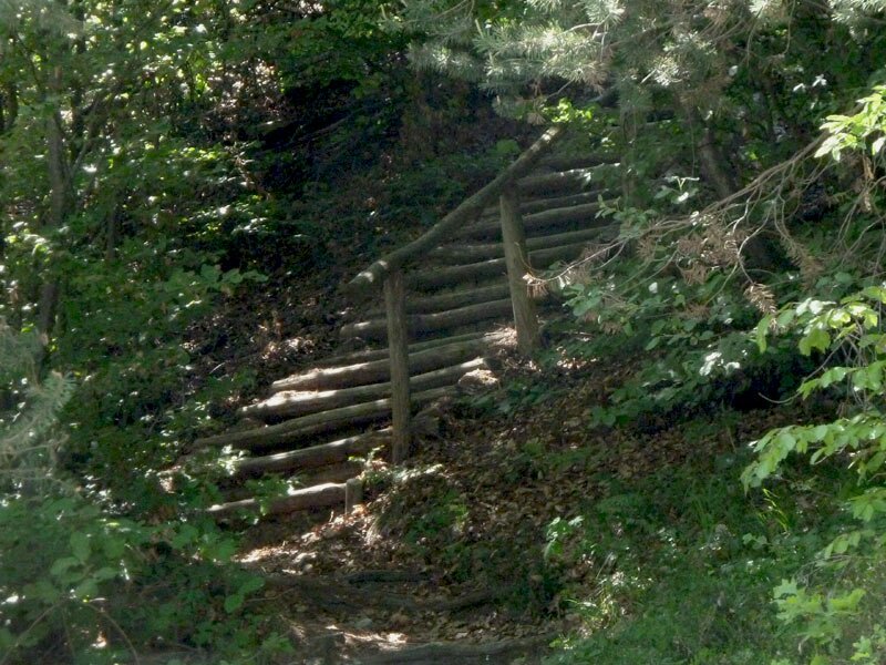
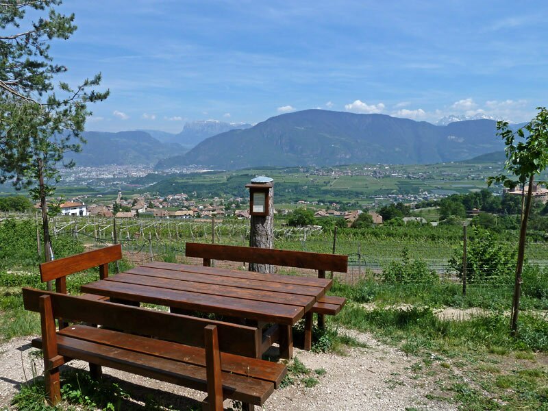
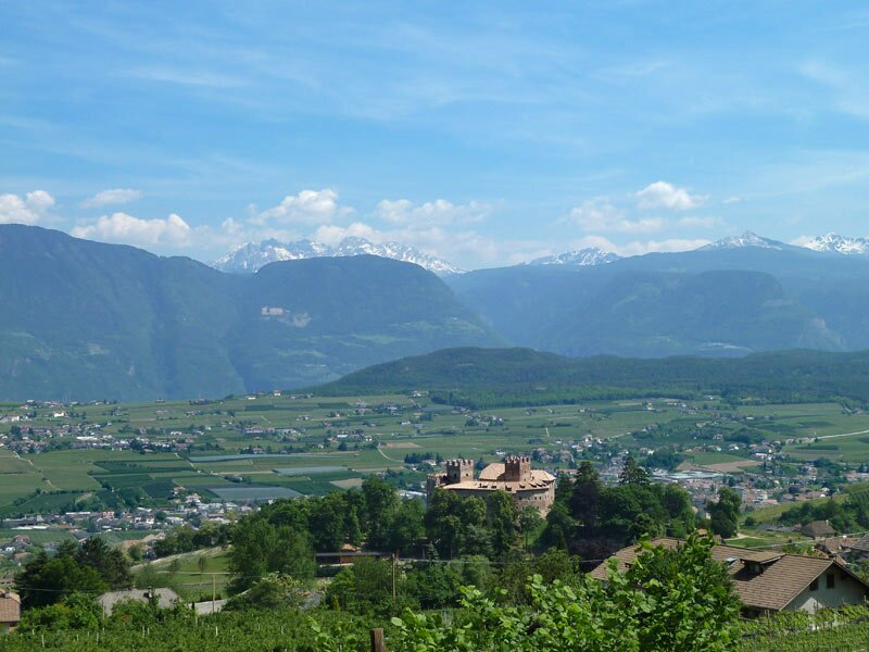
Further on the trail proceeds even downwards. What is particularly impressive regarding this tour are the views on the villages of Appiano and Bolzano, in the background the Dolomites. The trail no. 9 meets the parallel forested road, at the next crossing we follow the signposts to "Buchwald" (Faedo) instead of heading for Gaido.
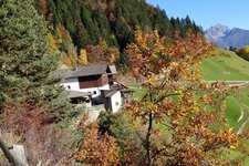
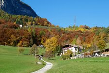
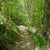
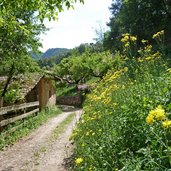
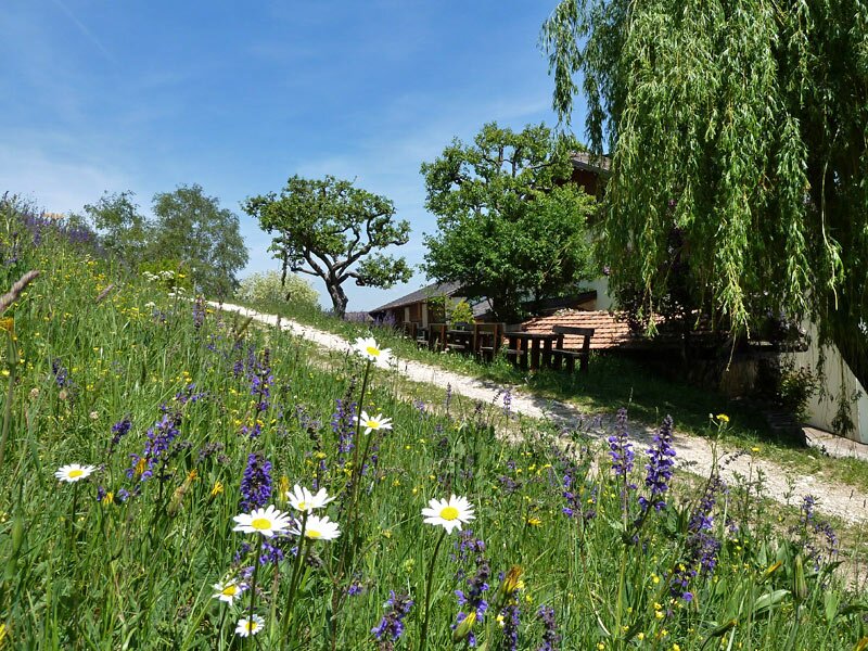
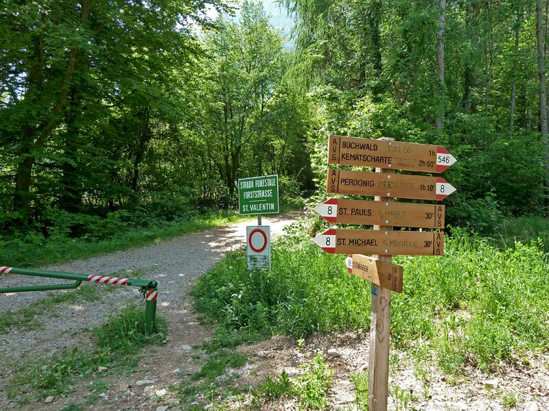
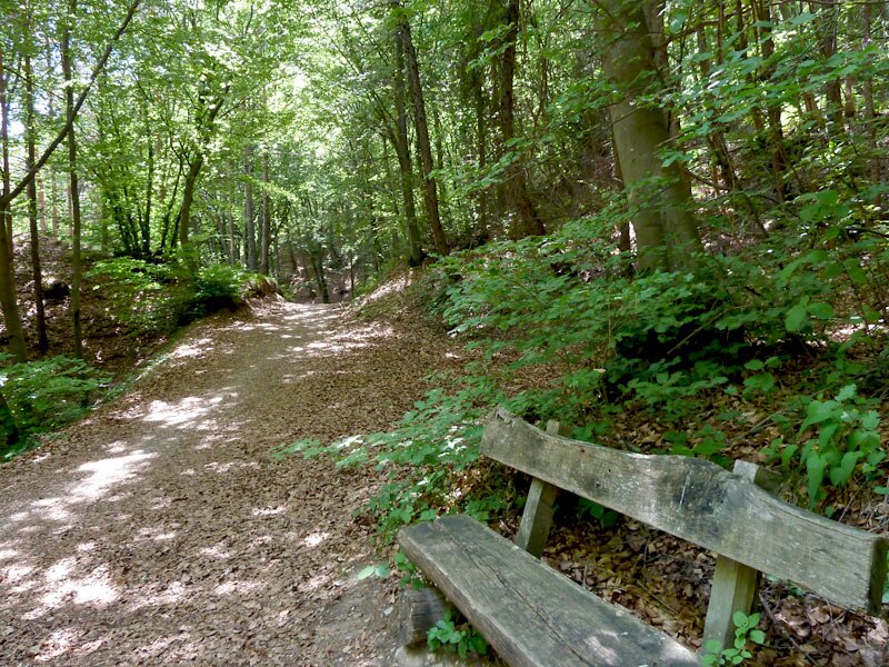
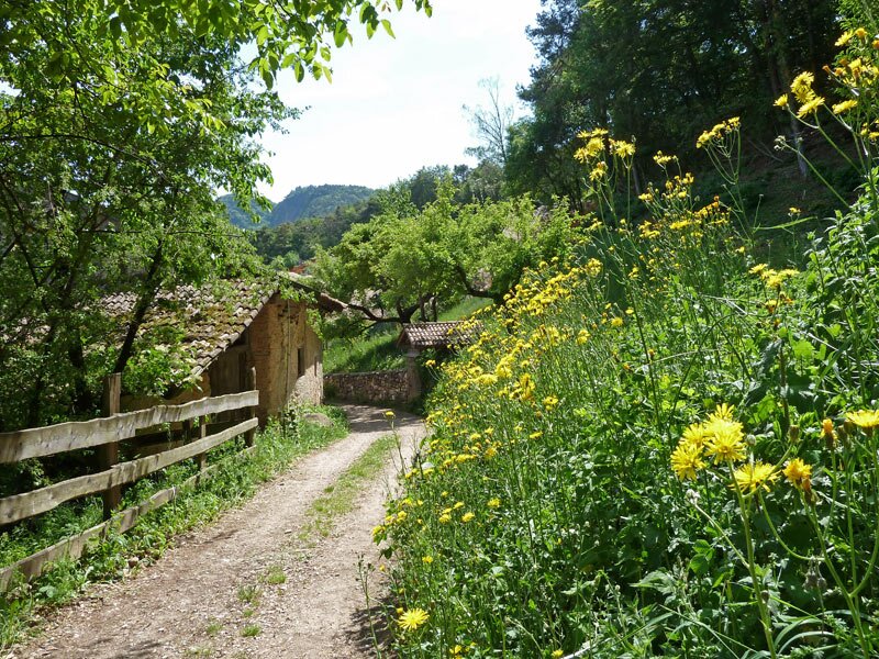
Buchwald is by the way located in the heart of a colourful flower meadow at the foot of Mt. Ganda. After lunch we enjoy the view, before we proceed. On the trail 546 we reach a bar (short before reaching the road to Predonico), where we take the San Valentino trail (8B), returning to the Steinegger tavern. This is where we have further possibilities to enjoy a great view on Appiano.
Author: AT
-
- Starting point:
- Steinegger tavern
-
- Time required:
- 03:10 h
-
- Track length:
- 8,3 km
-
- Altitude:
- from 616 m to 1.035 m
-
- Altitude difference:
- +434 m | -434 m
-
- Signposts:
- 540, Furglau forest path, 9, Appiano High Route, 10, "nach Buchwald", 546, 8B, San Valentino forest path
-
- Resting points:
- Steinegger, Kreuzstein
-
- Recommended time of year:
- Jan Feb Mar Apr May Jun Jul Aug Sep Oct Nov Dec
-
- Download GPX track:
- Hike on the Appiano High Route to Buchwald
If you want to do this hike, we suggest you to check the weather and trail conditions in advance and on site before setting out.