Cosy walk along the Monte di Mezzo of Caldaro (Kalterer Mitterberg)), retracing the reawakening nature in the deciduous woods
Image gallery: May hike in the Val di Fusca valley
-
-
D-8908-kreither-sattel.jpg
-
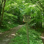
D-8898-abzweigung-weg-bei-kreither-sattel.jpg
-
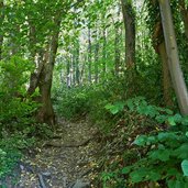
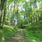
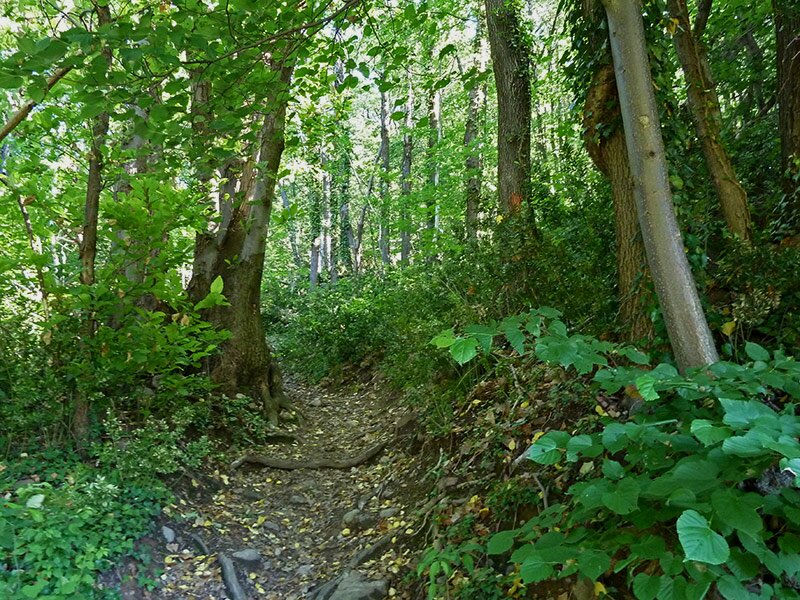
D-8900-waldpfad-kreither-sattel-richtung-valplon.jpg
-
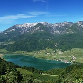
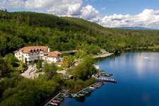
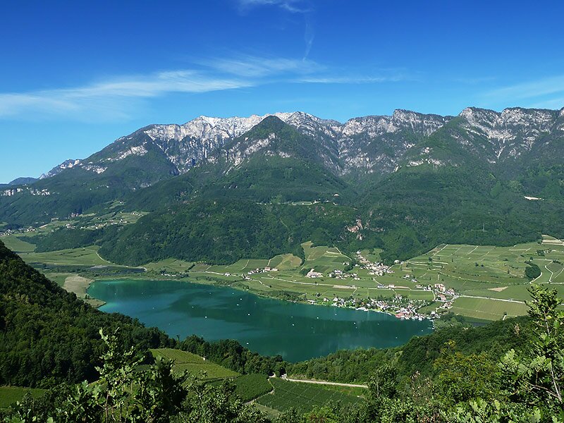
D-8931-aussicht-kalterersee.jpg
-
D-8920-ruppiger-aufstieg-kreithersattel.jpg
-
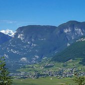
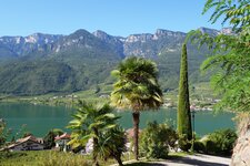
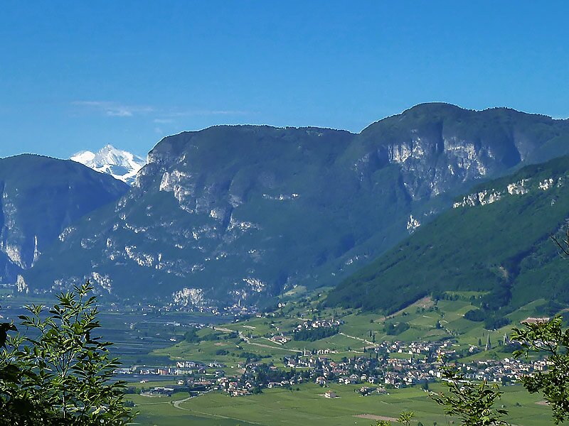
D-8942-aussicht-tramin-und-monte-bondone.jpg
-
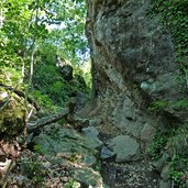
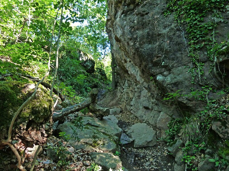
D-8952-kleines-steintal.jpg
-
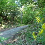
D-8964-waldweg-unterberg.jpg
-
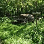
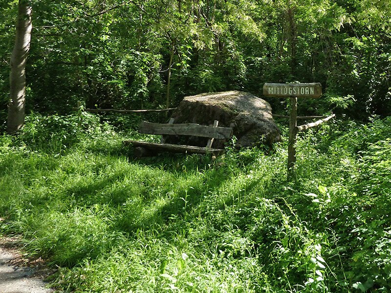
D-8968-mittogstoan-kleines-steintal.jpg
-
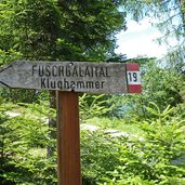
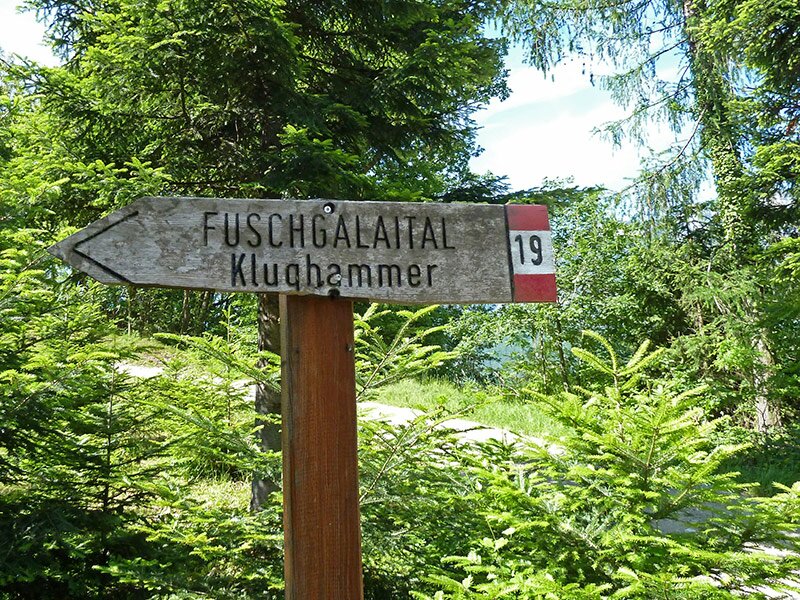
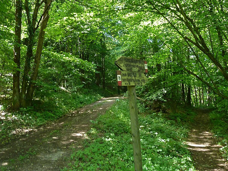
D-8978-wegweiser-nr19-fuschgalaital.jpg
-
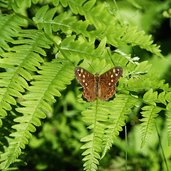
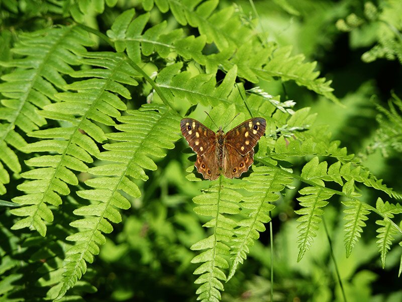
D-8984-waldbrettspiel.jpg
-
D-8990-weggabelung-19-fuscalei.jpg
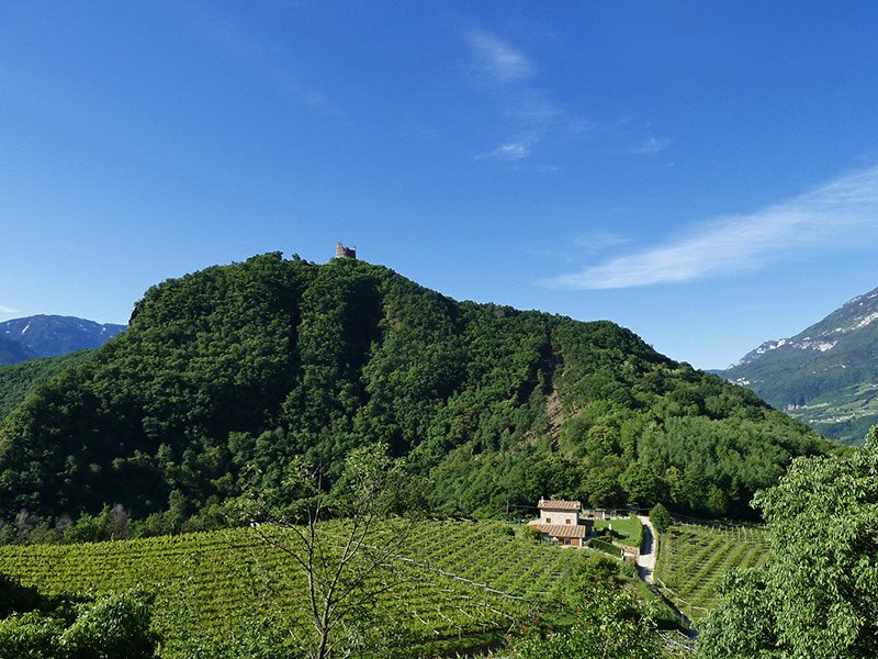
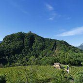
A little distance from the common hiking routes Spring Valley and Castelchiaro ruin, there is the Fusca Valley (Fuschgalaital), which emerged at the end of the ice age when the glacial tongue of the Lake Caldaro retreated. It lies in a fairytale location underneath the Monte di Mezzo of Caldaro. Starting point is the Passo di Novale al Varco (Kreither Sattel), also called "Koyotenpass" or "Much", about 50 m in the west of the mountain pass.
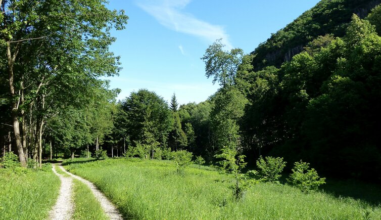
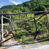
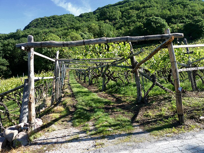
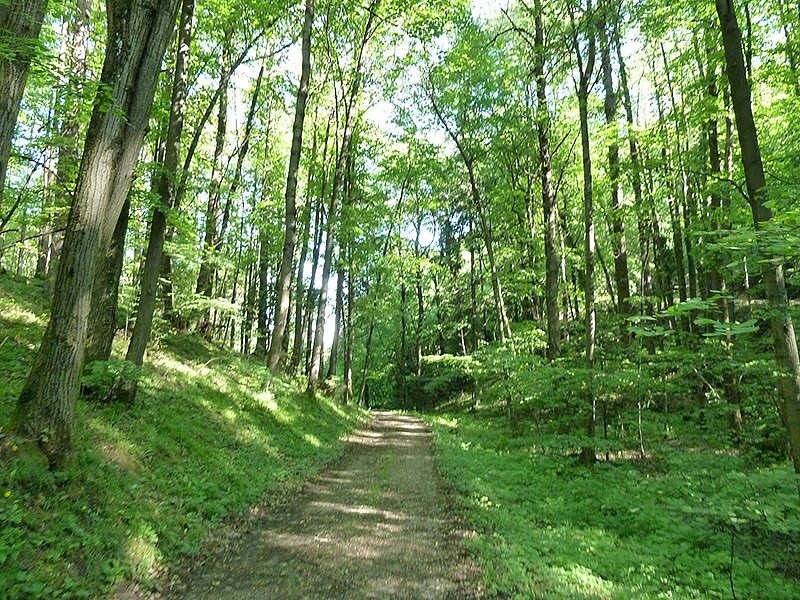
The access to the forested trail is not marked and first takes us through a vineyards in northern direction, then the narrow path stretches through the forest and Macchia landscape along the southern slope of the Monte di Sotto. After a short stage the way up, a forest trail ("Valle di Valplon - Piccola Valle dei Sassi") is reached. We follow this path towards north, traverse the little Piccola Valle dei Sassi (literally: Small Stone Valley), then the path joins the Monte di Sotto-Unterberg path.
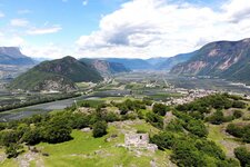
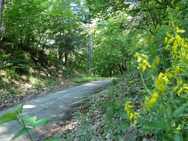
Walking down, we reach the junction to the forested road "Fuscaleital" (no. 19), leading to the south. Above the village of Campi al Lago, the path no. 19 diverts from the broad forested road, leading us back to the Passo di Novale al Varco. The last 500 m stretch through the forest, then on the forested road, before reaching the pass. Especially in the last stage of the walk you can enjoy a great view of Lake Caldaro, the surrounding mountains up to the Monte Bondone near Trento.
Author: AT
-
- Starting point:
- Kreither Sattel near Campi al Lago
-
- Time required:
- 02:00 h
-
- Track length:
- 6,2 km
-
- Altitude:
- from 343 m to 532 m
-
- Altitude difference:
- +214 m | -214 m
-
- Signposts:
- forested road Valplon - Monte di Sotto, Val Fusca (no. 19)
-
- Recommended time of year:
- Jan Feb Mar Apr May Jun Jul Aug Sep Oct Nov Dec
-
- Download GPX track:
- May hike in the Val di Fusca valley
If you want to do this hike, we suggest you to check the weather and trail conditions in advance and on site before setting out.