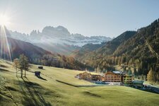
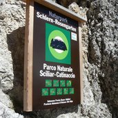
An Alpine walk in the realm of King Laurin - a high alpine tour around the more than 3,000 m high Mt. Catinaccio
Image gallery: Mountain tour around the Catinaccio
-
-
Video : Catinaccio - Latemar
-
1248704129P1080843.jpg
-
1248704472P1080844.jpg
-
1248704533P1080849.jpg
-
1248704575P1080850.jpg
-
1248704607P1080866.jpg
-
1248704647P1080873.jpg
-
1248704684P1080890.jpg
-
1248704723P1080897.jpg
-
1248704835P1080905.jpg
-
1248704875P1080919.jpg
-
1248704938P1080927.jpg
-
1248705013P1080935.jpg
-
1248705114P1080940.jpg
-
1248705176P1080952.jpg
-
1248705219P1080970.jpg
-
1248705255P1080978.jpg
-
1248705305P1080983.jpg
-
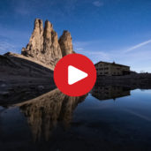
video : A night at the Vajolet Towers
-

video : Ski Area Carezza Dolomites

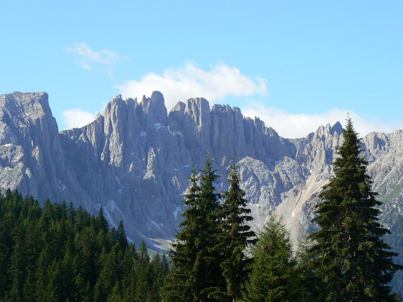
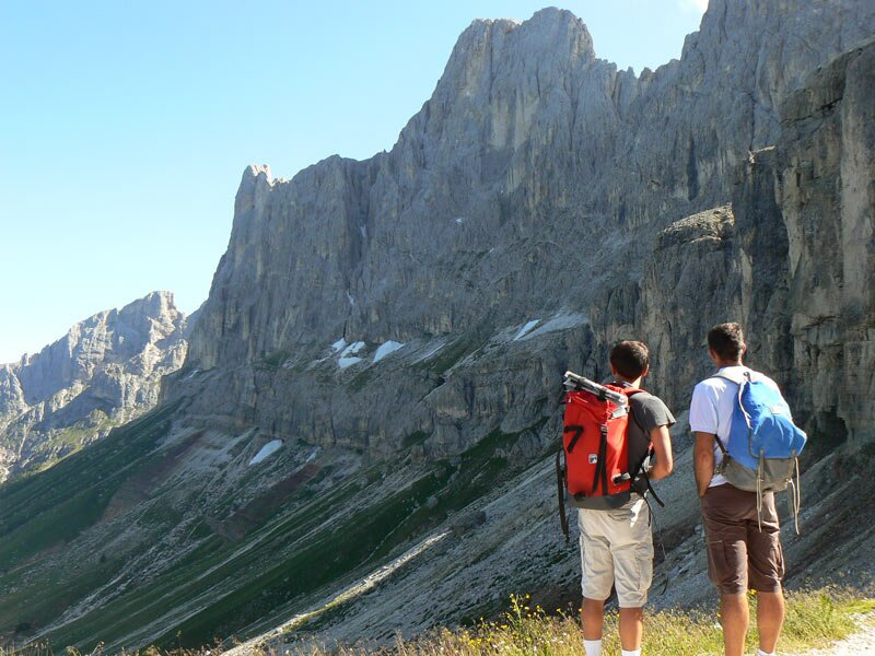
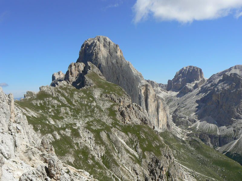
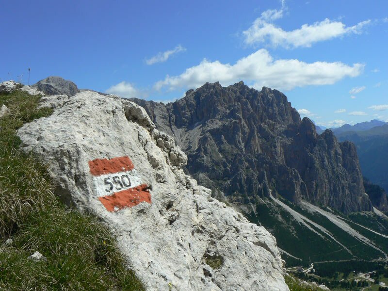
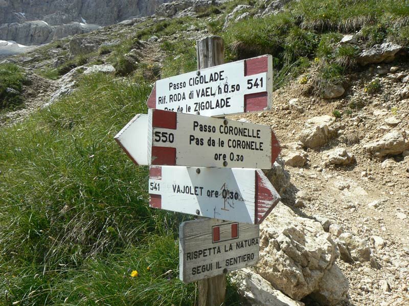
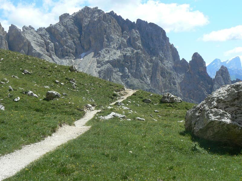
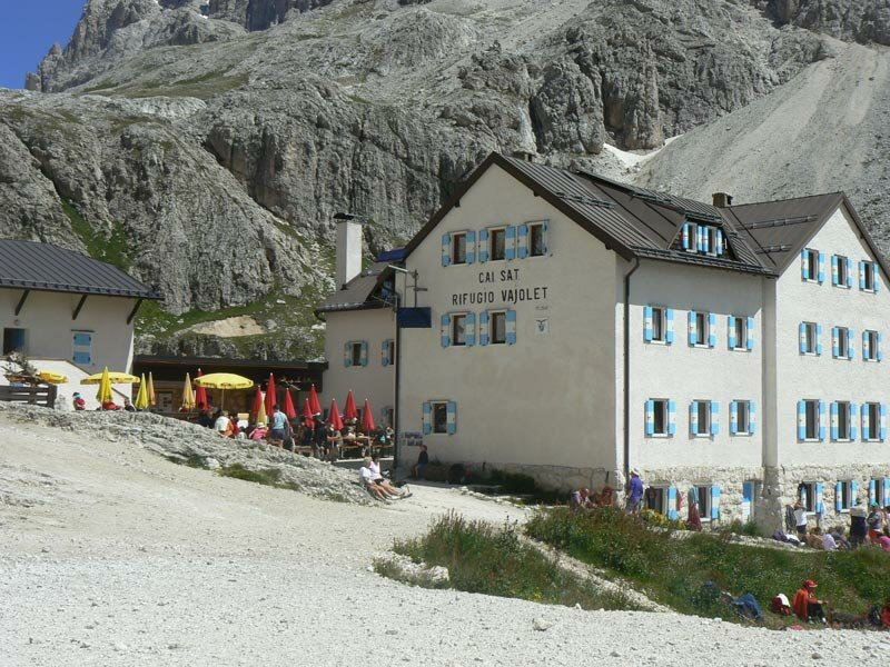
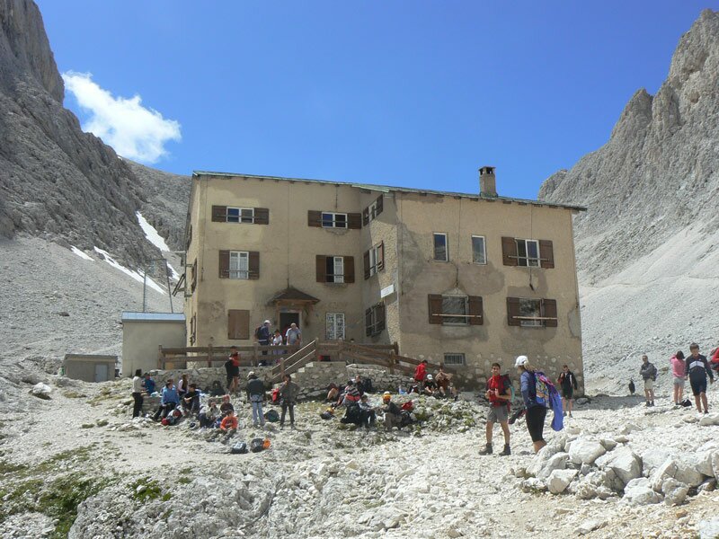
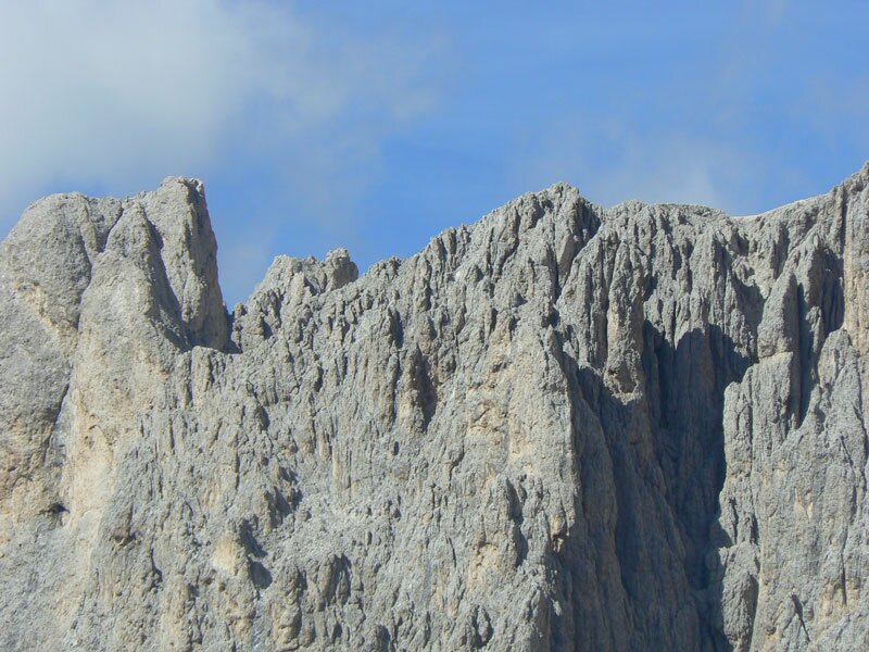


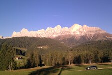
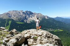
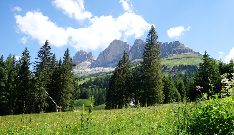
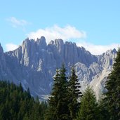
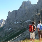
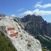
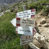
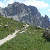
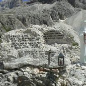
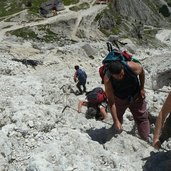
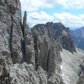
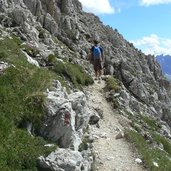
The weather is just fabulous and there is no cloud in the sky, so we decide to do a walk round the Catinaccio mountain range (Rosengarten). We start at the mountain station of the Laurin Chairlift and walk to the Fronza alle Coronelle Mountain Hut (Kölner Hütte, 2,337 m a.s.l.). On the path no. 550 we proceed to the "Pas de le Coronele" at 2,630 m a.s.l. The way up to the first pass is rather exhausting and you need to be sure-footed, there are securing ropes. Once we reach the top, we can enjoy a fabulous view on the Catinaccio and the Val di Fassa valley in the Trentino, that make us forget all the efforts. After a short break we continue the way down on a steep slope up to a crossing of the ways. We keep left on the path no. 541 leading to the Vajolet Mountain Hut. Even if the signposts indicates 30 minutes, we needed 45 minutes to reach it. The path to the mountain hut stretches at the foot of the southern faces of the mighty peaks of the Catinaccio.
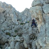
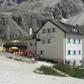
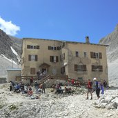
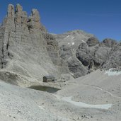
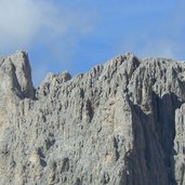
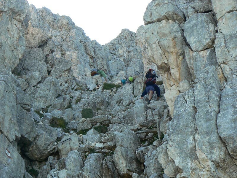
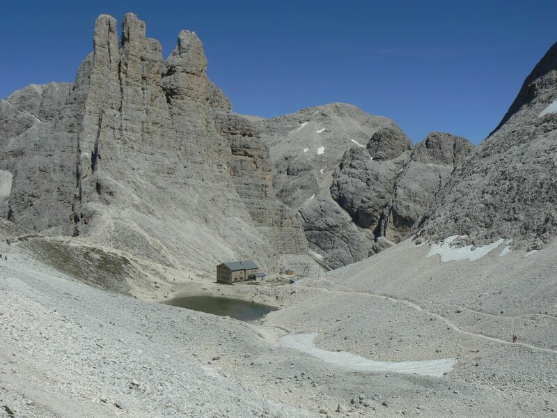
Once we reach the 2,354 m high Vajolet Mountain Hut and a little refreshment, we continue steeply the way up: The Re Alberto Mountain Hut (Gartl-Hütte) underneath the famous Vajolet Towers and the north face of the Catinaccio is our next destination. Across rough rocks secured by ropes we reach this mountain hut at 2,627 m a.s.l. Exhausted we decide to make lunch break. Next to the mountain hut, there is a little lake where we eat our packed lunch.
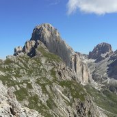
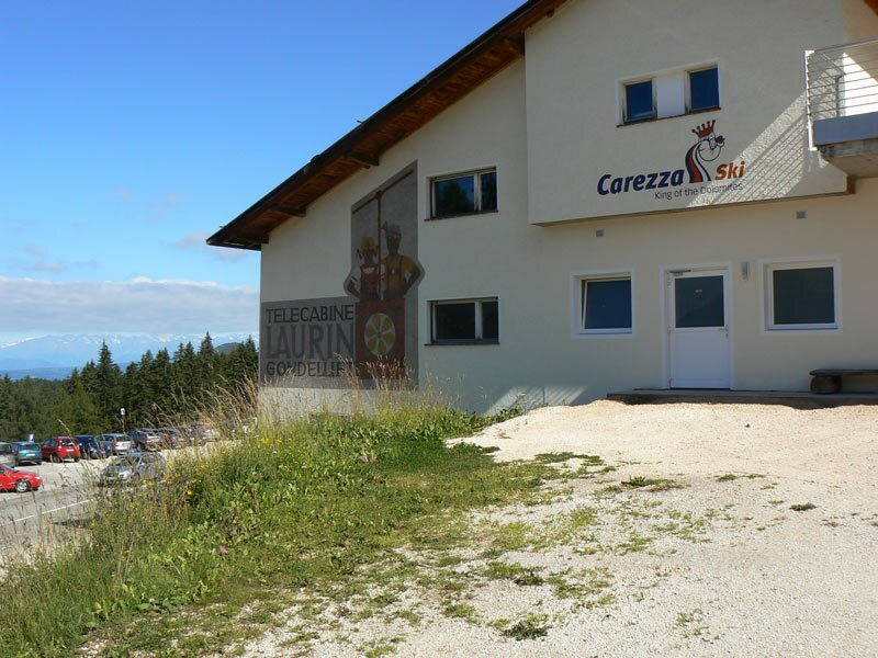
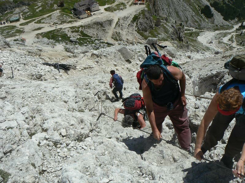
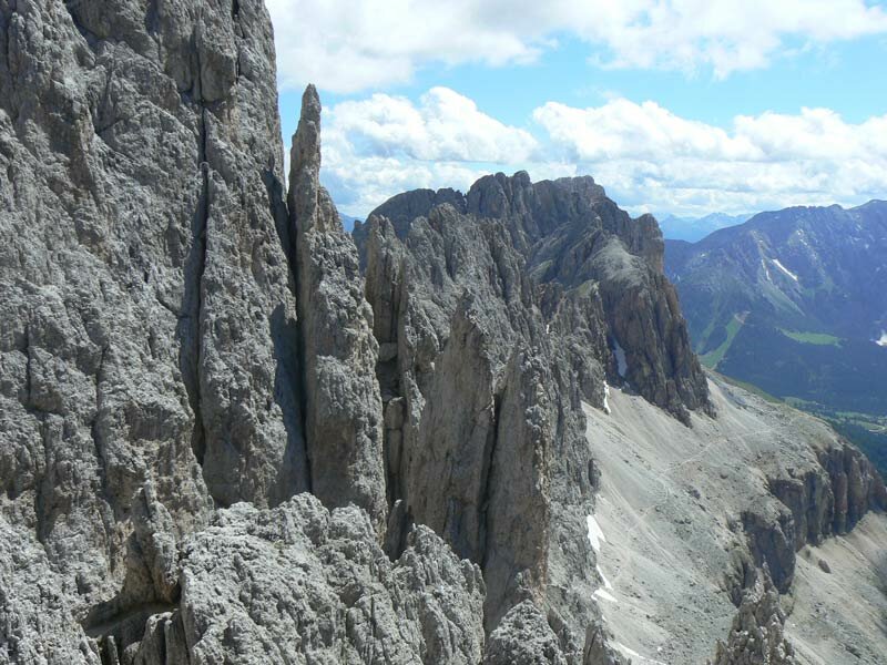
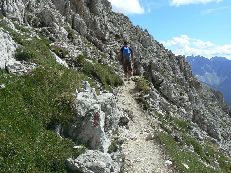
However, the highest point is not yet reached! After our break we continue our walk towards the Passo Santner at 2,734 m a.s.l. The view is amazing, from the Sciliar to the Oetztal Alps, the Ortles and the Latemar mountain range, the mountains in the surroundings catch our sight. In order to reach our starting point we need to do the Via Ferrata Santner, wich is of medium difficulty. The parking space at the Laurin Lift is free of charge and is spacious. If you want to you can do the first stage up to the mountain station also on foot.
Author: ED
-
- Starting point:
- mountain station Laurin Lift, Passo Nigra
-
- Time required:
- 03:35 h
-
- Track length:
- 8,1 km
-
- Altitude:
- from 2.180 m to 2.752 m
-
- Altitude difference:
- +1041 m | -1041 m
-
- Route:
- Rifugio Fronza - Pas de le Coronele - Rifugio Vajolet - Rifugio Re Alberto - Passo Santner - Via Ferrata Santner - Rifugio Fronza
-
- Signposts:
- 550, 541, 542, Via Ferrata Santner
-
- Resting points:
- Rifugio Fronza alle Coronella - Rifugio Vajolet
-
- Recommended time of year:
- Jan Feb Mar Apr May Jun Jul Aug Sep Oct Nov Dec
-
- Download GPX track:
- Mountain tour around the Catinaccio
If you want to do this tour, we suggest you to check the weather and trail conditions in advance and on site before setting out.