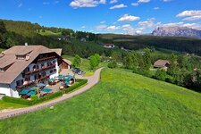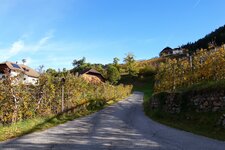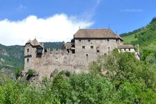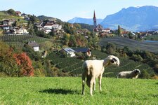
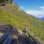
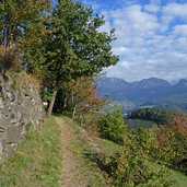
This 12 km long first stage of the Chestnut Trail leads from Roncolo Castle to Auna di Sotto steadily upwards to the Renon High Plateau
Image gallery: Chestnut Trail, stage 1
-
-
Video : Hiking tip: Chestnut Trail
-
D-1594-weg-zur-burg-runkelstein.jpg
-
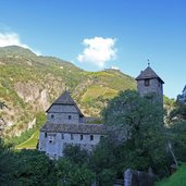
D-1604-schloss-runkelstein-bozen.jpg
-
D-1612-kastanienweg-bozen.jpg
-

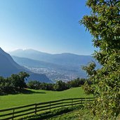
D-1662-blick-auf-bozen-ab-kastanienweg.jpg
-
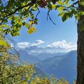
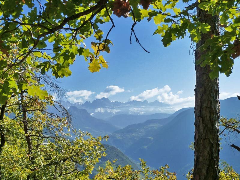
D-1675-blick-auf-rosengarten-kastanienweg.jpg
-
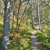
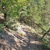
D-1676-waldweg-kastanienweg.jpg
-
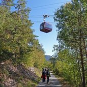
D-1687-seilbahn-ritten-ober-kastanienweg.jpg
-
D-1692-ausblick-bei-jausenstation-ebnicher.jpg
-
D-1709-kastanienweg-nach-signat.jpg
-
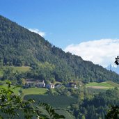
D-1715-signat.jpg
-
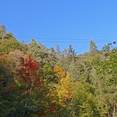
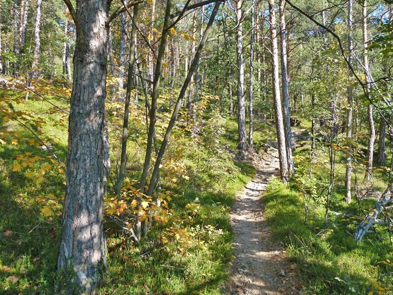
D-1739-herbstwald-am-ritten.jpg
-
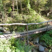
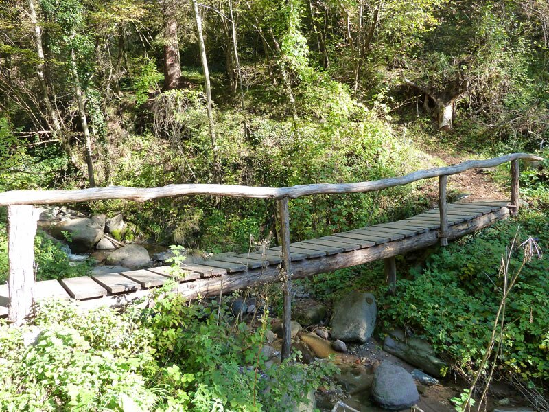
D-1755-bruecke-ueber-katzenbach.jpg
-
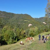
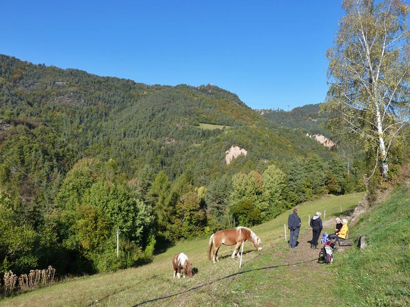
D-1770-haflinger-bei-signat.jpg
-
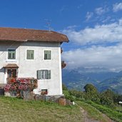
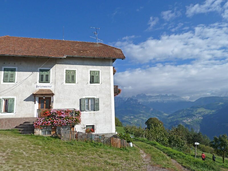
D-1788-partschunerhof-ritten.jpg
-
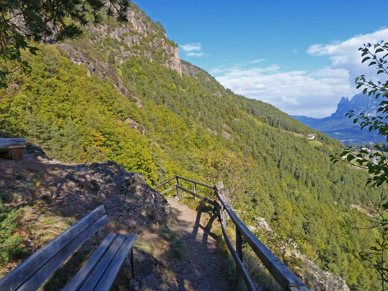
D-1797-abstieg-richtung-unterinn.jpg
-
D-1815-keschtnweg-nach-unterinn.jpg
-
video : The High Plateau of Renon
-
video : Roncolo Castle
-
video : Roncolo Castle in Bolzano as seen from above

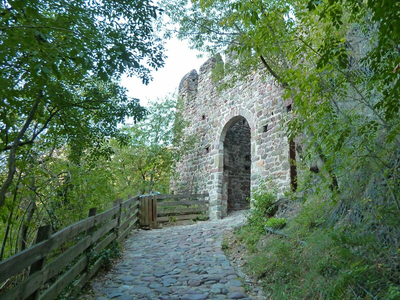
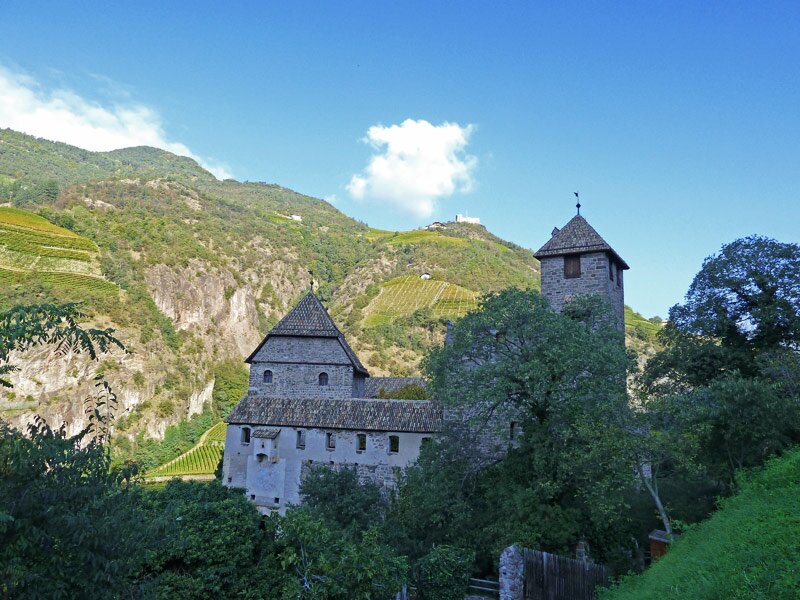
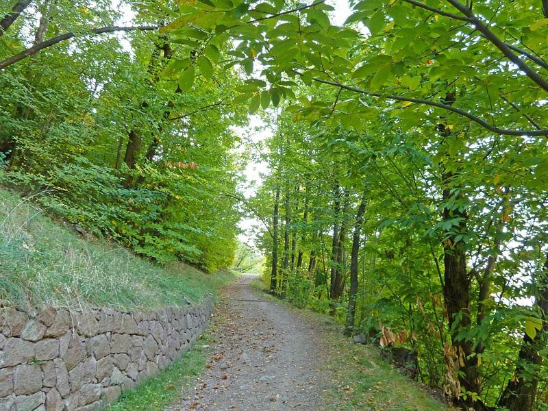
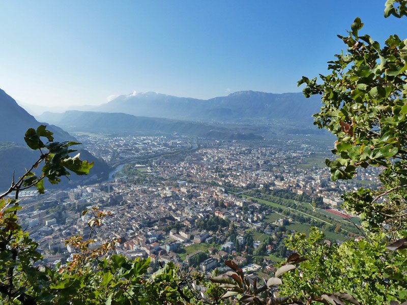
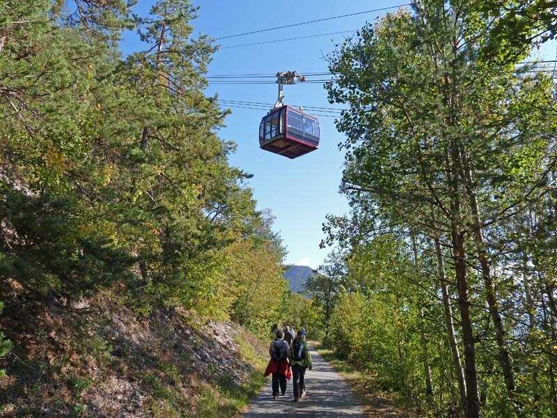
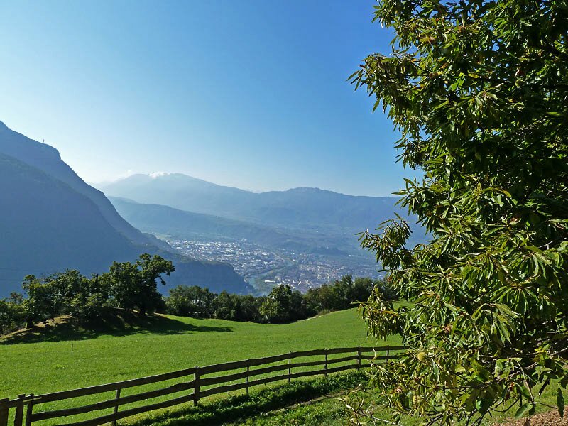
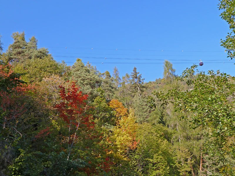
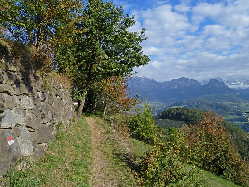


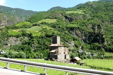
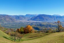
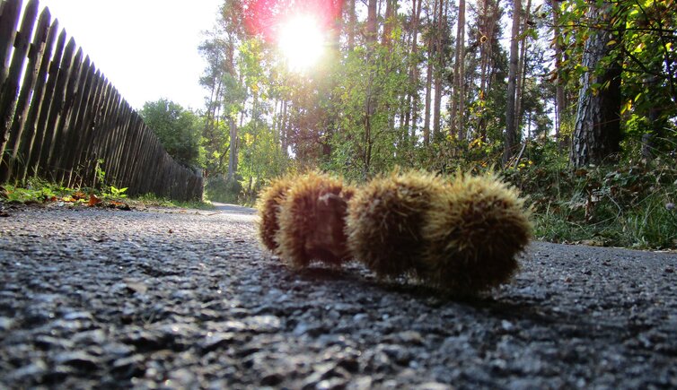
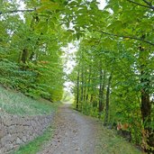
Starting at Roncolo Castle in Bolzano at the entrance of the Val Sarentino valley, we hike upwards towards the Renon Plateau, crossing a deciduous forest and some autumn-coloured vineyards and enjoying beautiful views of Bolzano and its surroundings. After about 90 minutes the trail gets less steep and finally leads onto an asphalted road, which we follow until the Ebnicher tavern.
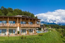
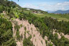
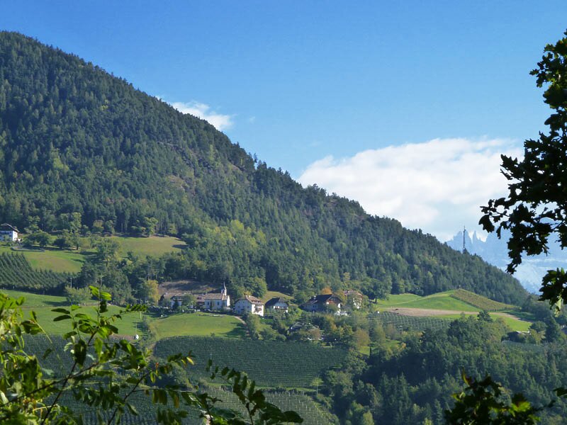
From here, the trail leads up and down through the Katzenbachtal valley, from where we can see the earth pillars, until we reach the hamlet Signato. After about 20 minutes of walking from Signato, we have a short rest at the romantic Törggele farm "Partschunerhof".
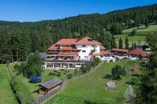
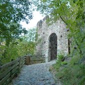
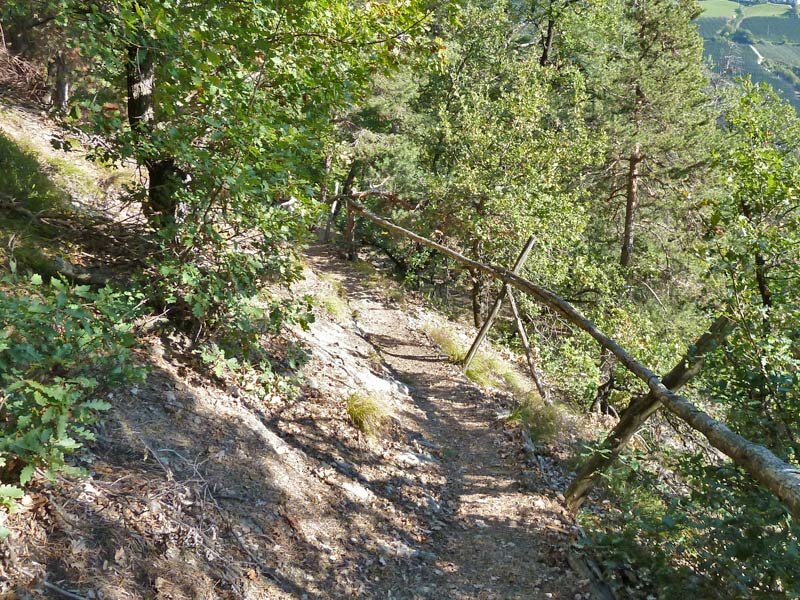
After a short stony section with some steps we pass the small San Sebastiano Church before we finally reach Auna di Sotto after further 45 minutes. From there we take the bus back to Bolzano.
Author: AT
-
- Starting point:
- Roncolo Castle (at the entrance of the Val Sarentino)
-
- Time required:
- 04:30 h
-
- Track length:
- 11,8 km
-
- Altitude:
- from 318 m to 999 m
-
- Altitude difference:
- +911 m | -318 m
-
- Signposts:
- "Keschtnweg“
-
- Destination:
- Auna di Sotto (Renon)
-
- Recommended time of year:
- Jan Feb Mar Apr May Jun Jul Aug Sep Oct Nov Dec
-
- Download GPX track:
- Chestnut Trail, stage 1
If you want to do this hike, we suggest you to check the weather and trail conditions in advance and on site before setting out.