From the village center of Tiso through woods and sunny meadows to the farms Jochhöfe and back on a botanical nature trail
Image gallery: Hike around the Montegraccio at Tiso
-
-
Video : Val di Funes
-
D-IMG_6408-Gratschenberg-Teis.JPG
-
D-IMG_6413-Gratschenberg-Teis.JPG
-
D-IMG_6416-Gratschenberg-Teis.JPG
-
D-IMG_6417-Gratschenberg-Teis.JPG
-
D-IMG_6414-Gratschenberg-Teis.JPG
-
D-IMG_6418-Gratschenberg-Teis.JPG
-
D-IMG_6422-Gratschenberg-Teis.JPG
-
D-IMG_6423-Gratschenberg-Teis.JPG
-
D-IMG_6410-Gratschenberg-Teis.JPG
-
D-IMG_6420-Gratschenberg-Teis.JPG

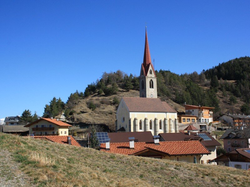
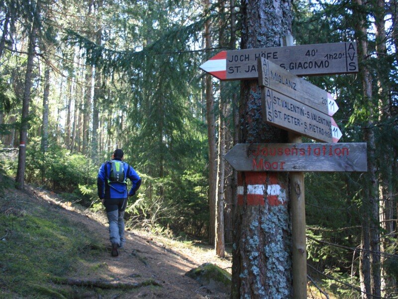
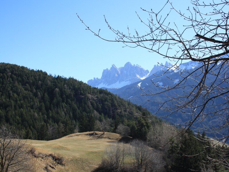
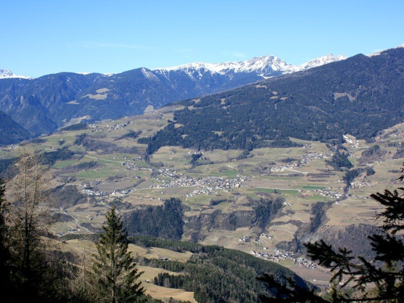
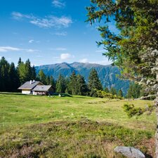
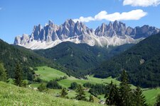
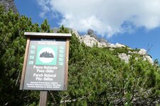
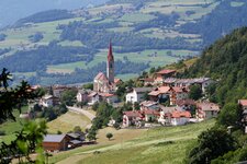
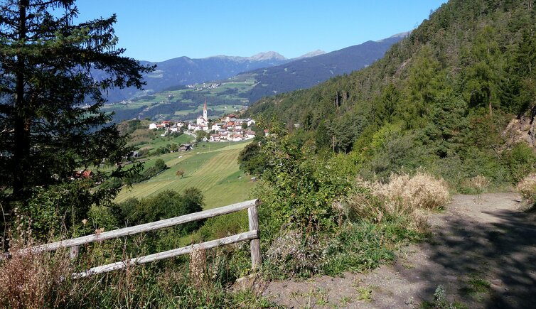
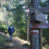
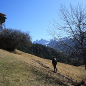
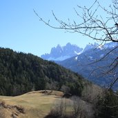
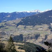
The starting point of our tour is Tiso (Teis), which is located at the entrance of the Val di Funes. We start at the village center, pass the restaurant Stern (Gasthof Stern) and take the hiking trail "Gratschenbergrunde - Giro del Montegraccio". First on an asphalt road which becomes a forest road then (marker no. 11) we walk into the woods. Step by step the path gets steeper and smaller, sometimes we get a sneak peek at the Odle at the head of the valley.
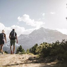
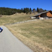
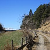
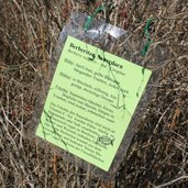
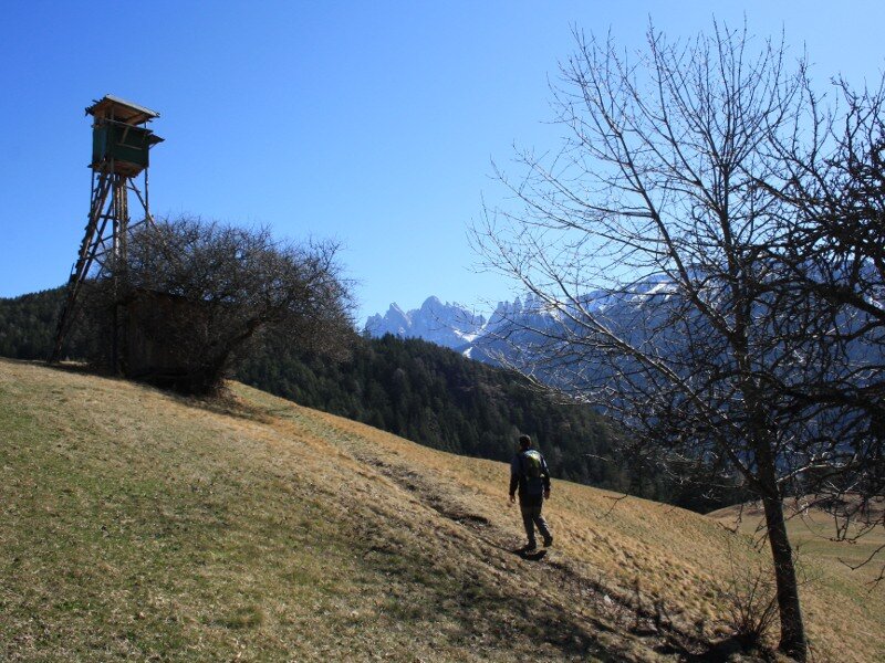
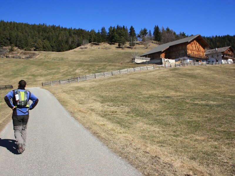
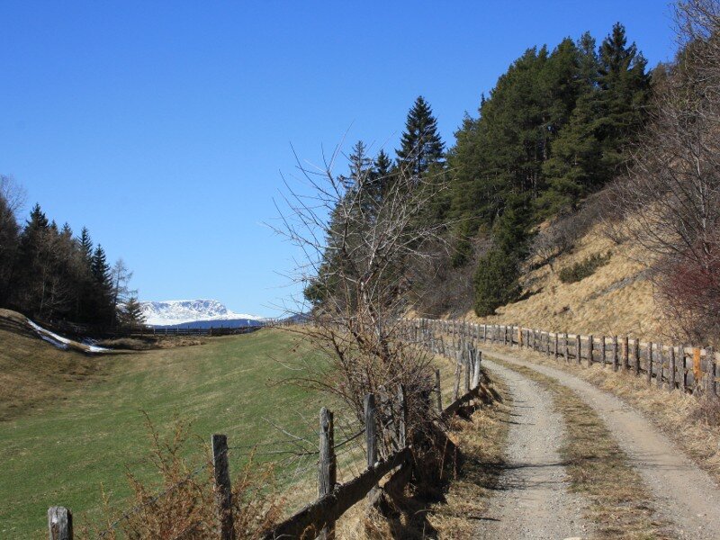
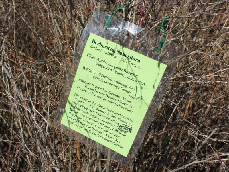
At the turn-off we follow the marker "Jochhöfe" (path no. 12). Now we have done the climbing - we walk further on a wide forest road and enjoy the view to the alpe di Villandro. At the next turn-off we take the path no. 30A which leads us back to Tiso again. First we walk downhill through the woods, then we reach a quite good walkable forest road. For the last distance of our tour we get onto a botanical nature trail which was layed out by the pupils of Tiso.
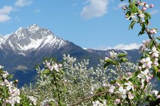
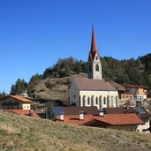
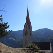
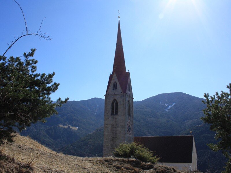
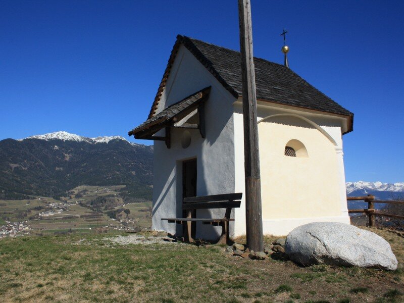
So at the end we learn about the vegetation along the path which we have done. Before we start our way home we take a small trip to the Church of the Holy Sepulchre which is enthroned above the village. A very nice place to enjoy the view to the group of the Odle! Easy walking tour which ideally is done during the summer months because the paths lead through the woods.
Author: BS
-
- Starting point:
- Village center of Tiso
-
- Time required:
- 02:30 h
-
- Track length:
- 6,2 km
-
- Altitude:
- from 954 m to 1.356 m
-
- Altitude difference:
- +402 m | -402 m
-
- Signposts:
- Gratschenberg-Runde, 11, 12, 30A, 7
-
- Resting points:
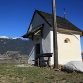
- Moarhof
-
- Recommended time of year:
- Jan Feb Mar Apr May Jun Jul Aug Sep Oct Nov Dec
-
- Download GPX track:
- Hike around the Montegraccio at Tiso
If you want to do this hike, we suggest you to check the weather and trail conditions in advance and on site before setting out.