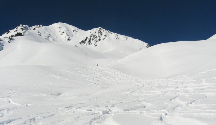
The ski tour on the Monte Alto (2,593 m a.s.l.) is an easy and highly popular tour in the beauitful Val Casies valley
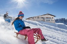
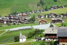
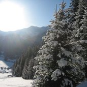
Image gallery: Ski tour to the Mount Alto
-
-
D-HoherMann-IMG_2544.JPG
-
D-HoherMann-IMG_2545.JPG
-
D-HoherMann-IMG_2546.JPG
-
D-HoherMann-IMG_2547.JPG
-
D-HoherMann-IMG_2548.JPG
-
D-HoherMann-IMG_2551.JPG
-
D-HoherMann-IMG_2554.JPG
-
D-HoherMann-IMG_2557.JPG
-
D-HoherMann-IMG_2559.JPG
-
D-HoherMann-IMG_2566.JPG
-
D-HoherMann-IMG_2572.JPG
-
D-HoherMann-IMG_2575.JPG
-
D-HoherMann-IMG_2579.JPG
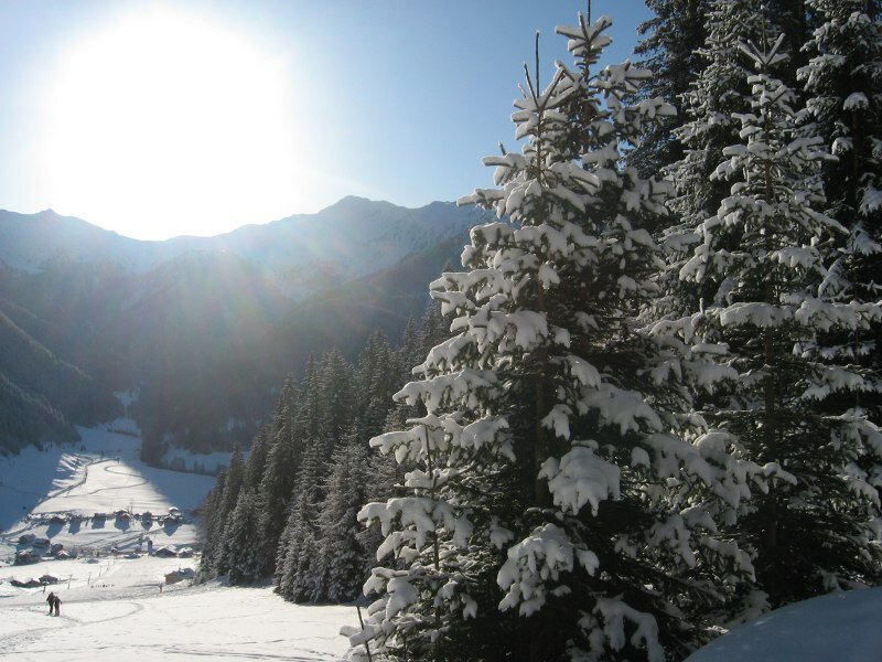

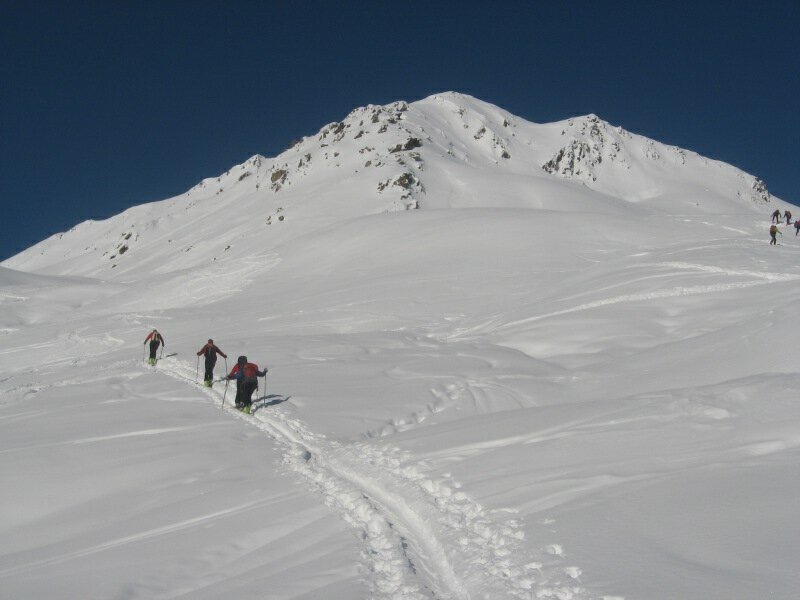
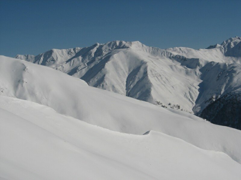
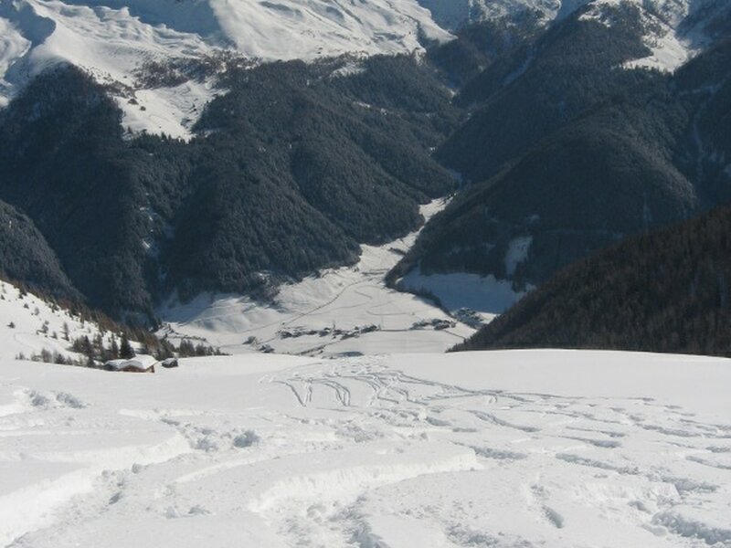
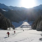
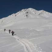
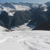
The starting point for this ski tour is Santa Maddalena in Casies (St. Magdalena in Gsies), at the parking space of the ski lift near the Fondovalle Mountain Hut (Talschlusshütte) the head of the valley. First we walk up on the edge of the ski slope. A glimpse back makes us admire the idyllic mountain scenery at the head of the Val Casies. At the end of the ski slope we take the forested path on the left (no. 10) the course of which is followed across the forest.
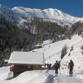
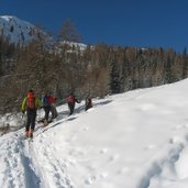
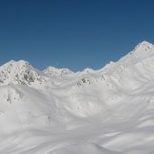
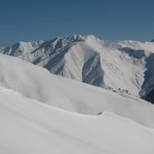
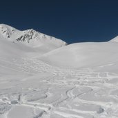
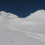
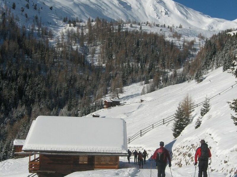
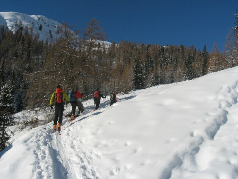
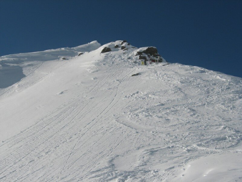
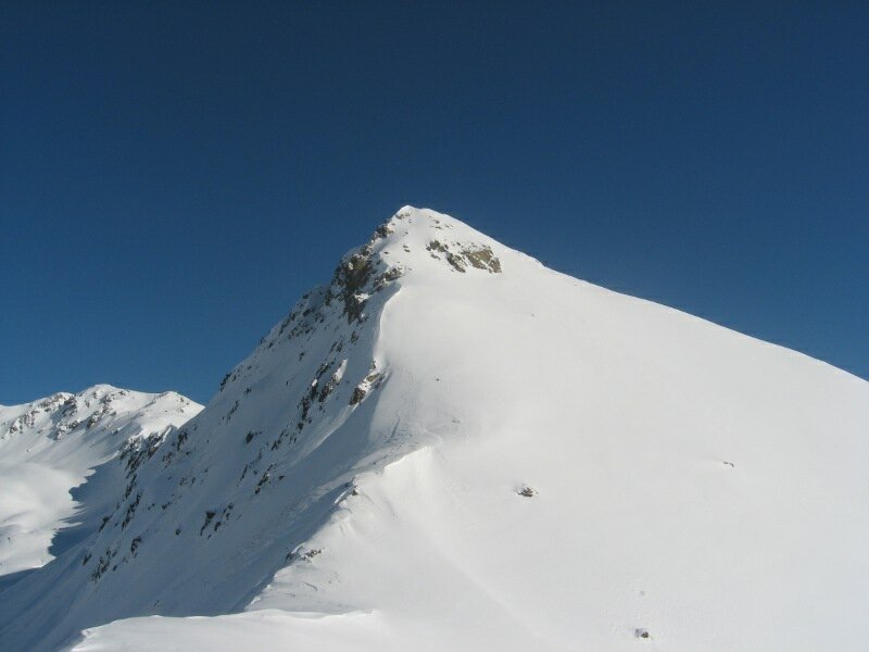
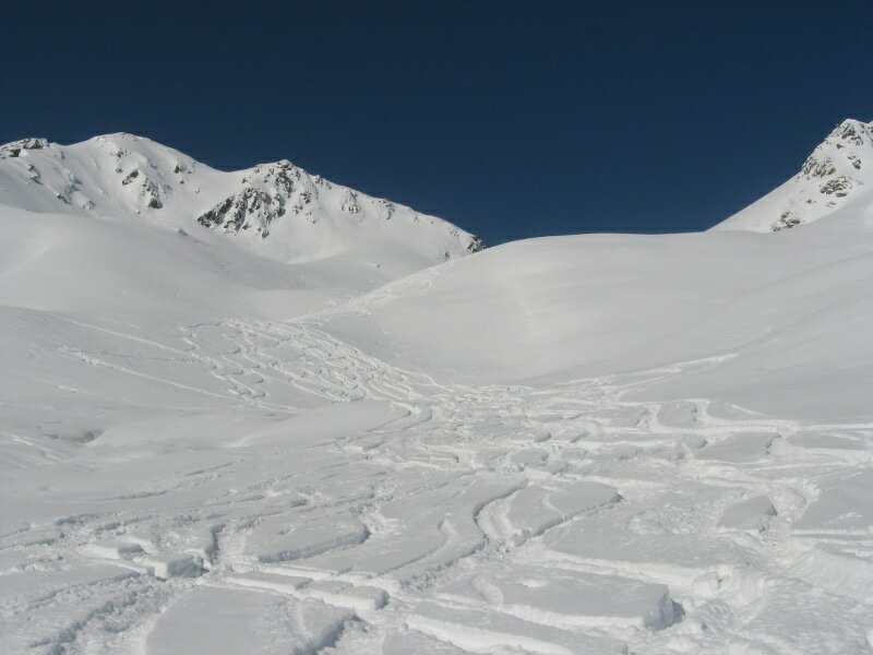
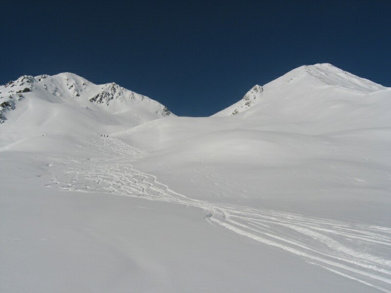
We traverse the river, soon after we reach the Ascht Mountain Hut (Aschtalm), where we pass by, heading for another mountain hut farther up. From this place we continue in the open country, towards the Pfinn Mountain Huts (Pfinnalmen, 2,152 m a.s.l.). This is where great slopes for skiing come to light. Also the ridge between Mt. Alto (Hoher Mann) and its smaller brother is visible. The slopes are moderately steep, only the last steps underneath the ridge are steeper.
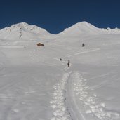
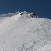
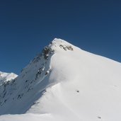
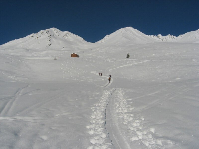
On foot we proceed to the highest point. The ridge is only for people who are sure-footed and free from giddiness and the highest point provides a great view. This tour is not very difficult and also highly frequented. The forested trail is also one of the toboggan runs of the Val Pusteria valley, be cautious. Easy but varied ski tour on beautiful and moderately steep slopes in the upper part.
Author: BS
-
- Starting point:
- Fondovalle Mountain Hut, Santa Maddalena in Casies
-
- Time required:
- 03:00 h
-
- Track length:
- 4,9 km
-
- Altitude:
- from 1.467 m to 2.584 m
-
- Altitude difference:
- +1117 m | -0 m
-
- Route:
- Orientation of the slopes: E
-
- Destination:
- Mount Alto
-
- Resting points:
- Ascht Mountain Hut
-
- Recommended time of year:
- Jan Feb Mar Apr May Jun Jul Aug Sep Oct Nov Dec
-
- Download GPX track:
- Ski tour to the Mount Alto
-
- More information:
- Time required and track length refer to the ascent
We suggest you to check the weather conditions in advance and on site before setting out. Don’t forget to check the current avalanche forecast!