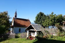
Earth Pyramids, Valle di Vila, and Vedrette di Ries-Aurina Nature Park: In Perca, nature sets the tone


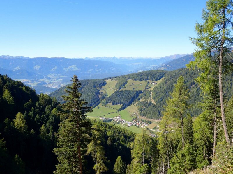

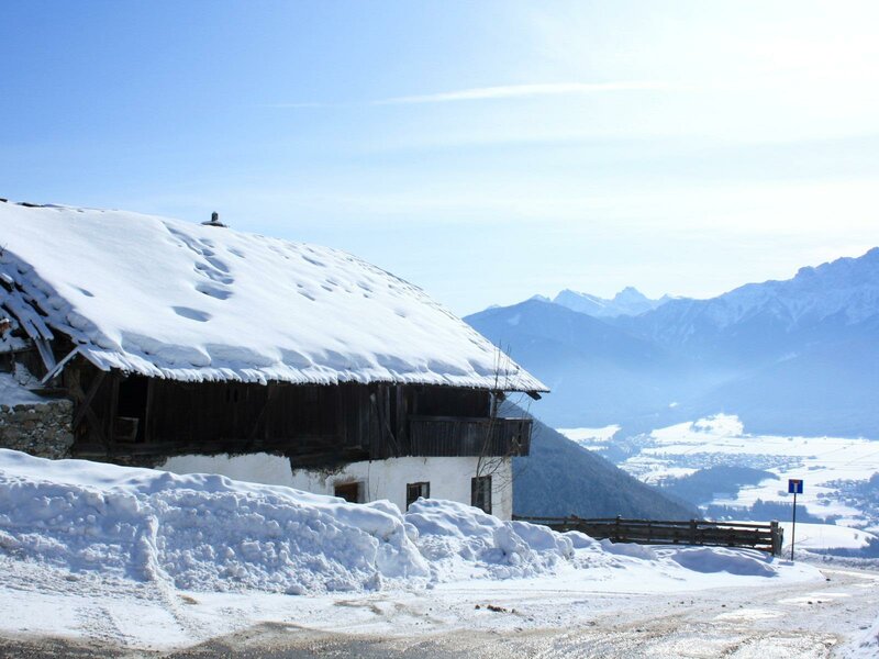
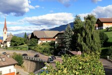
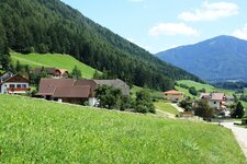
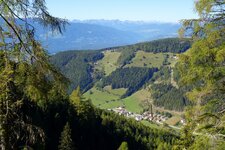
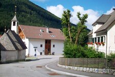
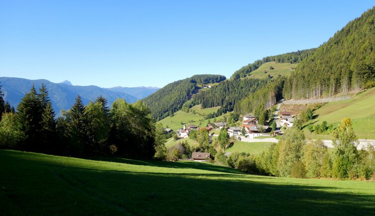
An impressive 2,200-metre difference in altitude lies between the lowest and highest points of the municipality of Perca: The area stretches from the green floodplains of the Rienza River to the peaks of the mighty Rieserferner Group. In between, the hamlets of Sopranessano, Rio Liccio, and Montevila are scattered across the slopes, while Nessano and the main village, Perca, lie in the valley basin along the Val Pusteria road.
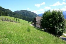
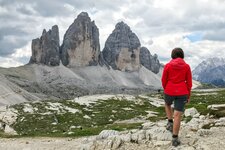
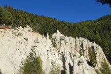
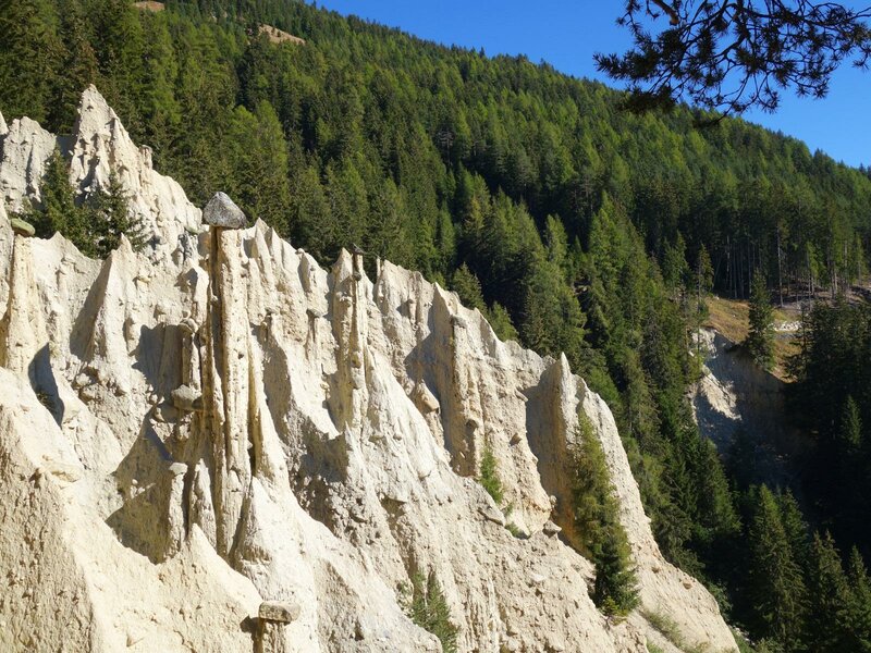
Somewhat set apart are Vila di Sotto and Vila di Sopra in the Valle di Vila valley. A little further up lies the hamlet of Plata, known for its hiking trails and the famous Earth Pyramids. These pillars of loamy sand, each protected by a capstone, tell a story of formation that is thousands of years old.
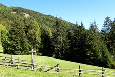
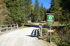
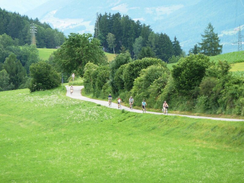
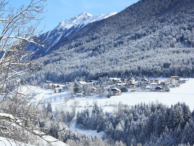
They are constantly changing due to erosion. You have a good view of them from the viewing platform, which can be reached from Plata on a hike of about 45 minutes. Popular mountain hiking destinations include the Valle di Vila, also known as the "Talile" (small valley), in the Vedrette di Ries-Aurina Nature Park, Mt. Montone, the Monte Nalle, and the Gönner Mountain Hut just below the 2,000-metre mark.
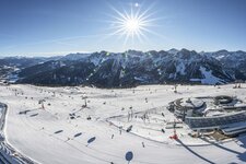
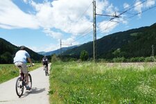
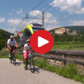
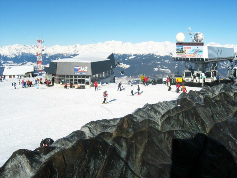
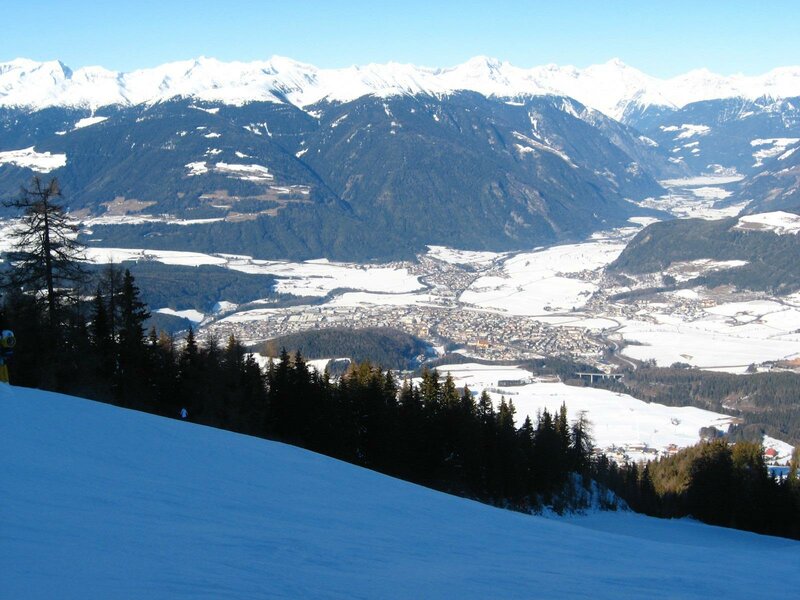
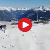
A stop at this hut can be easily combined with a visit to the Plata Earth Pyramids. In the valley, the Pusterbike Cycle Path winds its way past Perca towards Valdaora and Dobbiaco, while in the opposite direction, you can reach Teodone on foot or by bus, home to the South Tyrolean Folklore Museum. In winter, the Ried Cable Car takes you from Perca up to the Plan de Corones Skiing Area, part of the Dolomiti Superski network, which includes the legendary Sellaronda.
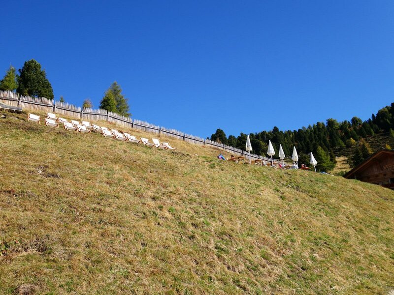
The lift station is located right next to the train station to promote sustainable mobility. Up there, on the local mountain of Brunico, 120 kilometres of pistes await skiers and snowboarders. Another winter adventure is a toboggan run at the Lercher Mountain Hut near the Earth Pyramids. Whether in summer or winter - in Perca, you are always very close to nature.