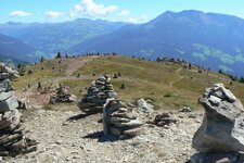
Earth Pyramids and “Stone Men” amidst mountain pastures on the Monzoccolo plateau


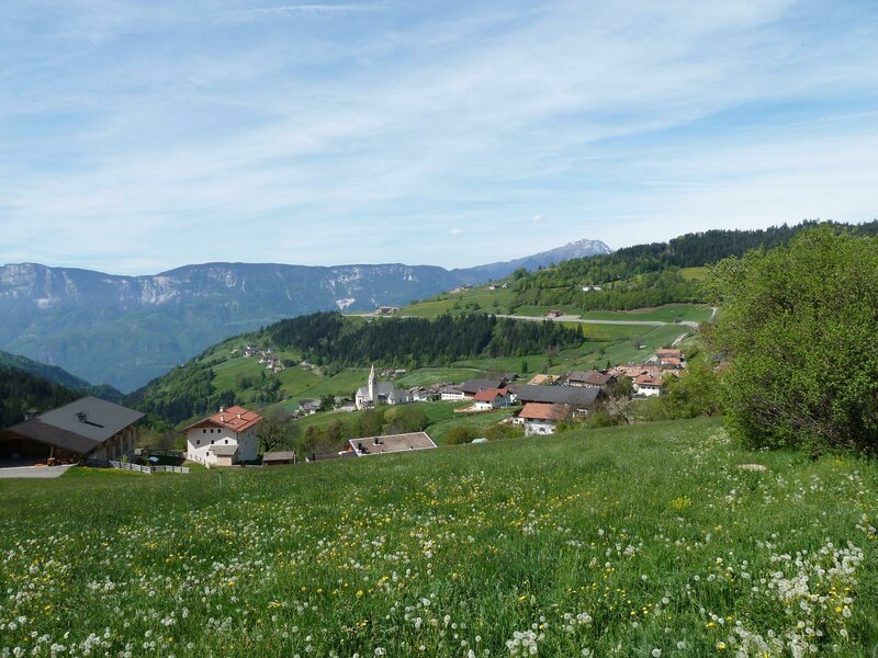
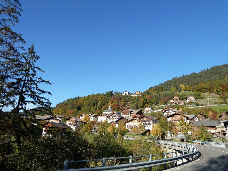
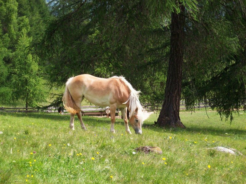
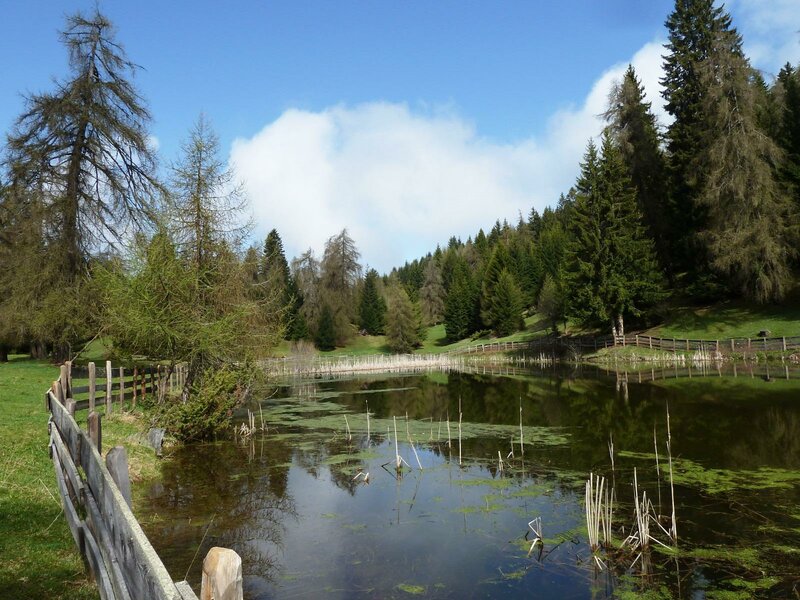

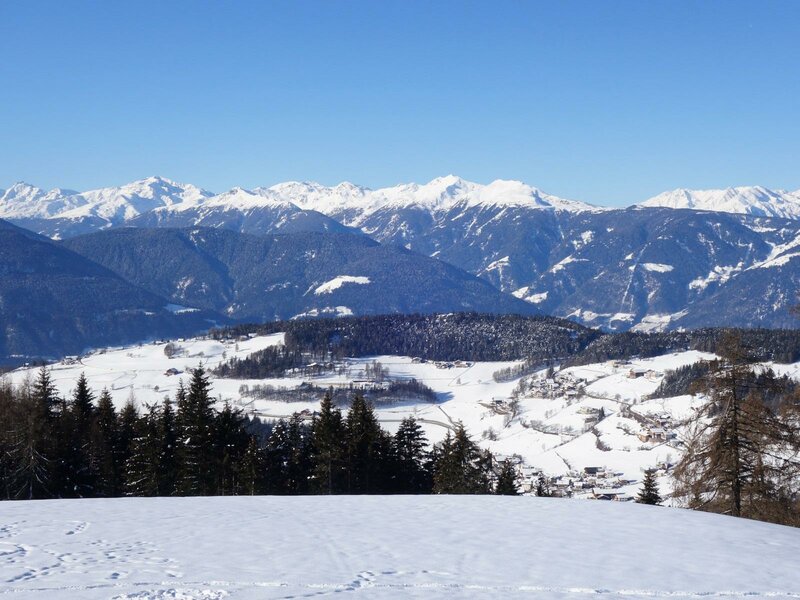


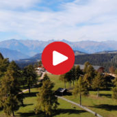
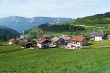
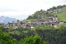
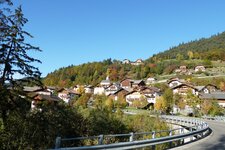
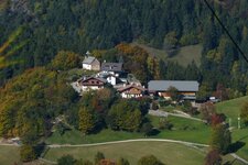
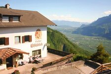
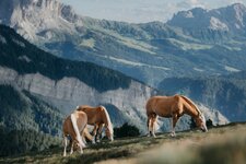
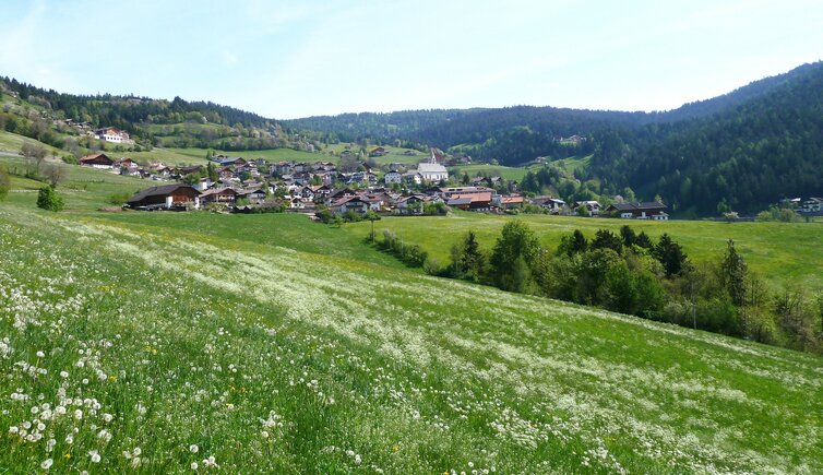
The Monzoccolo, the Renon, and the Siusi Alp - South Tyrol's high plateaus offer relaxation amidst the mountains. Meltina is one such charming location. The municipality lies on the Monzoccolo, the mountain ridge between Bolzano and Merano, known for its larch forests and Haflinger horses.
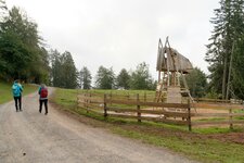
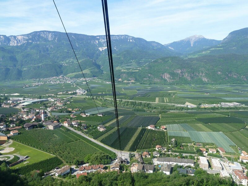
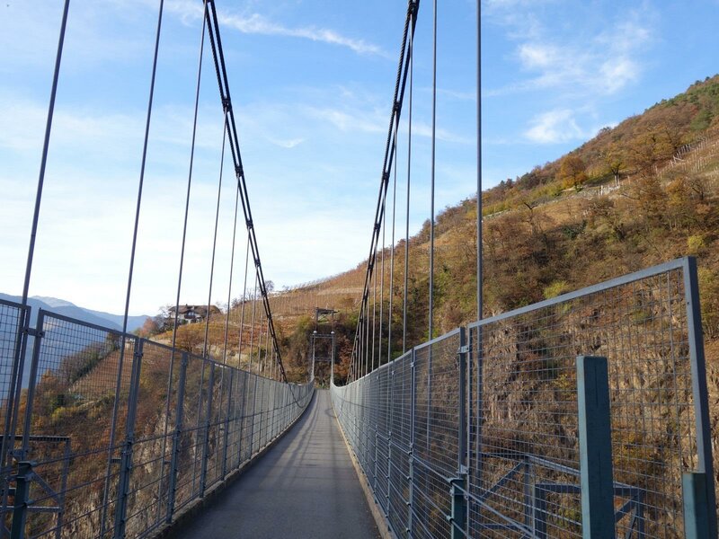
Meltina is easily accessible from the valley: A cable car connects Vilpiano with the main village, and a panoramic road leads up from Terlano on the South Tyrolean Wine Road. All the villages are also well-connected by public bus routes.
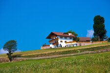
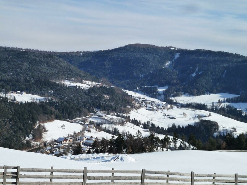
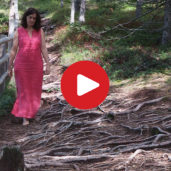
Meltina extends from the main village to the hamlets of Salonetto, Frassineto, and Vallesina, nestled in the greenery. The highest point in the municipality is the Monte Risco mountain on the border with the Val Sarentino valley, a popular hiking destination. There you will find the "Stone Men" - hundreds of cairns of unknown origin, which can also be seen in other parts of South Tyrol.
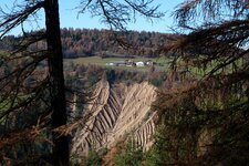
It is believed that the area served as a place of witch cults in the Middle Ages, while ancient carvings on the stones point to the Celts. Another remarkable natural phenomenon is the Meltina Earth Pyramids. These earth pillars rise up to 30 metres above the Rio Meltina stream. Their capstones protect them from rain and storms, and thus from erosion.
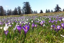
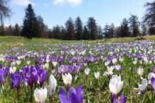
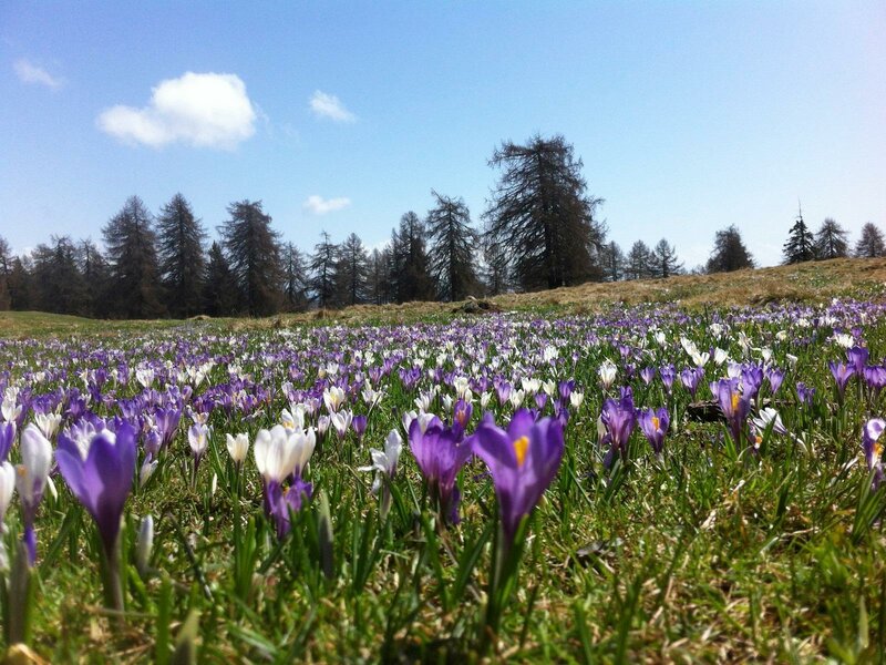
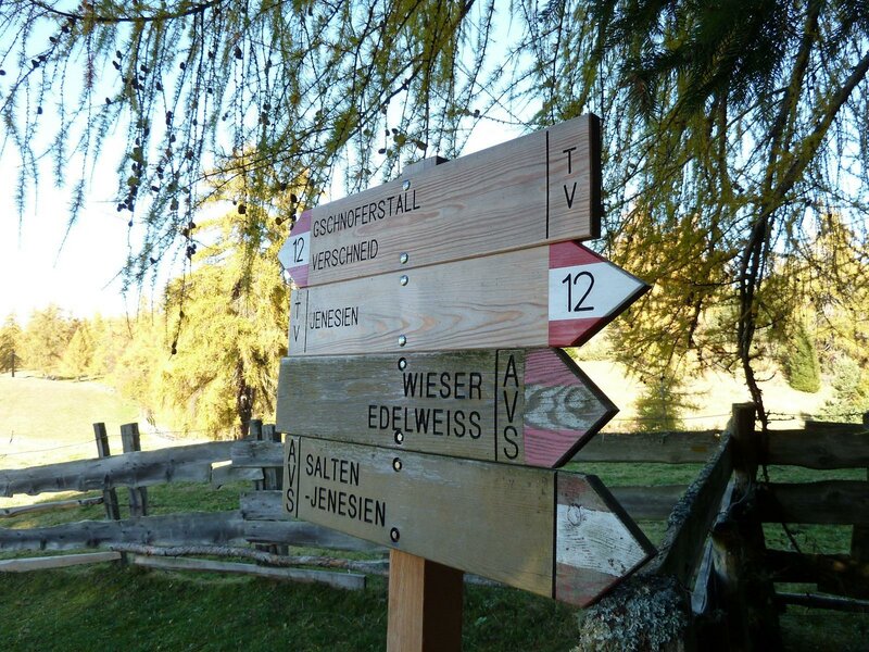
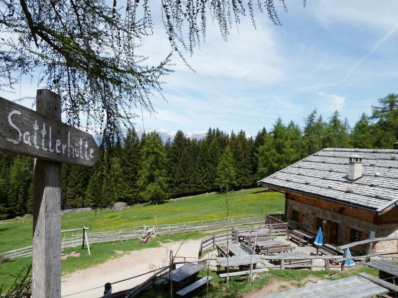
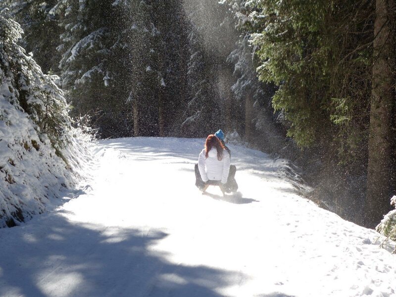
Numerous hiking trails weave between the Earth Pyramids. In spring, the crocus blossom at the Giogo di Meltina enchants visitors, in summer the Tschaufen Theme Trail, and in autumn the Meltina Mountain Hut. In the cold season, the trails invite you to enjoy hiking and snowshoeing.