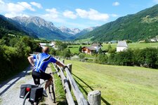
The Passo dello Stelvio is one of the most spectacular Alpine passes, also for cyclists: Here we want to present the ideal tour
Image gallery: Bike tour Stelvio Pass and Giogo di Santa Maria
-
-
Video : Tour per ciclisti esperti - Stelvio
-
D-3505-glurns-von-tartsch-aus-gesehen.jpg
-
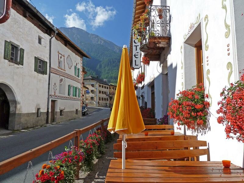
D-8210-muestair-ch.jpg
-
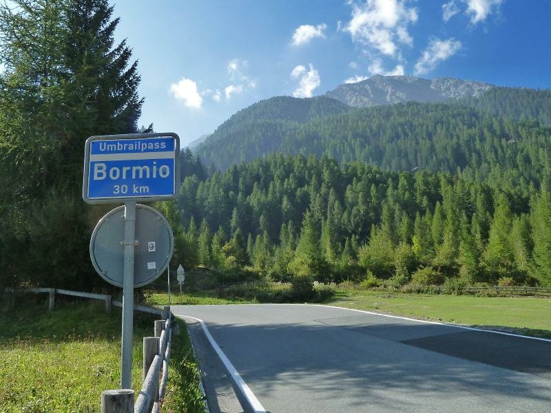
D-8224-santa-maria-val-muestair-ch-bei-abzweigung-umbrail.jpg
-
D-8236-umbrail-pass-strasse-bei-santa-maria-val-muestair-ch.jpg
-
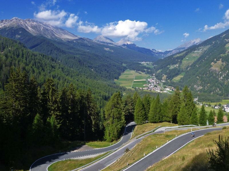
D-8271-umbrail-pass-strasse-bei-santa-maria-val-muestair-ch-kehren.jpg
-
D-8308-umbrailpass-strasse-kehren-motorrad-mini-cabrio.jpg
-
D-8324-umbrailpass-strasse-richtung-muenstertal.jpg
-
D-8349-umbrail-pass-strasse-blick-richtung-stilfserjoch.jpg
-
D-8353-umbrailpass-passo-umbrail-dogana-zoll-schweizer-grenze.jpg
-
D-8374-stilfser-joch-strasse-oberhalb-von-bormio-abzweigung-umbrail-strasse-radfahrer.jpg
-
D-8402-stilfserjoch-strasse-strada-dello-stelvio-lato-bormio.jpg
-
D-8412-bormio-stilfserjoch-ortsschild-fahrrad.jpg
-
D-8436-stilfserjoch-tibet-huette-dahinter-ortler-gletscher.jpg
-
1436280139D-8441-stilfserjoch-strasse-abfahrt-suedtirol-kehren.jpg
-
D-8472-stilfserjoch-strasse-kehren.jpg
-
D-8495-ortler-aussicht-ab-franzenhoehe-stilfserhoch-strasse.jpg
-
D-8513-trafoi.jpg
-
1436280139D-8539-stilfs-stilfser-bruecke.jpg
-
D-8544-radfahrer-richtung-stilfser-joch-bei-prad.jpg
-
video : MTB on the Ortles war front
-
video : Sunrise over the Stelvio Pass

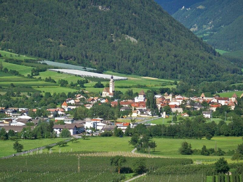

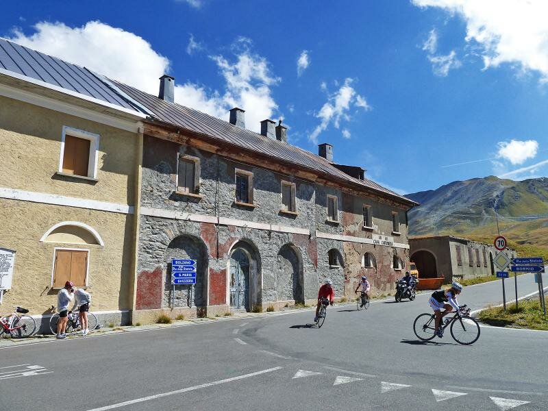
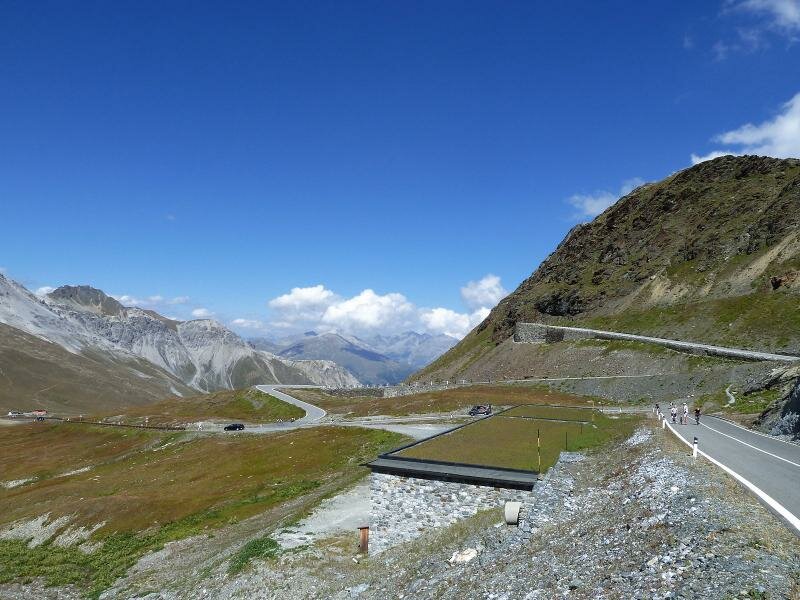
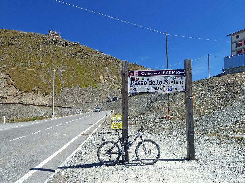
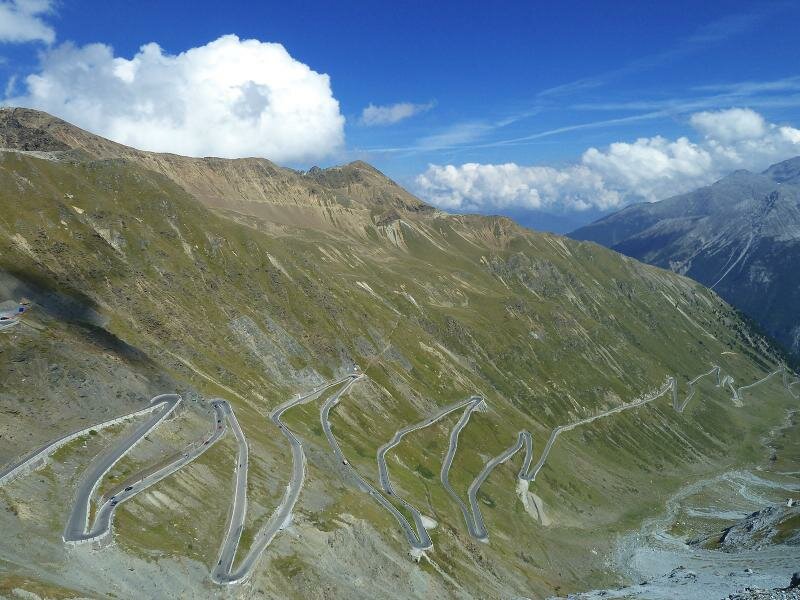

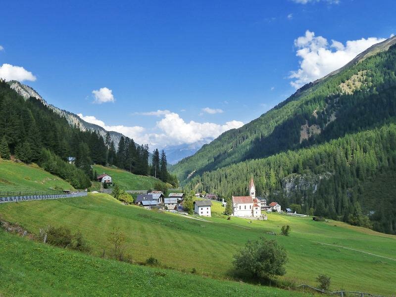
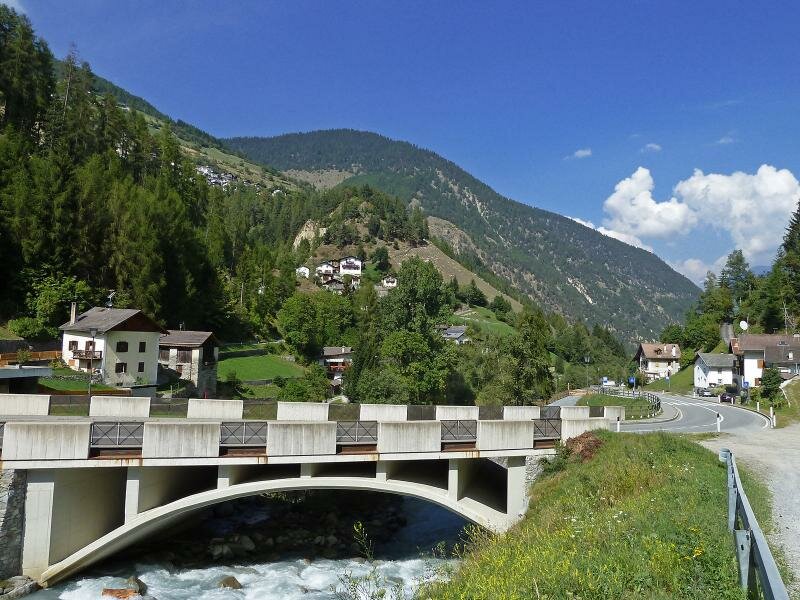


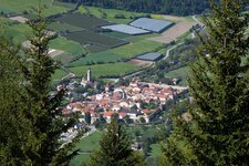
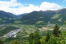
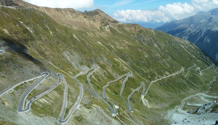
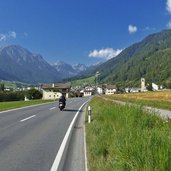
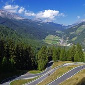
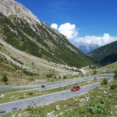
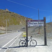
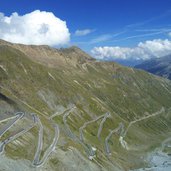
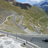
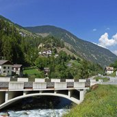
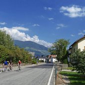
2,758 m a.s.l., the second-highest for road vehicles accessible Alpine pass, this is the Passo dello Stelvio with its 48 curves and hairpin bends. Combined with the neighbouring Giogo di Santa Maria or Umbrail Pass, a beautiful circular tour can be done, which we want to present you in this article. Our starting point is the little town of Glorenza in Val Venosta, located at 900 m a.s.l. We cycle on the SS 41 road towards Tubre (1,250 m a.s.l.) and cross the Swiss border towards Müstair.
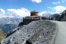
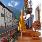
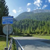
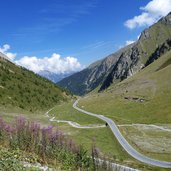
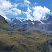
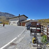
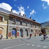
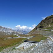
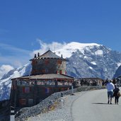
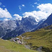
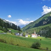
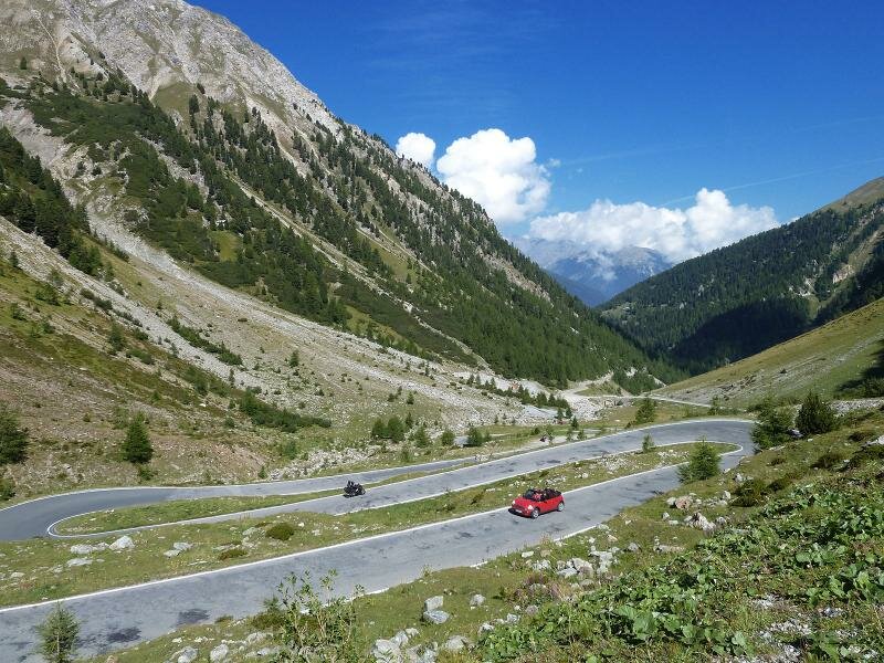
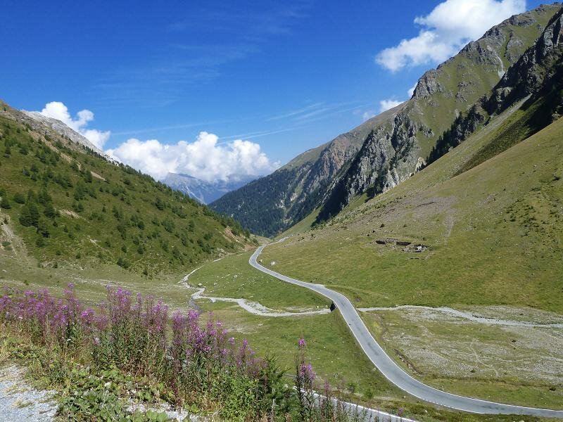
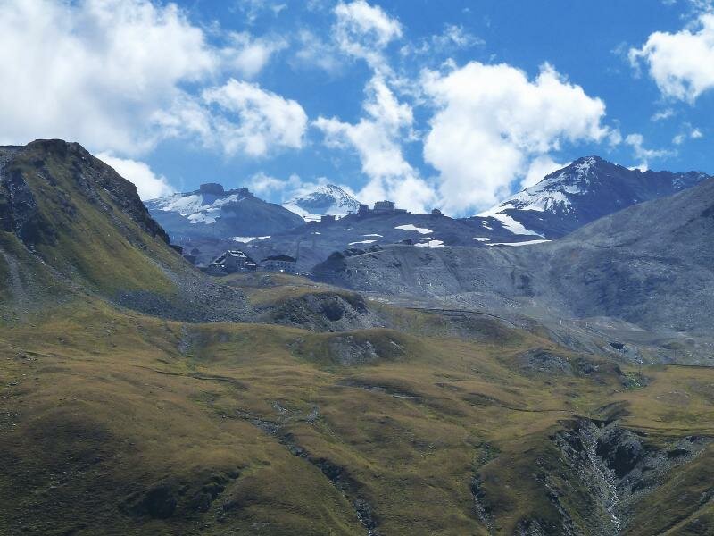
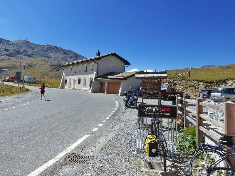
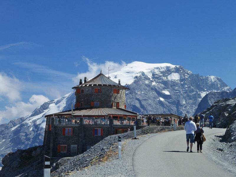
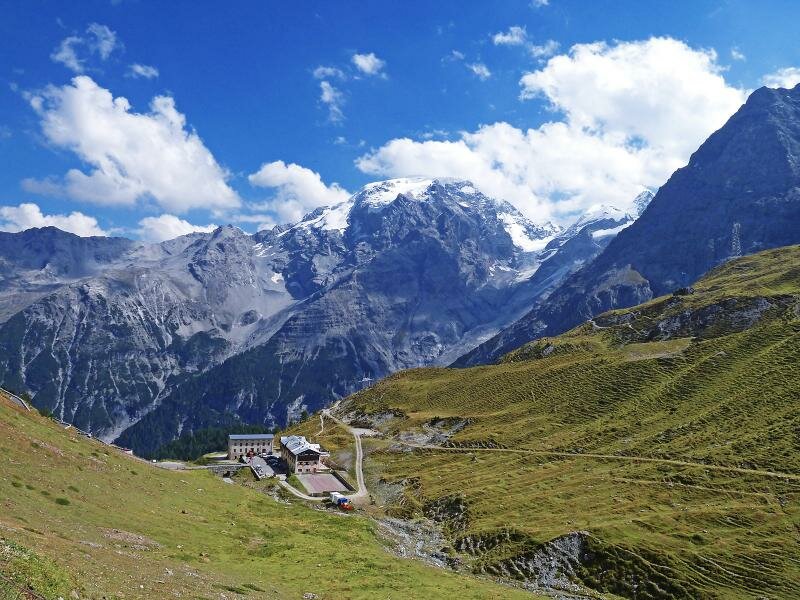
In the following village of Santa Maria (1,370 m a.s.l.) the junction to the Giogo di Santa Maria (Bormio) branches off on the left. A gruff ascent to the Alpenrose Plattatschas restaurant (1,800 m a.s.l.) awaits us and then further on through the Umbrail Valley (with a not asphalted but well-traced out section of about 1.5 km). Advantage of this ascent route is the low traffic, only few cars and motorbikes disturb the quiet of the impressive high alpine landscape. On the Giogo di Santa Maria we cross the border to Italy (Lombardy) - shortly afterwards the road leads to the SS 38 (Strada statale dello Stelvio). Another 260 m in altitude have to be managed, then we have reached the top. In order to have a good view on the road, King Ortles and the valley, the short side trip to the Tibet Mountain Hut at 2,800 m a.s.l. pays. The downhill run is pure cycling fun!
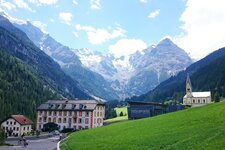
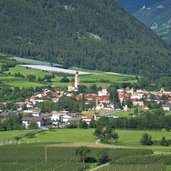
Bend after bend we cycle downhill along the famous mountain pass road, past the Franzenhöhe tavern and the timberline, pass the village of Trafoi and cycle towards Prato allo Stelvio. Here we turn left into the road to Glorenza and 20 minutes later, our circular cycle tour is finished. Please note: Don't forget your ID for possible border controls in Switzerland! The tour is also possible in the opposite direction but less recommendable due to more traffic while the demanding ascent.
Author: AT
-
- Starting point:
- Glorenza (or any other place along the route)
-
- Time required:
- 04:45 h
-
- Track length:
- 62,9 km
-
- Altitude:
- from 888 m to 2.759 m
-
- Altitude difference:
- +2036 m | -2036 m
-
- Route:
- Glorenza - Tubre in Val Monastero - Müstair - Santa Maria - Giogo di Santa Maria - Passo dello Stelvio - Trafoi - Prato allo Stelvio - Glorenza
-
- Track surface:
- asphalt, short section on gravel in the Valle dell‘Umbrail (still suitable for road bikes)
-
- Recommended time of year:
- Jan Feb Mar Apr May Jun Jul Aug Sep Oct Nov Dec
-
- Download GPX track:
- Bike tour Stelvio Pass and Giogo di Santa Maria
If you want to do this tour, we suggest you to check the weather and trail conditions in advance and on site before setting out.