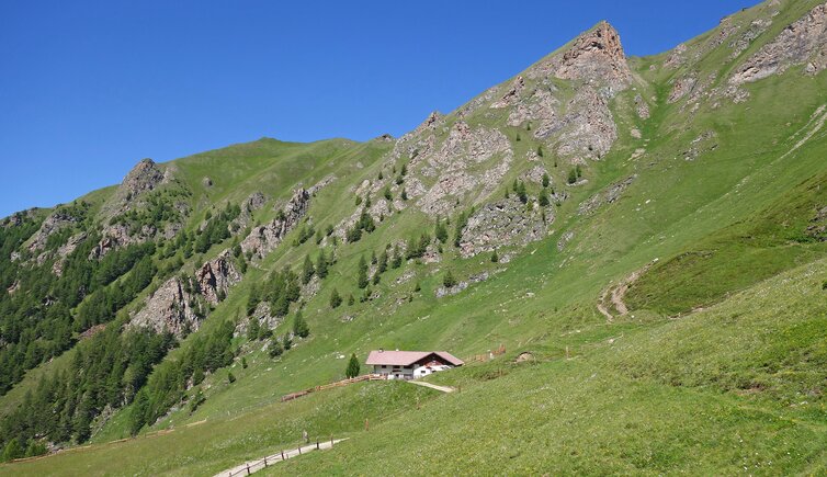
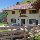
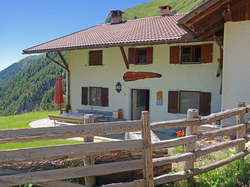
The Malga Simile-Mahd is situated at about 2,000 m a.s.l. above the idyllic Val di Senghes valley - it can be reached from Campo di Trens
Image gallery: MTB tour to the Simile-Mahd Mountain Hut
-
-
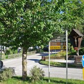
D-1985-freienfeld-abzweigung.jpg
-
D-2000-freienfeld-weg-nach-valgenaeun.jpg
-
D-2009-valgenaeun-mit-st-valentin-kirche-bei-freienfeld.jpg
-
D-2026-freienfeld-strasse-nach-niederflans-2.jpg
-
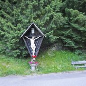
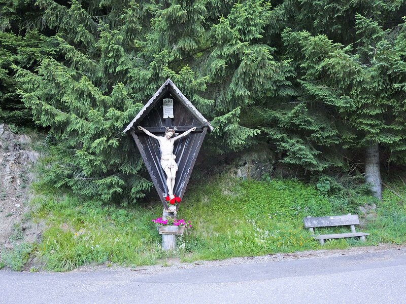
D-2030-kreuz-an-strasse-nach-niederflans.jpg
-
D-2042-freienfeld-strasse-nach-niederflans-fr1.jpg
-
D-2048-freienfeld-wiesen-bei-niederflans-fr1.jpg
-
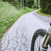
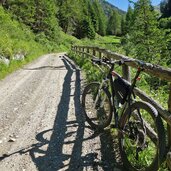
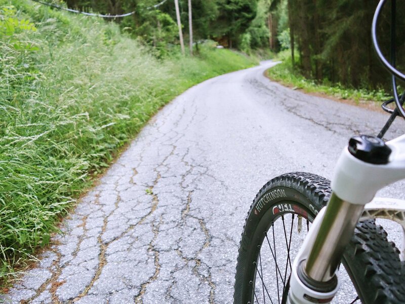
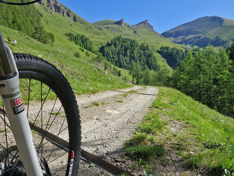
D-2065-mtb-auf-forststrasse-zu-simile-mahd-alm-bei-niederflans.jpg
-
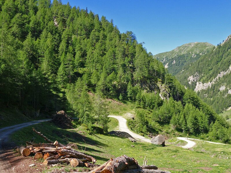
D-2076-forststrasse-zu-simile-mahd-alm-bei-niederflans.jpg
-
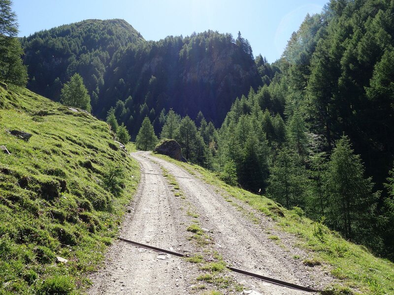
D-2082-sengestal-forstweg-zu-simile-mahd-alm.jpg
-
D-2091-mtb-durch-sengestal-forstweg.jpg
-
D-2099-mtb-durch-sengestal-forstweg.jpg
-
D-2131-sengestal-forstweg.jpg
-
D-2156-mountain-bike-forstweg-bei-sengesalmen.jpg
-
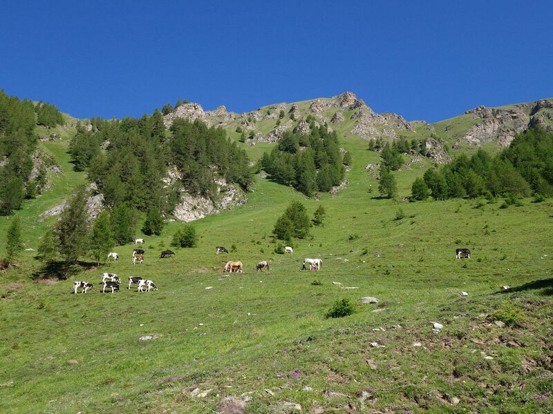
D-2163-weide-bei-sengesalmen-pferde-und-kuehe.jpg
-
D-2178-almstrasse-oberes-sengestal.jpg
-
D-2207-kurven-almweg-oberes-sengestal.jpg
-
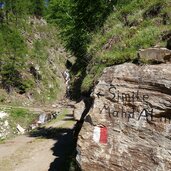
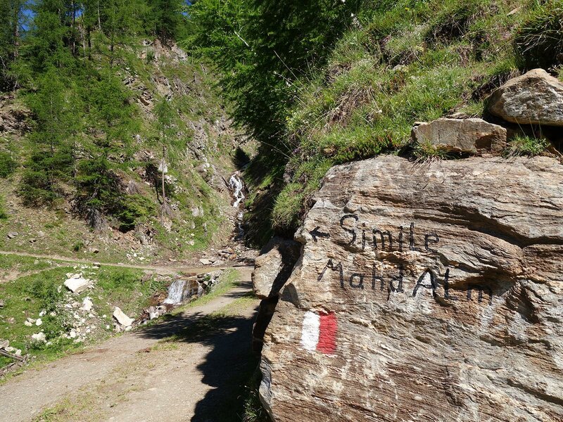
D-2213-markierung-simile-mahd-alm.jpg
-
D-2221-almstrasse-bei-simile-mahd-alm.jpg
-
D-2239-almstrasse-bei-simile-mahd-alm.jpg
-
D-2262-almwiesen-simile-mahd-alm.jpg
-
D-2833-simile-mahd-alm.jpg
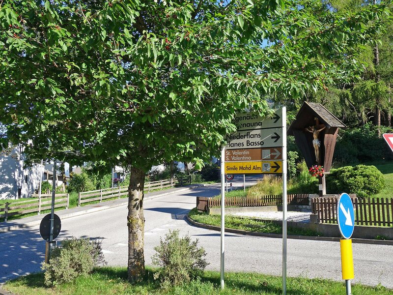
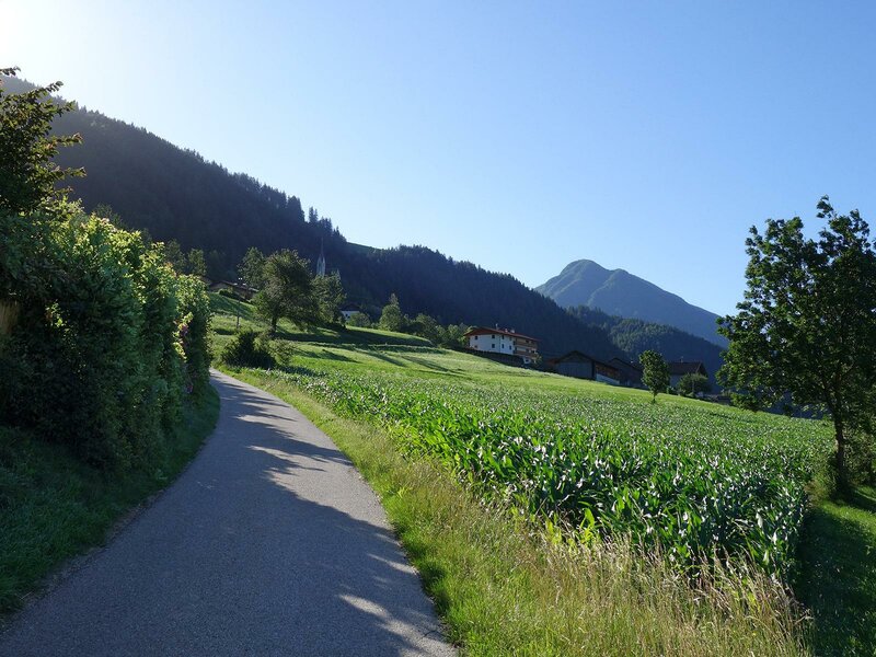
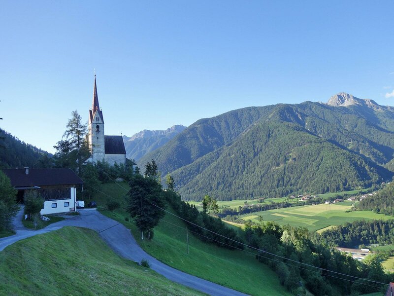
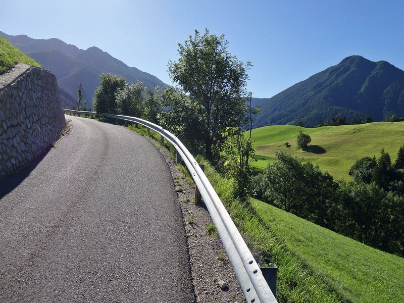
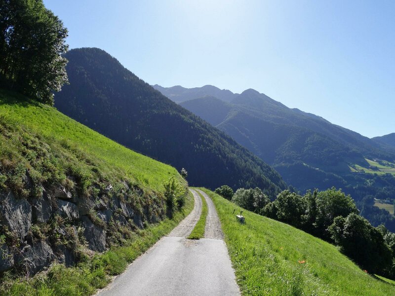
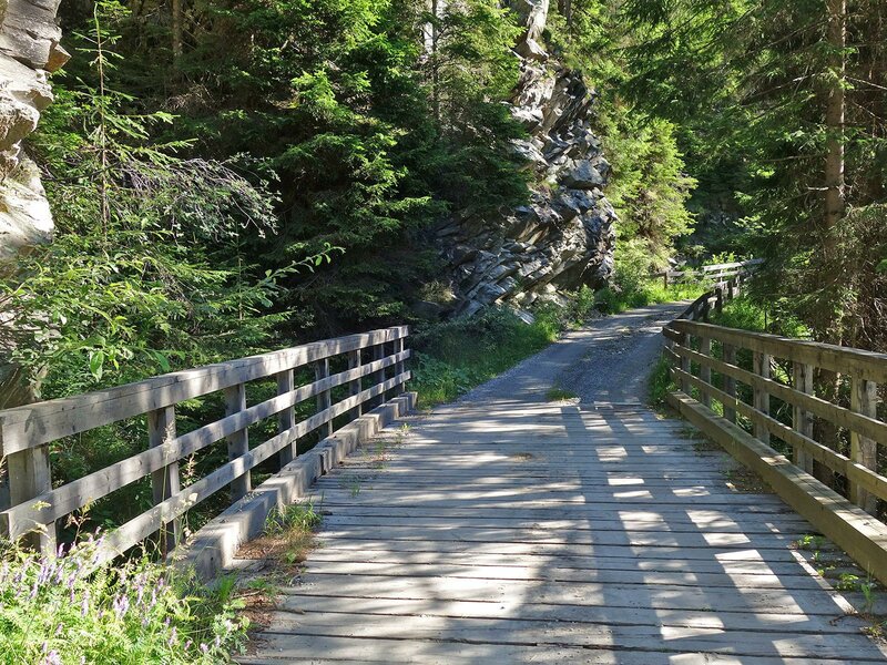
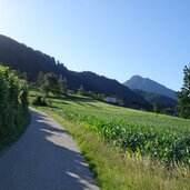
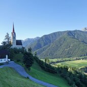
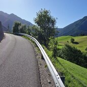
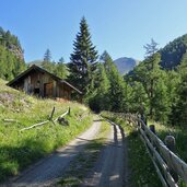
The railway station of Campo di Trens near Vipiteno is our starting point for this mountain bike tour. We cycle towards the village centre - immediately after crossing the Brennero state road, the road to Valgenauna and Flanes di Sotto branches off to the right. The route leads slightly uphill past the Valentine's Church of Valgenauna and then up to Flanes di Sotto.
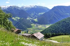
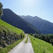
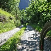
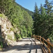
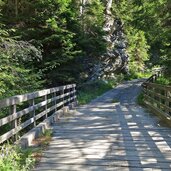
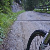
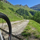
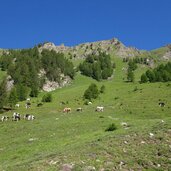
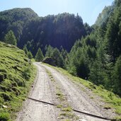
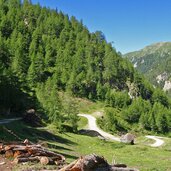
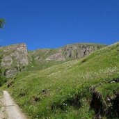
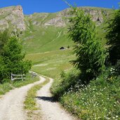
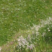
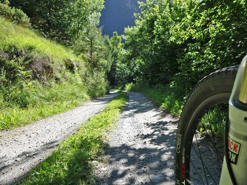
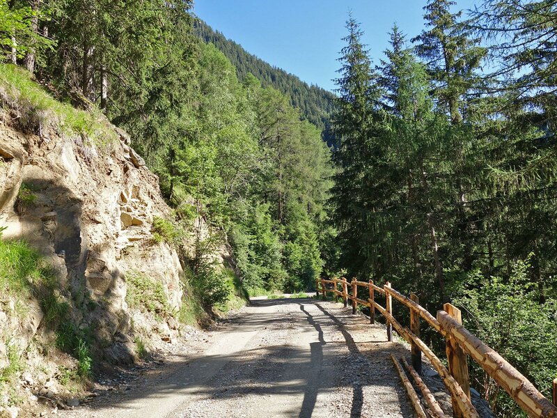
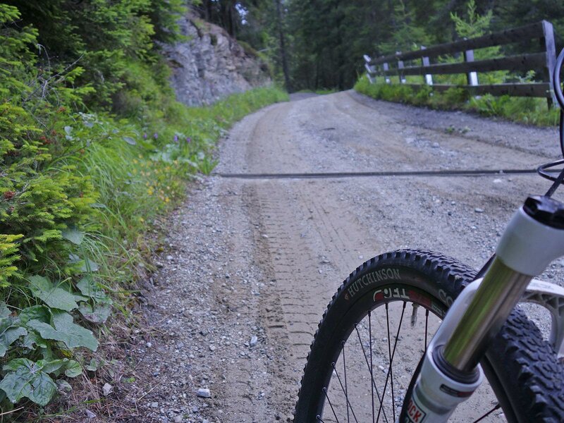
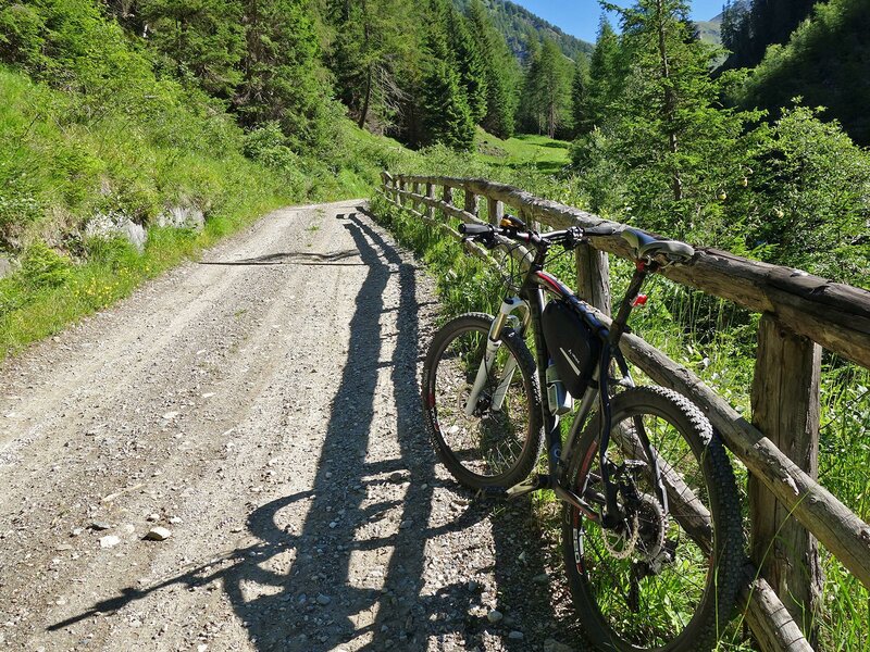
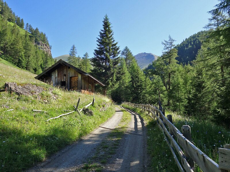
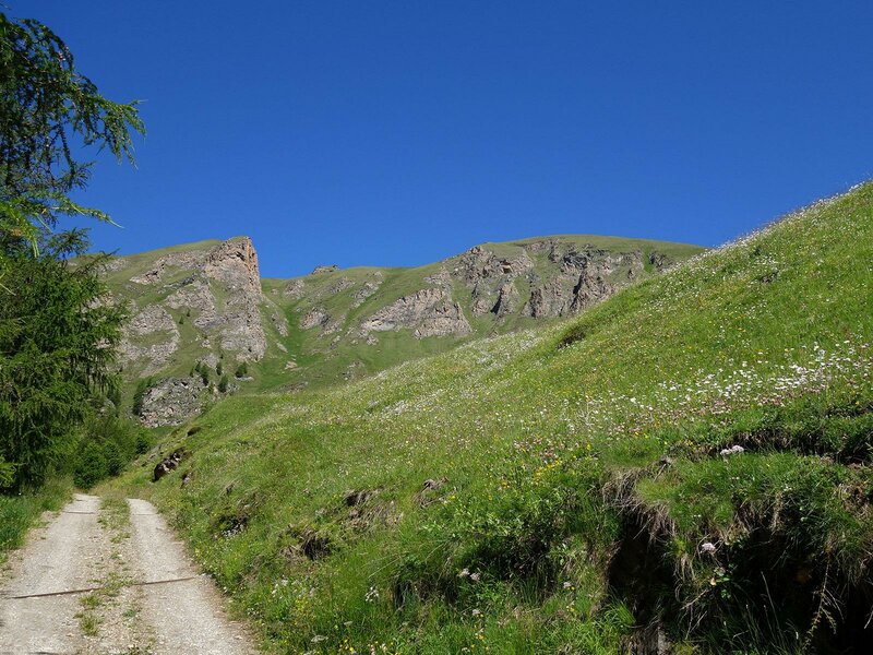
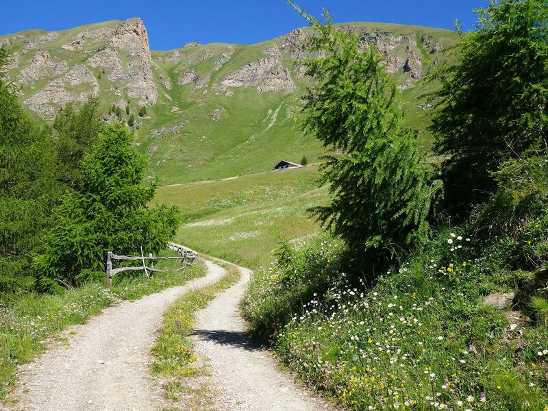
There, the asphalt road ends and we continue on a forest path towards the Val di Senghes valley. Here the route climbs noticeably uphill through the valley gorge. Past the "old Flaner saw" and we reach the Senghes alpine pastures. At the upper end of the valley, where horses and cows graze, the alpine road makes a loop and we start the last crisp climb up to our destination. The Simile Mahd Alm is located on the sunny side below the sloping peaks of Mt. Cima di Senges, Mt. Ochsenkopf and Mt. Finsterstein in the mighty Fundres Mountains or Pfunderer Berge.
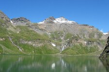
A cool drink and a hearty meal are exactly what we need now. By the way, the Fundres High Route also leads past the mountain hut, and nearby hiking destinations are the Lake Selvaggio and Mt. Picco della Croce. The descent into the valley is along the same route.
Author: AT
-
- Starting point:
- Campo di Trens (railway station)
-
- Time required:
- 03:30 h
-
- Track length:
- 21,2 km
-
- Altitude:
- from 938 m to 2.019 m
-
- Altitude difference:
- +1169 m | -1169 m
-
- Signposts:
- Flanes di Sotto (Niederflans), Simile Mahd Alm
-
- Destination:
- Malga Simile Mahd Alm
-
- Resting points:
- Malga Simile Mahd Alm
-
- Track surface:
- asphalt road 43%, forest trail (gravel surface) 57%
-
- Recommended time of year:
- Jan Feb Mar Apr May Jun Jul Aug Sep Oct Nov Dec
-
- Download GPX track:
- MTB tour to the Simile-Mahd Mountain Hut
If you want to do this tour, we suggest you to check the weather and trail conditions in advance and on site before setting out.