A popular hiking path can be found at the feet of the Roda di Vael, a southwestern part of the Catinaccio group
Image gallery: Hike to the Rif. Roda di Vael hut
-
-
Video : Catinaccio - Latemar
-
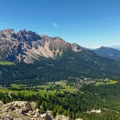
D-4340-latemar-mit-ortschaft-karersee-dorf.jpg
-
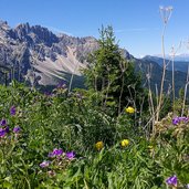
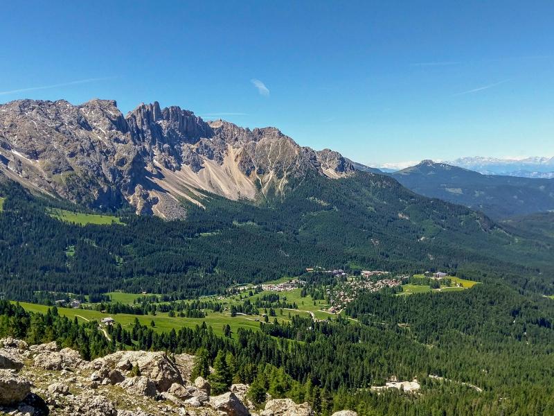
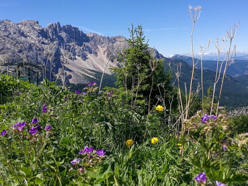
D-4349-aussicht-latemar-und-blumen.jpg
-
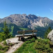
D-4350-Vista-sul-Latemar.jpg
-
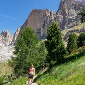
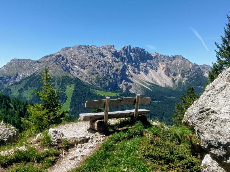
D-4356-weg-552-unter-dem-rosengarten.jpg
-

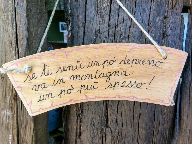
D-4359-spruch-wanderer-vieni-in-montagna.jpg
-
D-6436-sentiero-549-da-rif-roda-di-vael-a-monumento-christomannos.jpg
-
D-6462-sentieri-escursionistici-catinaccio-presso-roda-di-vael-monumento-christomannos.jpg
-
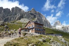
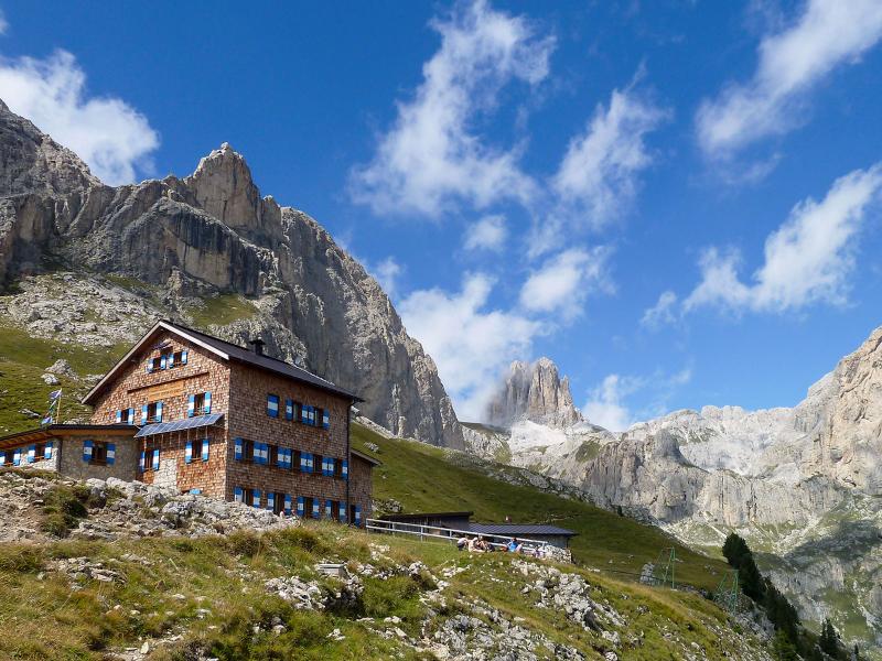
D-6308-rifugio-roda-di-vael-rotwandhuette.jpg
-
D-4440-Vista-sulla-val-di-fassa-dal-rifugio.jpg
-
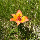
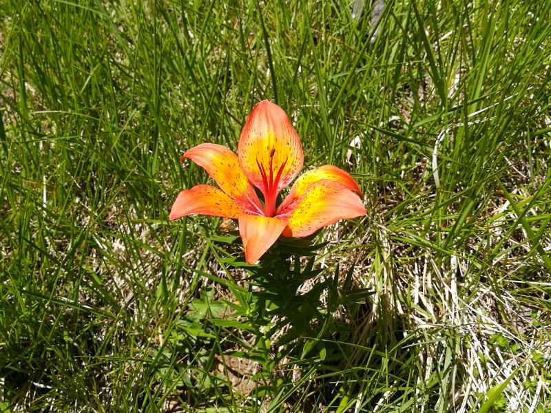
D-4434-feuerlilie.jpg
-
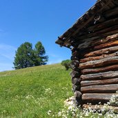
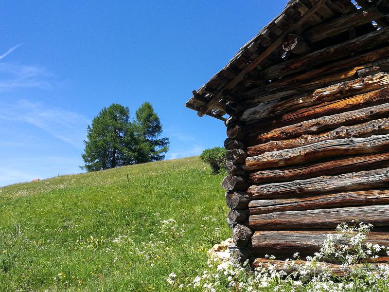
D-4402-huette-unter-rosengarten.jpg
-
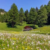
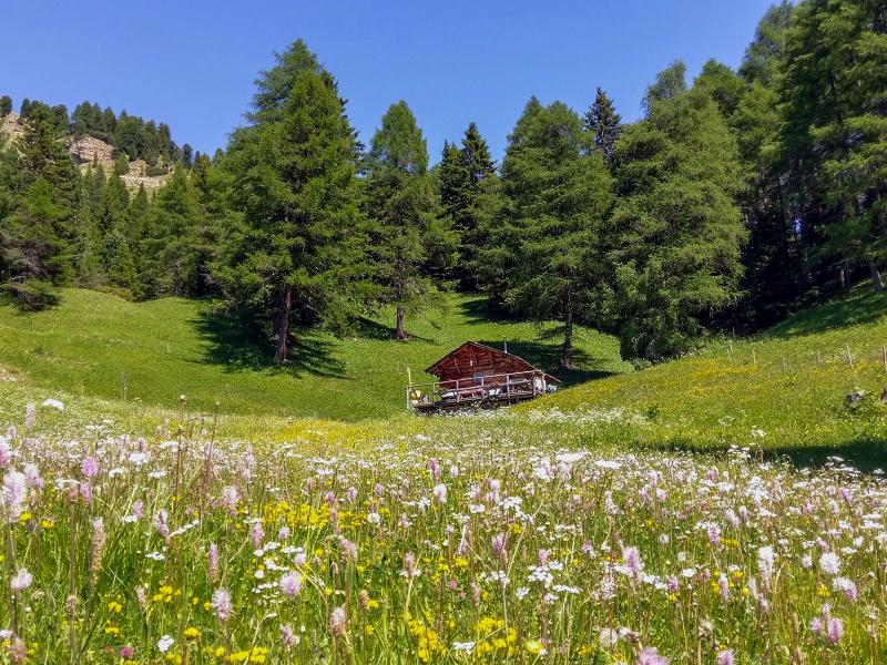
D-4444-almhuette-blumenwiese-malga-sul-sentiero-del-ritorno-con-rosengarten.jpg

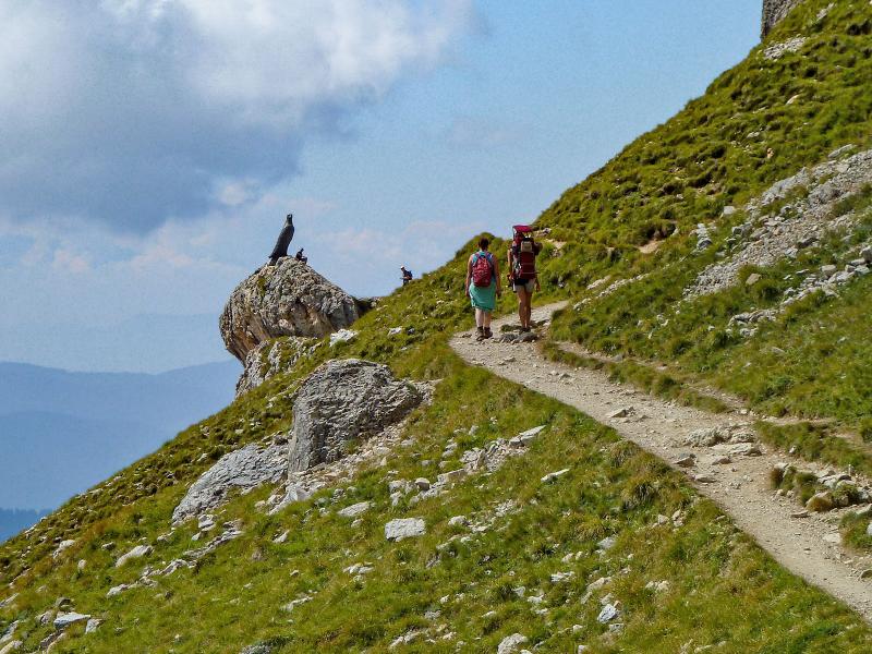
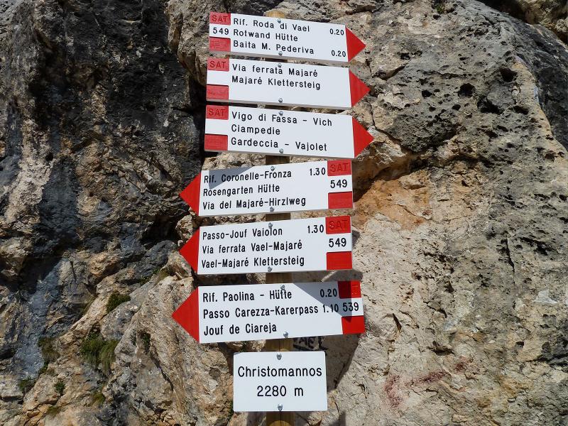
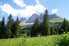
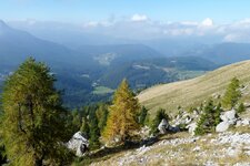
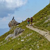
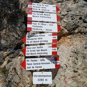
From the parking space "Kaiserstein", located along the road between Passo Costalunga and Passo Nigra and also reachable by public bus, we start our hike on the steep path no. 9, which climbs in narrow serpentines up to the Passo del Vaiolon. After this first ascent, which already overcomes 400 m in altitude, such steep passages do not occur anymore. At the level of path n. 552, which relatively flat crosses the slopes of the impressive western walls of the Catinaccio group, we continue to follow it to the right. It leads towards the Paolina Mountain Hut and the monument with the eagle, dedicated to Theodor Christomannos (1854-1911).
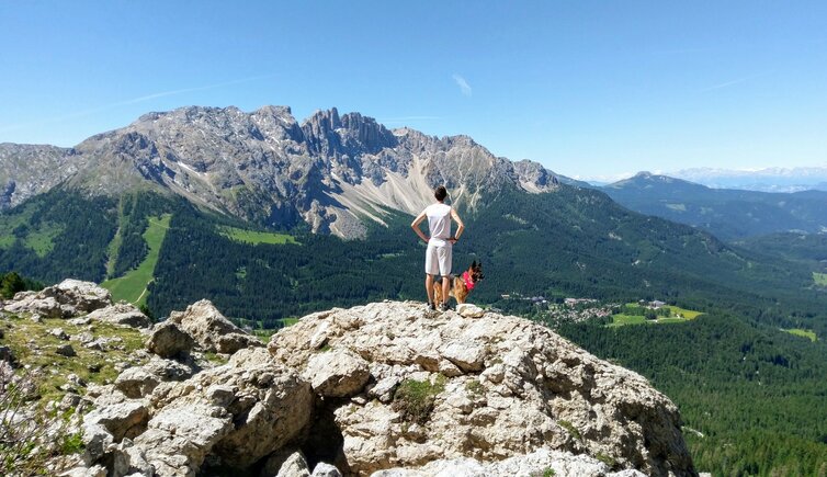
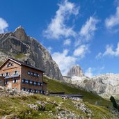
He is considered the pioneer of tourism in South Tyrol. The beautiful panoramic view on the Val di Fassa valley accompanies us. We now follow path no. 549 to the nearby Roda di Vael Mountain Hut (Rotwandhütte) on the Ciampaz Saddle at 2,283 m a.s.l., where we enjoy a break. To return to the starting point later, we choose another route: on path no. 548 we descend towards the Passo Costalunga and then further on the Pearl Path (Perlenweg) 1A back to the parking space.
The effort of the whole tour is moderate (you can avoid the steep ascent at the beginning by using the Paolina Chairlift), but it offers an insight into one of the most fascinating parts of King Laurin's empire. A hike between light dolomite rocks and green sunny meadows under a deep blue sky! It is a popular hiking trail, which can be quite crowded in the high season. If possible, a weekday is recommended for this hike.
Author: Giacomo Roccabruna
-
- Starting point:
- parking space "Kaiserstein" (road between Passo Costalunga and Passo Nigra)
-
- Time required:
- 04:00 h
-
- Track length:
- 10,3 km
-
- Altitude:
- from 1.744 m to 2.283 m
-
- Altitude difference:
- +607 m | -607 m
-
- Signposts:
- no. 9, 552, 539, 549, 548, 1A
-
- Download GPX track:
- Hike to the Rif. Roda di Vael hut
If you want to do this hike, we suggest you to check the weather and trail conditions in advance and on site before setting out.