The Auerberg Valley branches off the Val d’Ultimo valley and stretches up to the top of the Maddalene Mountain Chain: Past the Auerberg Hut we reach the Seefeld Mountain Hut at 2,100 m a.s.l
Image gallery: Hike via the Auerberg Mountain Hut to Lake Seefeld
-
-
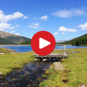
Video : Val d‘Ultimo valley
-
D-8625-ulten-blick-richtung-talschluss-ab-st-nikolaus.jpg
-
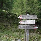
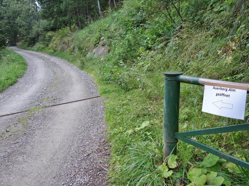
D-8636-wegweiser-auerberg-alm-forststrasse.jpg
-
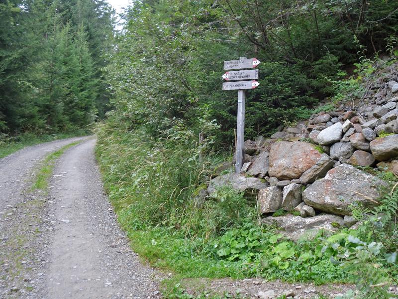
D-8639-wegweiser-auerberg-alm-weg-nr-18.jpg
-
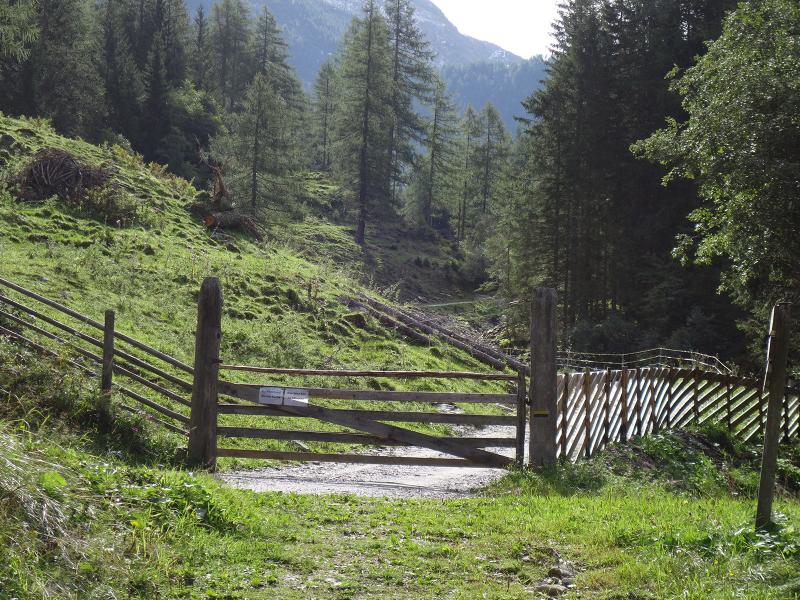
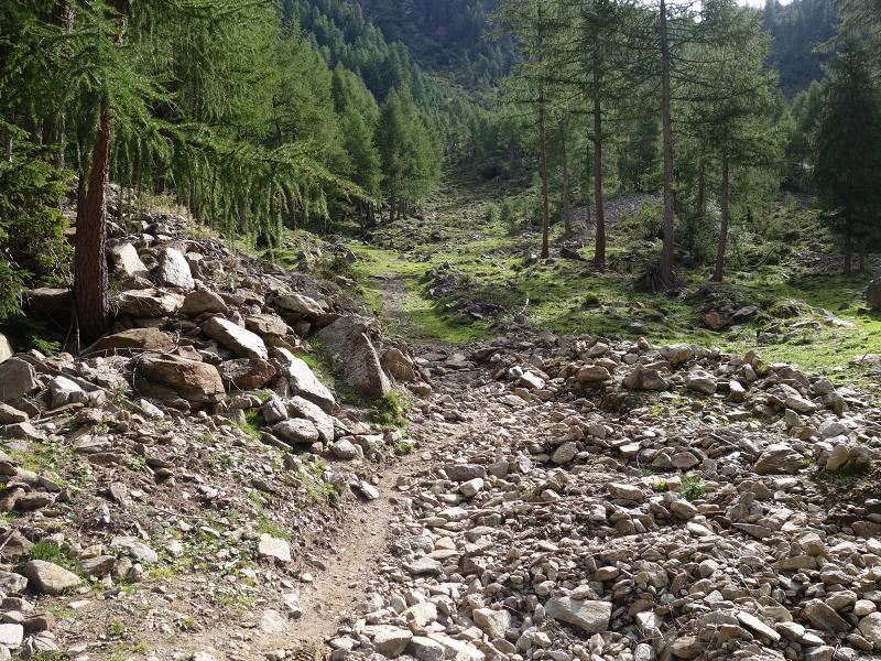
D-8664-weg-nr-18-zur-auerbergalm.jpg
-
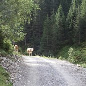
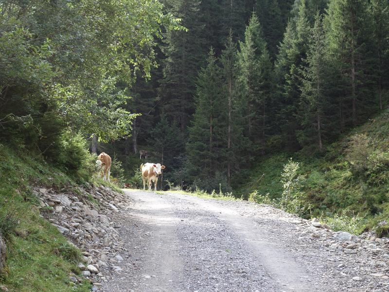
D-8674-kuehe-auf-forstweg-auerberg.jpg
-
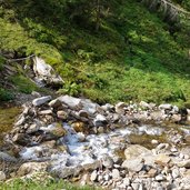
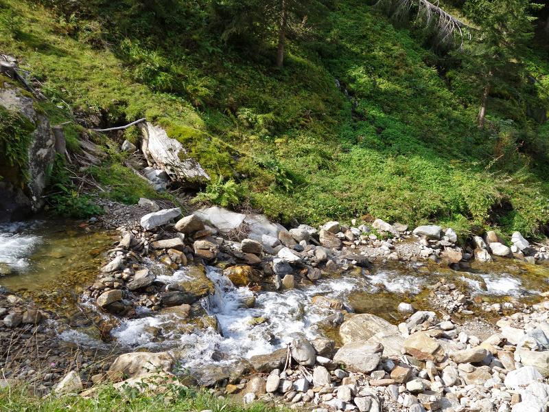
D-8679-auerbergbach.jpg
-
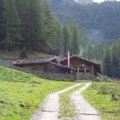
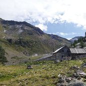
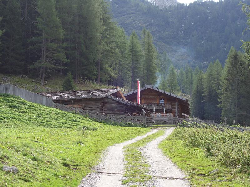
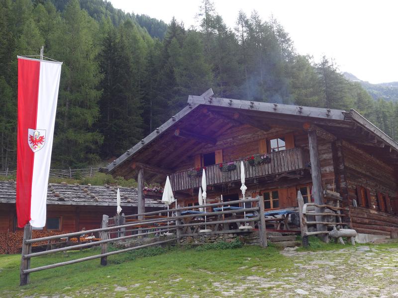
D-8693-auerbergalm.jpg
-
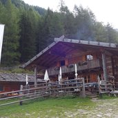
D-8700-auerbergalm.jpg
-
D-8704-auerbergalm-abzweigung-weg-legerler-und-oberes-spiel.jpg
-
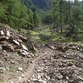
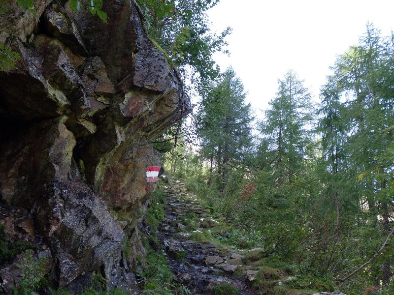
D-8726-wandersteig-zur-seefeldalm.jpg
-
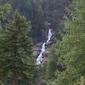
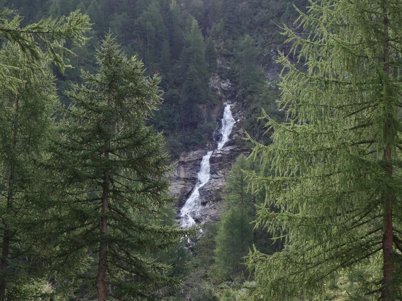
D-8730-wasserfall-auerbergbach.jpg
-
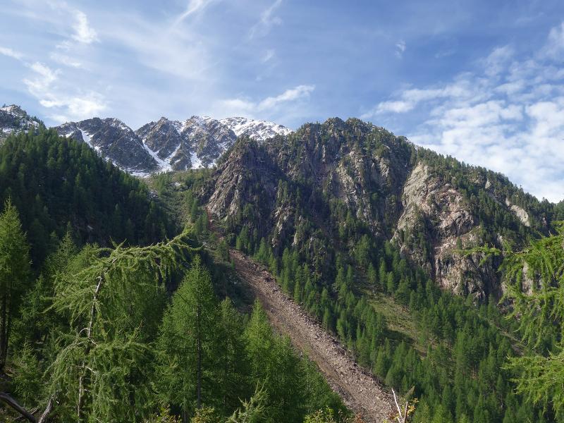
D-8742-wald-und-hangrutsch-bei-oberes-spiel-wildgrub.jpg
-
D-8775-wandersteig-zur-seefeldalm.jpg
-
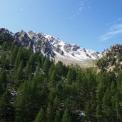
D-8786-blick-richtung-buechelbergspitze-fr3.jpg
-
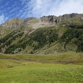
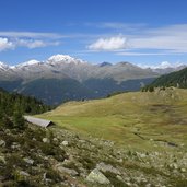
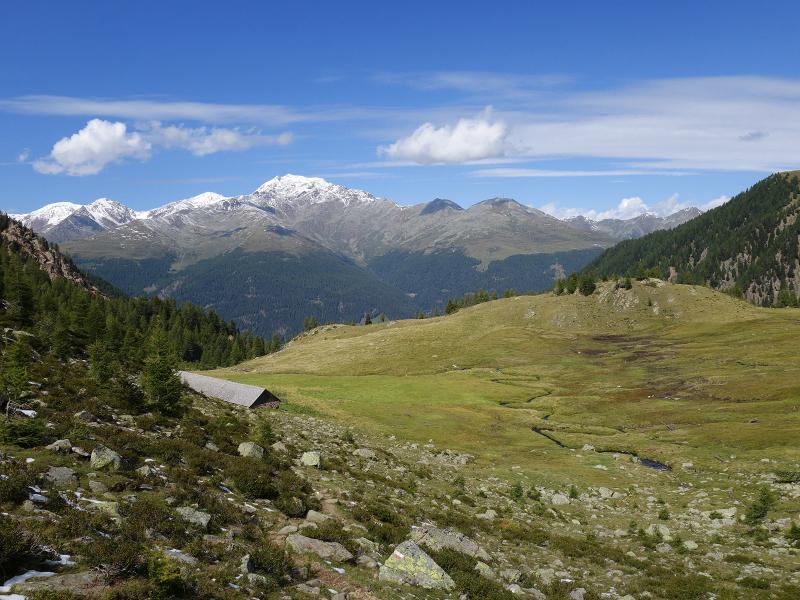
D-8829-seefeld-alm-ulten-fr4.jpg
-
D-8824-seefeld-alm-ulten.jpg
-
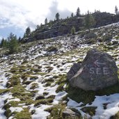
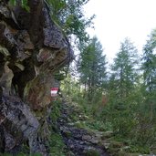
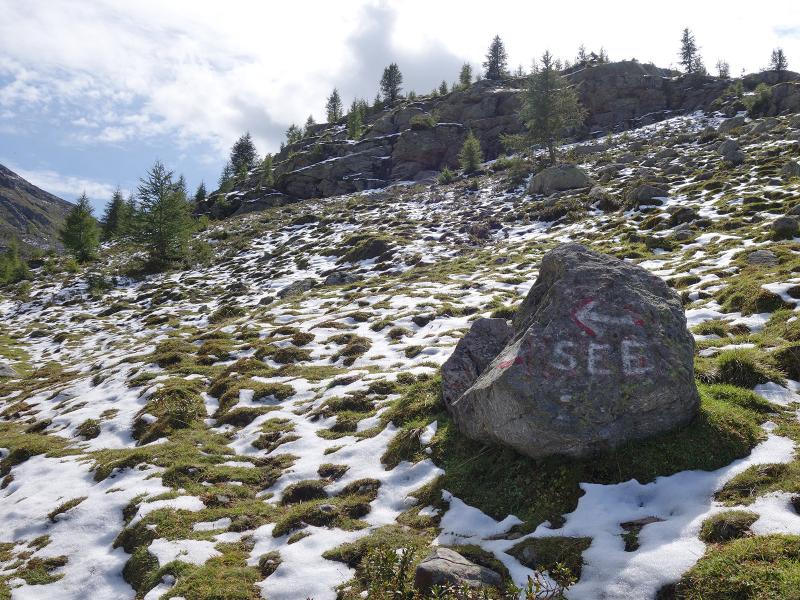
D-8840-markierung-zum-seefeldsee.jpg
-
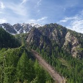
D-8881-landschaft-bei-seefeldalm-und-auerbergspitzen-fr1.jpg
-
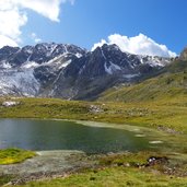
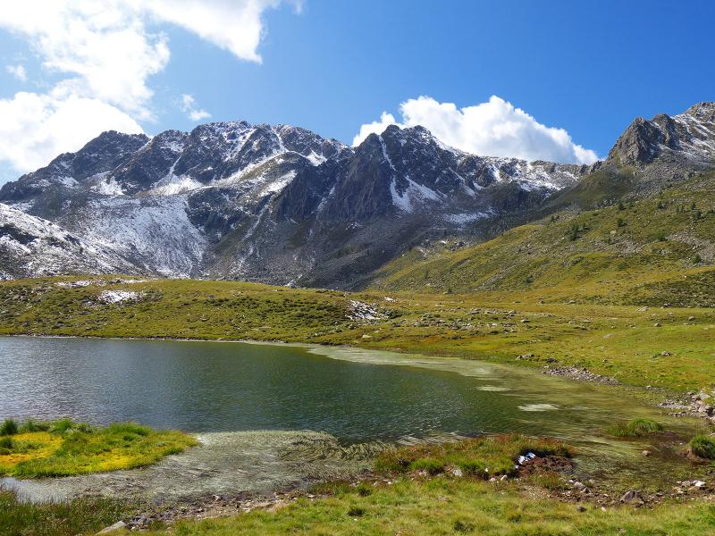
D-9004-seefeldsee-und-seefeldspitz-siromba-und-stuebele-fr5.jpg

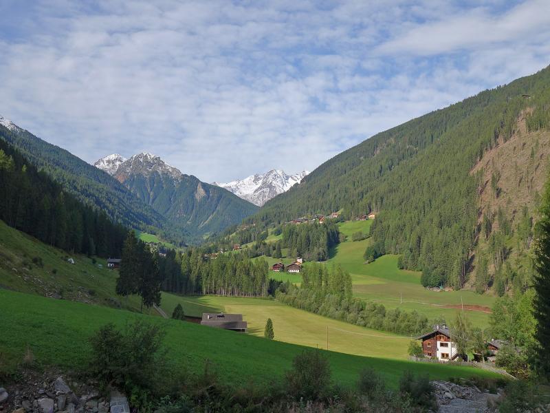
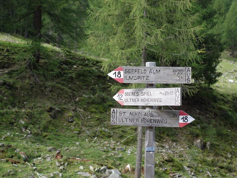
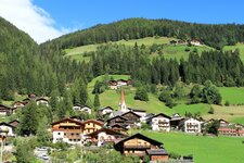
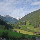
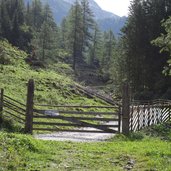
Autumn is already knocking on the door as we start our hike through the Val d’Ora / Auerberg Valley: The first snowfalls have made it temporarily below the 2000-metre mark. In the valley floor of the Val d'Ultimo at the level of the Nördenwies and Grünhaus Farms we follow the forest road to the Auerberg Mountain Hut (Auerberg Alm). A forest path shortens the first section of the trail a little.
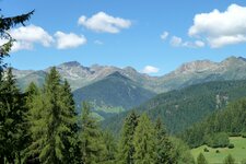
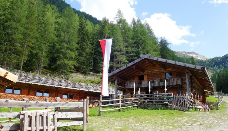
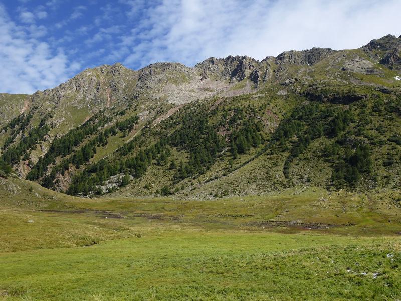
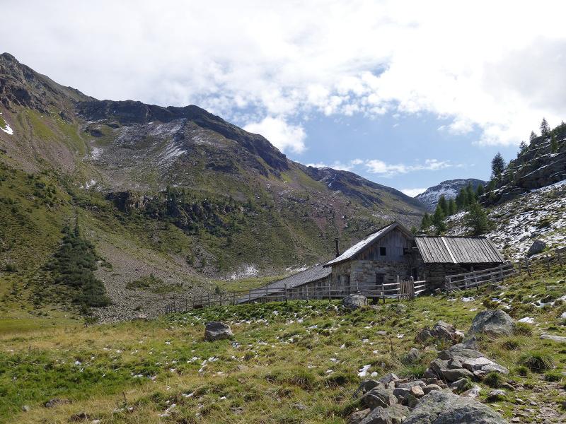
We reach the alp at 1,640 m a.s.l. after about one hour. From here we continue uphill through the valley. At about 1,800 m a.s.l. it gets steeper and the trail changes - instead of the forest road the route follows now a partly paved mule track which leads along the rock on the eastern side of the valley. From the valley gorge we reach the timberline, where a natural wet meadow landscape expands. Here lies the Seefeld Mountain Hut (Seefeldalm).
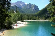
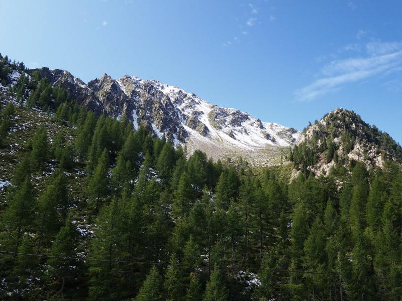
Another 50 m of altitude difference separate us from the destination of our hike, Lake Seefeld (Seefeldsee). It is located in the middle of a high moor, surrounded by the peaks of the Maddalene Mountain Chain: Mt. Cima degli Olmi (Ilmspitz or Ilmenspitze), Mt. Seefeldspitz, Mt. Cima Stübele and Monte Faggiola (Büchelberg) surround the area. For the way back down to San Nicolò (St. Nikolaus) we take the same route - of course, we also enjoy a cosy stop at the Auerberg Mountain Hut, the only snack station along the way.
Note: on some maps Lake Seefeld is indicated with the Italian name of Lago Siromba, on others as Lago di Campolago. In order not to get confused with the near Lago della Siromba (Schrummsee), we suggest to make exclusive reference to the German name Seefeldsee.
Author: AT
-
- Starting point:
- Ultimo Valley Road at San Nicolò
-
- Time required:
- 04:45 h
-
- Track length:
- 11,1 km
-
- Altitude:
- from 1.235 m to 2.177 m
-
- Altitude difference:
- +942 m | -942 m
-
- Route:
- San Nicolò - Auerberg Mountain Hut - Seefeld Mountain Hut - Lake Seefeld
-
- Signposts:
- no. 18, "Seefeldalm"
-
- Destination:
- Lago Seefeld / Seefeldsee
-
- Resting points:
- Auerberg Mountain Hut
-
- Recommended time of year:
- Jan Feb Mar Apr May Jun Jul Aug Sep Oct Nov Dec
-
- Download GPX track:
- Hike via the Auerberg Mountain Hut to Lake Seefeld
If you want to do this hike, we suggest you to check the weather and trail conditions in advance and on site before setting out.