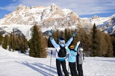
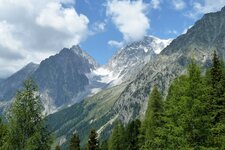
The Croda Rossa above Passo Stalle offers expansive views, but the ascent is long and demanding
Image gallery: Ski tour to Mount Croda Rossa
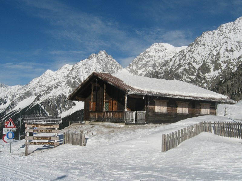
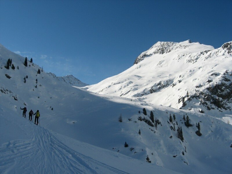
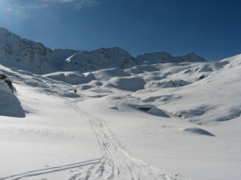
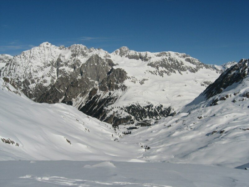
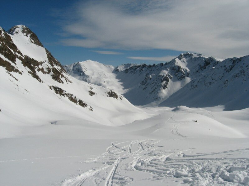
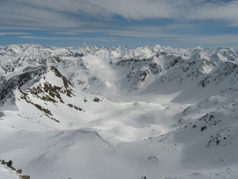
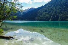
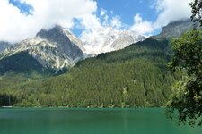
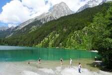
On this March day, we set off from the car park at Lake Anterselva in Anterselva di Sopra for our tour to Mt. Croda Rossa. Along the eastern shore, the route first leads to the Genziana Hut and then uphill through the forest beside one of the Val Pusteria toboggan runs - the 4.5-kilometre-long Passo Stalle toboggan track. After around 20 minutes, we meet the track, follow it for a few metres to the right, and then turn left to cut across open terrain into a small valley.
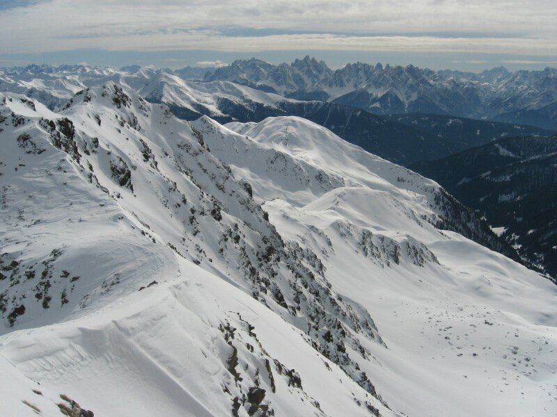
We cross the line of the toboggan run several times before reaching the 2,030-metre-high Passo Stalle, which links South Tyrol in Italy to East Tyrol in Austria. From here, the route continues diagonally to the right up towards the base of a mountain ridge between the Weissenbachtal and the Agstalltal valleys. Above the stream gorge, the Agstalltal opens up to the right.
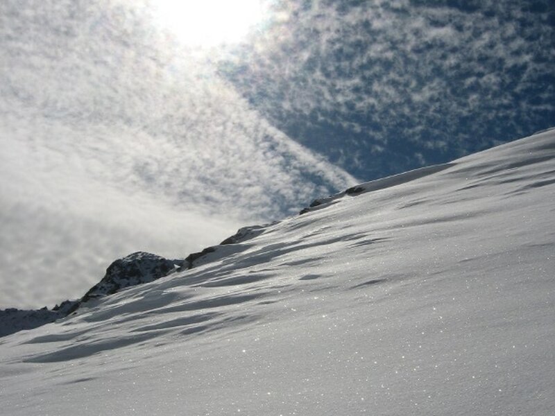
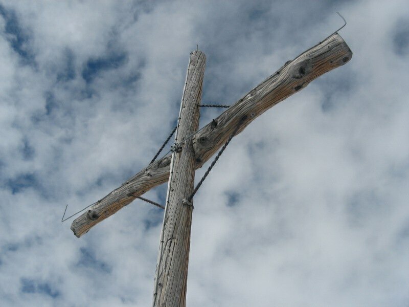
We continue southwards across rolling, moderately steep terrain. Now the summit and its cross come into view. Heading west, we tackle the slope in several kick turns until reaching the saddle below the Croda Rossa d'Anterselva (Rote Wand). With skis on our feet - or on foot if the snow is hard - we follow the ridge to the 2,818-metre-high summit in the Rieserferner Group.
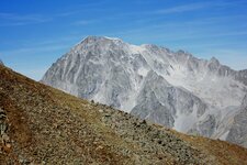
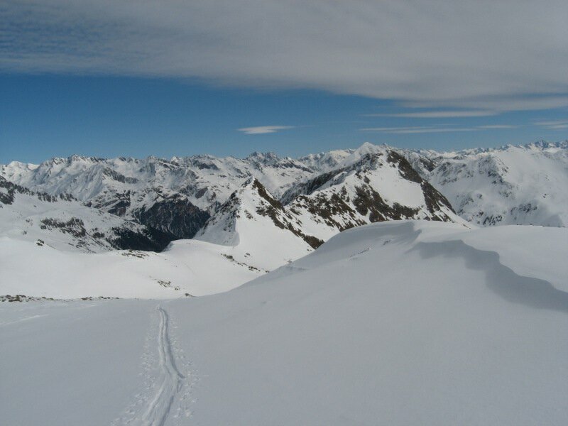
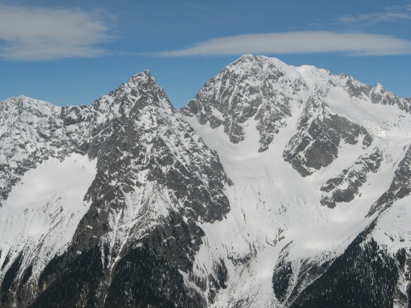
From the top, a sweeping panoramic view opens across countless peaks in South Tyrol and East Tyrol. Rising prominently directly opposite are the Collalto and the Collaspro, two 3,436 metres resp. 3,273 metres high mountain giants. The descent follows either the ascent track or - assuming completely stable conditions - the more direct and rewarding variant towards the Steinzger Hut.
It sits at an altitude of 1,894 metres and remains open during the winter season as well. The net elevation gain does not immediately reveal the true scale of this itinerary: The ski tour to the Croda Rossa d'Anterselva stretches over a substantial distance and requires good basic endurance.
Author: BS
Experienced: March 2011
Last updated: 2026
-
- Starting point:
- Lake Anterselva car park at the biathlon centre (1,644 m a.s.l.)
-
- Overall time:
- 04:30 h
-
- Total route length:
- 9,6 km
-
- Altitude:
- from 1.644 m to 2.818 m
-
- Altitude difference (uphill | downhill):
- +1127 m | -0 m
-
- Route:
- Lake Anterselva - Genziana Hut - Passo Stalle - Agstalltal valley - ridge - Mt. Croda Rossa
-
- Destination:
- summit of Mt. Croda Rossa d'Anterselva (2,818 m a.s.l.)
-
- Resting points:
- Genziana Hut (all year round), Steinzger Hut (December to the end of March)
-
- Recommended time of year:
- Jan Feb Mar Apr May Jun Jul Aug Sep Oct Nov Dec
-
- Download GPX track:
- Ski tour to Mount Croda Rossa
-
- More information:
- The data listed above for overall time, total route length, and altitude difference refer to the ascent from Lake Anterselva to the summit of Mt. Croda Rossa d'Anterselva - any breaks and the descent on skis are not included. Orientation of the slope: W, N-E (west, north-east).
We highly recommend checking the weather conditions in advance and on site before starting your tour. Don't forget to check the current avalanche forecast!