This hike takes you into the Val Passiria mountains, past alpine pastures and mountain lakes, up to the Petrarca all’Altissima Hut
Image gallery: Mountain tour from Plan to the Rifugio Petrarca hut
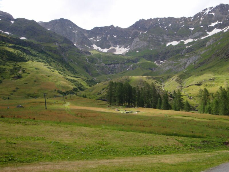
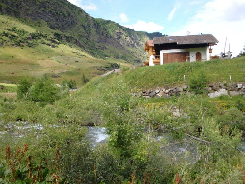
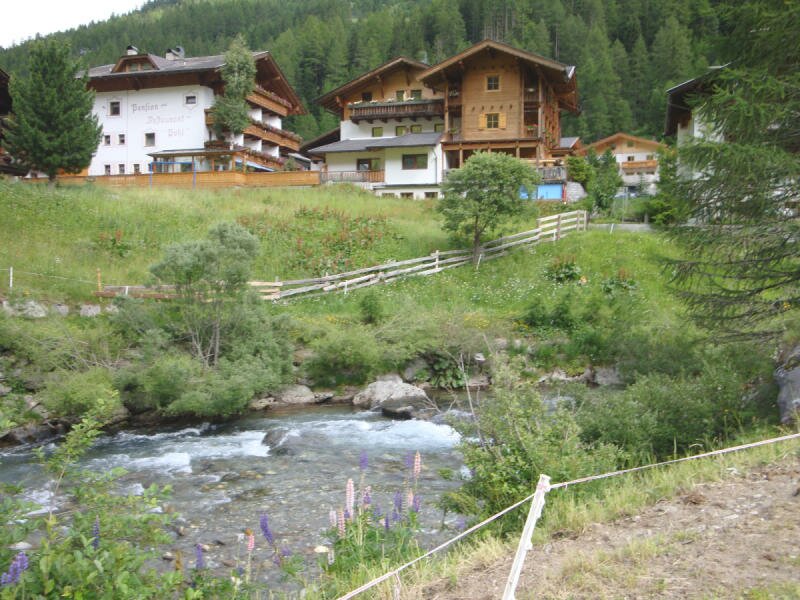
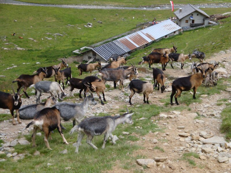
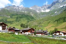
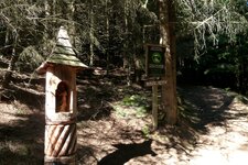
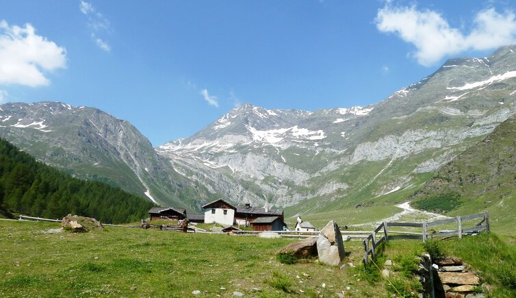
We stop at the car park before Plan and immediately notice the refreshing mountain air. Here, at over 1,600 metres above sea level, our July tour begins. We pass the Alpenrose inn on the right to reach the first AVS (Alpine Club South Tyrol) hut - shortly after this, the actual hiking trail starts. After half an hour, we leave the Lazins farm tavern behind us, and half an hour later we reach the Lazins Hut at 1,882 metres a.s.l. in the middle of the Gruppo di Tessa Nature Park.
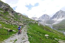
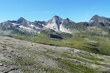
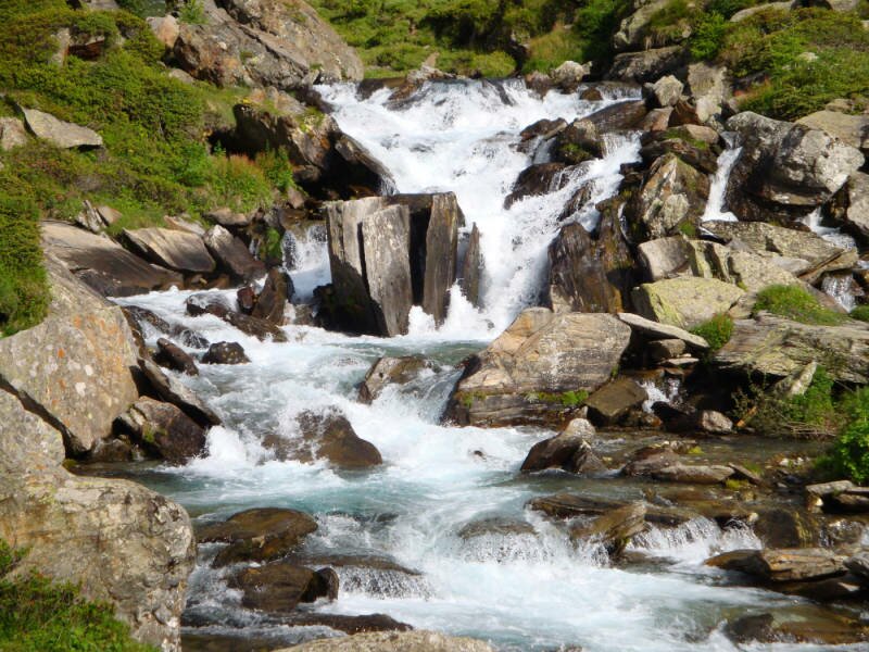
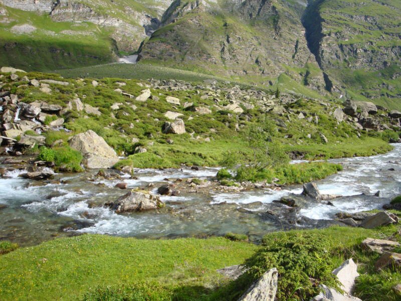
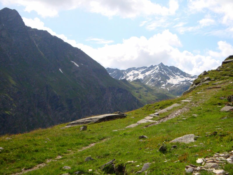
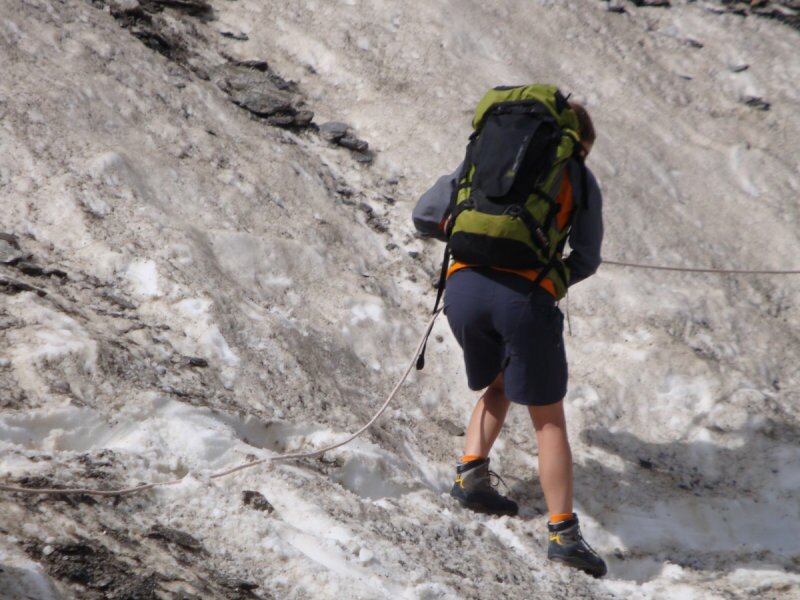
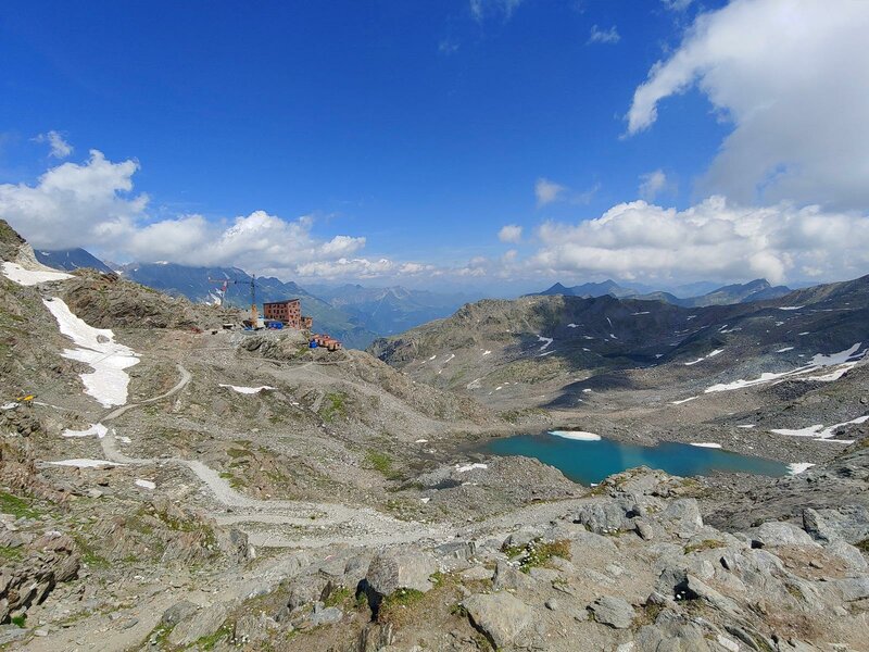
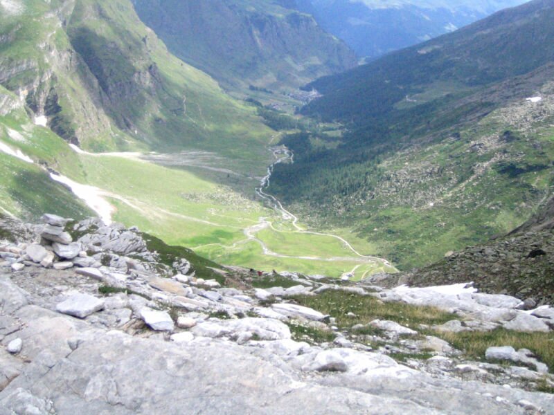
The path now leads past the alpine pasture, zigzagging further and further up into the mountains of the Upper Val Passiria. Some sections are quite steep. Beautiful mountain lakes and wonderful views are part of the experience here. A nature park ranger we meet even points out a marmot and some carnivorous plants to us. After crossing a few snowfields, a hike of about four hours, and a considerable altitude difference of over 1,250 metres, we catch sight of the Petrarca Hut.
The air here at an altitude of 2,875 metres below the Passo Gelato has become somewhat thinner, but the panoramic view of the surrounding mountains makes up for every effort. The Petrarca all'Altissima Hut (Stettiner Hütte) was built in its original form between 1805 and 1897 and expanded in 1900 and 1913. It was destroyed by an avalanche in 1931 and a second time in 2014.
A few years ago, the hut was rebuilt and reopened, and it is now managed again during the summer months. It serves good home-style cooking, which we thoroughly enjoy. Afterwards, we start our return journey along the same path. We take our time, as the descent is also tiring. Alternatively, the mountain hut provides overnight accommodation in 10 shared rooms.
If you do not want to walk back the same way, you can descend via the Val di Fosse into the Val Senales. This variation corresponds to a stage of the Merano High Route.
Author: MC
Experienced: July 2013
Last update: 2026
-
- Starting point:
- parking space before the village of Plan (1,597 m a.s.l.)
-
- Overall time:
- 07:15 h
-
- Total route length:
- 20,9 km
-
- Altitude:
- from 1.597 m to 2.876 m
-
- Altitude difference (uphill | downhill):
- +1279 m | -1279 m
-
- Signposts:
- no. 8, 24
-
- Destination:
- Petrarca all'Altissima Hut (2,876 m a.s.l.)
-
- Resting points:
- Lazins farm tavern (May to November), Lazins Hut (May to October), Petrarca all'Altissima Hut (July to September)
-
- Recommended time of year:
- Jan Feb Mar Apr May Jun Jul Aug Sep Oct Nov Dec
-
- Download GPX track:
- Mountain tour from Plan to the Rifugio Petrarca hut
-
- More information:
- The time indicated above refers to the walking time only, excluding breaks. The car park near Plan is the last place to park. Don't forget to bring warm clothing, rain gear and food - even in summer it can get very cold in these heights. Not suitable for those who are afraid of heights!
If you want to undertake this hike, we recommend checking the weather and trail conditions in advance and on site before starting this hike!