The longest Waalweg path in South Tyrol, a beautiful destination in spring, leads from Tel to Lana
Image gallery: Hike along the Marlengo Waalweg path
-
-
-
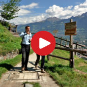
Video : Marlengo Waalweg path
-
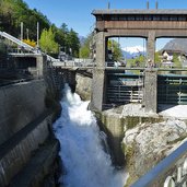
1368014047_D-5874-wasserkraftwerk-toell.jpg
-
1368014209_D-5882-marlinger-waalweg-bei-forst.jpg
-
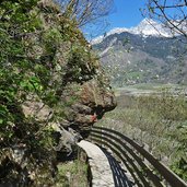
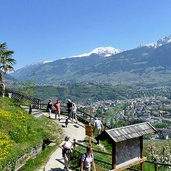
1368014281_D-6010-aussicht-algund-vom-marlinger-waalweg.jpg
-
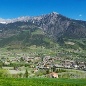
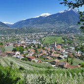
1368014550_D-6114-marlinger-waalweg-und-meran.jpg
-
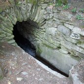
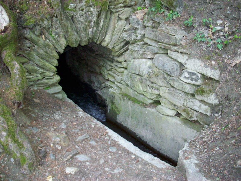
1252501354D100-0812-knappenloch-marli.jpg
-
D-6141-aussicht-marling-apfelbluete.jpg
-
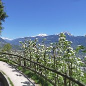
D-6174-marlinger-waalweg-apfelbluete.jpg
-
D-6178-apfelblueten-und-talblick-etschtal.jpg
-
D-6191-marlinger-waalweg-waldabschnitt-bei-marling.jpg
-
D-6240-marlinger-waalweg-apfelbluete.jpg
-
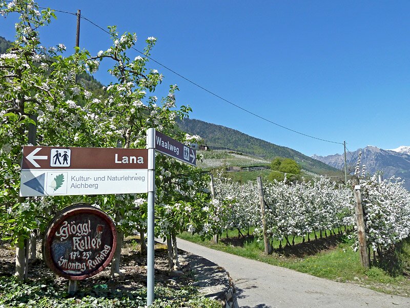
D-6412-wegweiser-lana-marlinger-waalweg-apfelbluete.jpg
-

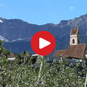
video : Marlengo near Merano as seen from above
-
video : Count von Pfeil and his labyrinth garden
-
video : Marlengo

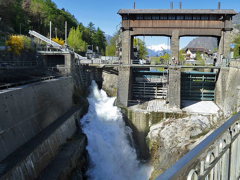
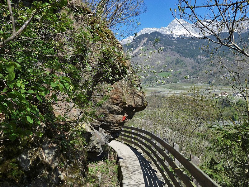
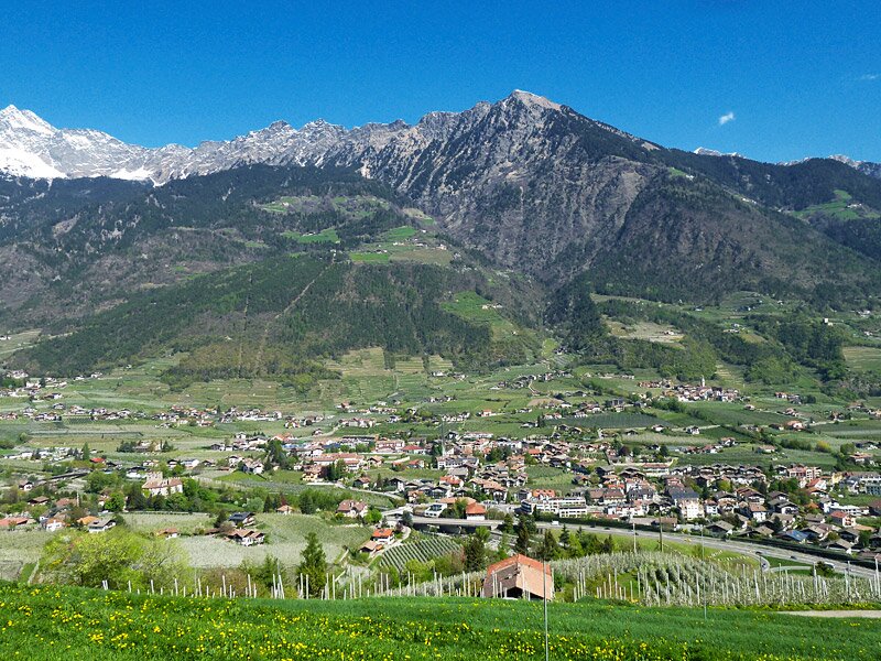
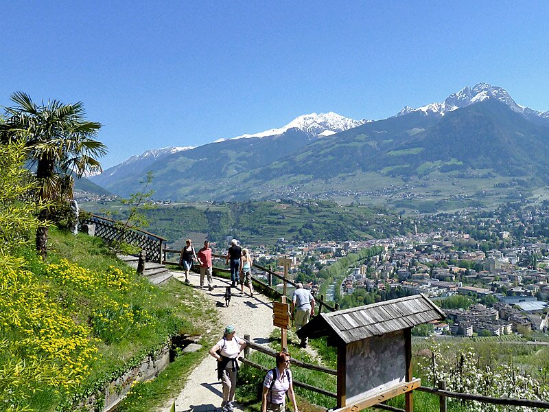
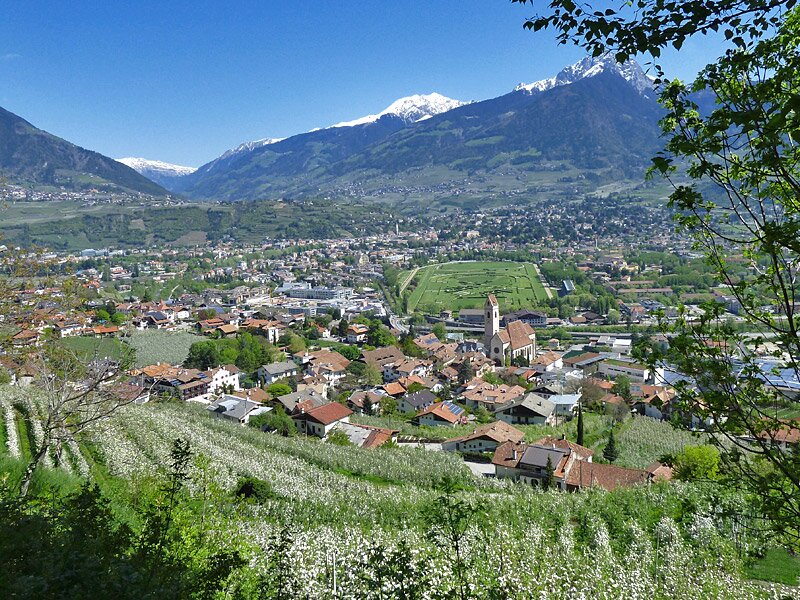
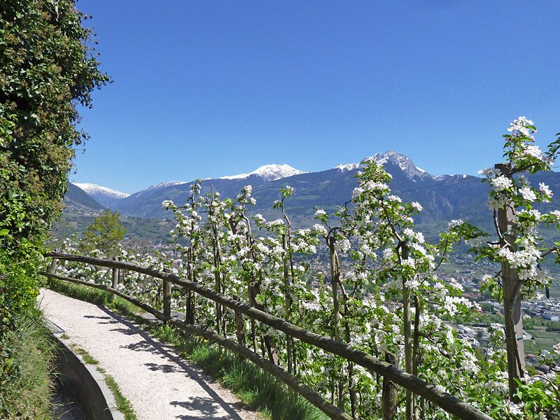
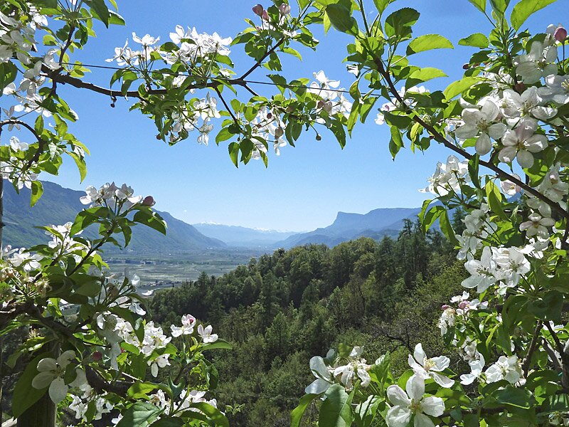
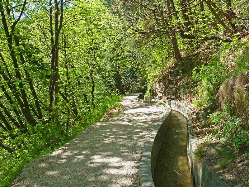
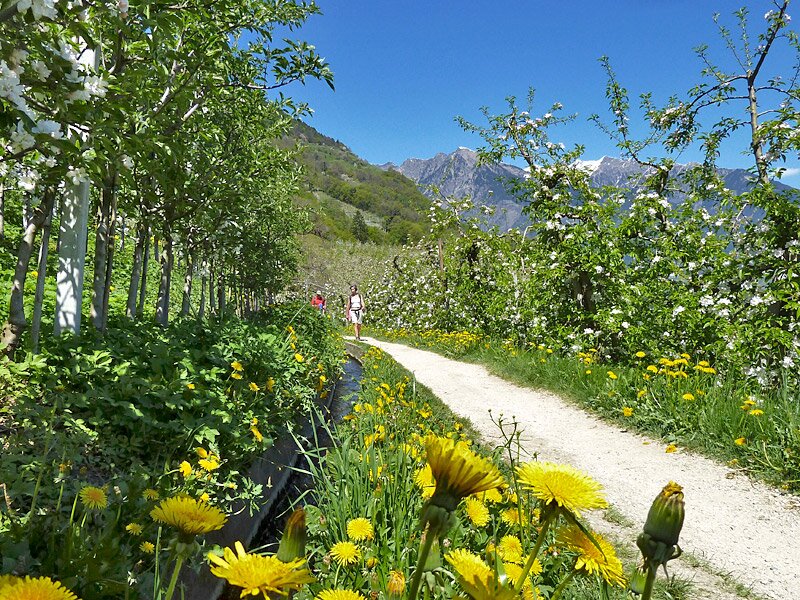


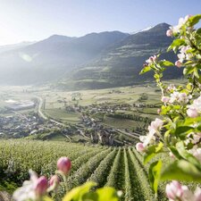
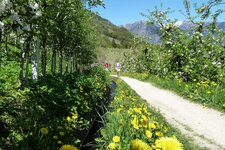
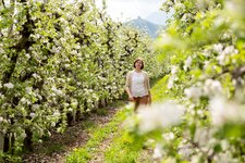
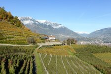
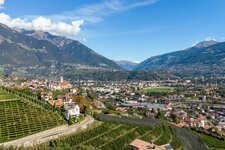
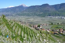
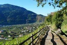
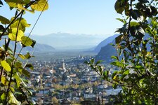
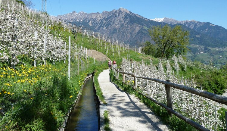
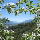
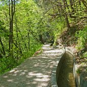
The so-called "Waale" are irrigation canals which were built in the past to irrigate the cultivated fields in dry areas. Next to these canals there was a small and narrow path which was used to control these irrigation canals. Today, however, these Waalweg paths are popular destinations for pleasant walks. One of them is called "Roggia di Marlengo" (in Italian) or "Marlinger Waalweg" (in German), which is also the longest in South Tyrol with a trail length of 12 km.
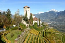
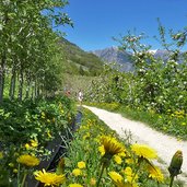
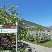
This irrigation canal has been built about 250 years ago and still passes through the original way. The Marlengo Waalweg path starts at Tel (Töll) and snakes its way above the localities of Foresta, Marlengo and Cermes and terminates at Lana. On its way the path crosses vineyards and meadows covered by fruit trees. Along the path there are several possibilities to stop for a bite to eat. Another highlight along the path is Monteleone Castle from the 13th century.
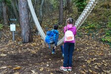
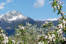
Walks along the Marlengo Waalweg path are particularly pleasant in spring and autumn, but also in hot summer days, as the path is quite shady. It is especially suitable for a family walk. A 2 km long trail at its beginning is marked as "Squirrel Trail" along which you can learn more about the biosphere forest, the sound of different stones and the annual rings of trees. For the return it is possible to use public transport (bus/train).
Author: AT
-
- Starting point:
- Tel chiusa
-
- Time required:
- 03:15 h
-
- Track length:
- 10,8 km
-
- Altitude:
- from 314 m to 521 m
-
- Altitude difference:
- +10 m | -220 m
-
- Signposts:
- 29, "Marlinger Waalweg"
-
- Destination:
- Lana, via Raffein
-
- Resting points:
- Enzian, Waldschenke, Waldheim, Traudis Imbiss, Leitenschenke, Oberbrunn, Glöggl
-
- Track surface:
- trail
-
- Recommended time of year:
- Jan Feb Mar Apr May Jun Jul Aug Sep Oct Nov Dec
-
- Download GPX track:
- Hike along the Marlengo Waalweg path
If you want to do this hike, we suggest you to check the weather and trail conditions in advance and on site before setting out.