A beautiful alpine panorama opens up on the circular hike over the Monte Luta to the Alpe di Tesido
Image gallery: Hike to the Monte Luta mountain

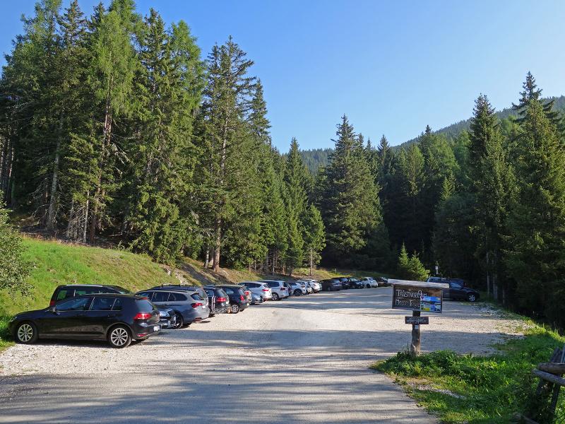
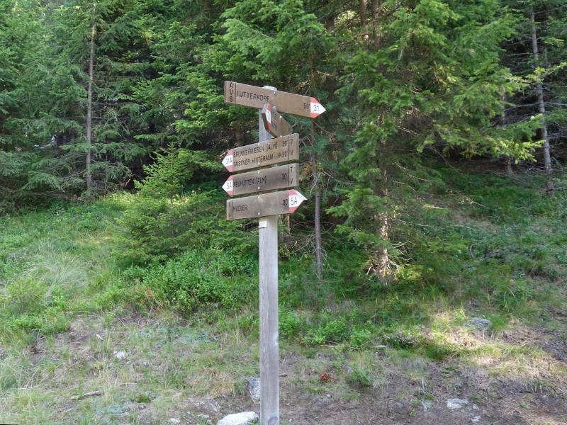
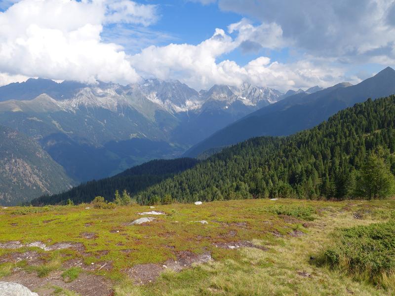
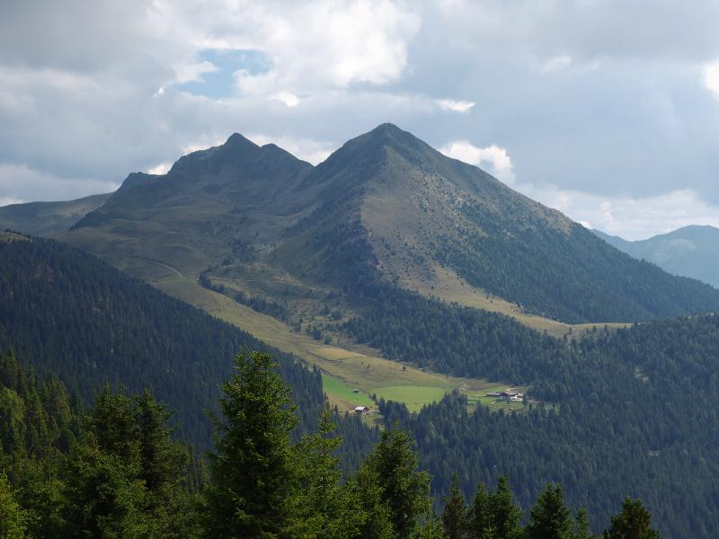
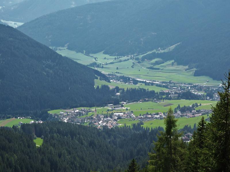
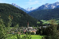
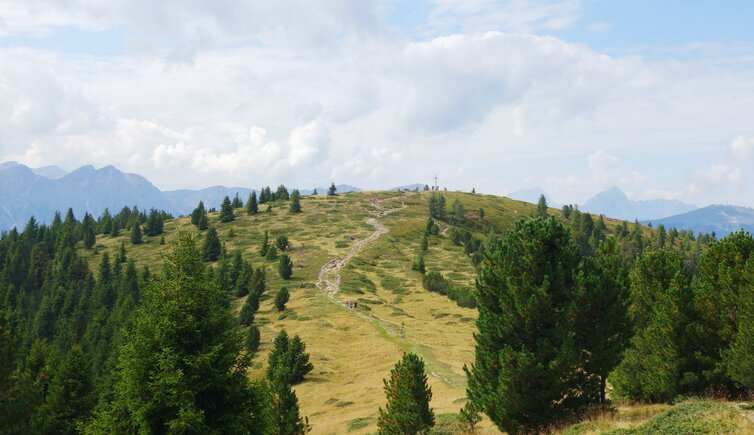
The Monte Luta, or Lutterkopf, northeast of Tesido is a rounded elevation with a treeless peak. It grants a wonderful and wide-ranging view over the Sesto Dolomites and the Upper Val Pusteria. Our September hike starts at the car park above the Mudler mountain inn at 1,620 metres above sea level, just below the Alpe di Tesido (Taistner Alm).
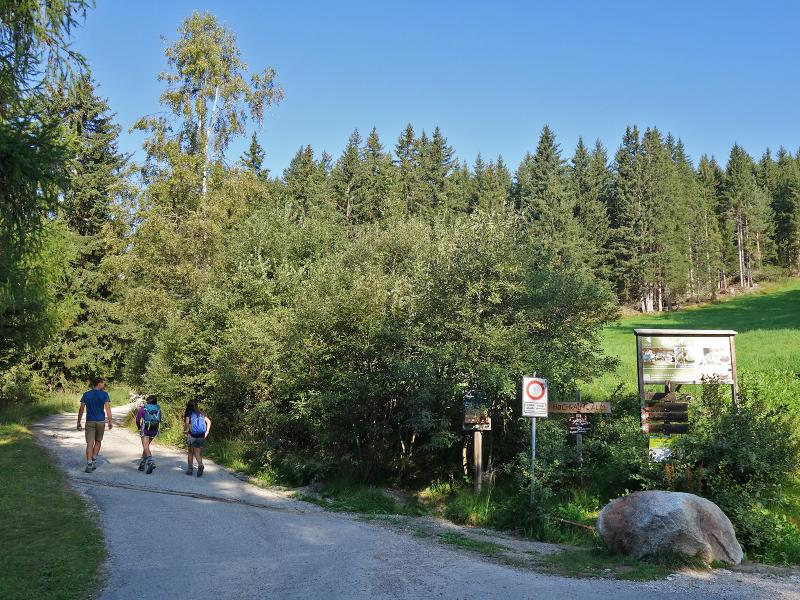
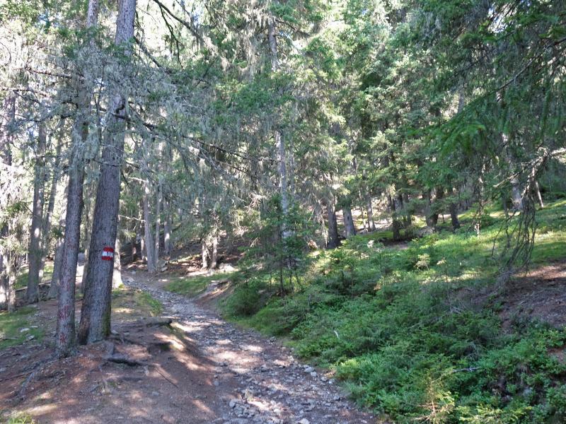
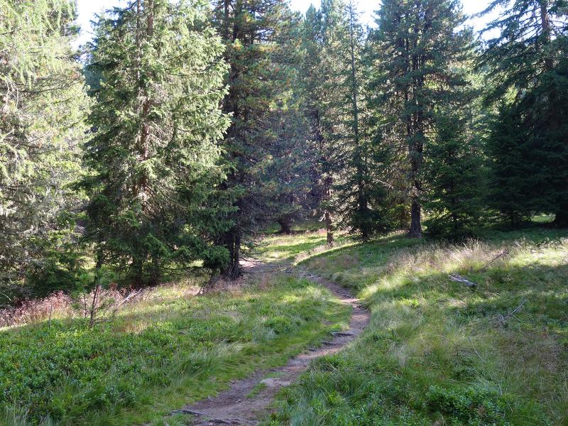
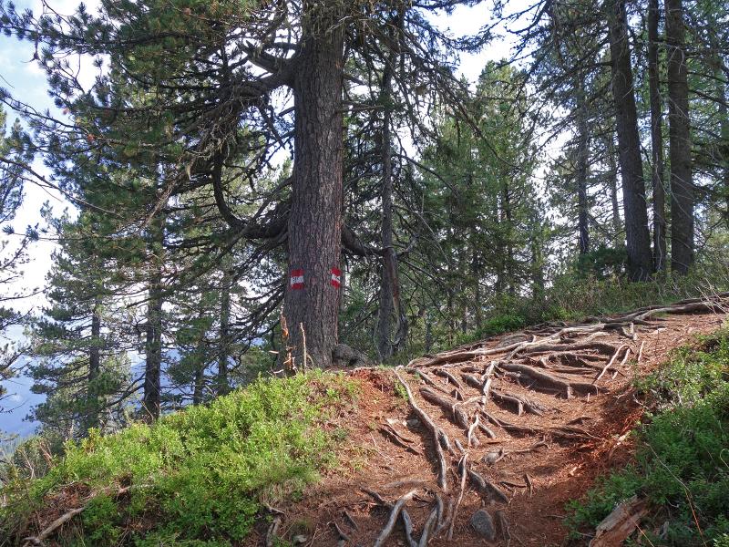
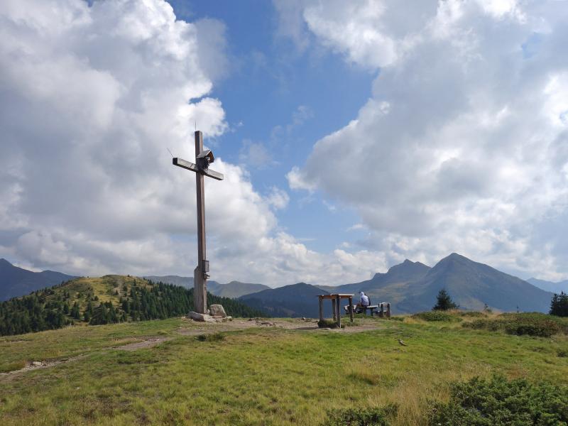
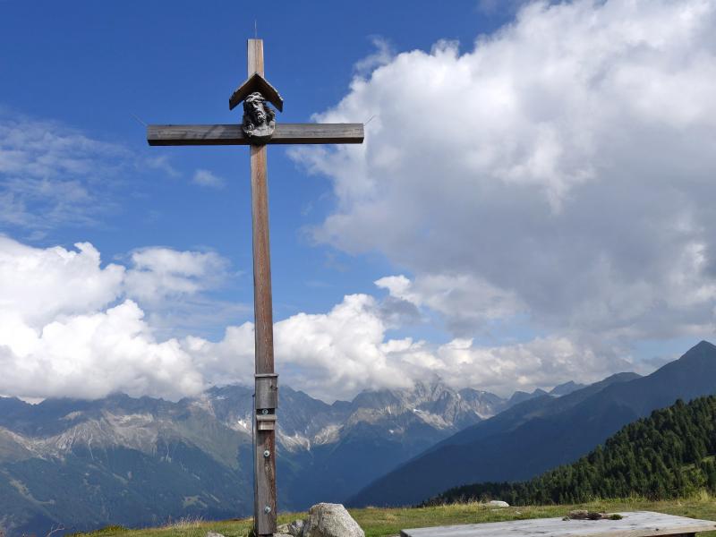
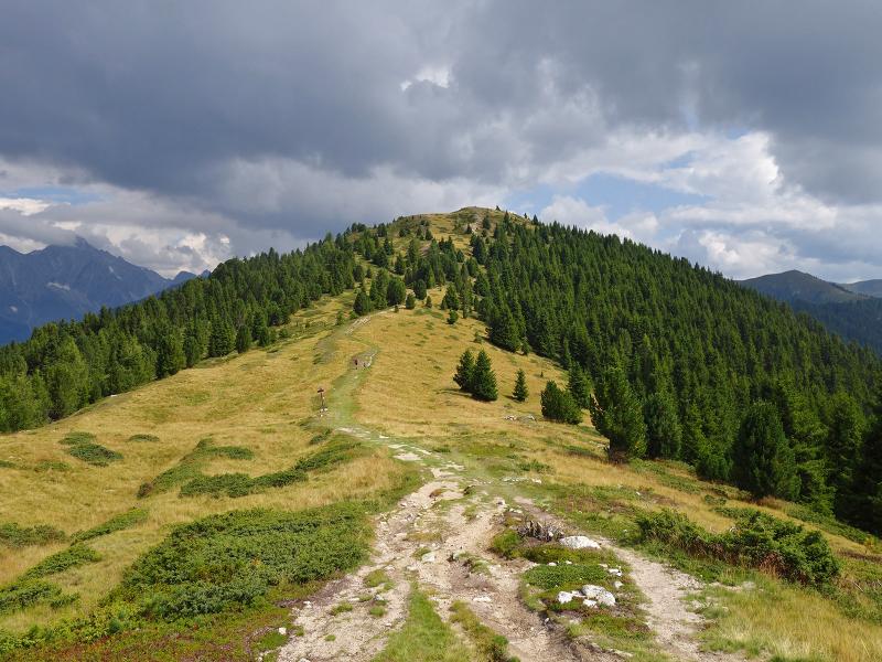
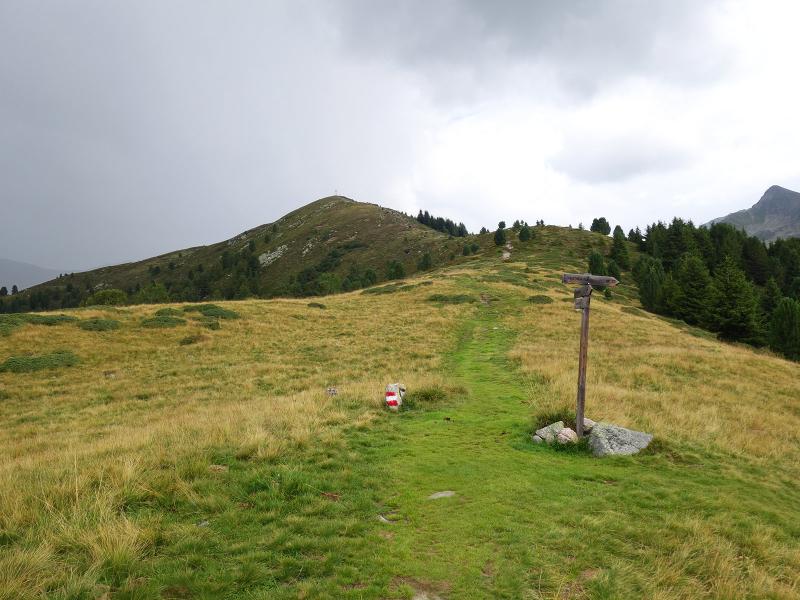
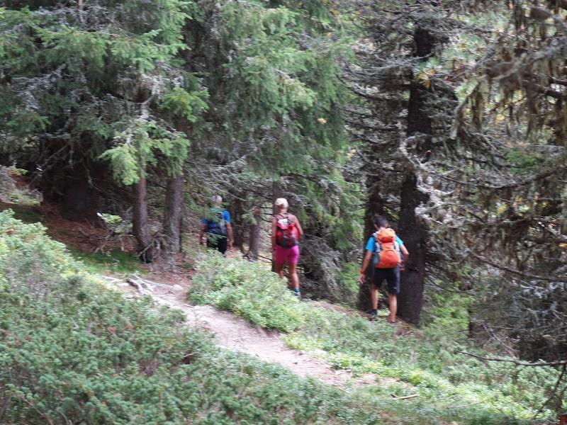
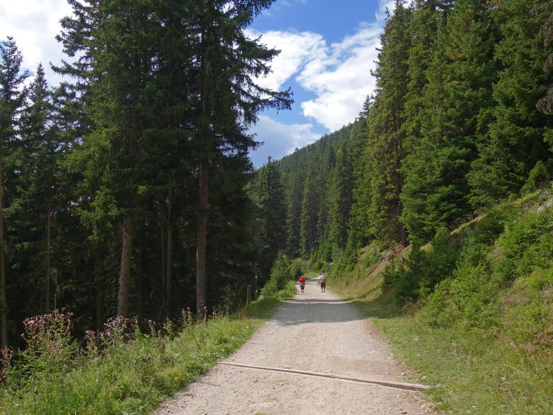
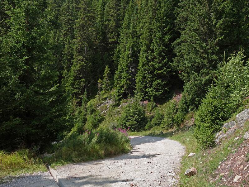
Trail no. 31 begins as a forest road before turning into a footpath that leads up through the woods towards the Brunnerwiesen meadows. The path then branches off to the right and climbs up to the Monte Luta. Once at the summit, we find ourselves at 2,145 metres a.s.l. and can enjoy the view of the surrounding mountains. The route continues without any major changes in elevation.
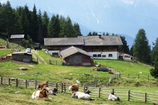
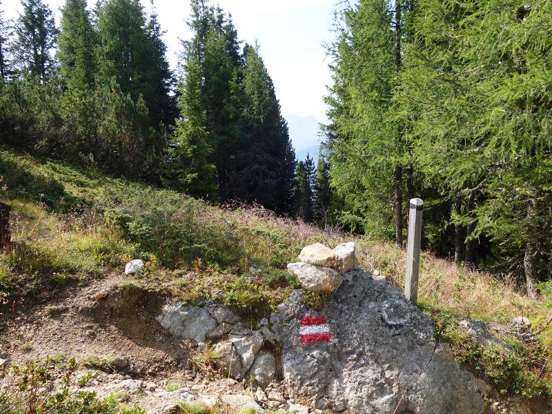
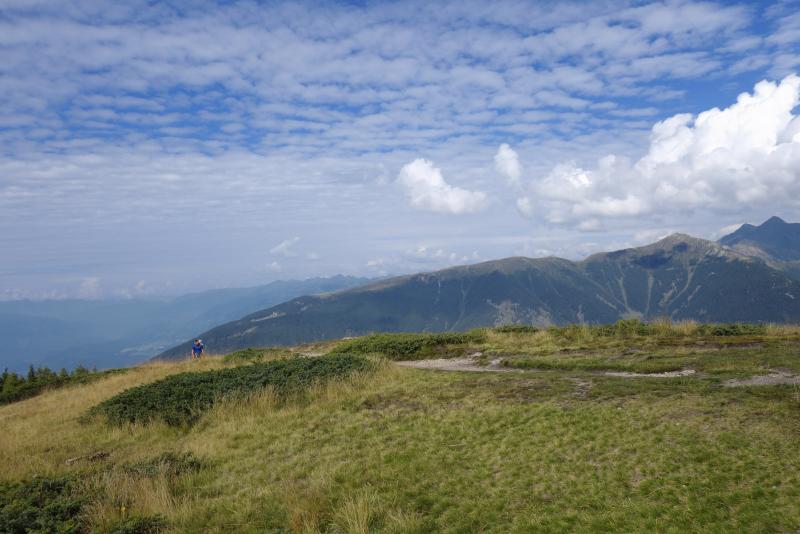
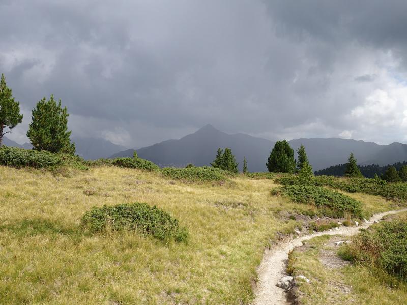
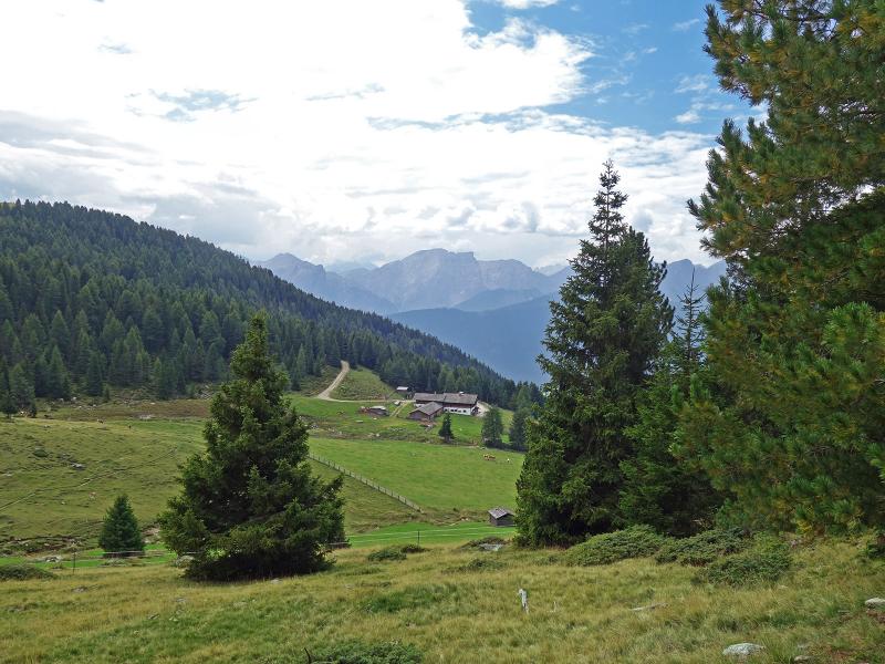
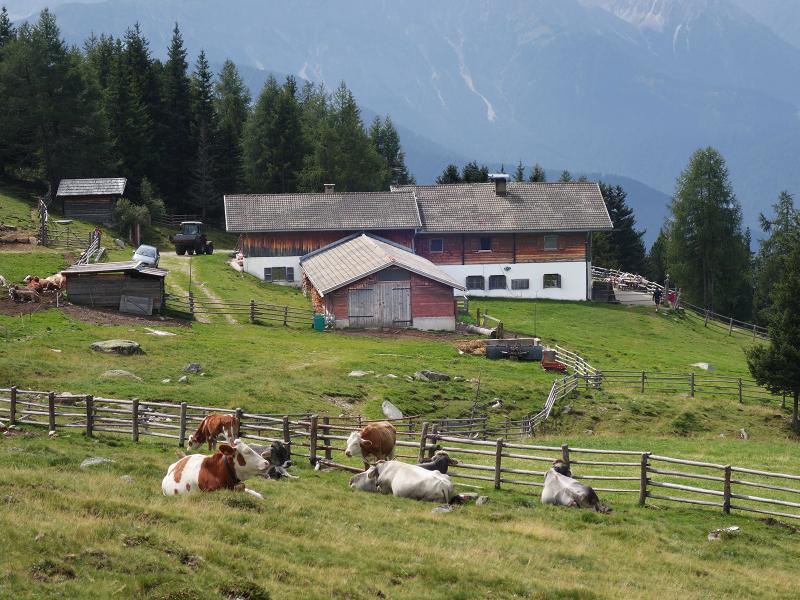
Walking across the ridge and continuing to follow trail no. 31, we soon reach the Alpe di Tesido after a short descent on trail no. 33. Following a quick refreshment, we hike further along trail no. 38A. This means we have already started our journey back, and we soon reach the Mudler car park once again. It serves South Tyrolean specialities accompanied by a panoramic view.
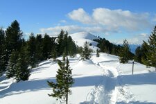
If you wish to extend this circular hike slightly, you can continue ascending from the Monte Luta to the 2,275-metre-high Monte Salomone peak. From there, you can return to the starting point via the Alpe di Tesido. This route is also highly enjoyable as a two-peak snowshoe hike in winter.
Author: AT
Experienced: September 2019
Last updated: 2026
-
- Starting point:
- parking space above the Mudler mountian inn in Tesido (1,632 m a.s.l.)
-
- Overall time:
- 03:30 h
-
- Total route length:
- 9,9 km
-
- Altitude:
- from 1.632 m to 2.145 m
-
- Altitude difference (uphill | downhill):
- +558 m | -558 m
-
- Route:
- Mudler parking space - Monte Luta - Alpe di Tesido - Mudler parking space
-
- Signposts:
- no. 31, 33, 38, 38A
-
- Destination:
- summit of the Monte Luta (2,145 m a.s.l.)
-
- Resting points:
- Alpe di Tesido Hut, Mudler mountain inn (both from May to October)
-
- Recommended time of year:
- Jan Feb Mar Apr May Jun Jul Aug Sep Oct Nov Dec
-
- Download GPX track:
- Hike to the Monte Luta mountain
-
- More information:
- The overall time shown above refers to the walking time only, not including breaks or stops.
If you want to undertake this hike, we recommend checking the weather and trail conditions in advance and on site before starting this hike!