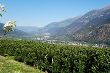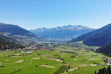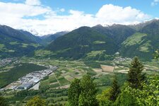
Apple trees and glaciers: The Val Venosta stretches for 80 kilometres from the Merano area to the Passo Resia
Image gallery: Val Venosta


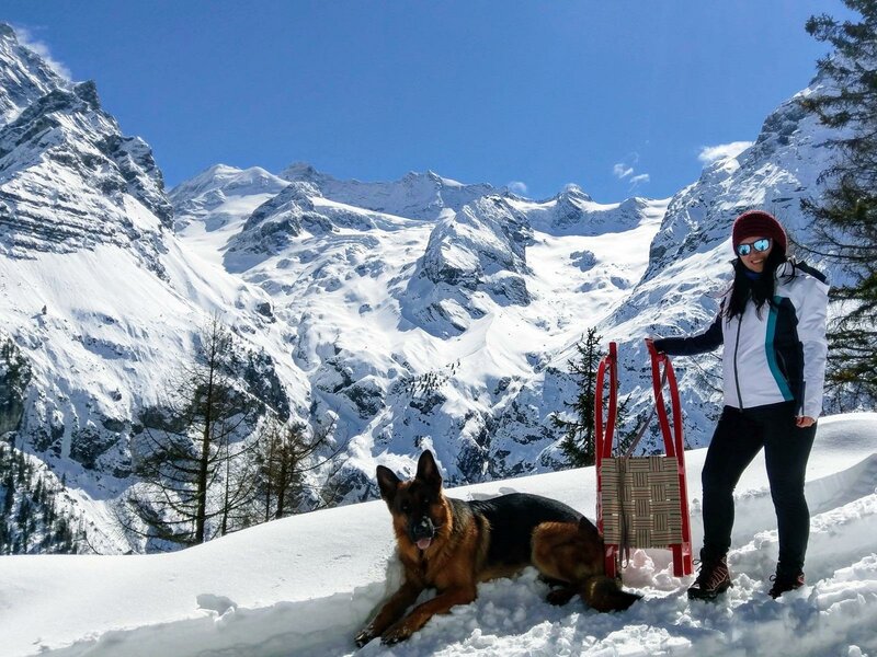

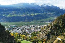
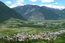
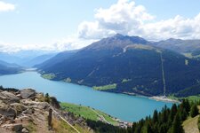
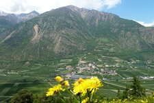
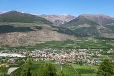
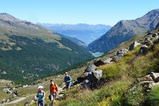
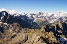
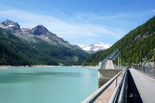
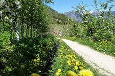
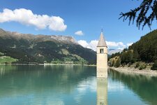
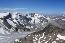
In the west of South Tyrol, the Val Venosta runs from Naturno to the Resia Pass, where the Adige River rises and a sunken church tower juts out of the water. A valley full of contrasts: here apple orchards and apricot trees, there rugged peaks and glaciated three-thousanders - above all, the highest peak in the Autonomous Province of Bolzano and the Tyrol region, King Ortles.
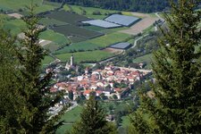
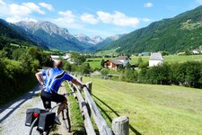
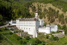
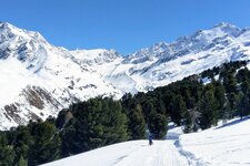
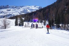
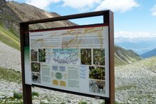
Whether it's a discovery hike in the Stelvio National Park around the highest drivable mountain pass in Italy, a visit to the Monte Maria Abbey, a walk along the centuries-old Waalwege paths, or a coffee in a historic village centre - how you shape your holiday is up to you. Far from the hustle and bustle, snow-sure ski resorts in secluded high valleys like Solda enrich the winter season.
Mobility - Val Venosta Railway, April 2026:
Rail services in the Val Venosta have resumed on a limited basis. Trains are currently running every two hours on the Merano - Lasa section. A few services in the morning… read more