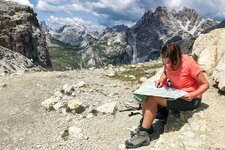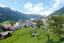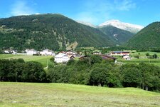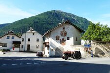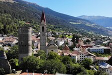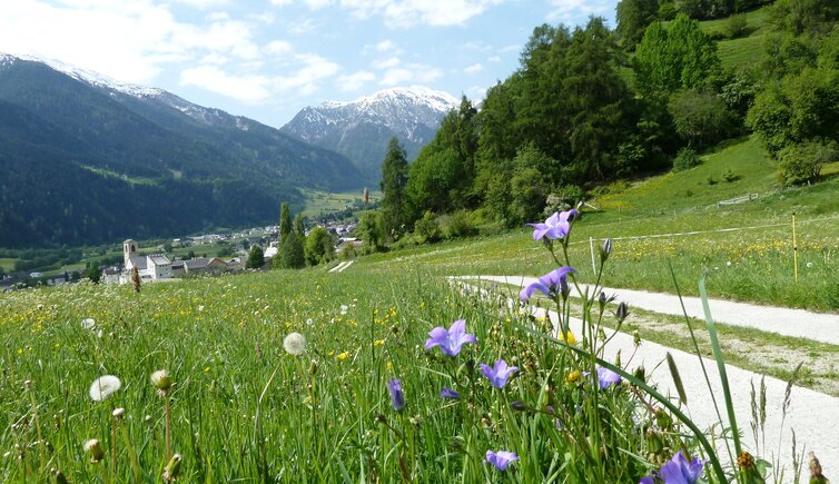
Starting from Müstair at the Swiss border, we walk to Tubre and past the castle ruin of Rotund, through larch forests and rocky dry slopes finally we reach Laudes near Malles
Image gallery: Hours’ Trail, stage 1: Müstair - Laudes


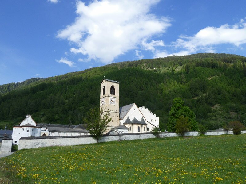
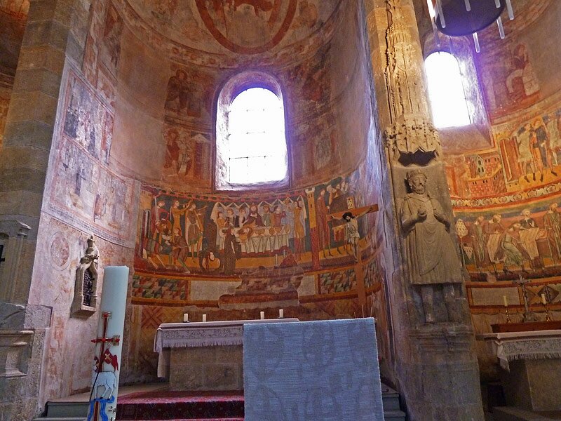
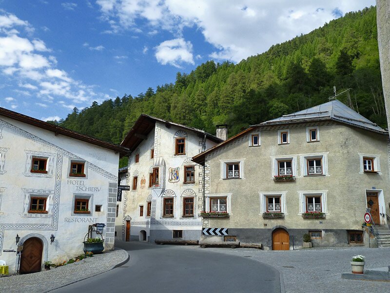
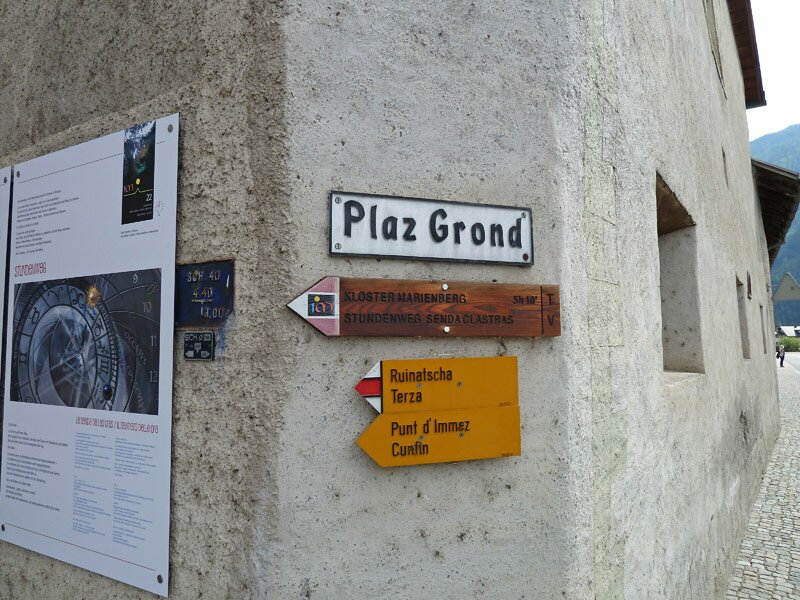
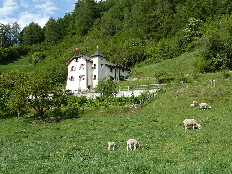
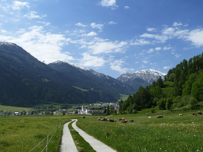
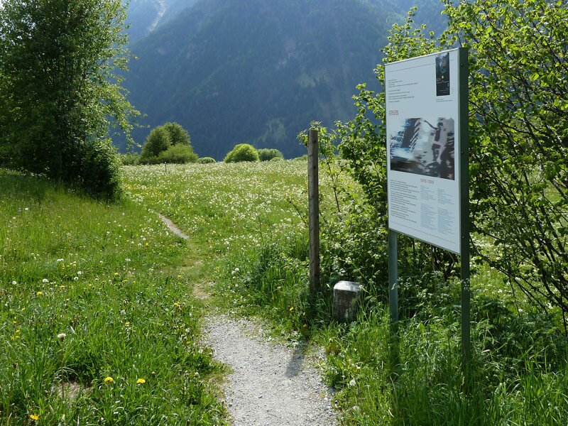
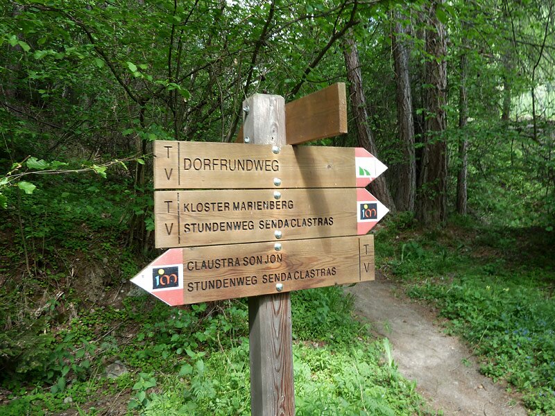
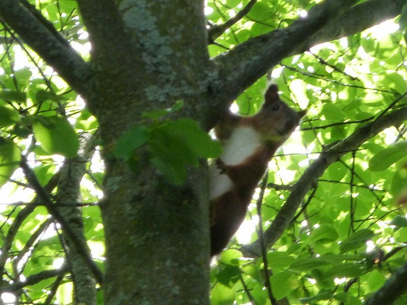
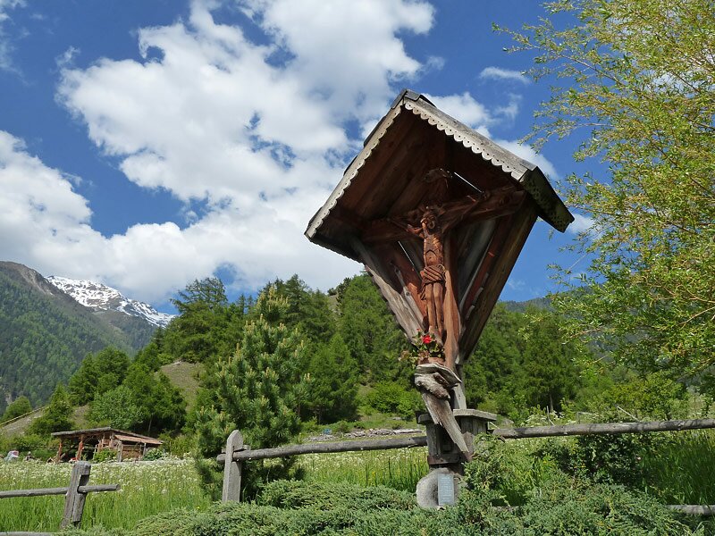
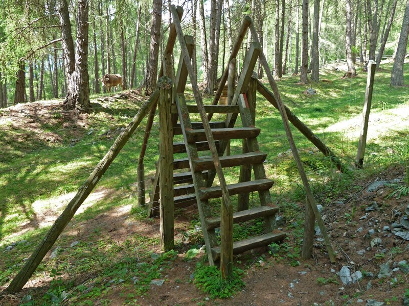
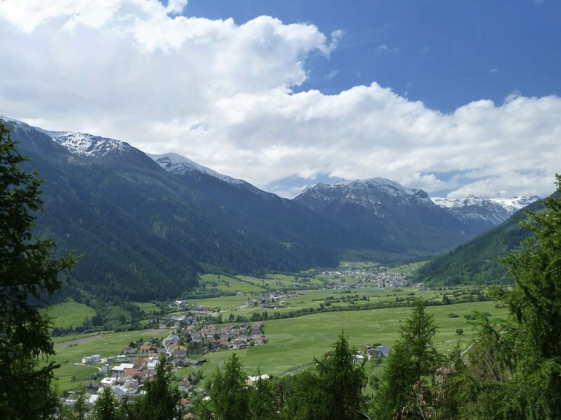
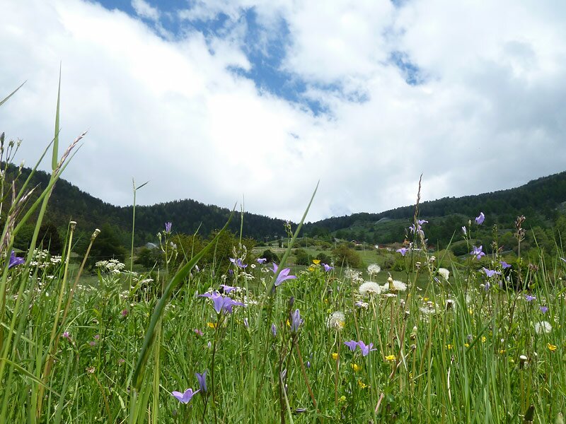
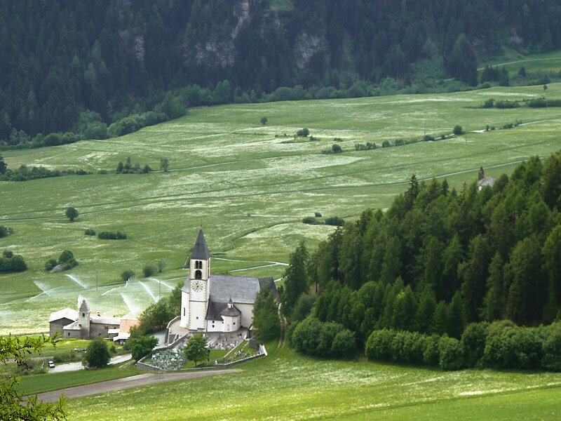
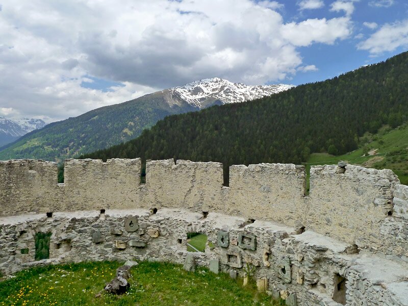
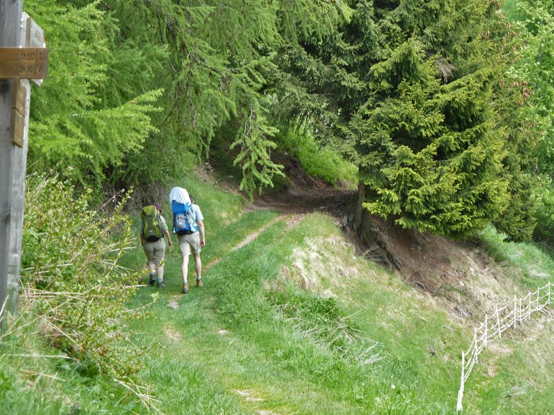
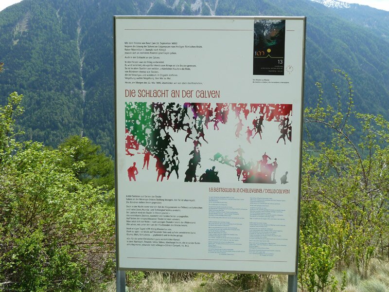
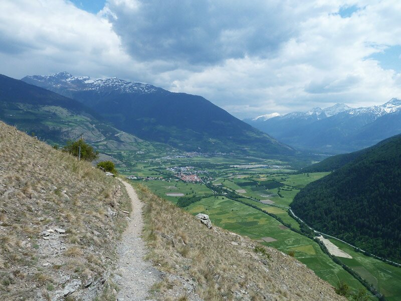
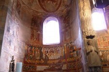
From Malles in Val Venosta (station) we take the Swiss Postbus driving through the Val Monastero valley across the border to Müstair. After a visit of the monastery Son Jon (St. John), founded by Charlemagne in 775 AD cand featuring beautiful frescoes of the Carolingian period, we walk out of the village across the Plaz Grond. The path leads across lush meadows covered by flowers to Tubre in Val Monastero (Taufers im Münstertal). The border is traversed unnoticed, the only thing we become aware of is that the signposts are now in German, no longer in Romansh, so we reached Italy. Short before reaching the village of Tubre, the signpost indicates the way up, through the forest we reach an an altitude of 1,500 m a.s.l.
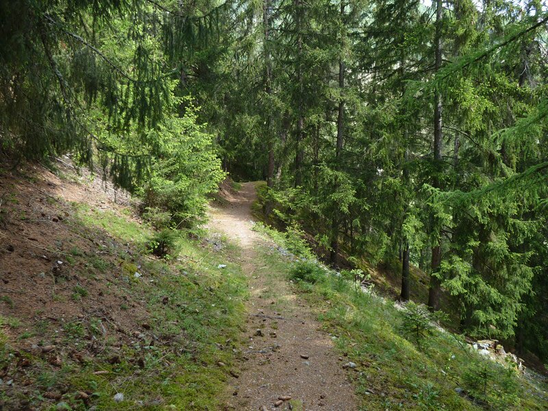
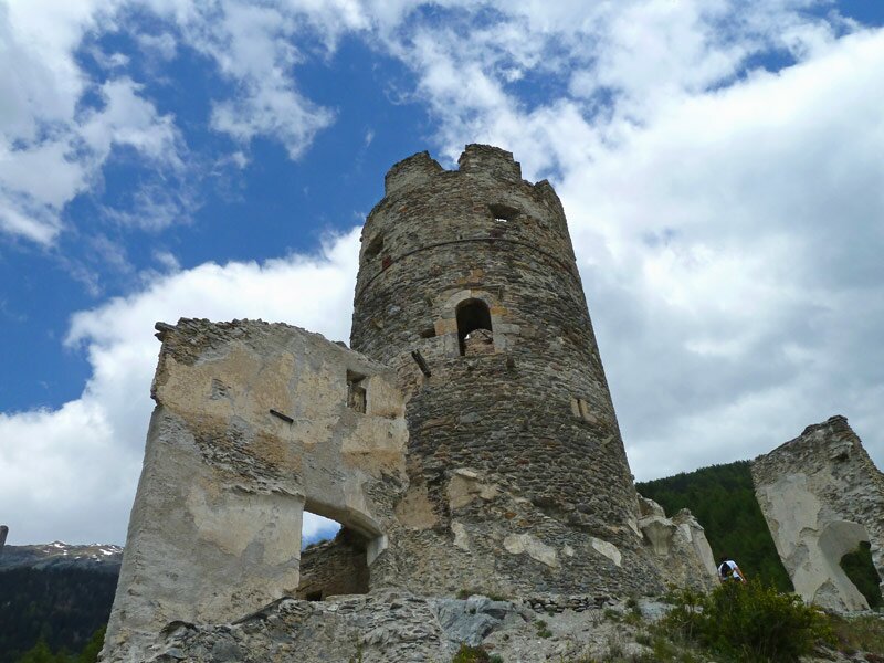
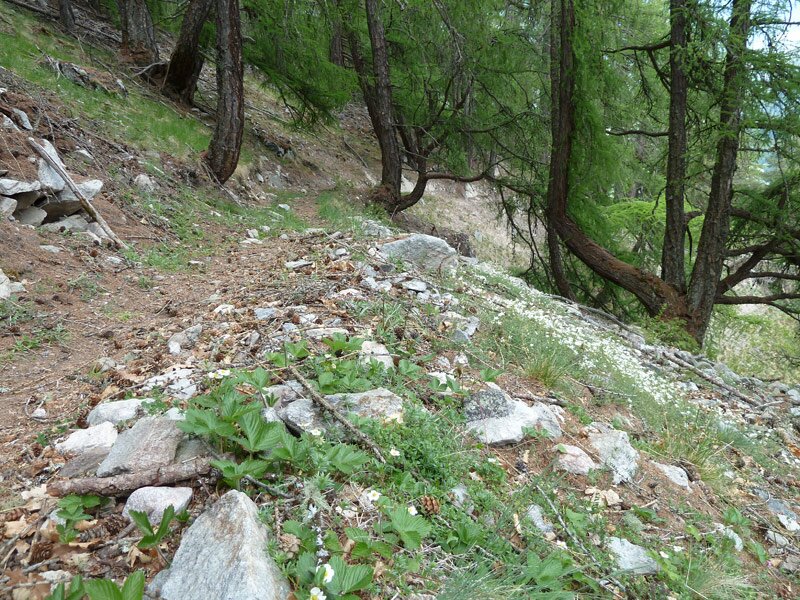
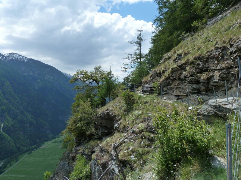
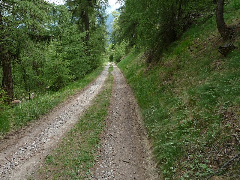
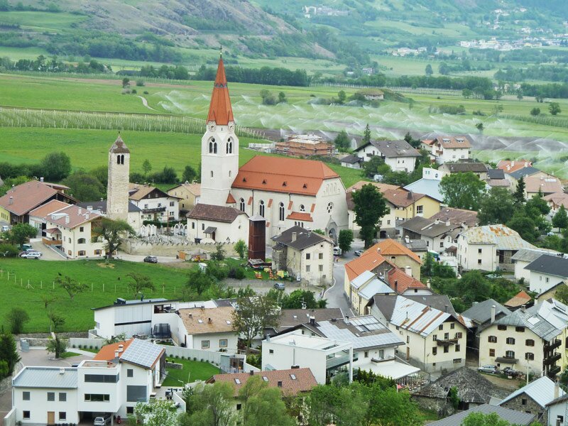
The larch forest characterises the landscape for a little while now. Across the meadows of the Rio Tel, we proceed to the castle ruin of Rotund, a place where you can enjoy a great view on the path we walked so far and the Engadine Alps, as well as the upper Val Venosta between Glorenza and Malles up to the Oetztal Alps. The following section is a rather narrow path that proceeds up and down, across larch forests and a dry steppe landscape and the rocks on the slope. Above Laudes (Laatsch), the trail joins a forested trail that proceeds towards the village in serpentines. From this place it is only a short walk to the station of Malles. First section easy, next section on the slope of medium difficulty, walk down easy. After Tures, there is no possibility to stop for lunch, for this reason we recommend you to bring your packed lunch.
Please note: Due to rockfall and the constant risk of rockfall the section from Müstair to Laudes has been permanently closed! Only the section from Laudes to Monte Maria (Burgusio) is open.
Author: AT
-
- Notice:
- The route is not passable
-
- Starting point:
- monastery Son Jon in Müstair (CH) - can also be reached by the Schweizer Postbus starting from the station of Malles
-
- Overall time:
- 04:00 h
-
- Total route length:
- 12,5 km
-
- Altitude:
- from 975 m to 1.523 m
-
- Altitude difference (uphill | downhill):
- +400 m | -664 m
-
- Signposts:
- Stundenweg - Senda clastras, 10B
-
- Recommended time of year:
- Jan Feb Mar Apr May Jun Jul Aug Sep Oct Nov Dec
-
- Download GPX track:
- Hours’ Trail, stage 1: Müstair - Laudes
If you want to undertake this hike, we recommend checking the weather and trail conditions in advance and on site before starting this hike!