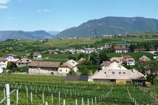
This tour makes us cycling across the rough terrain from the Big Monticolo Lake to the village of Frangarto
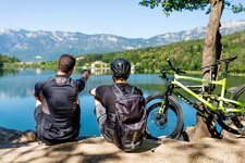
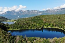
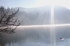
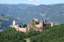
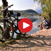
Image gallery: MTB tour through the Monticolo Forest
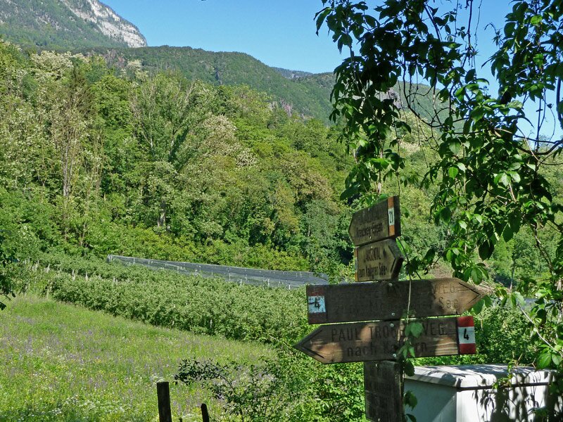
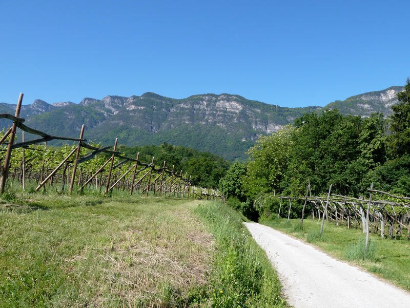
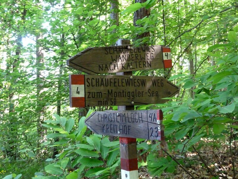
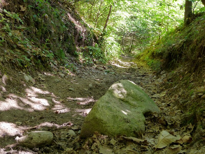
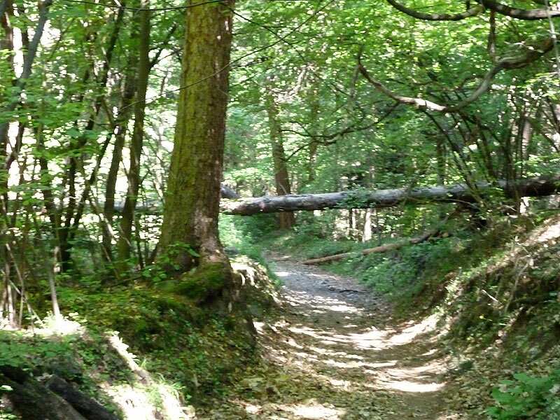
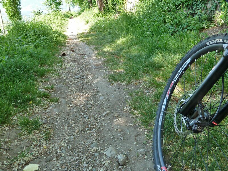
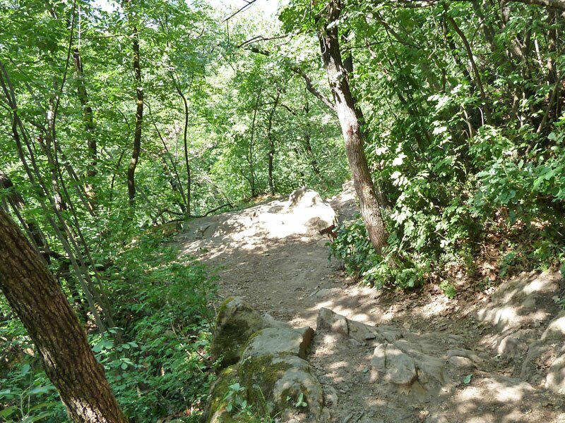
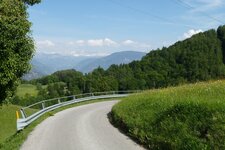
Our cycling tour starts at the way of the cross in San Michele Appiano, from where we continue towards the Valle Lavason on the asphalted cycling route to the crossing "Altenloch“. This is where we take the trail number 4 (Schäufelwies), leading us the way towards the Monticolo Lakes across the broad-leaf forest. The trail can be done by every mountain biker and only overcomes a remote altitude difference, nevertheless the trail is rough and takes across country.
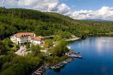
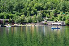
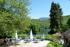
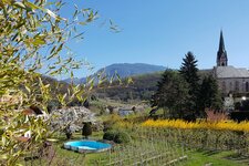
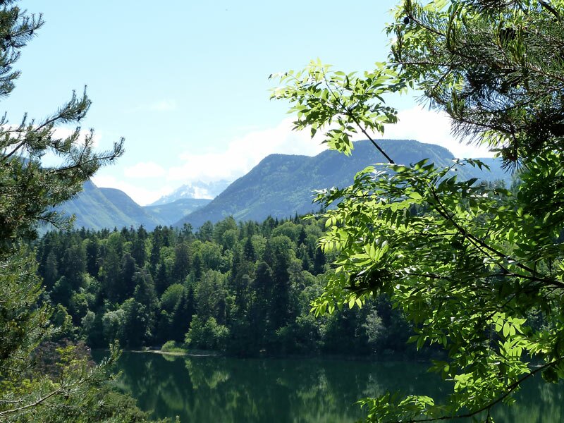
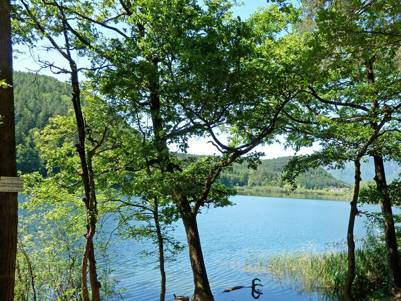
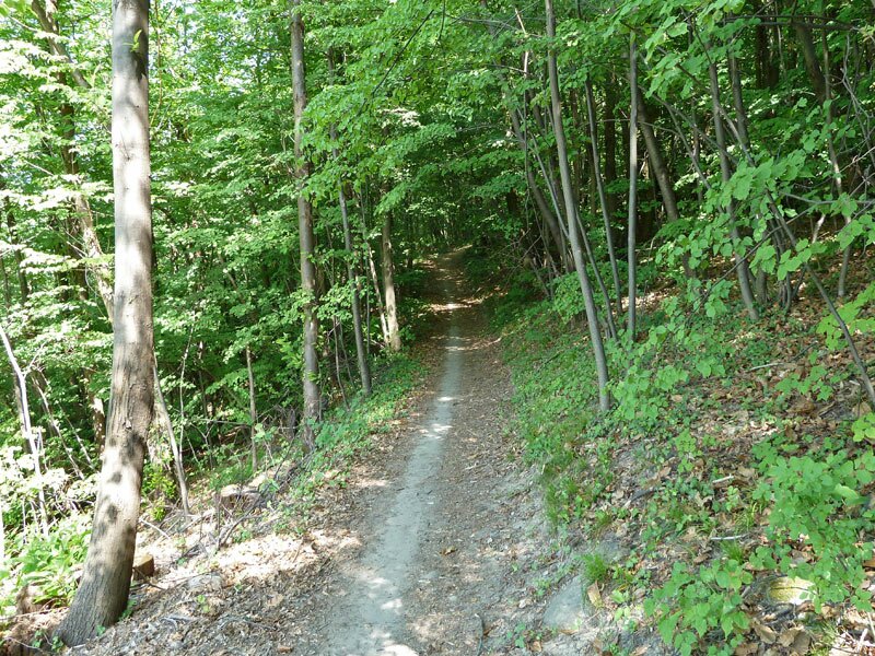
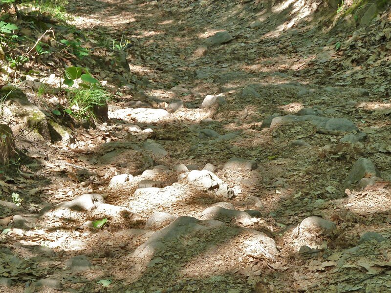
The starting point is located at the lake of Monticolo. From this place we take the trail 1A, leading to the romantic little lake of Monticolo. We follow the trail no. 1 towards the “Wilder Mann Bühel” on a wide forested trail. After 1.5 km of comfortable cycling, the rough ground returns: the signpost no. 1 leads us to a rocky trail towards to the left. Grit your teeth and get to it! After a few hundred metres the trail starts getting easier again. Forested road and asphalted road take us to Colterenzio near Cornaiano, from where we reach Ponte Adige via the trail no. 1.
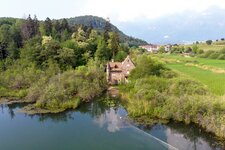
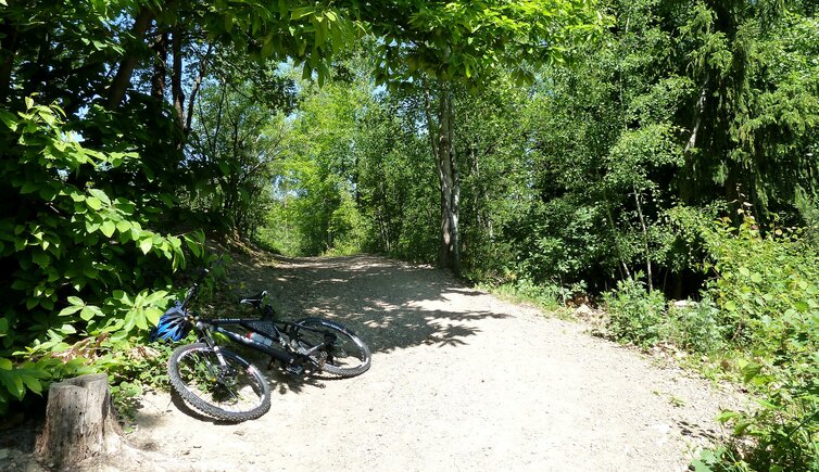
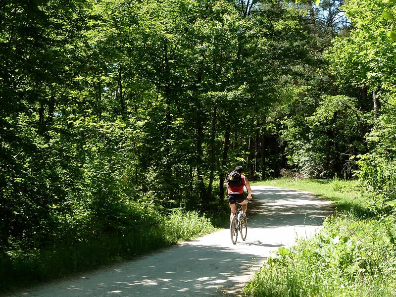
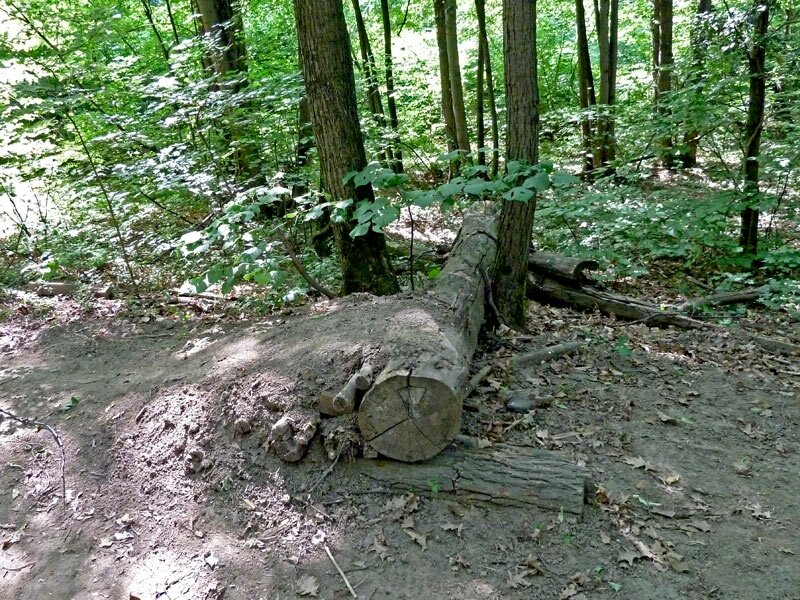
At the Marklhof the asphalt ends and an interesting forested trail leads to the Monte di Mezzo mountain. Particularly interesting, as there are some little highlights for cyclists such as ramps. Be cautious, as there are also hikers on the trails. The trail leads from the parking space of Firmiano Castle towards Frangarto. There we take the cycle path which leads us back to San Michele.
Author: AT
-
- Starting point:
- way of the cross at S. Michele/Appiano
-
- Overall time:
- 02:30 h
-
- Total route length:
- 19,4 km
-
- Altitude:
- from 262 m to 579 m
-
- Altitude difference:
- +433 m | -433 m
-
- Route:
- Kreuzweg - Lavason valley - Schäufelewies - Lakes of Monticolo - Colterenzio - Marklhof - Sigmundskron Castle (Firmiano) - cycle track Überetsch/Oltradige
-
- Track surface:
- asphalted road, forest trail, gravel road
-
- Recommended time of year:
- Jan Feb Mar Apr May Jun Jul Aug Sep Oct Nov Dec
-
- Download GPX track:
- MTB tour through the Monticolo Forest
If you want to do this tour, we suggest you to check the weather and trail conditions in advance and on site before setting out.