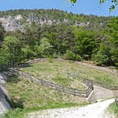
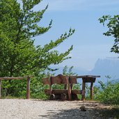
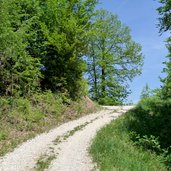
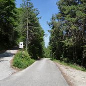
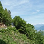
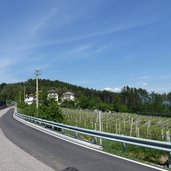
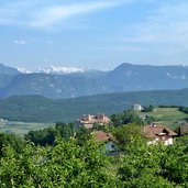
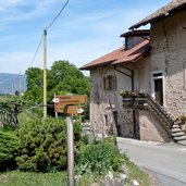
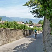
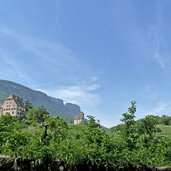
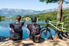
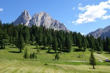
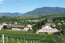
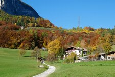
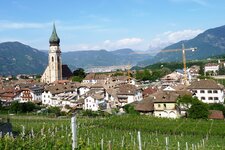
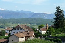
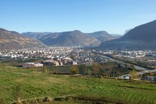
This circular tour takes along the steep slopes of the Mendola on forested trails and hardly trafficed roads at about 1,000 m a.s.l
Image gallery: MTB tour on the Appiano High Route
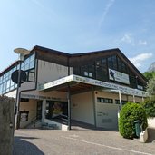
Starting point of our tour is San Michele Appiano. At the ice stadium, we directly proceed to the Calvario hill, where the way up starts right at the forest: the panorama trail on the Calvario mountain is the first short passage that we have to face (please respect promenaders on the paths). Behind the Calvario Church we proceed towards the Steinegger tavern, cycling along asphalted roads. This is where the mountain bike tour actually starts.
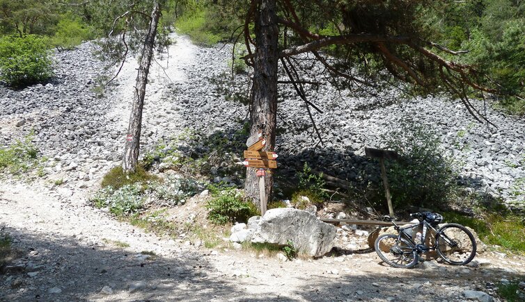
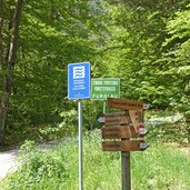
We keep following the trail no. 7 until the forest starts. Short before the bridge takes over the river, we take the steep trail "Furglau". Merciless the trail becomes steeper and steeper, in the end we have to push our bicycle. The combination of slippery soil and steeply ascending trail leaves us no alternative. Finally we reach the crossing under the debris cone, finally we can start cycling. In northern direction we proceed along a forested trail stretching parallel to the Appiano High Route, without ascend, then with a little drop, later on downwards. Instead of proceeding to Gaido, we follow the signposts to Buchwald (last section on asphalted road).
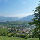
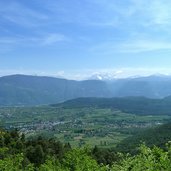
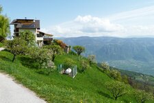
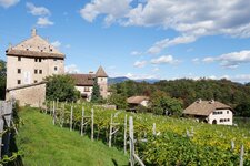
The (permanently closed) tavern is situated in the middle of a meadow in full blossom and provides a great view on Bolzano and the Dolomites. The way down proceeds on asphalted road to Kreuzstein and the mountain road of Appiano down to San Michele. Before reaching Freudenstein Castle, we turn right and proceed on the Via Masaccio towards the Steinegger, proceed across the forest on the trail 540 down to Palù Castle, pass the castles of Pigeno and finally reach San Michele. A great tour with an exhausting way up at the beginning and long, re-creative passages with a great view to follow. The Appiano High Route can be done also as a 3-hour hike.
Author: AT
-
- Starting point:
- San Michele Appiano (village centre)
-
- Overall time:
- 03:10 h
-
- Total route length:
- 18,0 km
-
- Altitude:
- from 420 m to 1.047 m
-
- Altitude difference:
- +818 m | -818 m
-
- Route:
- San Michele - Gleif - Steinegger - Forcolana - Alta via - Buchwald - Kreuzstein - Englar - San Michele
-
- Track surface:
- asphalt, gravel roads (6 km forested trails)
-
- Recommended time of year:
- Jan Feb Mar Apr May Jun Jul Aug Sep Oct Nov Dec
-
- Download GPX track:
- MTB tour on the Appiano High Route
If you want to do this tour, we suggest you to check the weather and trail conditions in advance and on site before setting out.
