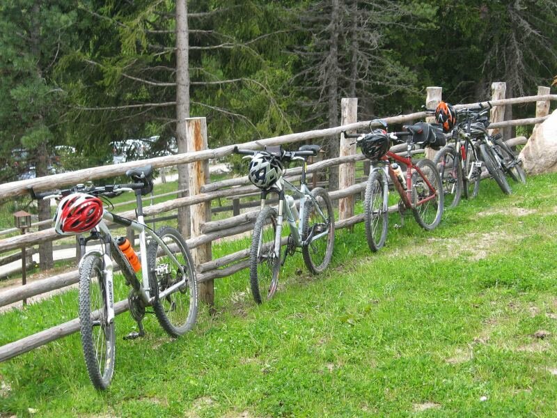
This MTB tour leads us from Chiusa via San Maurizio and Villandro to the Alpe di Villandro: For this trip good fitness is a must
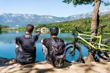
Image gallery: MTB tour to the Alpe di Villandro
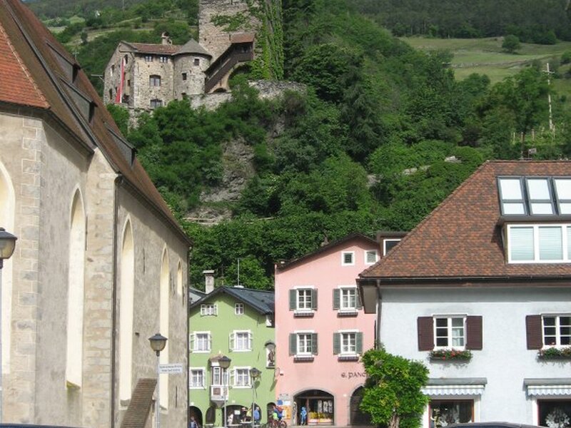
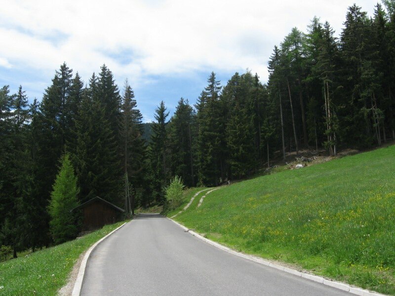
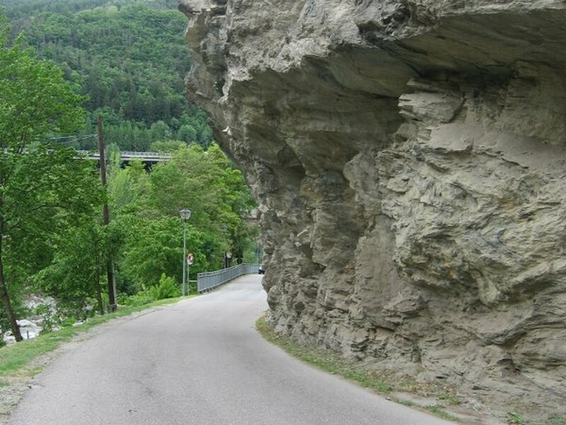
Our starting point is the train station of the town of Chiusa. We cycle through the village centre and turn off left, onto the bike way towards Ponte Gardena which we follow for about 4 km towards south. At the level of the business park "Kalter Keller" we cross the state road, from here we have to cycle constantly uphill. We follow the marker "San Maurizio" (780 m a.s.l., distance 2.5 km) and leave the basin of the Valle Isarco below us. Only few cars drive this road, we can enjoy the view.
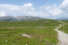
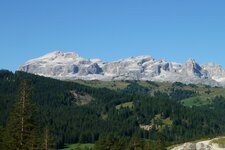
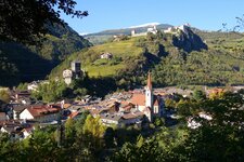
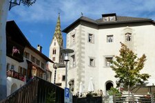
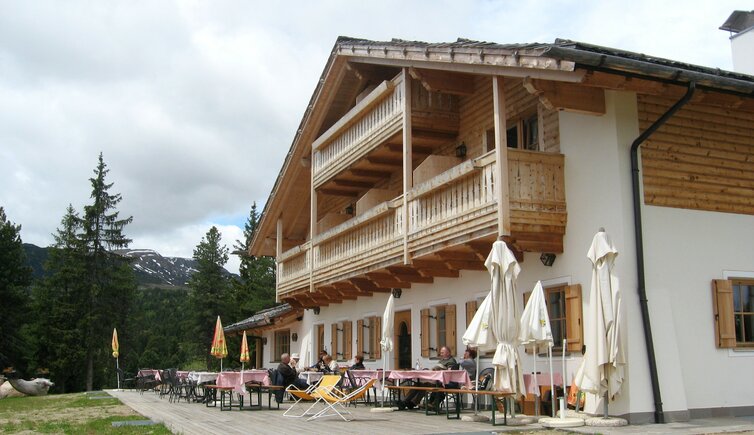
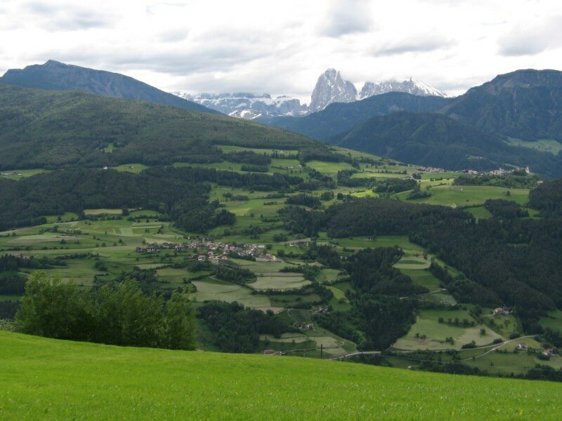
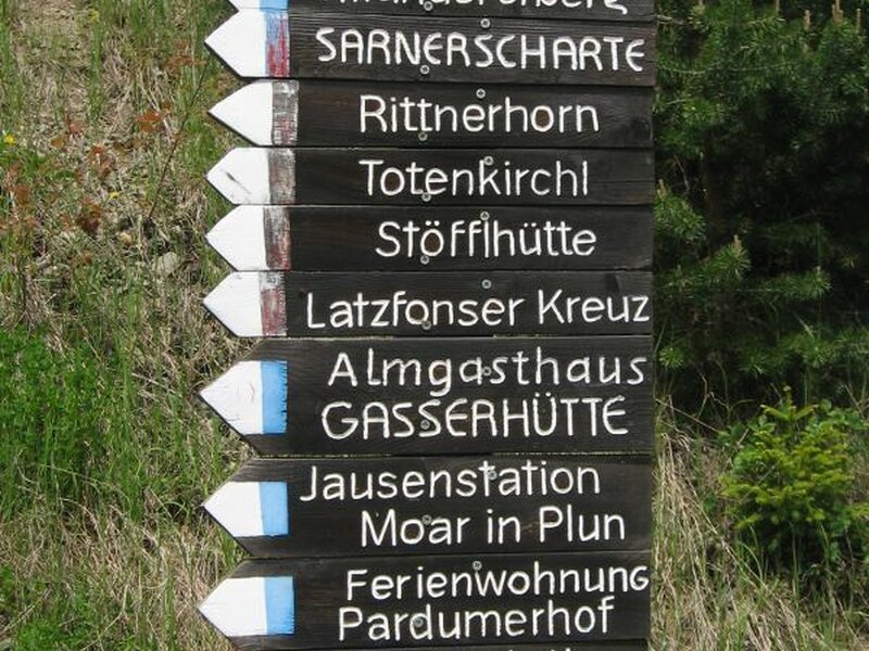
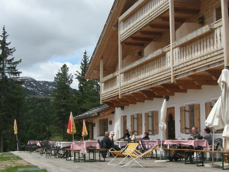
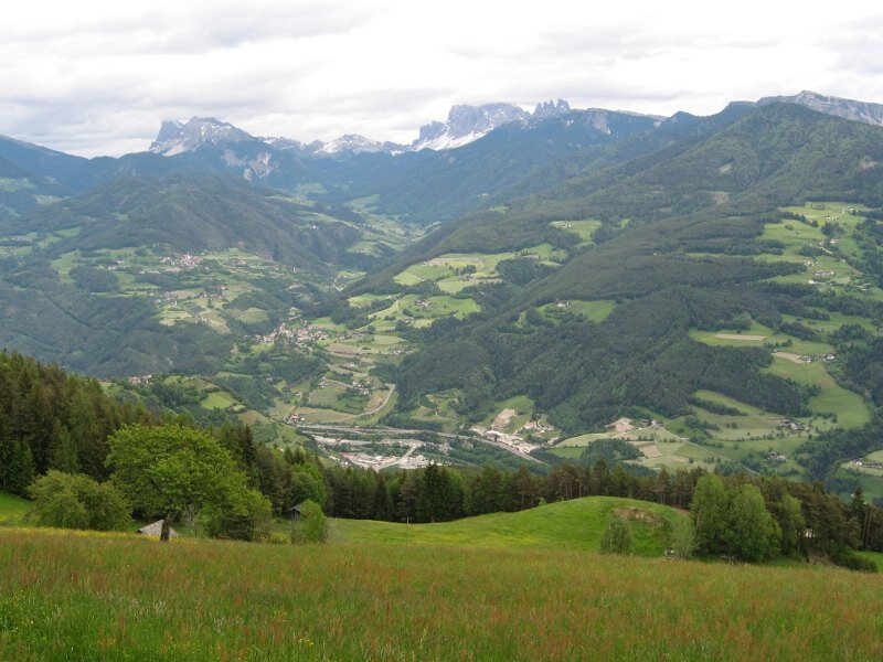
Soon we reach Santo Stefano, the main village of Villandro, where we follow the marker "Alpe di Villandro" and "Gravetsch". We always proceed on the asphalt road and enjoy a fantastic view on Mt. Sassolungo, Mt. Sasso Piatto and the Sciliar. We arrive at the Samberger Farm at 1,530 m a.s.l. where plenty of hiking paths to the Villandro Alp start. A short steep section follows, then the path becomes flatter. Approx. 200 m in altitude we have to manage to reach the Gasser Mountain Hut, our goal for today. Past the parking space we finally reach the mountain hut at 1,744 m a.s.l. The Gasser Mountain Hut is starting point for plenty of mountain hikes on the Alpe di Villandro. Moreover the mountain hut offers a fantastic sun terrace with a gorgeous view on the Sella Group.
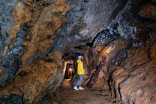
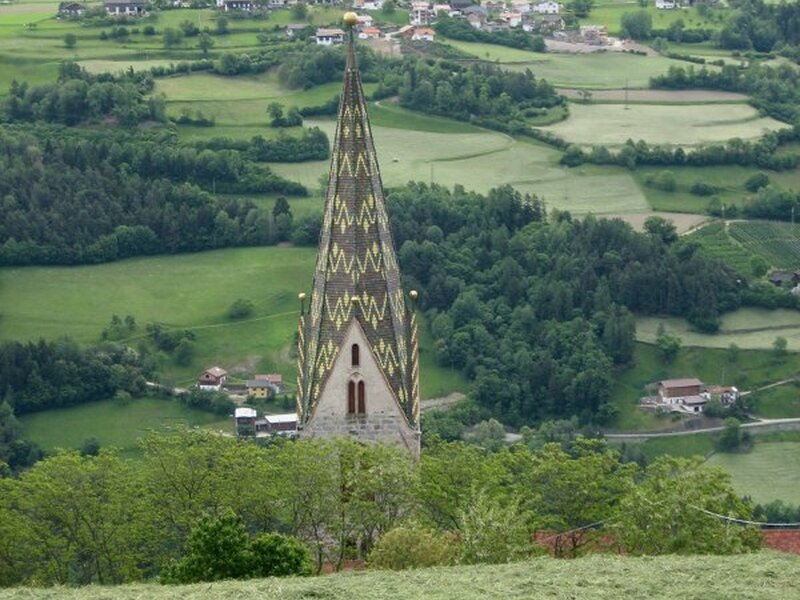
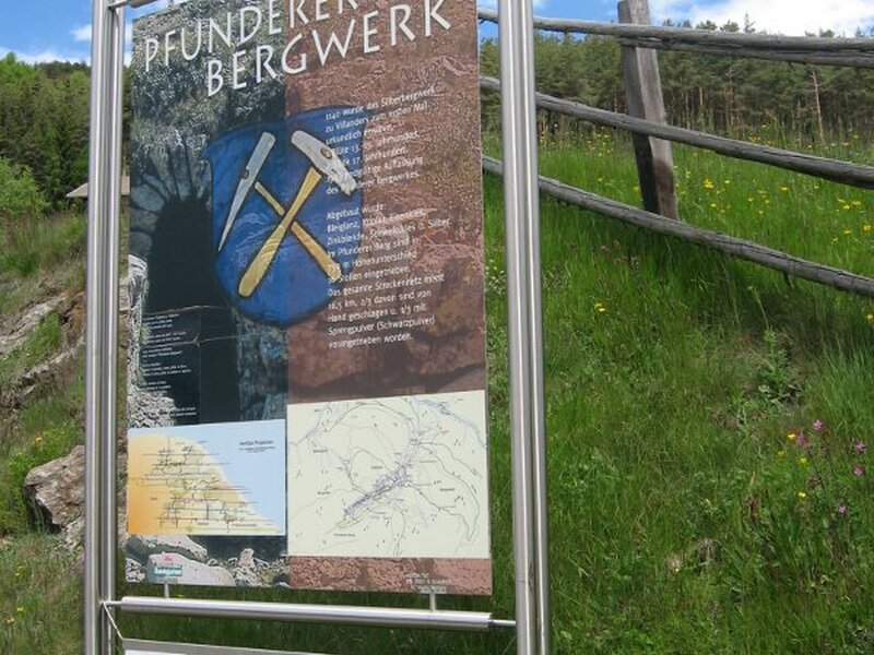
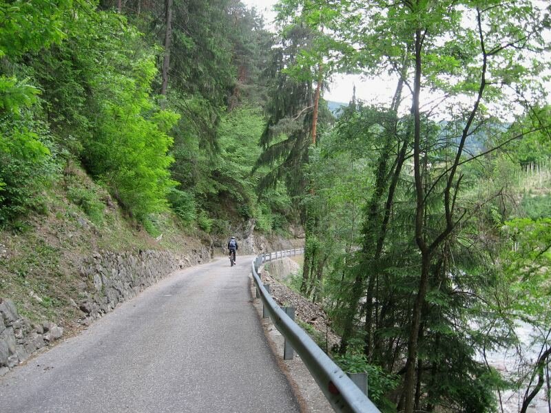
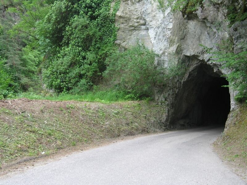
There are different possibilities to go back now: the same way we came, or the route via the small St. Anna Church (turn off at the curve to the Villandro Silver Mine and follow the sings through the wood). Via a forest road we finally reach the impressive and narrow Tinne Valley which winds until the centre of Chiusa. Highly recommended! This tour is not demanding in technique but requires top fitness. On the Villandro Alp there is also the possibility to extend the tour, e.g. to the "Sella dei Sentieri" (Gasteiger Sattel) and descent via Barbiano.
Author: BS
-
- Starting point:
- Chiusa
-
- Overall time:
- 03:50 h
-
- Total route length:
- 20,3 km
-
- Altitude:
- from 505 m to 1.749 m
-
- Altitude difference:
- +1292 m | -65 m
-
- Route:
- Chiusa - San Maurizio - Villandro - Gasser Mountain Hut
-
- Track surface:
- asphalt
-
- Recommended time of year:
- Jan Feb Mar Apr May Jun Jul Aug Sep Oct Nov Dec
-
- Download GPX track:
- MTB tour to the Alpe di Villandro
If you want to do this tour, we suggest you to check the weather and trail conditions in advance and on site before setting out.