Demanding MTB tour in the south of South Tyrol with fantastic view on the Swiss, Austrian and Italian Alps
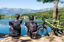
Image gallery: MTB tour to Mt. Roen and the Giogo di Corona
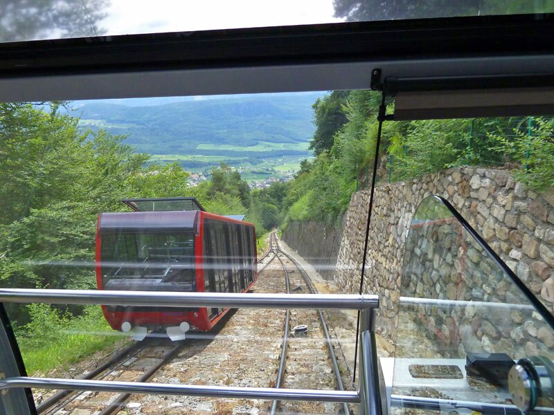
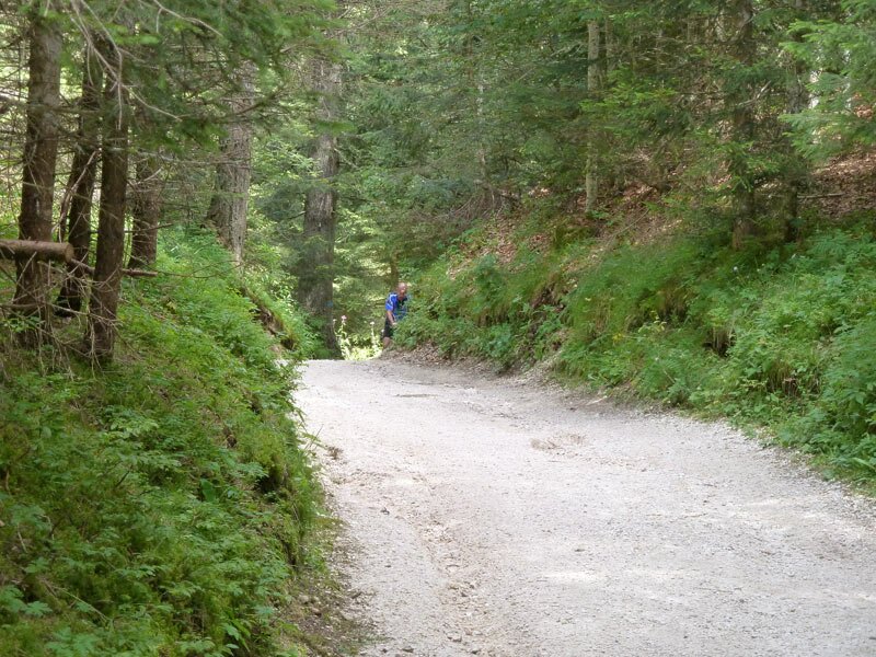
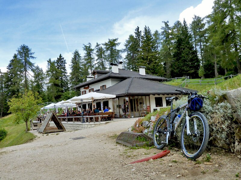
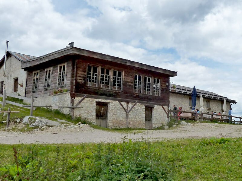
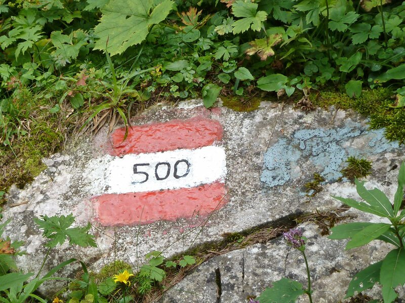
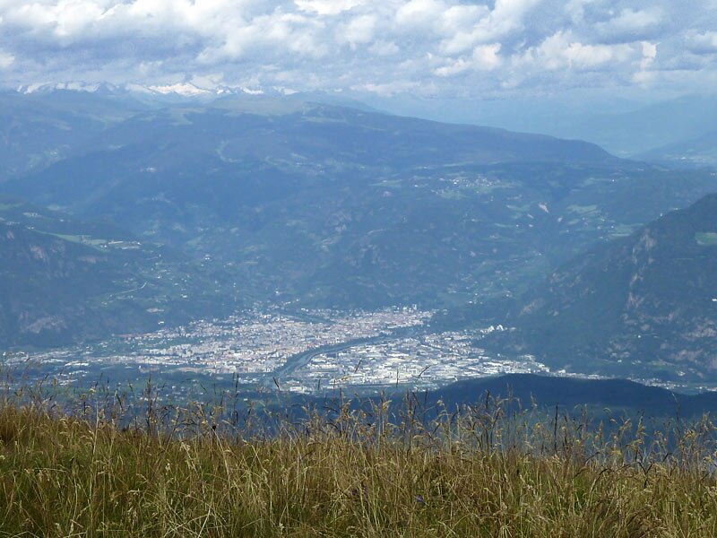
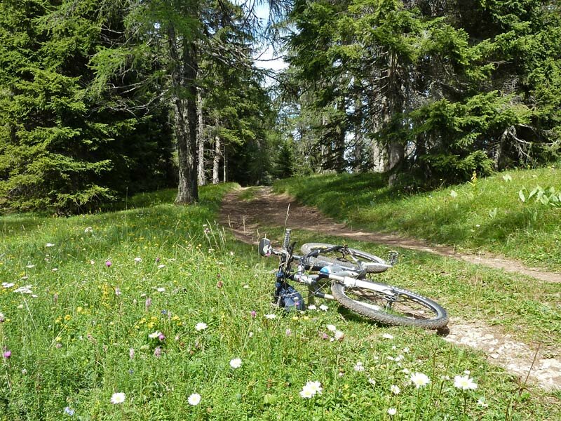
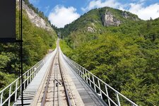
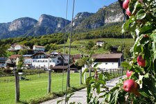
The Mendola packs a punch: The highest point of it, the Monte Roen mountain, indeed is "only" 2,116 m high, but this tour is rich in variety, gorgeous ascents and descents but also parts to wheel and to carry can be experienced. Our starting point is the valley station of the Mendola Funicular in Sant'Antonio di Caldaro. Due to the fact that it is weekend, plenty of bikers will choose the Mendola Road today, so we want to spare this section and enjoy the venerable funicular which also transports our bicycles. Arrived at the top we follow the marker no. 500, which leads us to the Rif. Mezzavia (Halbweg Hut) in 30 minutes. Further we proceed along the comfortable wide forest path to the Romeno Mountain Hut, a rustic cultivated hut at 1,780 m a.s.l.
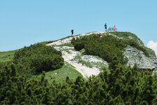
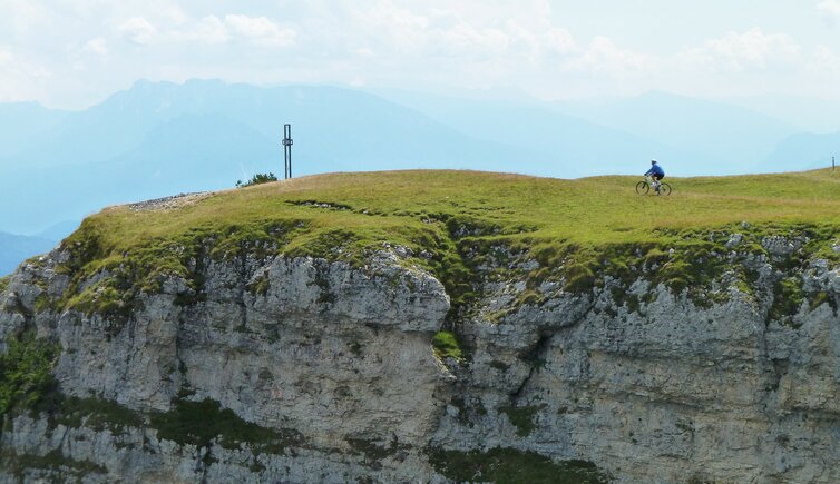
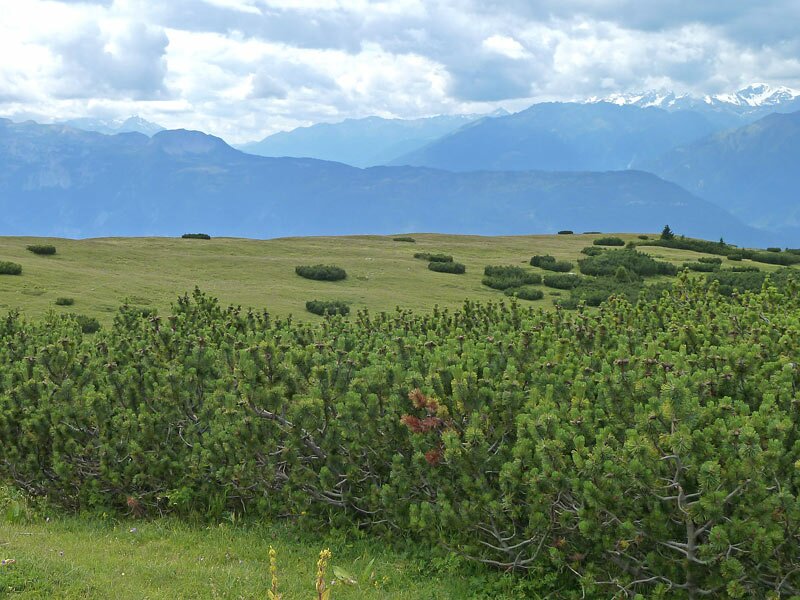
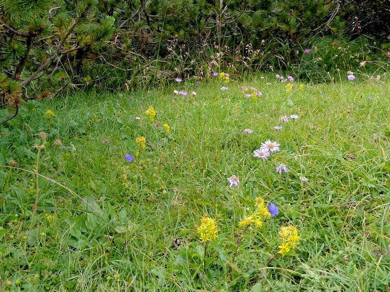
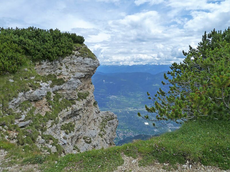
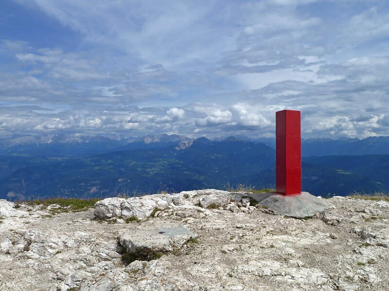
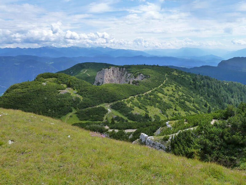
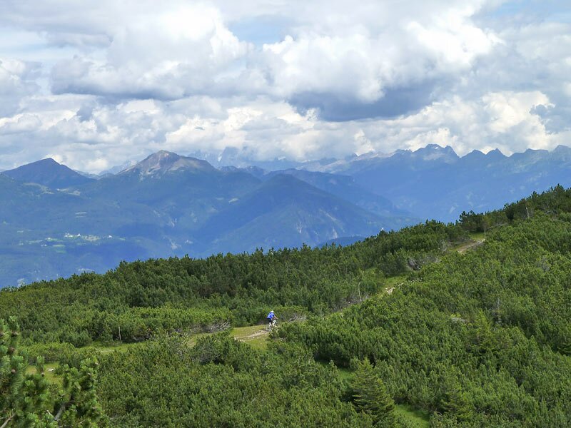
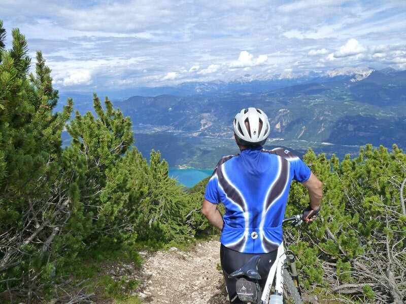
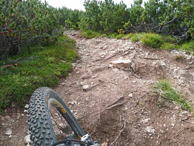
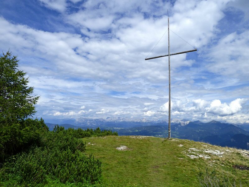
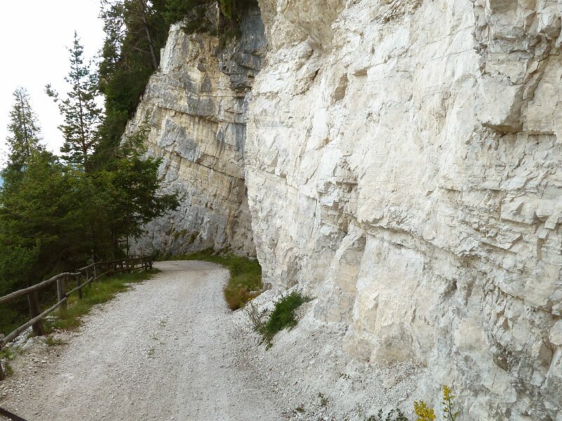
Here cycling is over for the first time. The path no. 500 which proceeds from the Malga Romeno towards the summit of the Monte Roen is steep and has a bad gravel surface. More than half an hour we wheel and carry our bicycles, partly cycling can be managed. Finally the highest point is reached - the peak of the Monte Roen! We left the timberline below us and enjoy a fantastic panoramic view on the Swiss, Austrian and Italian alpine world. After a well-deserved break in the meadow we decide to cycle back via the Giogo di Corona.
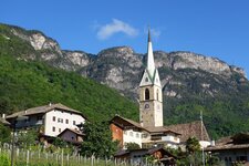
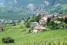
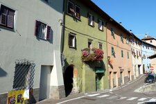
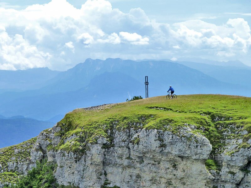
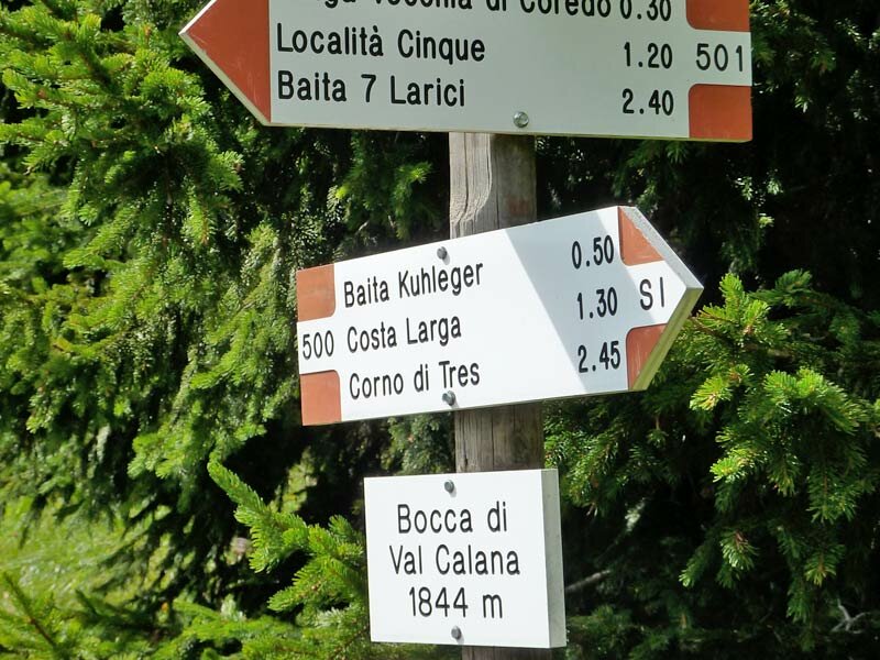
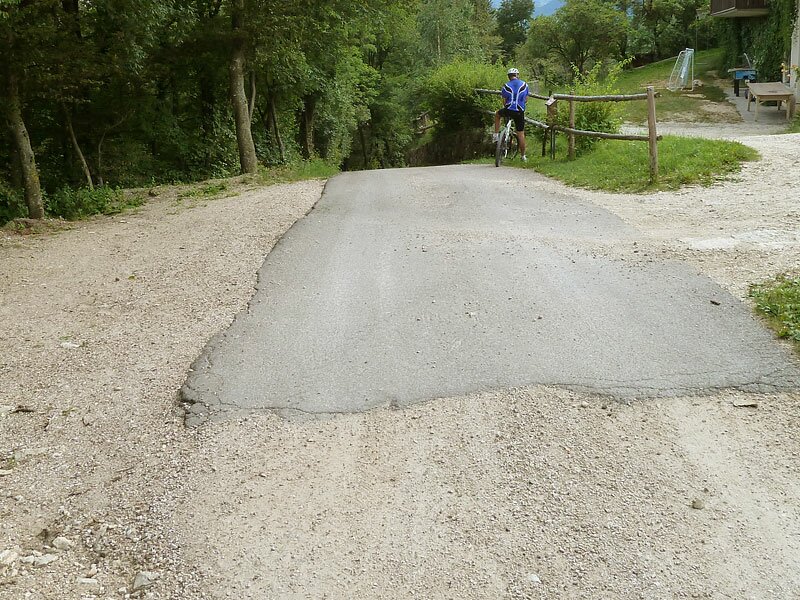
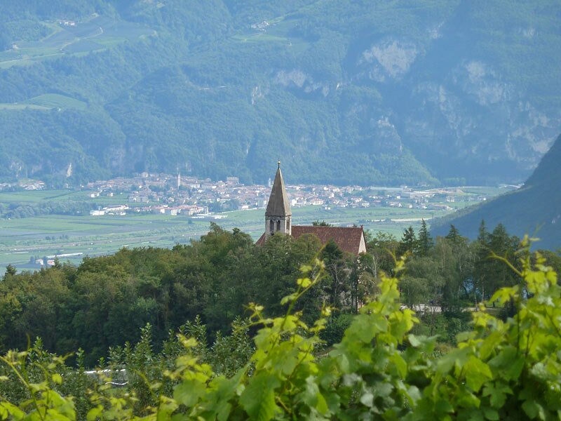
A single trail proceeds until the viewpoint "Verbrenntes Egg" always towards south. At the steepest sections we have to carry our bicycles down, attention - the gravel is slippery! Then we carry on our descent, finally we reach a forest road which leads us to the Giogo di Corona. Here we start an appreciative descent down to the village of Corona (800 m a.s.l.) where we take the road towards Cortaccia and come back to Caldaro via Ronchi, Termeno village and along the Wine Road.
Author: AT
-
- Starting point:
- S. Antonio di Caldaro (valley station Mendola funicular)
-
- Overall time:
- 05:00 h
-
- Total route length:
- 41,0 km
-
- Altitude:
- from 217 m to 2.112 m
-
- Altitude difference:
- +1092 m | -1955 m
-
- Route:
- Passo Mendola - Roen - Testa Nera - Giogo di Corona - Corona - Cortaccia - Termeno - Caldaro
-
- Destination:
- Roen (summit)
-
- Track surface:
- gravel path (forest road), single trail, slippy path, asphalt
-
- Recommended time of year:
- Jan Feb Mar Apr May Jun Jul Aug Sep Oct Nov Dec
-
- Download GPX track:
- MTB tour to Mt. Roen and the Giogo di Corona
If you want to do this tour, we suggest you to check the weather and trail conditions in advance and on site before setting out.