At just under 17 kilometres, the stage from Auna di Sotto to Sant’Ingenuino is the longest, but also the most beautiful of the ”Keschtnweg”
Image gallery: Chestnut Trail, stage 3: Auna di Sotto-Sant’Ingenuino
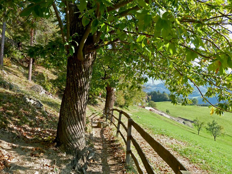
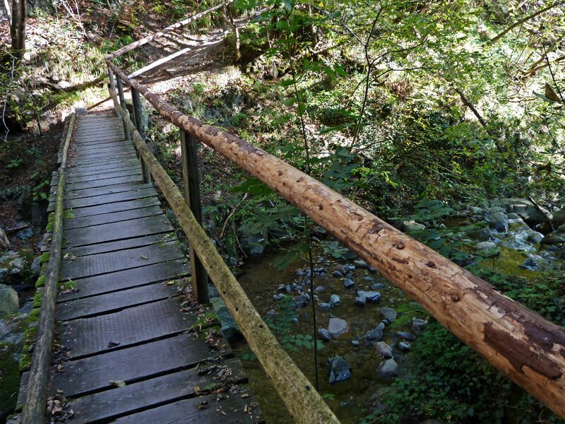
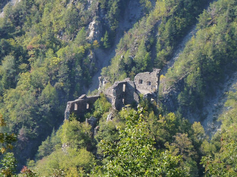
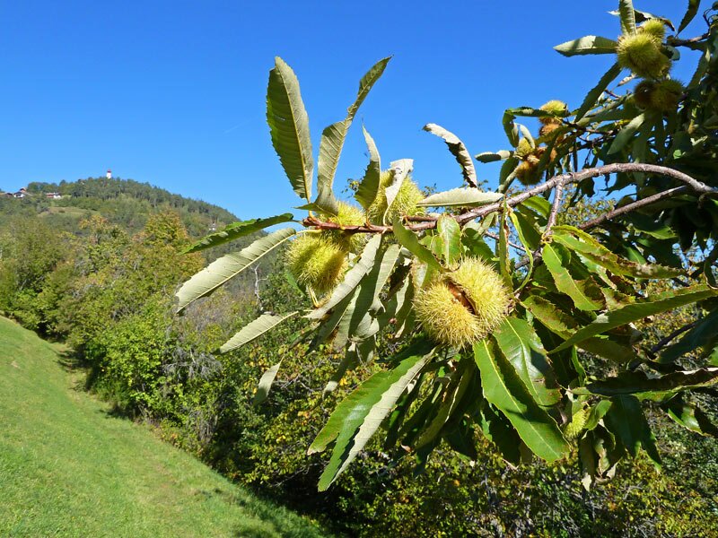
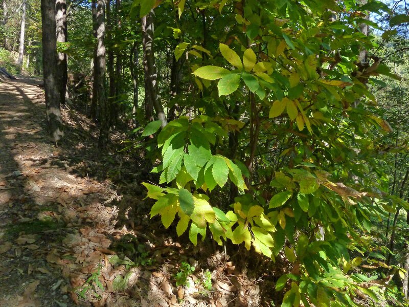
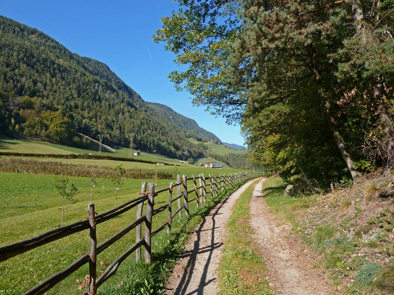
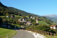
The third stage of the South Tyrolean Chestnut Trail starts in Auna di Sotto on the sunny plateau of the Renon (accessible by bus from Bolzano and other villages on the Renon). Past the church, the route leads through orchards into the deciduous forest, then through the dark gorge of the Rio Steger, past the Pietra castle ruins, to the sunny plateau below Siffiano.
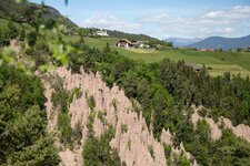
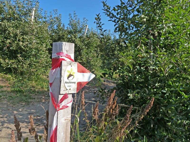
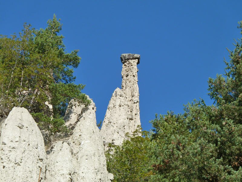
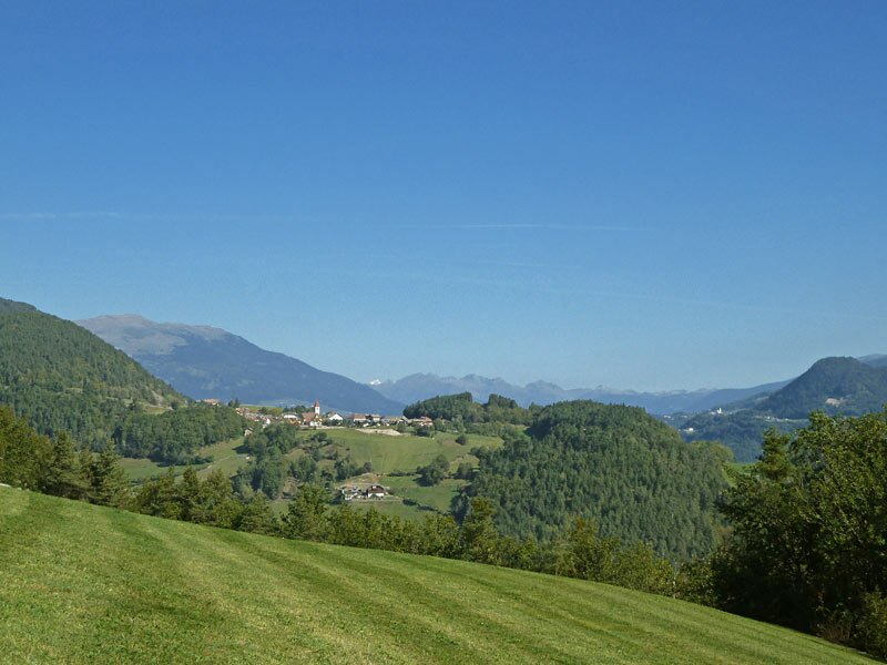
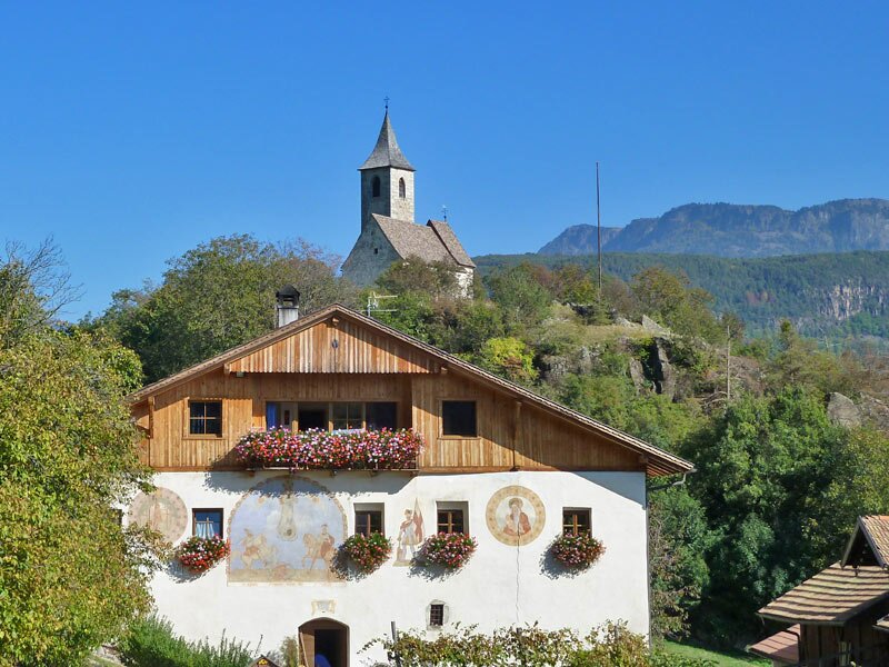
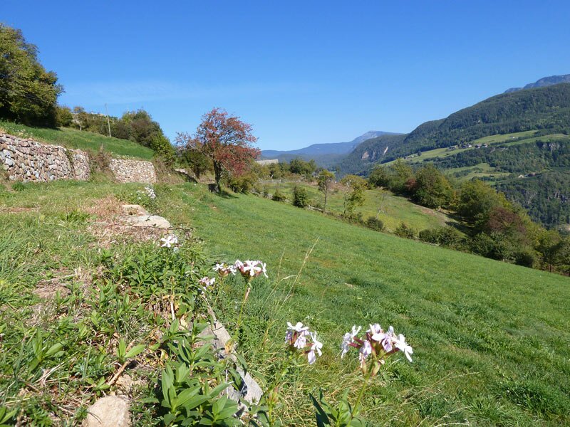
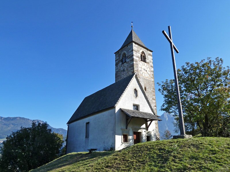
Walking through the forest, we cross the valley of the Rio Fosco, where there are also some Earth Pyramids, and follow the path towards Longostagno. Where the final ascent to Longostagno begins, we see the first signpost for "Keschtnweg Antlas". We take this path - it leads us to the sun-drenched meadows of the Antlas group of farmsteads with St. Andrew's Church.
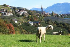
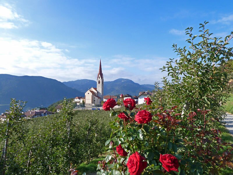
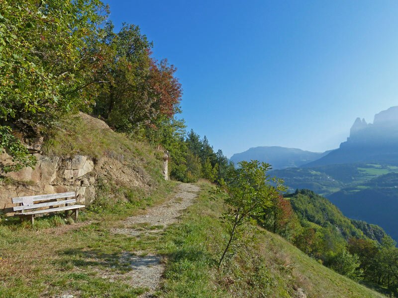
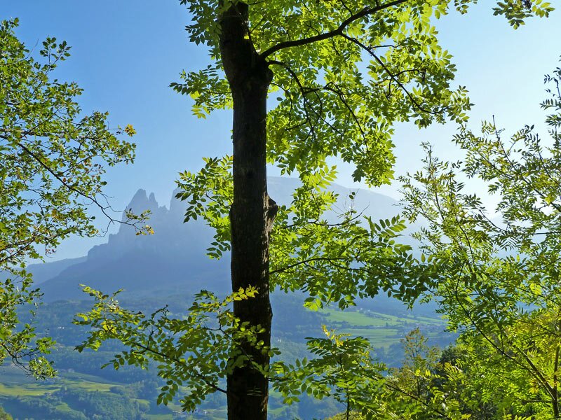
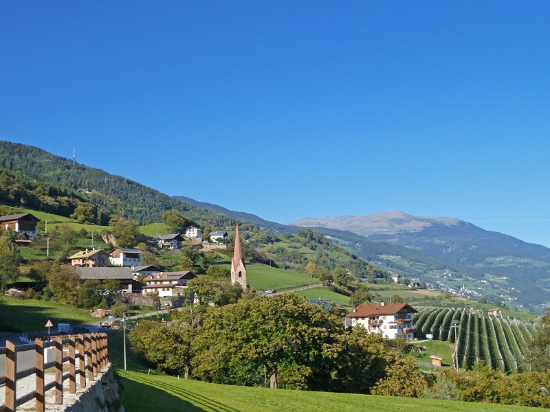
The view of the Sciliar adds to the sense of well-being here. We continue through a landscape of meadows and forests - after a short walk on asphalt, we reach the Stations of the Cross leading to the small St. Verena's Church. From there, we hike down to the road. The final section to Sant'Ingenuino leads along the small asphalt connecting road between Renon and Barbiano.
Once in Sant'Ingenuino, it is possible to take the bus down to Ponte Gardena and from there return to Bolzano by train, or take a train and bus back to Auna di Sotto.
Author: AT
Experienced: October 2011
Last update: 2026
-
- Starting point:
- Auna di Sotto on the Renon (899 m a.s.l.)
-
- Overall time:
- 05:00 h
-
- Total route length:
- 16,6 km
-
- Altitude:
- from 749 m to 961 m
-
- Altitude difference (uphill | downhill):
- +414 m | -562 m
-
- Signposts:
- Sentiero del Castagno (Keschtnweg), Keschtnweg Antlas
-
- Destination:
- Sant'Ingenuino in Barbiano (800 m a.s.l.)
-
- Recommended time of year:
- Jan Feb Mar Apr May Jun Jul Aug Sep Oct Nov Dec
-
- Download GPX track:
- Chestnut Trail, stage 3: Auna di Sotto-Sant’Ingenuino
If you want to undertake this hike, we recommend you to check the weather and trail conditions in advance and on site before setting out.