The old Emperor’s Road was particularly important for nobles, bishops, and emperors travelling to Rome for their coronation
Image gallery: Hike to the St. Andrew Chapel near Antlas
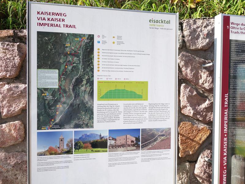
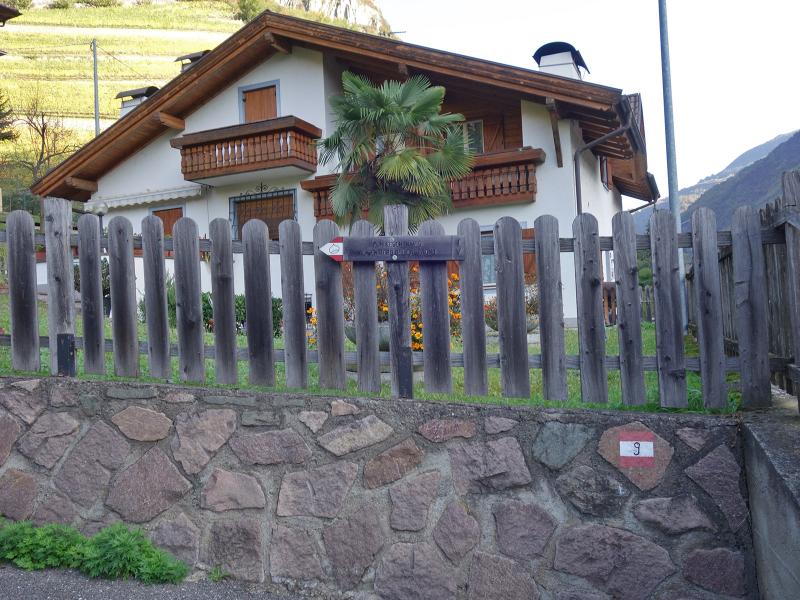

On a beautiful autumn day, we set out to visit the small Church of St. Andrew and the Zunerhof in the hamlet of Antlas. Our October hike starts in Campodazzo, where parking and a bus stop are available. An information board for the Emperor's Road (Kaiserweg) stands on the Brennero road.
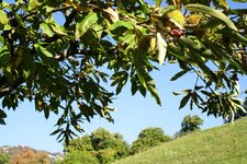
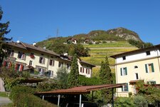
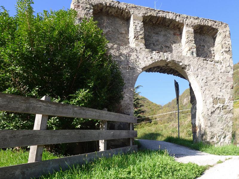
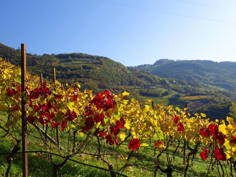
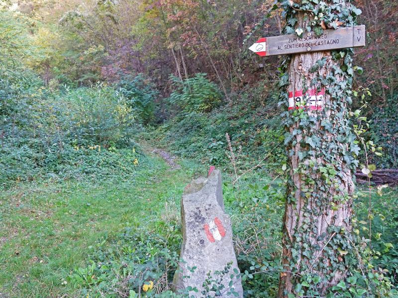
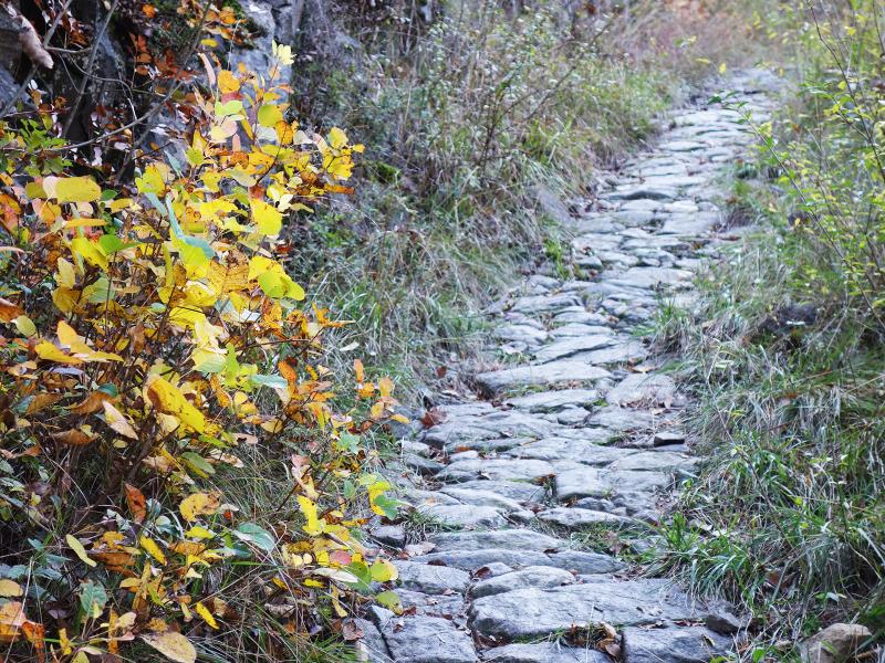
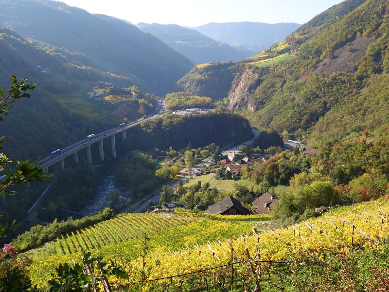
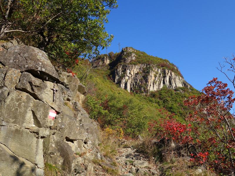
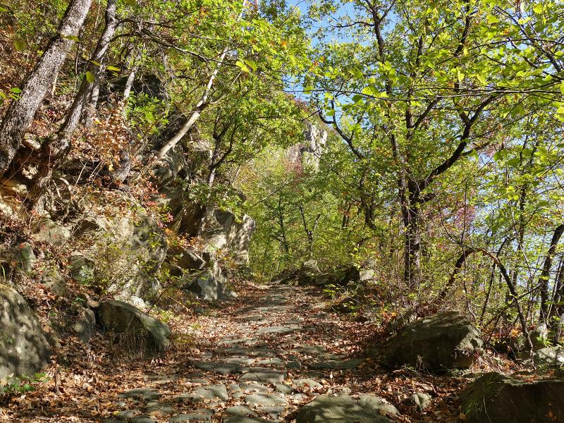
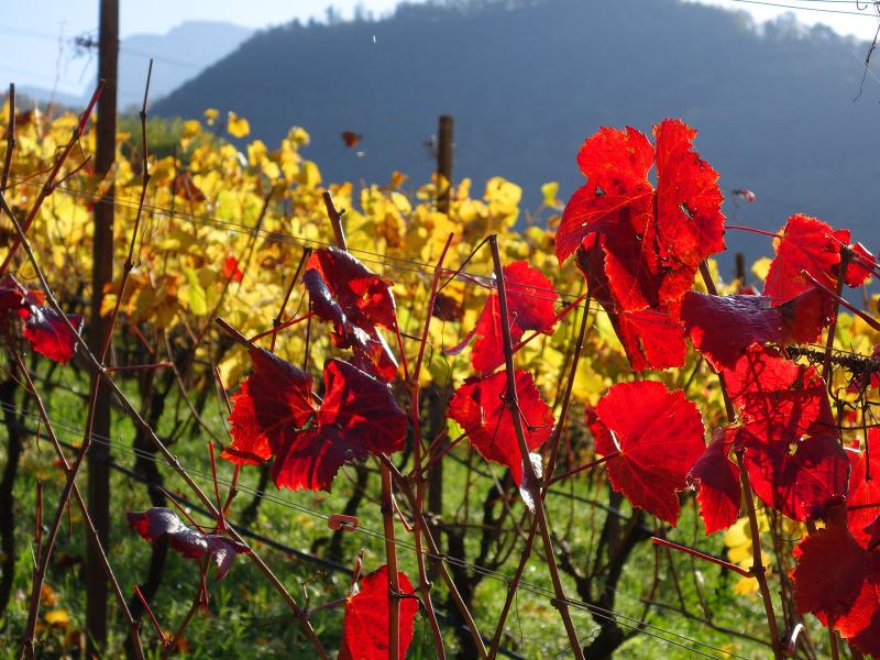
We follow this path, marked as no. 9, for a while. A few centuries ago, anyone wanting to travel from the middle Valle Isarco to Bolzano had to cross the Renon plateau, as the Valle Isarco gorge was not yet passable. We first hike past vineyards, and then the trail climbs steeply through a dense deciduous forest. Sections of the old stone paving are still preserved, which can be slippery.
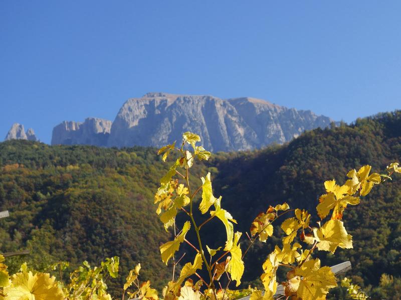
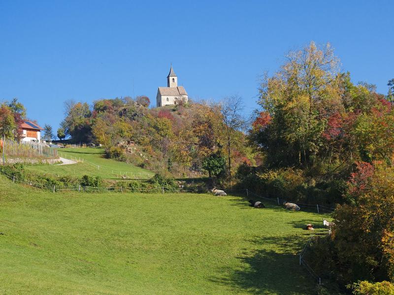
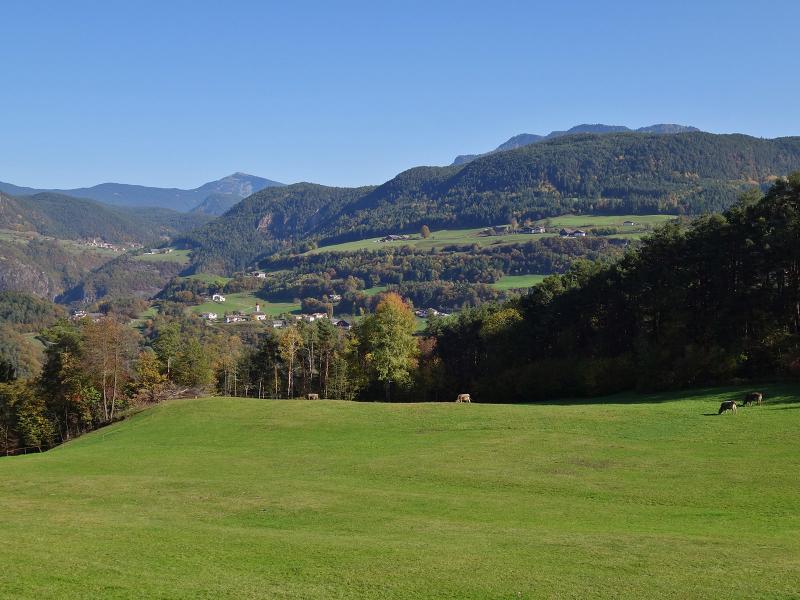
We continue to climb along the sunny rocky slope above the Valle Isarco until we reach the meadows of Antlas. This small hamlet is located below Longostagno at an elevation of 750 metres above sea level. The third stage of the Chestnut Trail also passes through here.
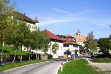
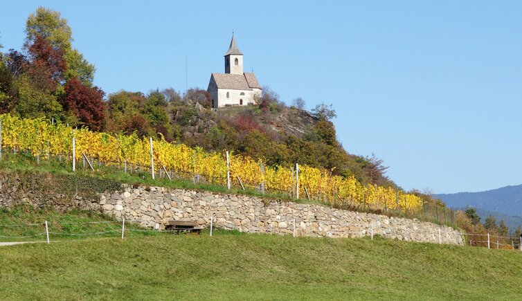
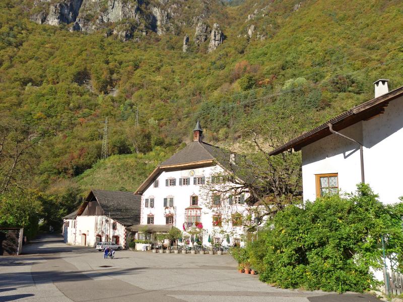
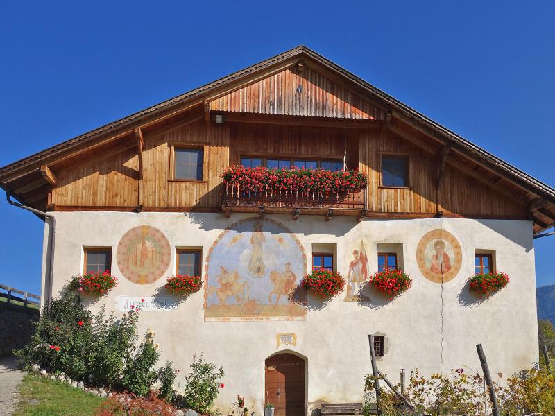
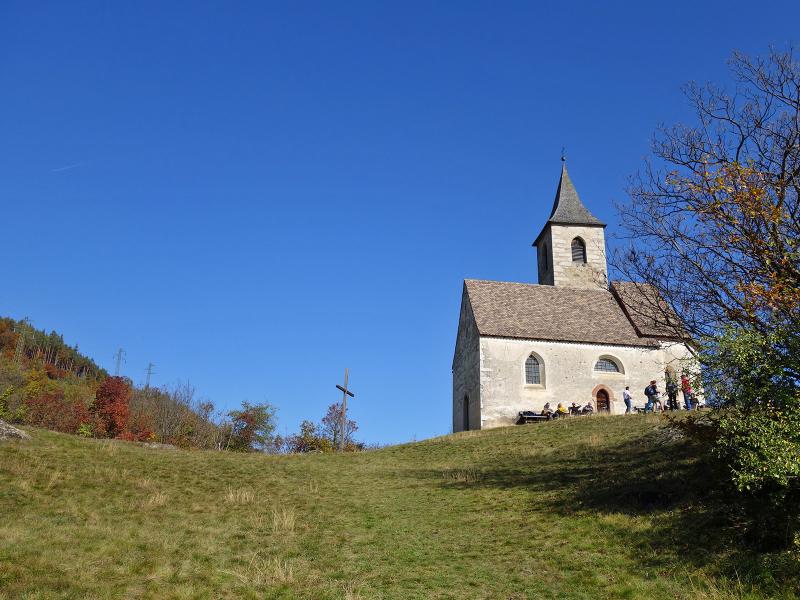
We walk along the road heading north towards the Zunerhof, a historic farmhouse dating back to the 12th century that now features a traditional farm tavern. Beneath the Renon sun, we continue to St. Andrew's Church from the 14th century., which stands prominently on a small hill.
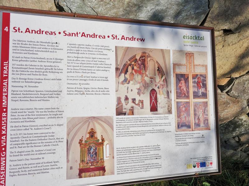
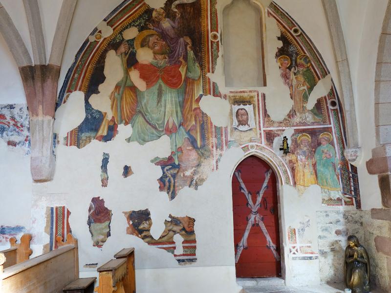
A special feature is the banner cabinet depicting St. Andrew. In addition, a fresco cycle featuring the Saint Christopher, St Margaret, St Stephen, and St Lawrence has been uncovered here. After a pleasant break at the Zunerhof, we later return to Campodazzo along the same path.
Author: AT
Experienced: October 2019
Last updated: 2026
-
- Starting point:
- Campodazzo in the Valle Isarco (379 m a.s.l.)
-
- Overall time:
- 02:00 h
-
- Total route length:
- 6,6 km
-
- Altitude:
- from 379 m to 824 m
-
- Altitude difference (uphill | downhill):
- +448 m | -448 m
-
- Signposts:
- no. 9, "zum Keschtnweg"
-
- Destination:
- Zunerhof and St. Andrew near Antlas
-
- Resting points:
- Zunerhof farm tavern
-
- Recommended time of year:
- Jan Feb Mar Apr May Jun Jul Aug Sep Oct Nov Dec
-
- Download GPX track:
- Hike to the St. Andrew Chapel near Antlas
-
- More information:
- The overall time shown above refers to the walking time only, not including breaks or stops.
If you want to undertake this hike, we recommend checking the weather and trail conditions in advance and on site before starting this hike!