Walking tour along the Getrum Kammweg to the Croce di Lazfons - this tour in the Sarentino Alps starts at the mountain station of the Reinswald cablecar
Image gallery: Mountain tour to the Santa Croce di Lazfons
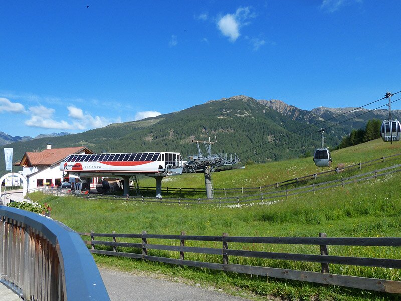
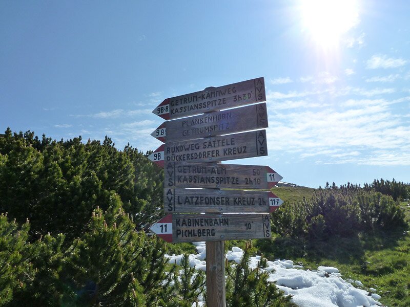
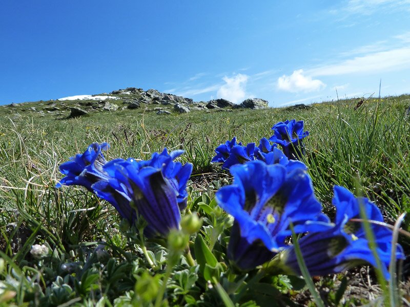
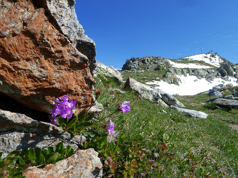
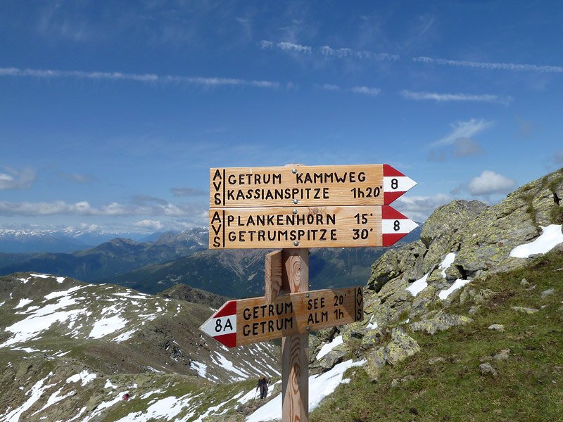
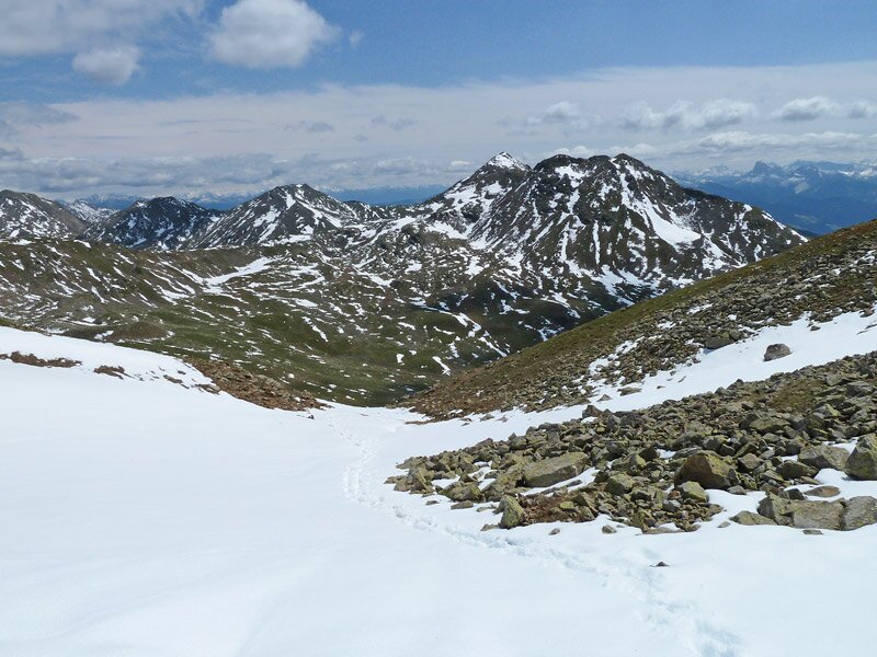
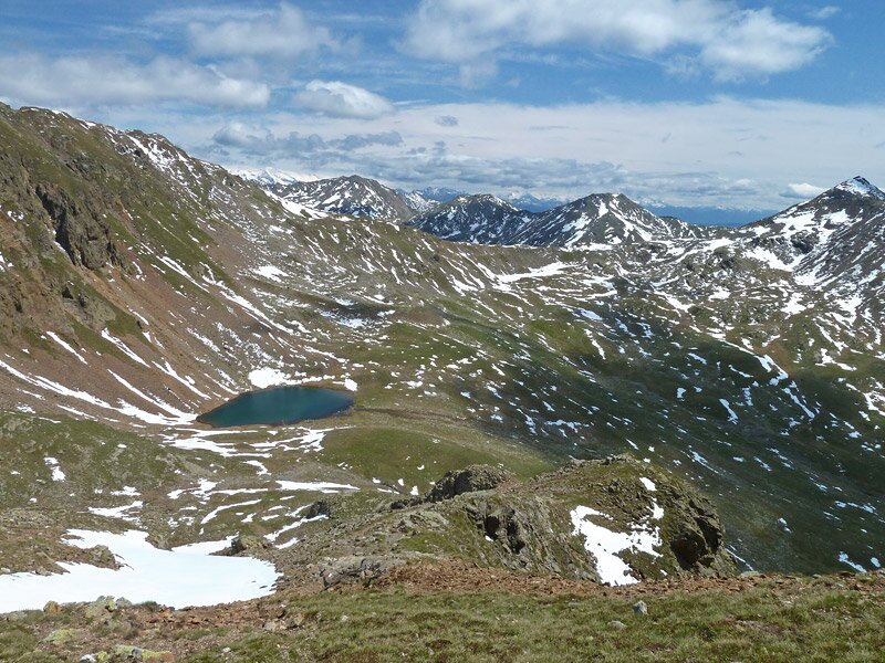
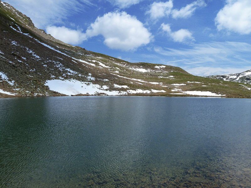
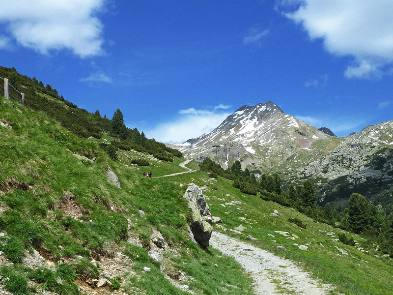
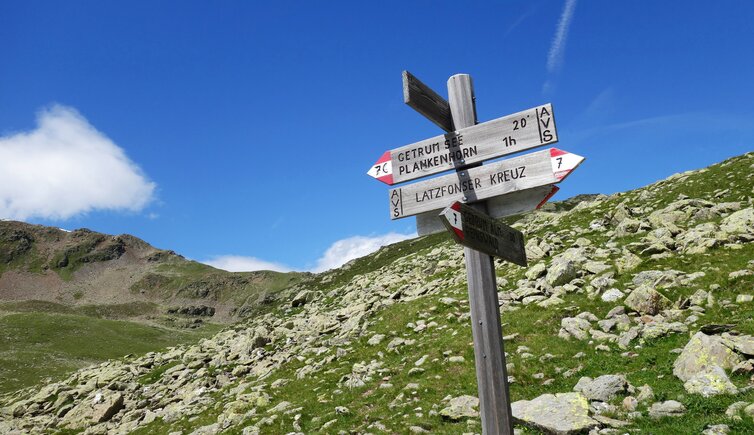
The cable car takes us from Reinswald in Val Sarentino up to the mountain station at the Pichlberg mountain. This is where we follow the path to the "Sattele", a little elevation over-towering the skiing area of the Val Sarentino. From the summit at the cross, we follow the "Gerum Kammweg", leading from the Plankenhorn mountain and further on to the Cima Gethruna mountain peak. Due to the icy cold and the snow fields, however, we decide to change our plans and to continue on the Getrum Kammweg trail to the Plankenjoch, and walk down to Lake Gethruna in serpentines.
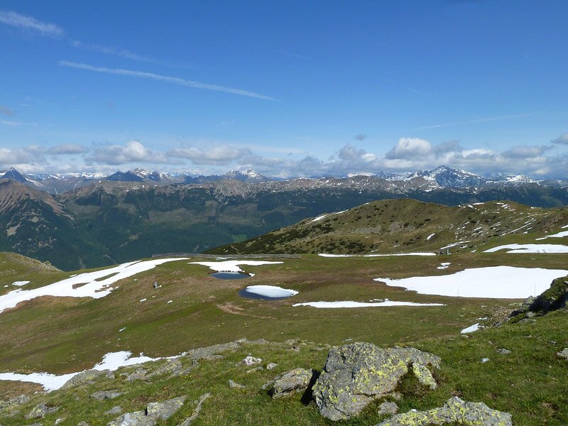
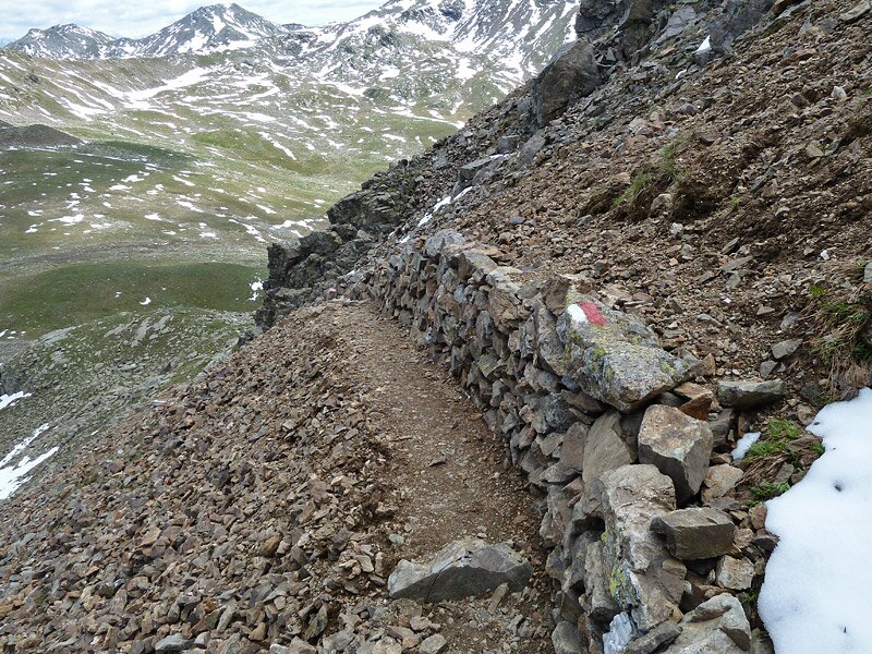
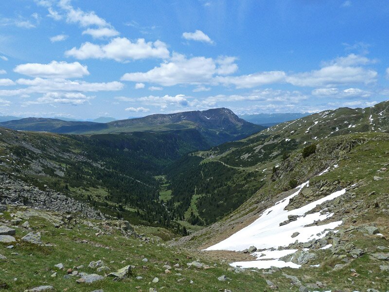
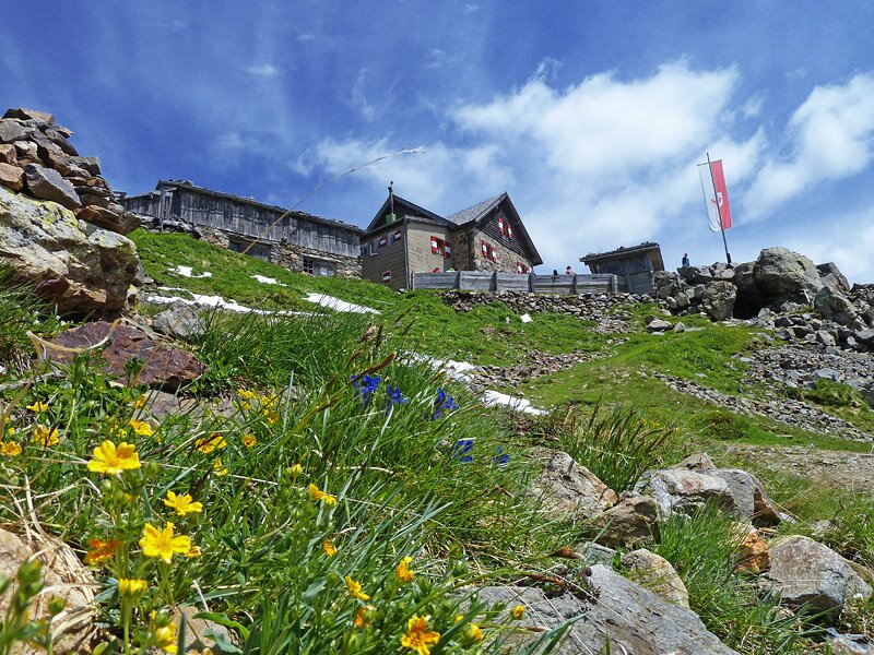
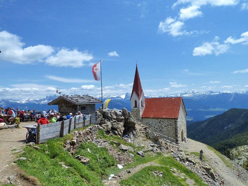
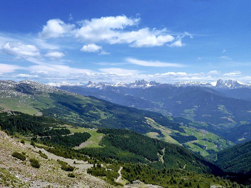
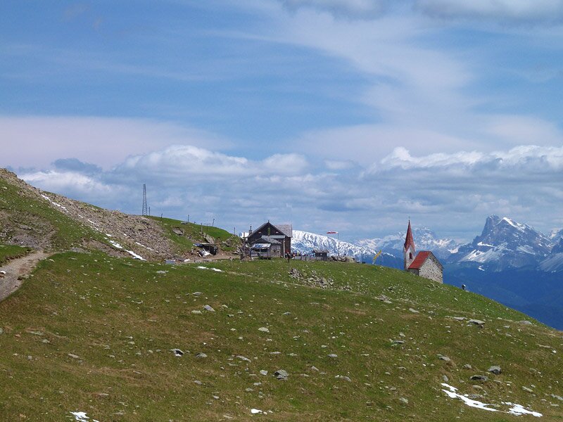
We continue to the Valle Gethruna valley, until we reach the junction to the Croce di Lazfons. Across the Lücklscharte ridge, first the way up, than shortly down, we reach the mountain hut. At the Croce di Lazfons, the trails of the walking areas of the Alpe di Villandro and Velturno mountain pastures meet. After a short stop, enjoying the great panorama on the Dolomites, we decide to walk back across the Lücklscharte ridge, but we decide to stay on the path that takes us to the Gethruna mountain hut.
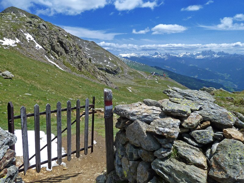
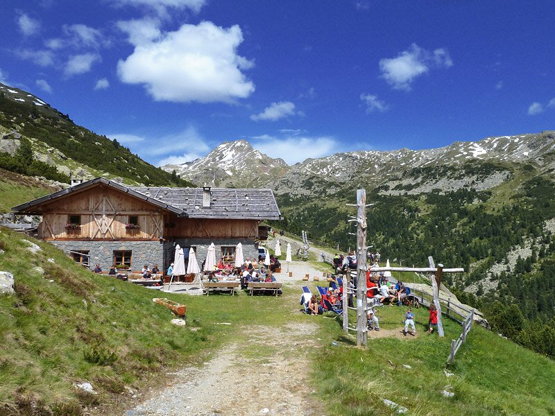
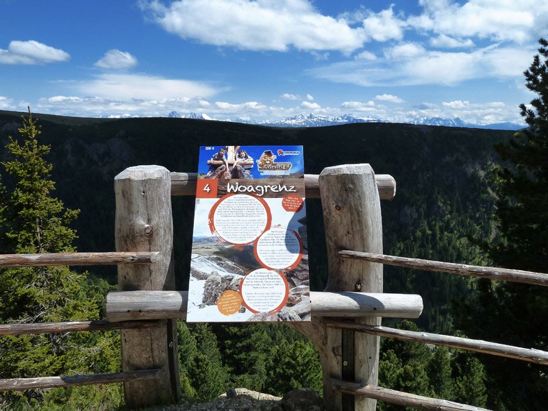
From this place we take the comfortable forested path back to the mountain station at the Pichlberg. This section corresponds to the route of the "Urlesteig" trail, which offers a series of attractions for kids along the path.
Author: AT
-
- Starting point:
- mountain station Reinswald cable car (Pichlberg)
-
- Overall time:
- 04:30 h
-
- Total route length:
- 12,5 km
-
- Altitude:
- from 2.104 m to 2.534 m
-
- Altitude difference:
- +699 m | -699 m
-
- Signposts:
- Kammweg, 9B, 8A, 7C, 7, 11
-
- Destination:
- Latzfonser Kreuz
-
- Resting points:
- Latzfonser Kreuz, Getrum Alm
-
- Recommended time of year:
- Jan Feb Mar Apr May Jun Jul Aug Sep Oct Nov Dec
-
- Download GPX track:
- Mountain tour to the Santa Croce di Lazfons
If you want to do this hike, we suggest you to check the weather and trail conditions in advance and on site before setting out.