In the Val Sarentino we hike through the Valle di Sottomonte to the Ebenberg Hut, known for its homemade dumplings and pasta
Image gallery: Hike from Riobianco to the Malga Ebenberg
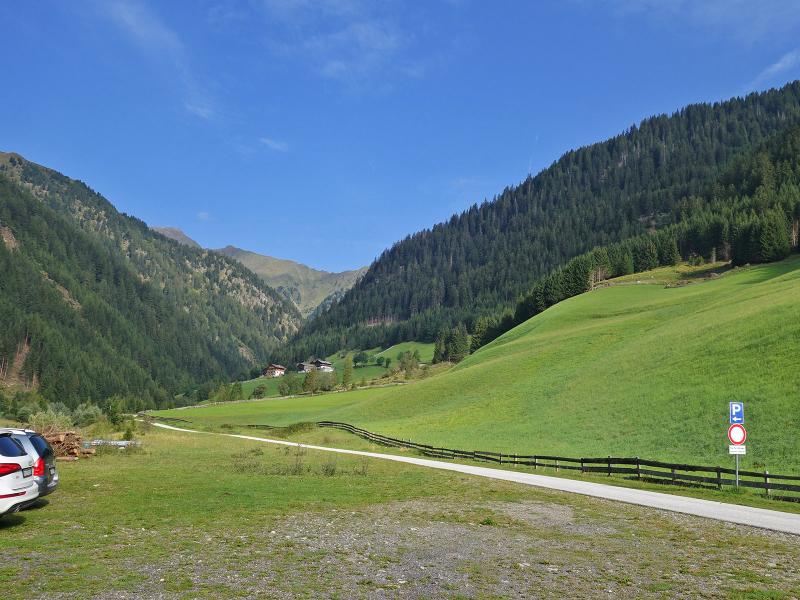
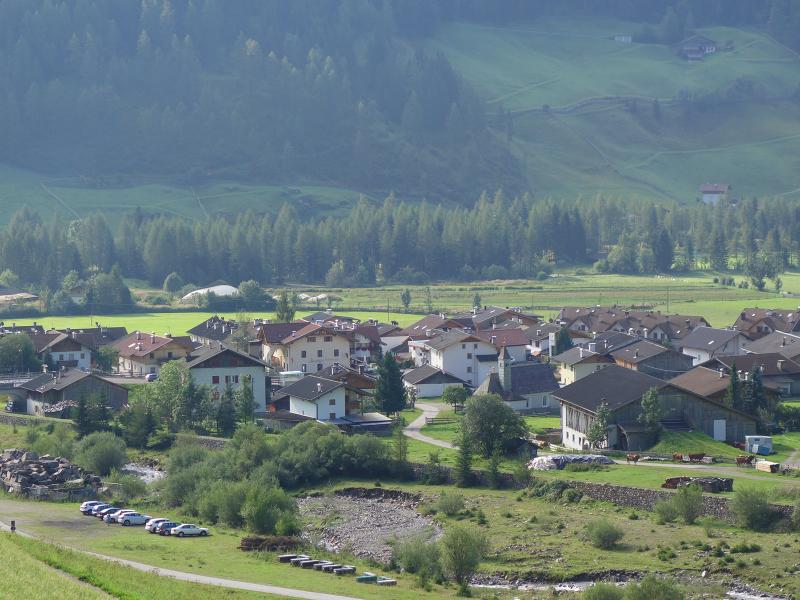
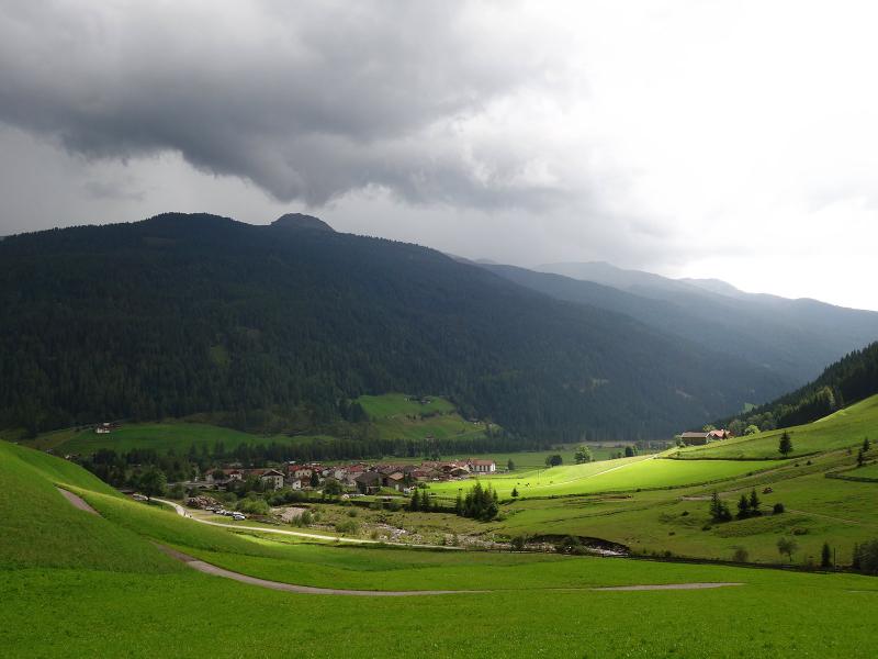
The starting point of the hike through the Valle di Sottomonte is located north of Rio Bianco in Sarentino. After the bridge over the stream, a small road branches off to the left in a westerly direction. A car park is situated 100 metres further along. Our August hike begins here.
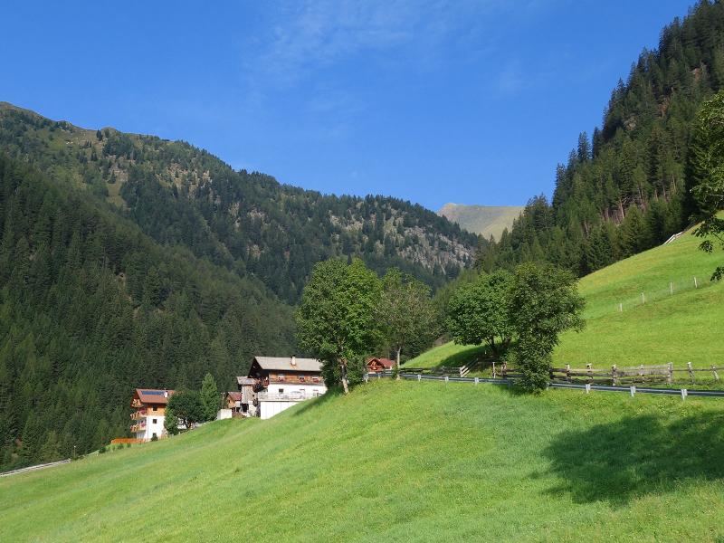
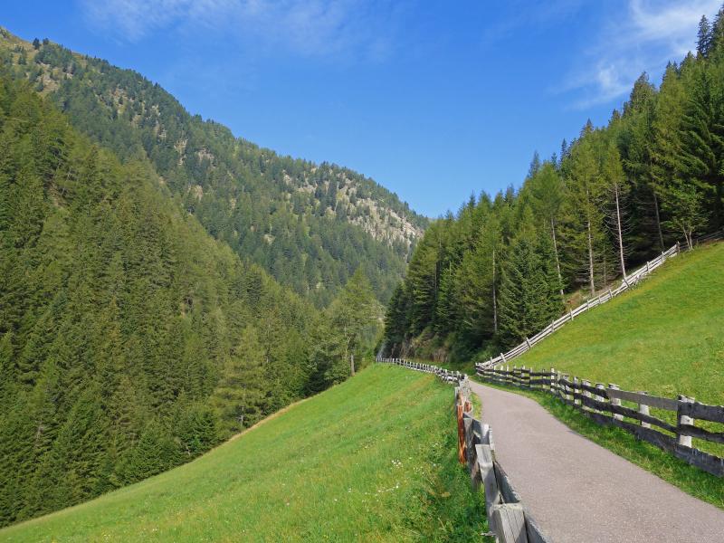
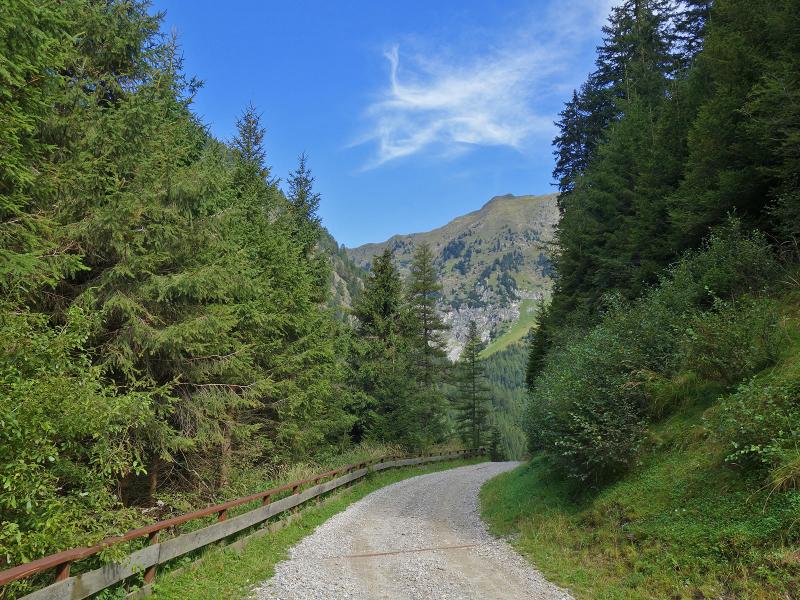
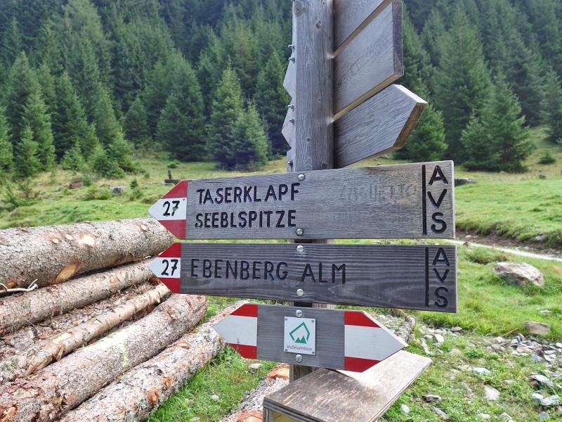
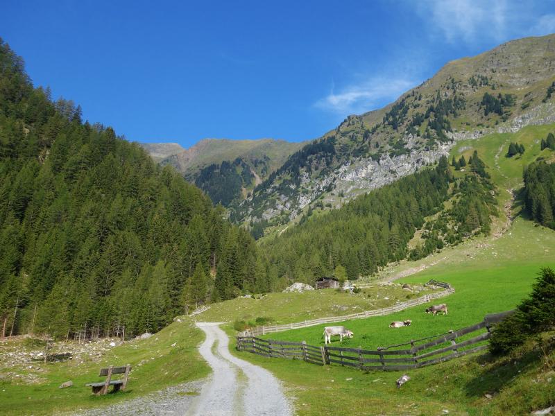
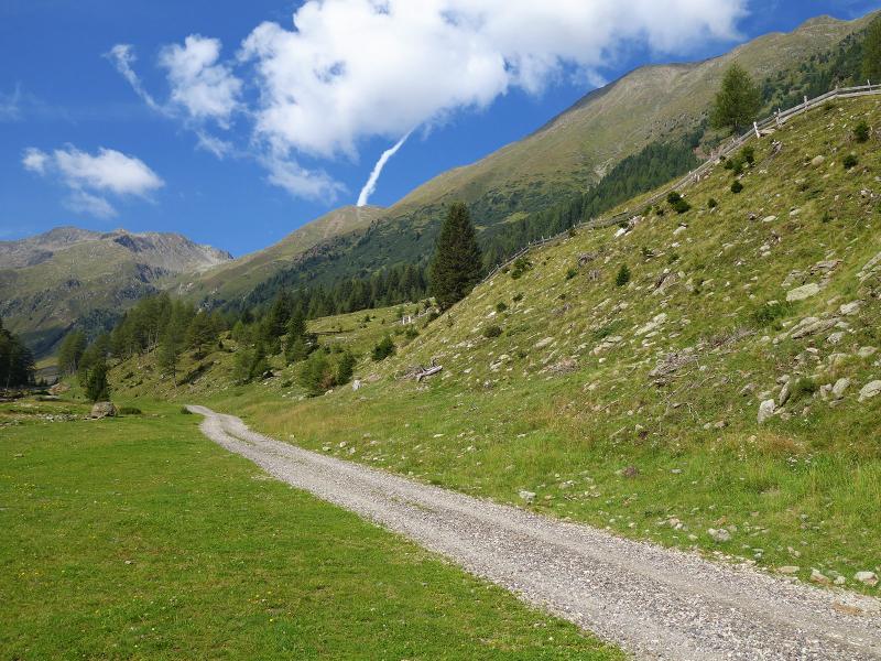
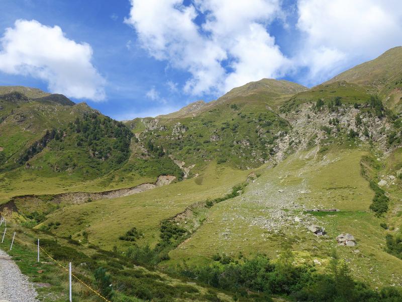
First, we follow the tarmac road to the Wink farms. The path now turns into a gravel road and leads near the Rosell Hut, where the valley divides. The Oberbergtal - the Valle di Sopramonte valley - is to the right, and the Valle di Sottomonte (Unterbergtal) is to the left. We follow trail no. 27 towards the Ebenberg Mountain Hut at 1,780 metres above sea level.
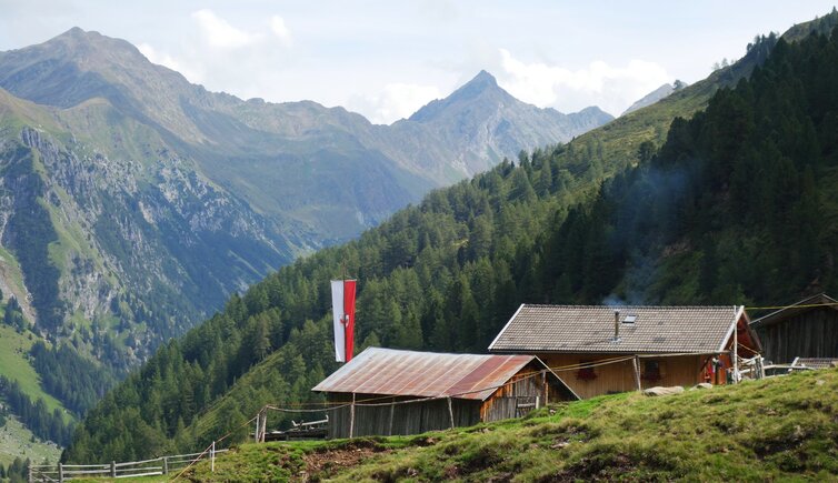
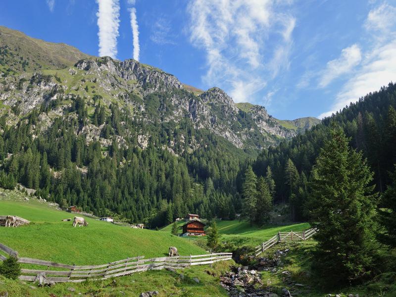
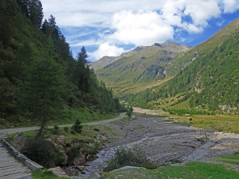
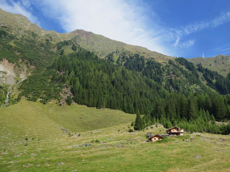
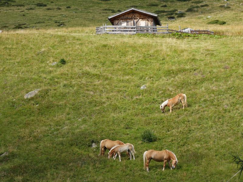
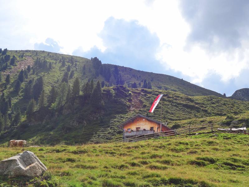
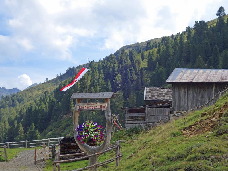
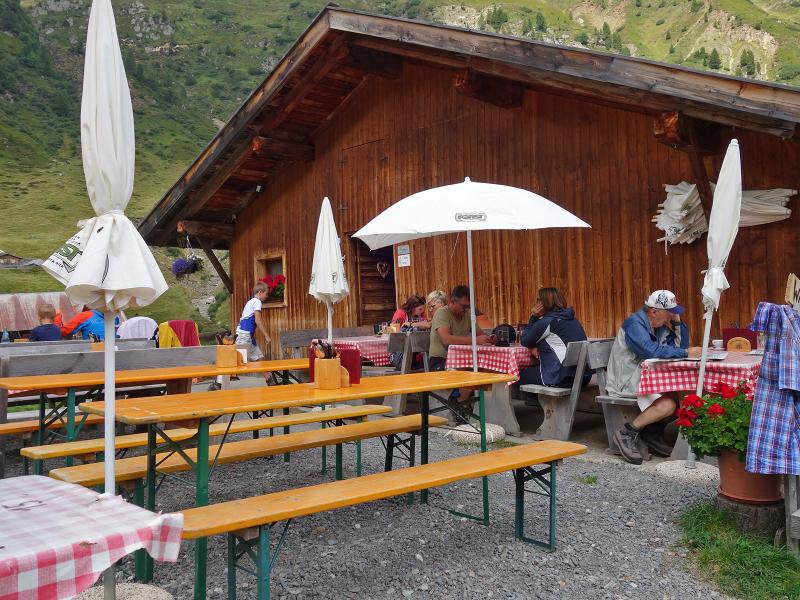
The route goes steadily uphill along the banks of the Rio Bianco, initially a little steeper and then more gently. Various alpine huts sit on the right side. Behind them rise the peaks of the western ridge of the Sarentino Alps: Monte di Sotto, Guardia Alta, Monte delle Pecore, Cima dell'Alpetta. Finally, we reach the Ebenberg Hut, the only place to stop for refreshments in the valley.
Unlike the lower huts, it sits on the eastern side of the valley. The Ebenbergalm serves simple mountain dishes, including homemade dumplings, and provides overnight accommodation. Afterwards, we walk back along the same path and return to Rio Bianco three hours later.
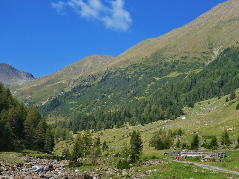
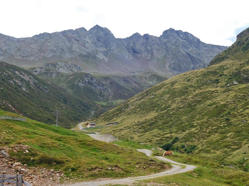
Anyone wishing to explore this landscape further can continue walking into the valley on trail no. 27 to the Alpler Hut at 2,100 metres a.s.l. The gravel road leads all the way up to this point.
Author: AT
Experienced: August 2019
Last updated: 2026
-
- Starting point:
- Rio Bianco in Sarentino (1,348 m a.s.l.)
-
- Overall time:
- 03:00 h
-
- Total route length:
- 10,5 km
-
- Altitude:
- from 1.348 m to 1.781 m
-
- Altitude difference (uphill | downhill):
- +443 m | -443 m
-
- Signposts:
- no. 27, "Ebenbergalm"
-
- Destination:
- Ebenberg Mountain Hut (1,781 m a.s.l.)
-
- Resting points:
- Ebenberg Mountain Hut (June to September)
-
- Recommended time of year:
- Jan Feb Mar Apr May Jun Jul Aug Sep Oct Nov Dec
-
- Download GPX track:
- Hike from Riobianco to the Malga Ebenberg
-
- More information:
- The overall time shown above refers to the walking time only, not including breaks or stops.
If you want to undertake this hike, we recommend checking the weather and trail conditions in advance and on site before starting this hike!