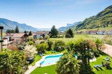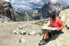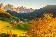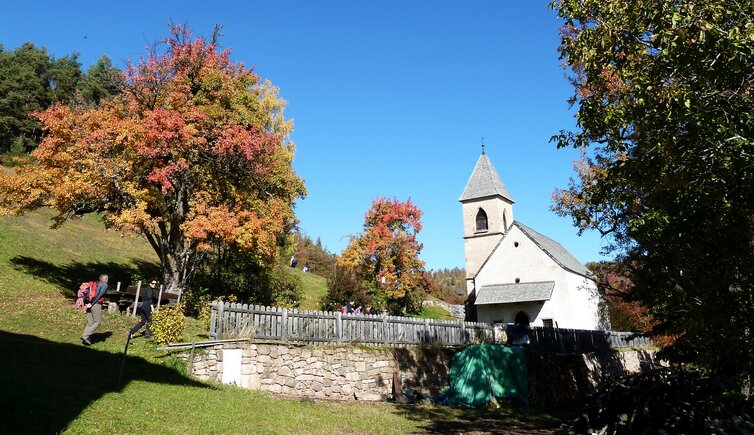
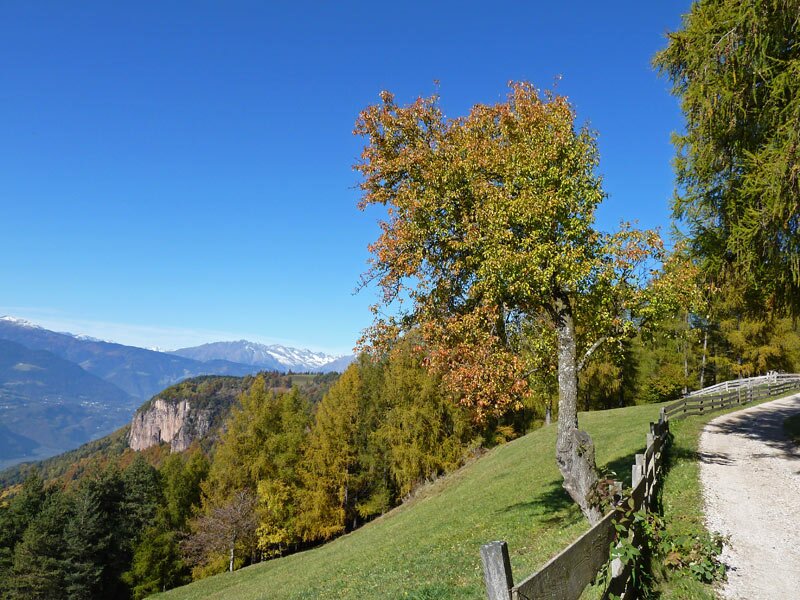
The larch meadows of the Salto - Europe’s highest larch plateau- look their best on sunny autumn days
Image gallery: Round tour to Frassineto and Montoppio
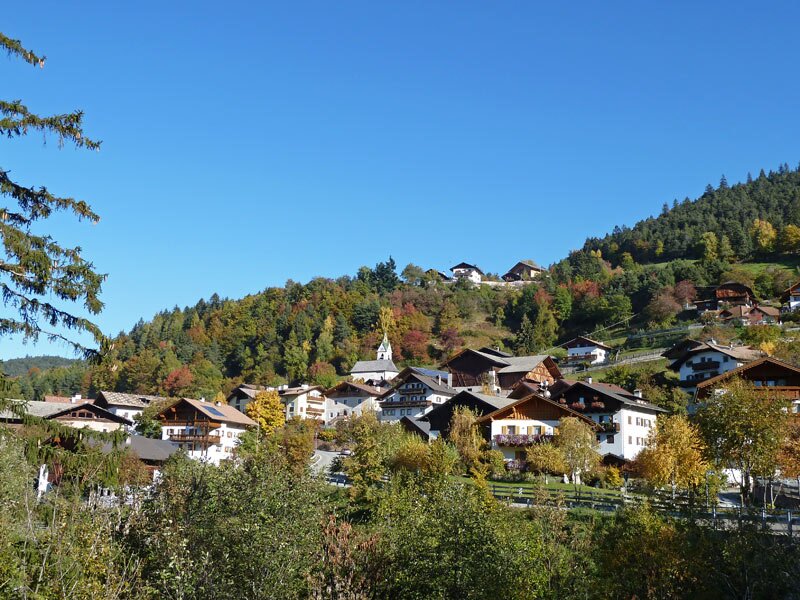
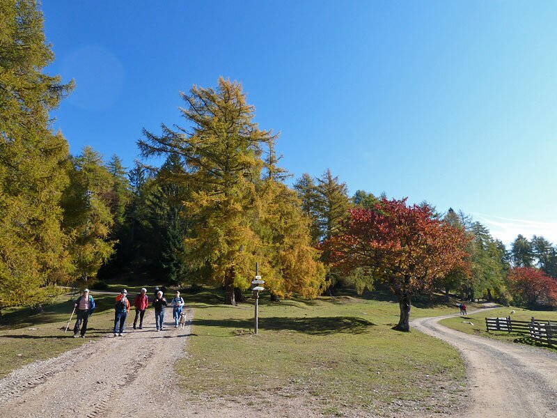
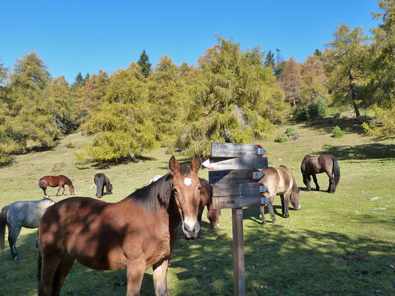
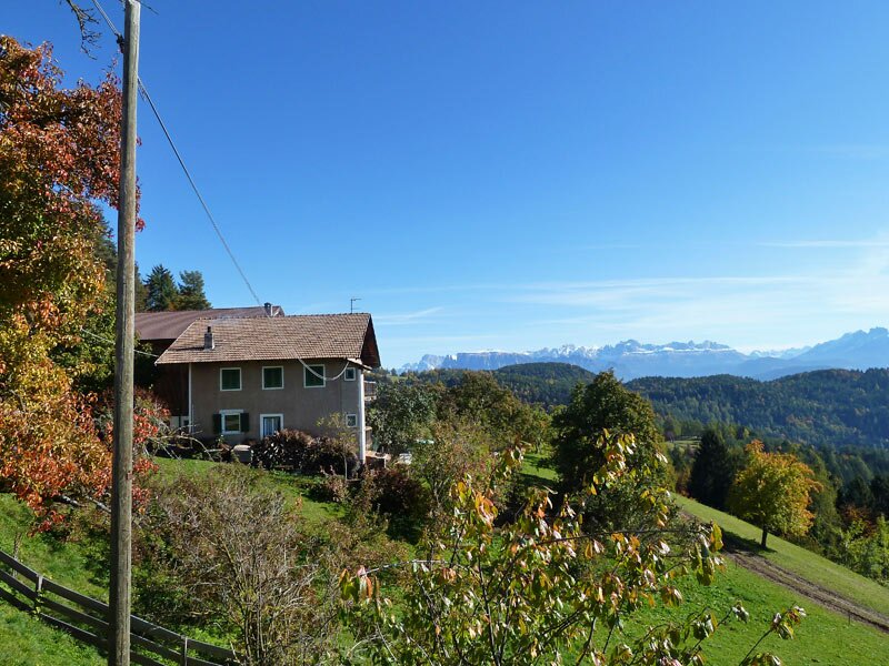
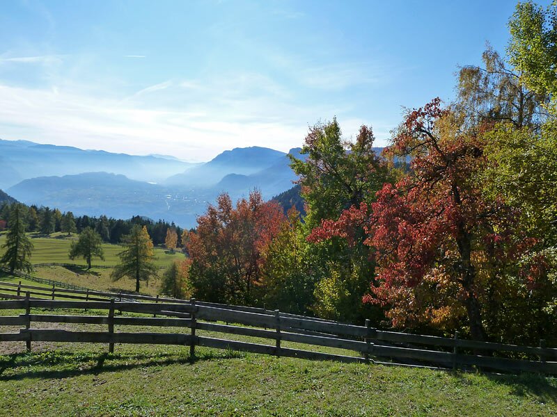
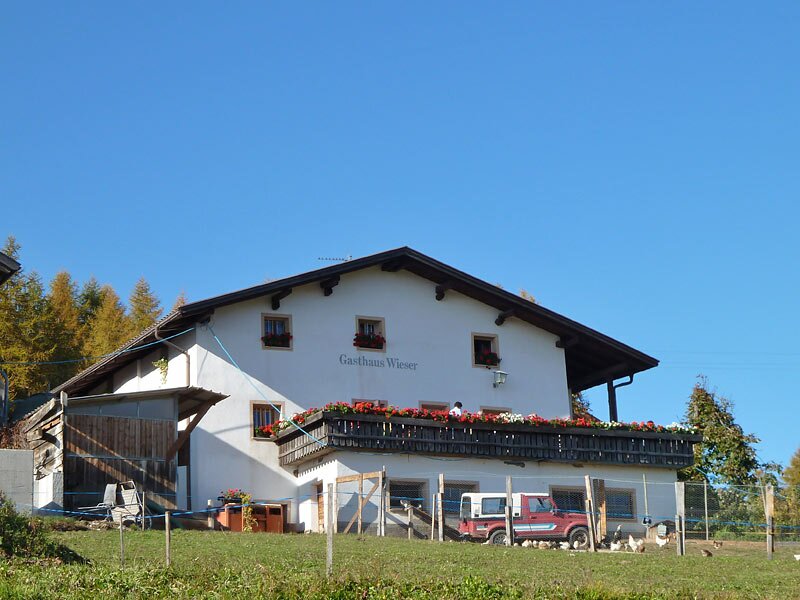
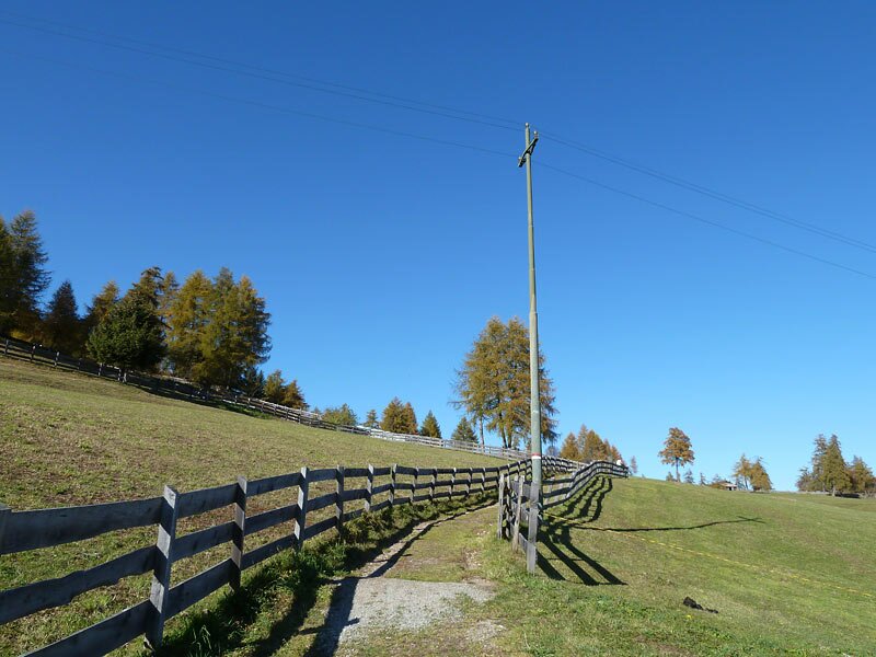
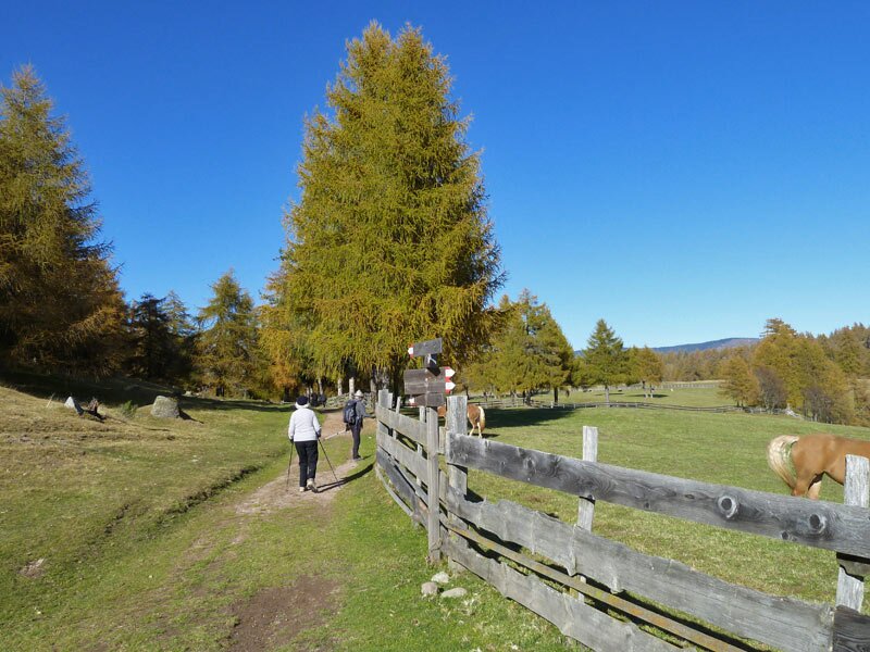
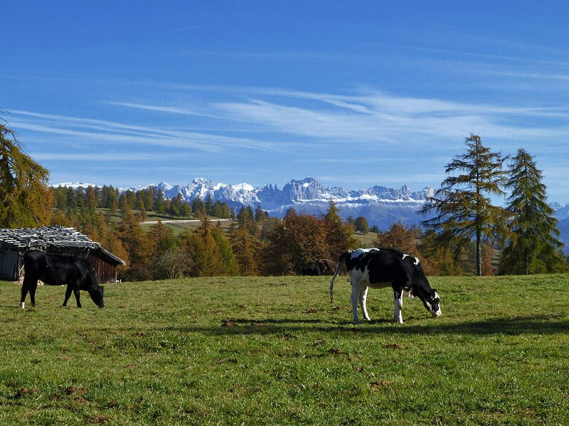
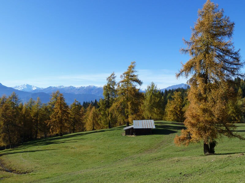
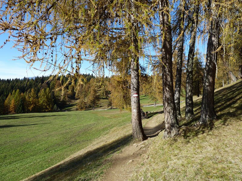
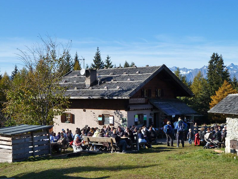
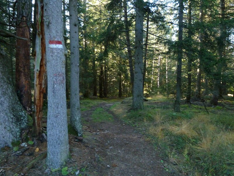
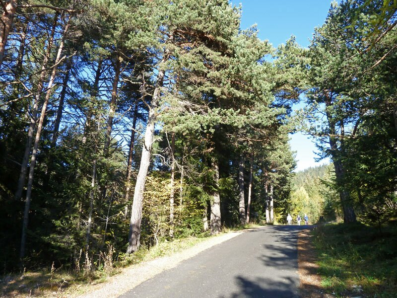
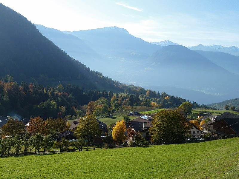
Frassineto is the small village near Meltina that serves as the starting point for our circular hike. The meadows near the Tschaufen are a historic area: In the Middle Ages, the Tschaufen was the hunting lodge of the Lords of Maultasch, and Haflinger horses have been bred here since 1907.
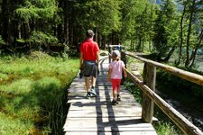
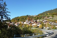
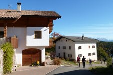
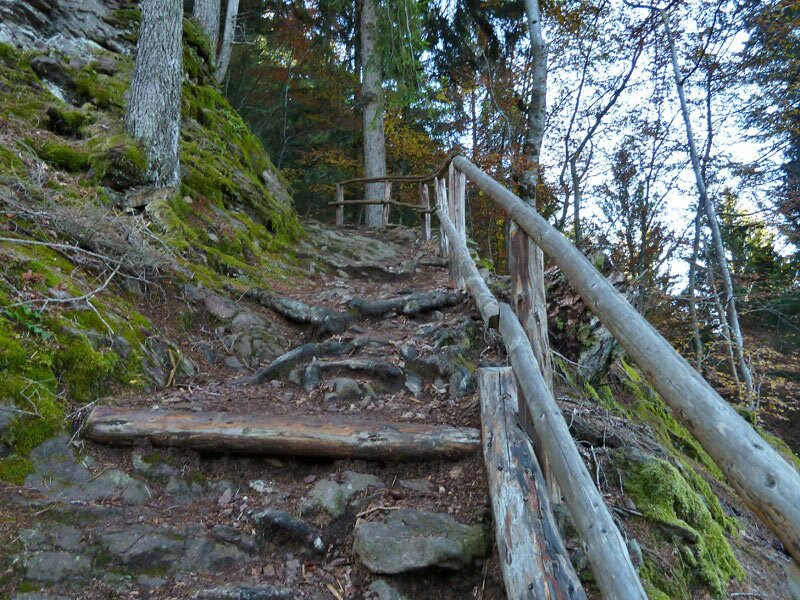
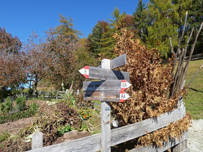
Our first stage destination lies a few kilometres further south on trail no. 2. It initially winds gently, before becoming rougher as it climbs through the dense forest. We then continue slightly downhill along path no. 8 to Montoppio (Nobls). This small village already belongs to the municipality of San Genesio Atesino. First a broad forest track, then forest path no. 8A takes us to a group of farms.
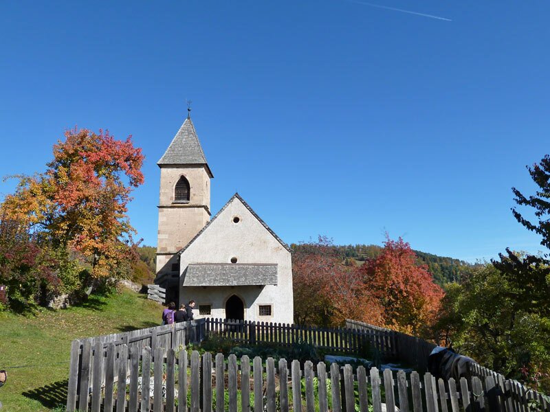
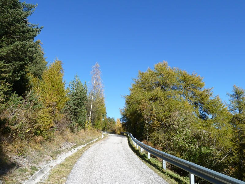
Then we continue to the ensemble around the little St. Valentine Church. The nature of the path changes again. Trail no. 10, which we follow to the Wieser inn, runs along an asphalt road.
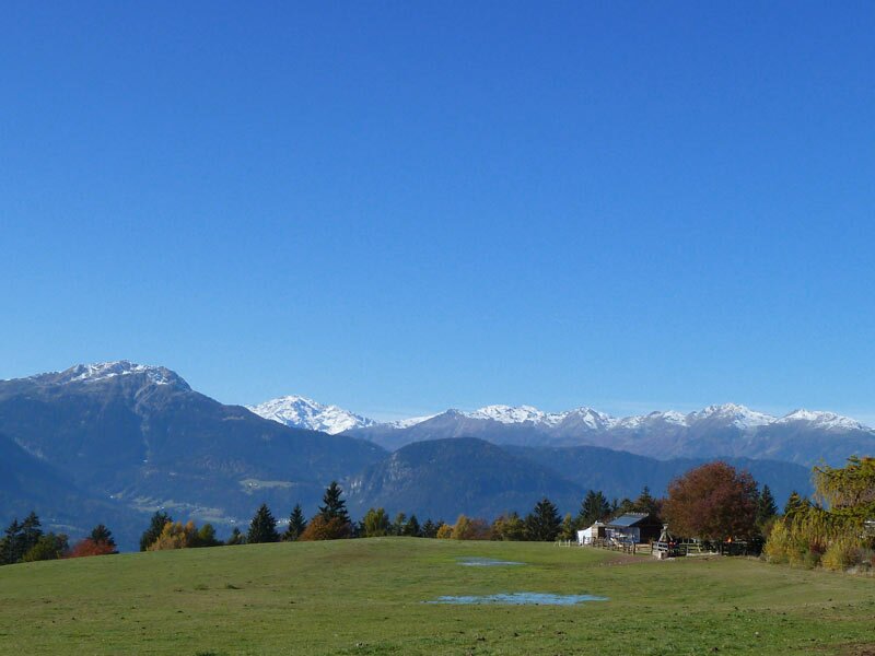
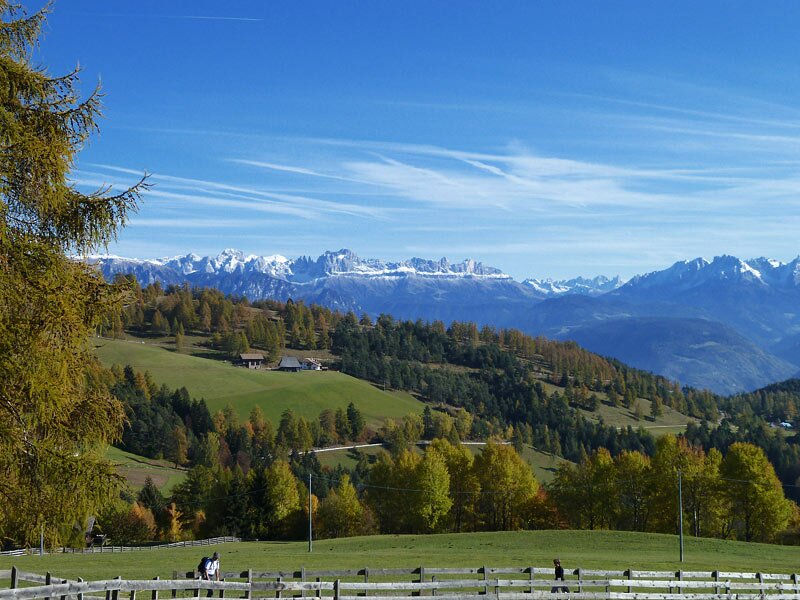
The panoramic view stretches across the autumn-coloured larch meadows of the Salto plateau to the peaks of the Dolomites. Larch meadows also line path no. 10 to the Gschnoferstall, a popular hut a little further north. From here, we only need to follow path no. 12, which leads us back to the starting point and successfully concludes the circular hike after almost four hours.
Author: AT
Experienced: October 2011
Last updated: 2026
-
- Starting point:
- Frassineto near Meltina
-
- Overall time:
- 03:40 h
-
- Total route length:
- 11,6 km
-
- Altitude:
- from 1.063 m to 1.435 m
-
- Altitude difference (uphill | downhill):
- +502 m | -502 m
-
- Signposts:
- no. 2, 8, 8A, 10, 12
-
- Destination:
- Montoppio near San Genesio Atesino
-
- Resting points:
- Tschaufen inn, Wieser inn, Gschnoferstall (all of them from April to November)
-
- Recommended time of year:
- Jan Feb Mar Apr May Jun Jul Aug Sep Oct Nov Dec
-
- Download GPX track:
- Round tour to Frassineto and Montoppio
-
- More information:
- The overall time shown above refers to the walking time only, not including breaks or stops.
If you want to undertake this hike, we recommend checking the weather and trail conditions in advance and on site before starting this hike!