The Laives High Route is a somewhat demanding walk that is especially suitable for spring and autumn
Image gallery: Hike on the Alta Via di Laives
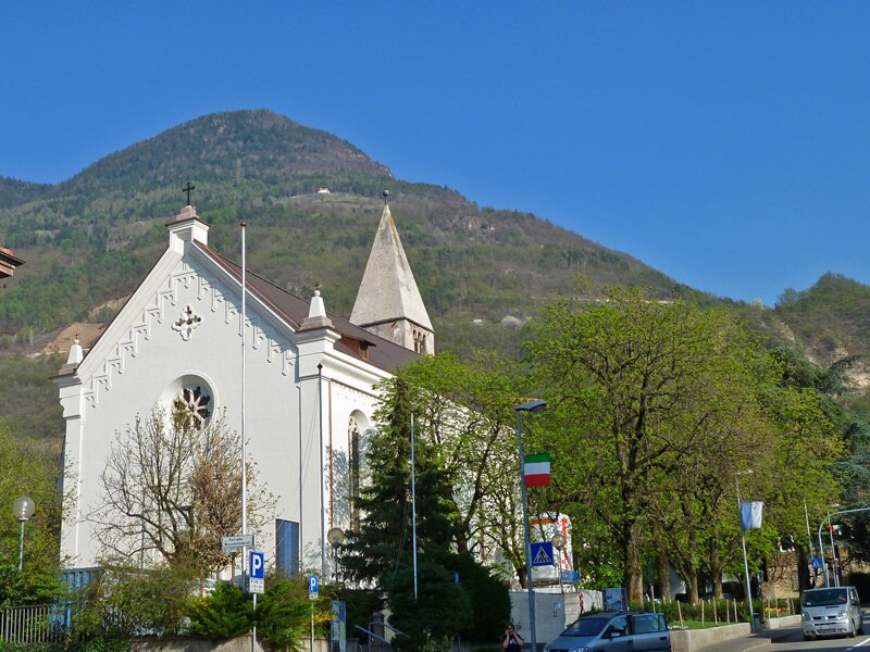
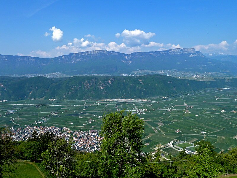
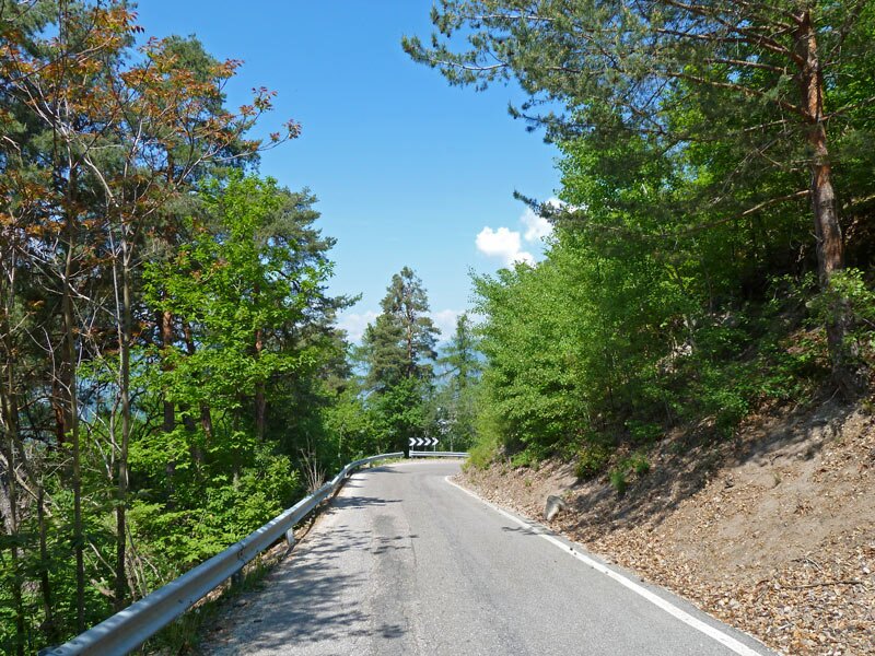

The porphyry-red town hall of Laives is the starting point for our April walk, when the apple trees in the South Tyrolean Bassa Atesina are in full bloom. The first four kilometres lead up into the Vallarsa (Brantental) valley. We walk past orchards and vineyards along the road next to a babbling brook. This ascent through the valley is somewhat tiring and rather uninteresting.
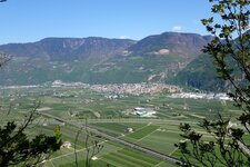
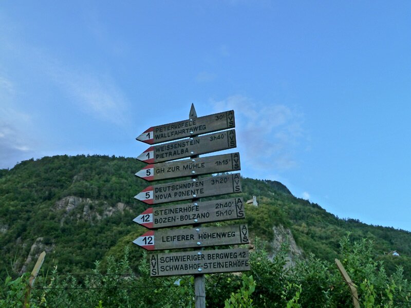
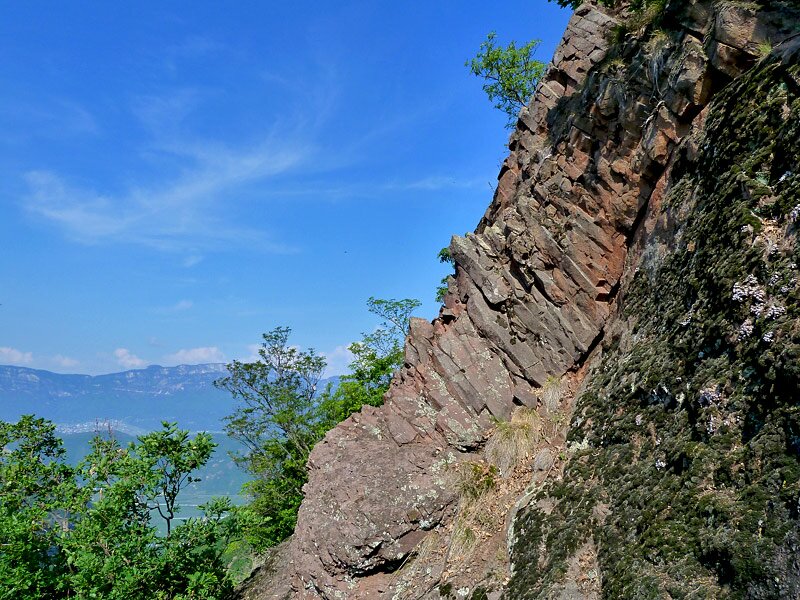
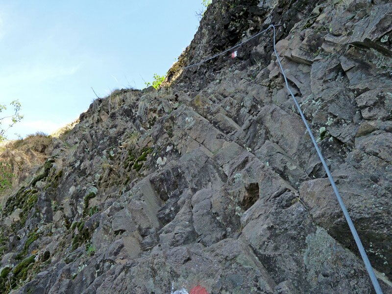
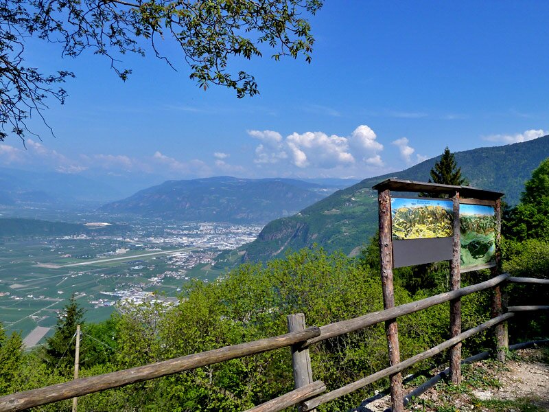
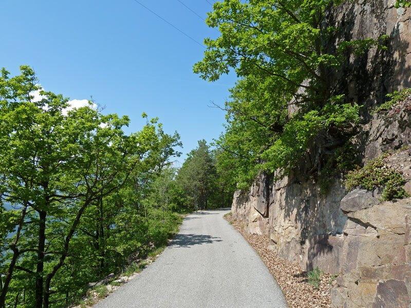
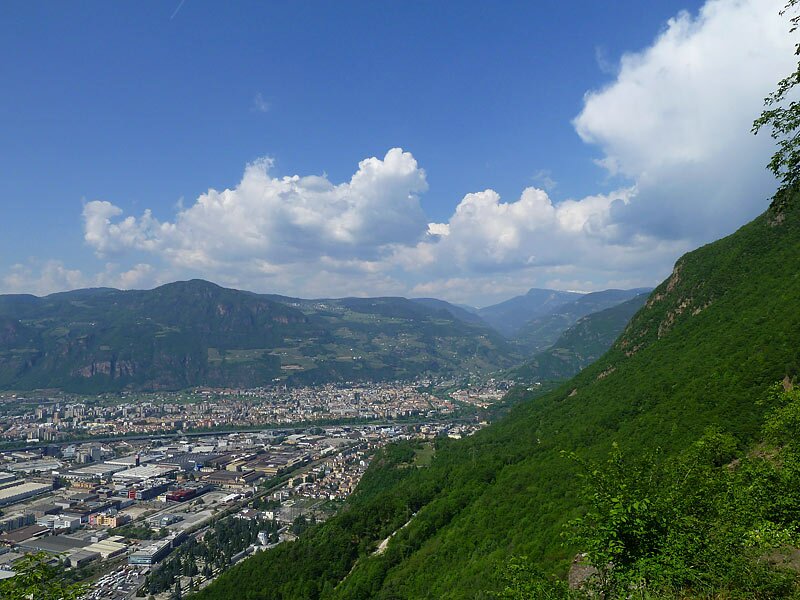
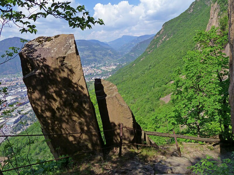
Past the Taler farm, the signpost points upwards to the Schwabhof. The more exciting part of the Laives High Route lies ahead of us. It leads us along steep rock faces and includes some rope-secured sections, giving it the character of a (light) via ferrata. A viewpoint with a sweeping panoramic view over Laives and the Bassa Atesina area marks the end of this section.
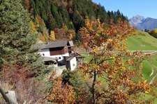
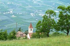
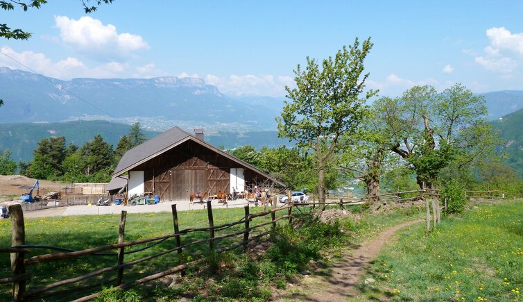
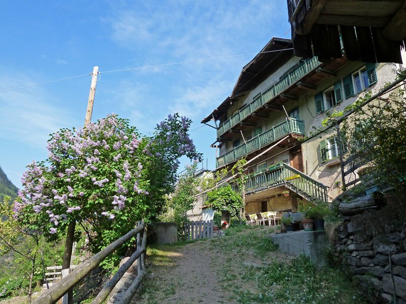
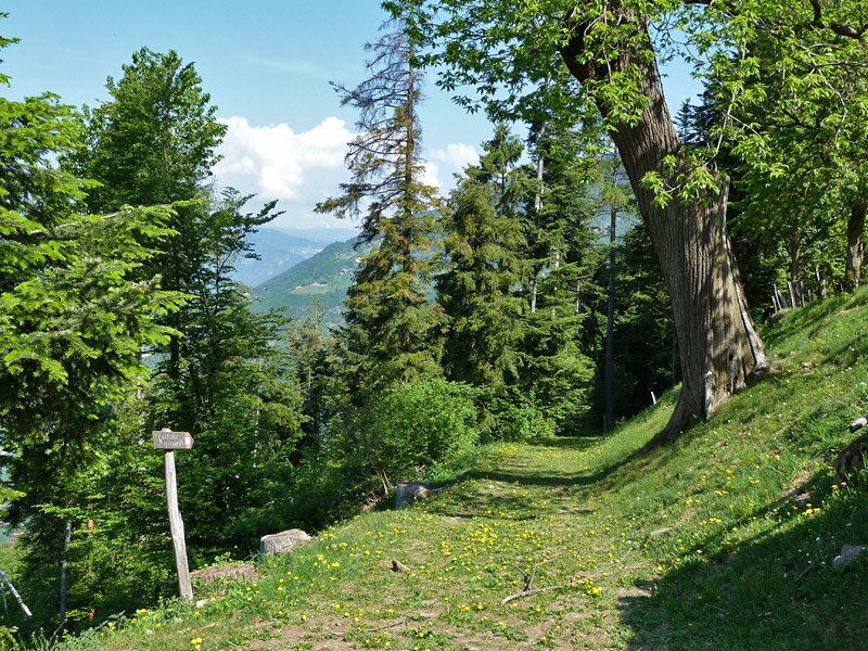
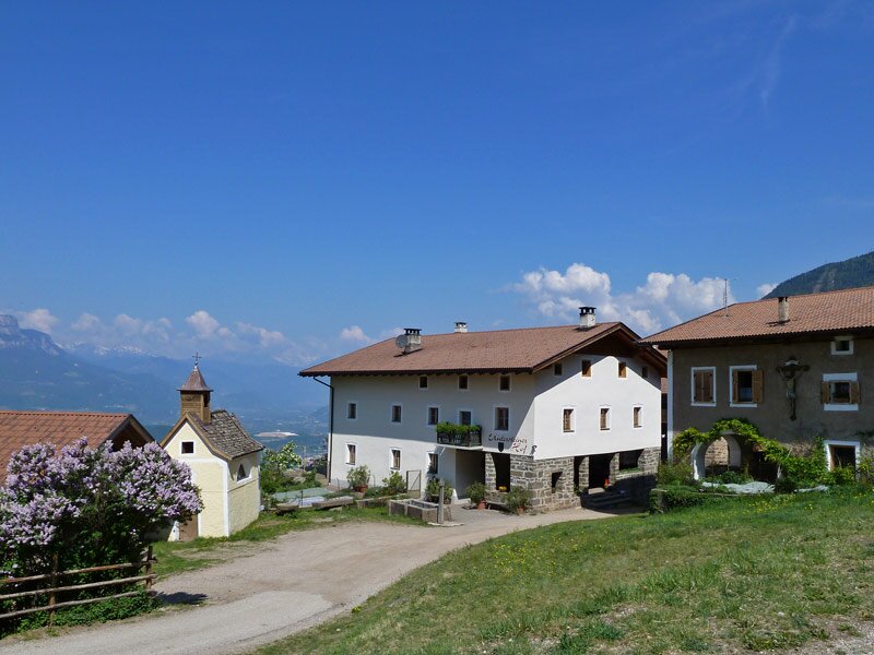
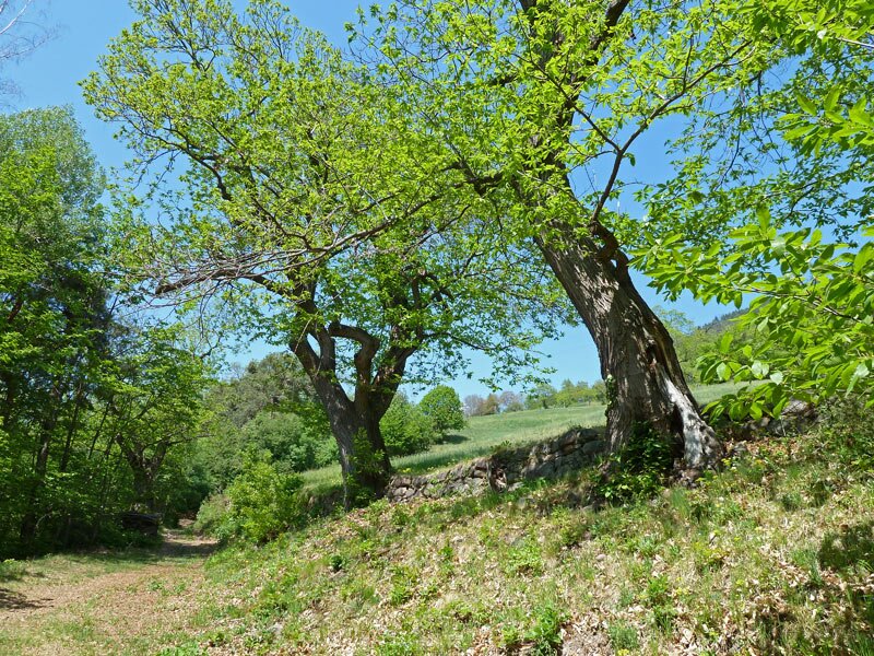
We now walk along the Monte Largo to the Steinerhöfe farms. They form a particularly lovely ensemble with a farm chapel. After a short stretch of asphalt, we walk through the mixed forest into a valley that separates the Monte Largo from the Monte Stretto mountain. A wooden bridge crosses the small stream that flows down to Pineta di Laives. From here, the path climbs steeply to the chestnut meadows of La Costa. By the time we reach the Rechtebner inn, we have already completed the major part of the walk and take our time for a rest and some food.
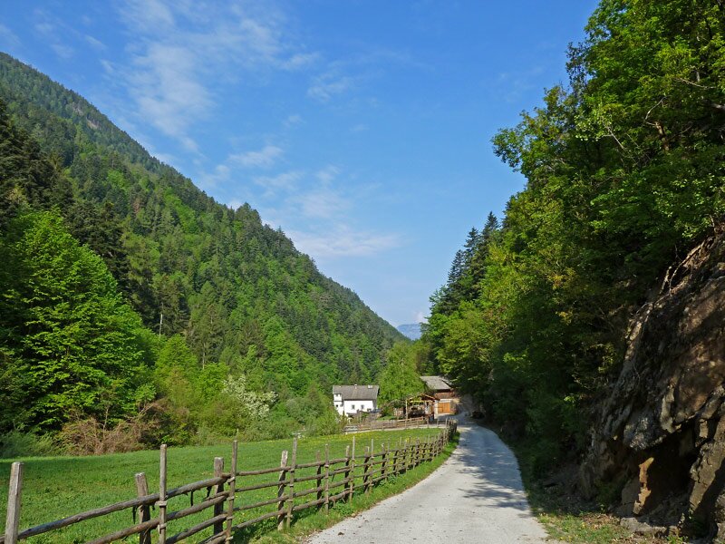
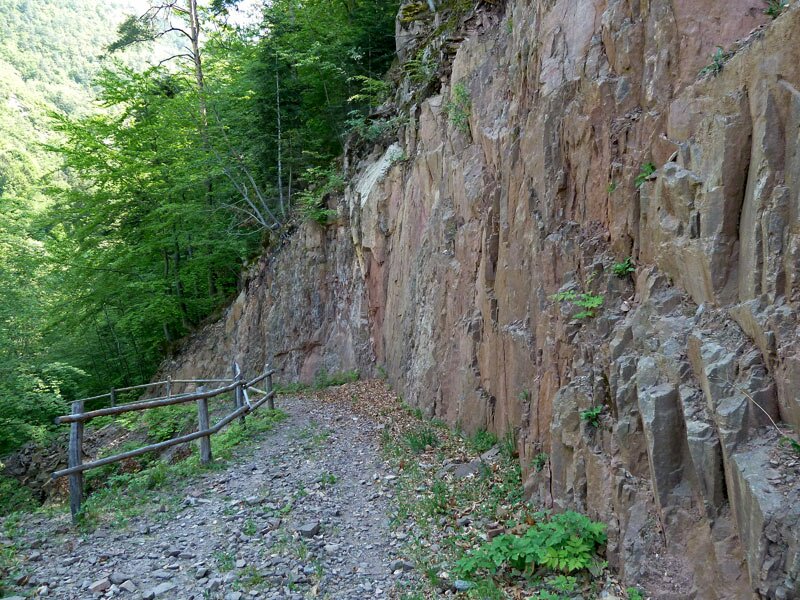
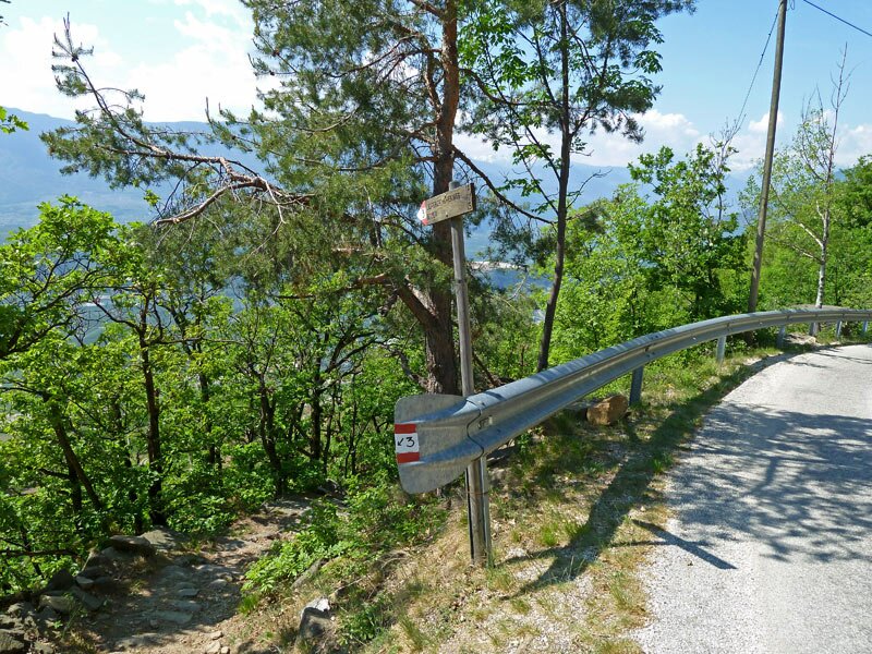
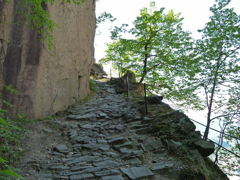
We continue through the forest. Soon, a steady descent begins, which takes us down from around 750 to 250 metres above sea level. We find ourselves on a steep, old cart track carved into the rock. It is hard to imagine that horse-drawn wagons once managed this path!
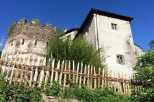
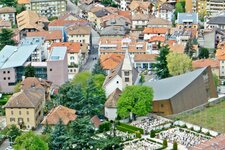
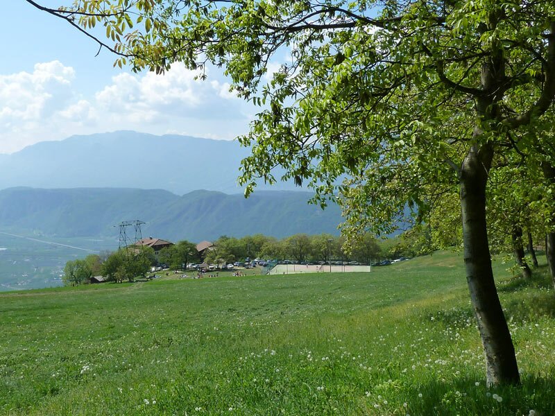
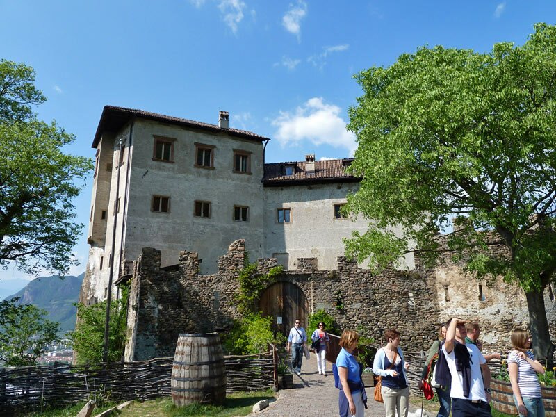
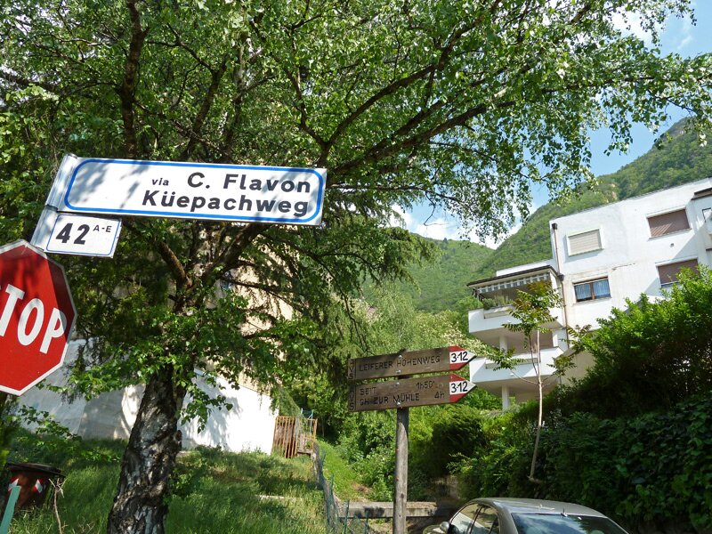
The view over the town of Bolzano and Appiano on the Wine Road is excellent. The next notable spot on the route is Flavon Castle, which we also take a closer look at. Now there is only a short stretch on the Aslago promenade ahead of us. We reach the Via Claudia Augusta road in the Oltrisarco district of Bolzano, and from here the regular bus takes us back to Laives.
Author: AT
Experienced: April 2011
Last updated: 2026
-
- Starting point:
- townhall in the centre of Laives
-
- Overall time:
- 06:00 h
-
- Total route length:
- 17,6 km
-
- Altitude:
- from 246 m to 919 m
-
- Altitude difference (uphill | downhill):
- +941 m | -939 m
-
- Signposts:
- no. 12, 3
-
- Destination:
- Bolzano Oltrisarco-Aslago (246 m a.s.l.)
-
- Resting points:
- Rechtebner inn (bar on Saturdays and Sundays, restaurant only on Sundays for lunch), Flavon Castle restaurant
-
- Recommended time of year:
- Jan Feb Mar Apr May Jun Jul Aug Sep Oct Nov Dec
-
- Download GPX track:
- Hike on the Alta Via di Laives
-
- More information:
- The overall time shown above refers to the walking time only, not including breaks or stops. The dates apply to the hike from Laives to Bolzano - the return journey is by bus. Climbing equipment is not strictly necessary, but you must be sure-footed. Not recommended on hot summer days, as the exposed rocks become extremely hot.
If you want to undertake this hike, we recommend checking the weather and trail conditions in advance and on site before starting this hike!