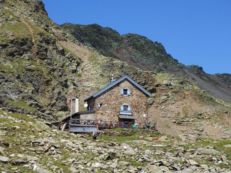
The Forcella Vallaga Mountain Hut is located at almost 2,500 m a.s.l. in the eastern Alpi Sarentine Alps: We discover this hiking destination starting in Valdurna
Image gallery: Hike to the Rifugio Forcella Vallaga
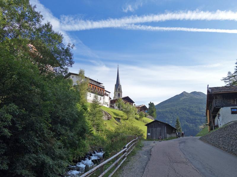
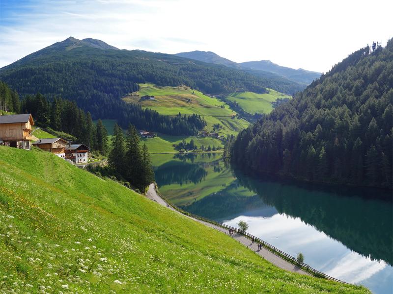
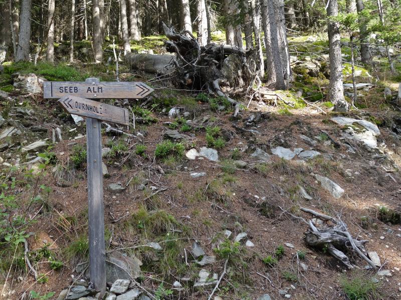
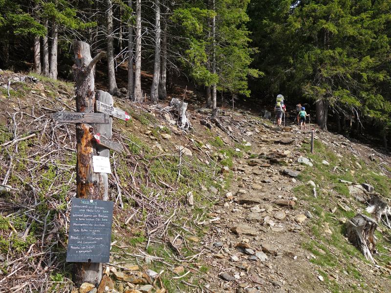
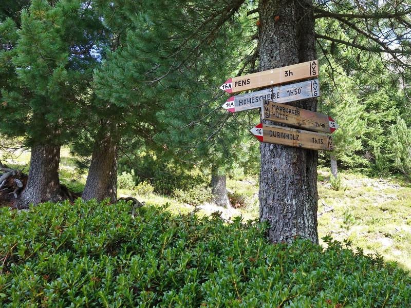
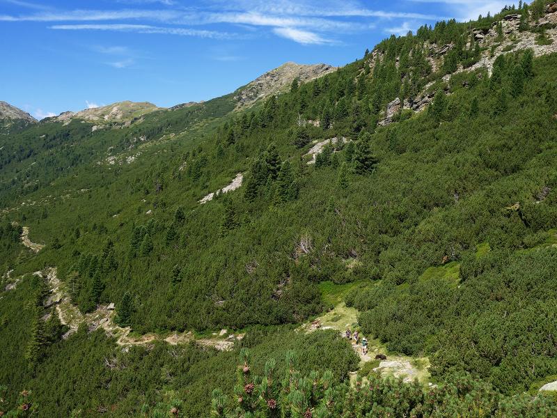
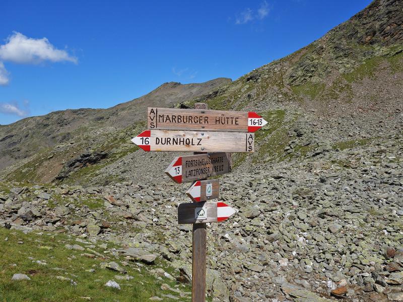

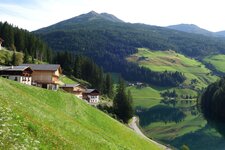
The parking space directly below Valdurna (Durnholz) in the municipality of Sarentino is the starting point for this moderately difficult hiking tour. Through the village centre of Valdurna we walk along the meadow slope towards the Seebalm mountain hut, passing farms. The path, which is asphalted at the beginning, offers great views on Lake Valdurna. We continue on the gravel road through the forest. Passing the Seeb Alm mountain hut, we take the path no. 16.
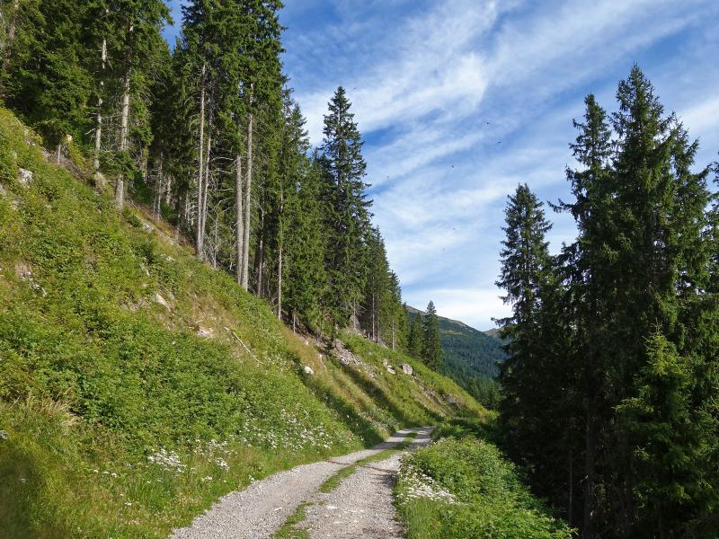
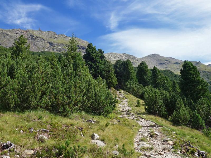
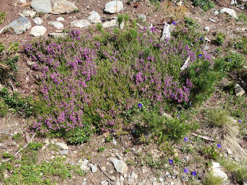
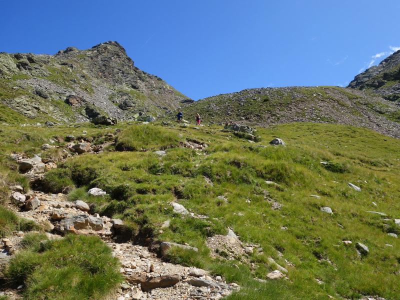
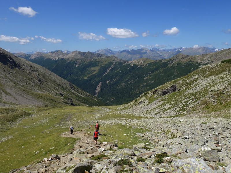
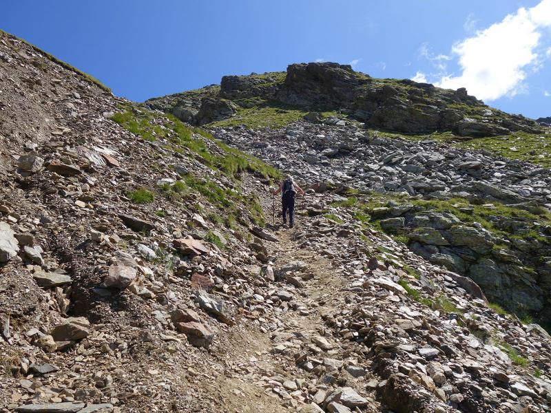
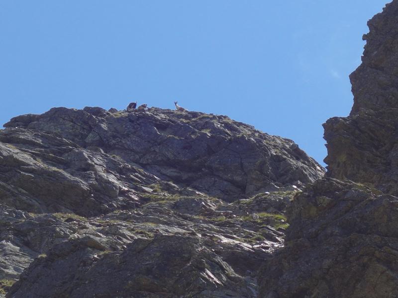
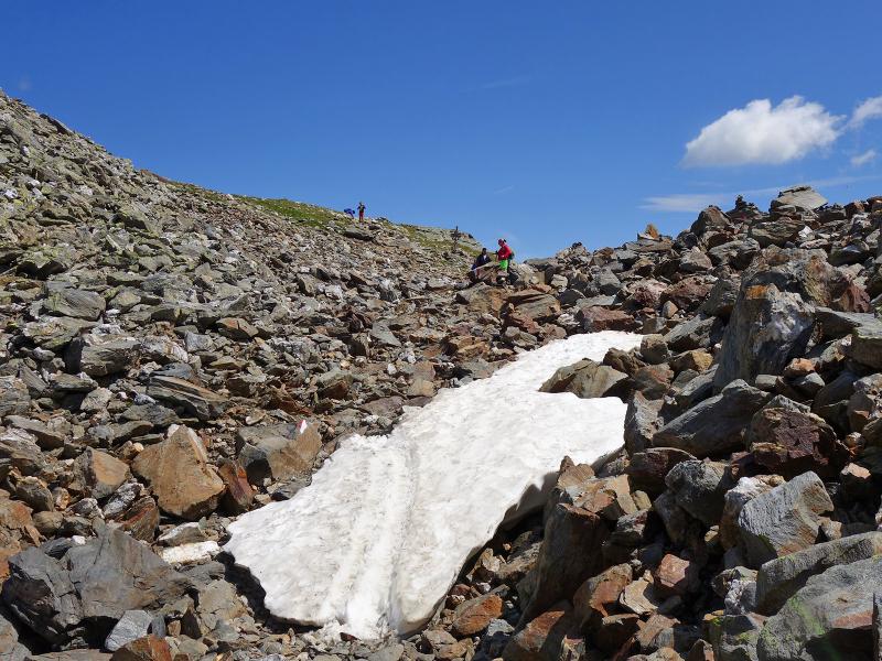
The somewhat stony and partly steep trail leads first through the forest to the timberline, then through mountain pines and high alpine meadows above the 2,000 metre mark. The steepest section comes at the end: the path winds through scree slopes up to the Flaggerscharte ridge, a transition to the Alta Valle Isarco (Wipptal) side of the Alpi Sarentine.
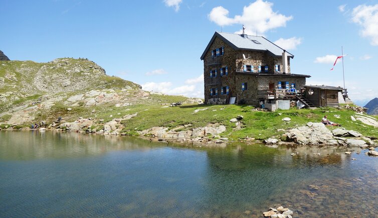
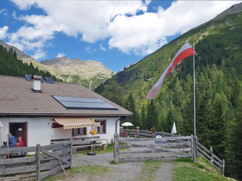
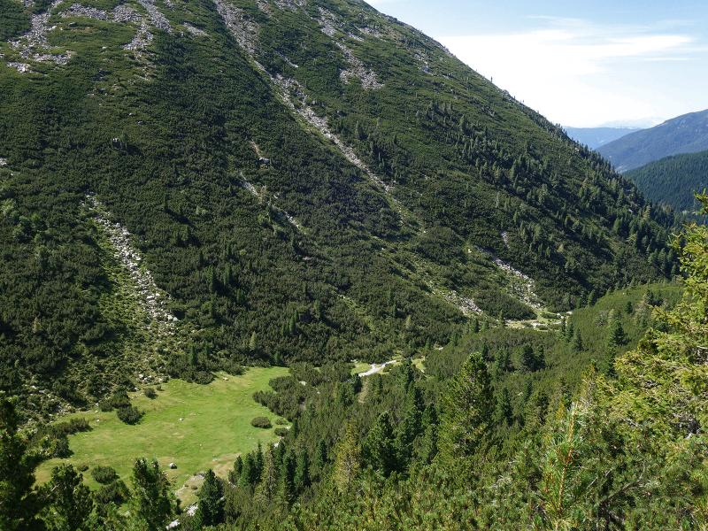
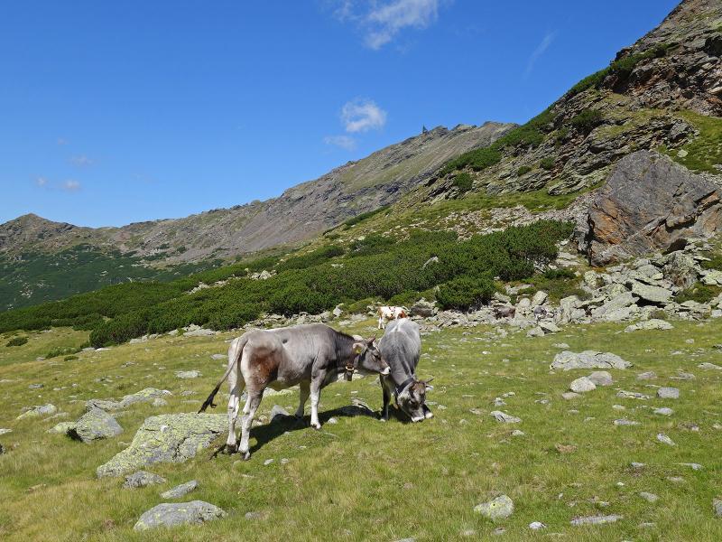
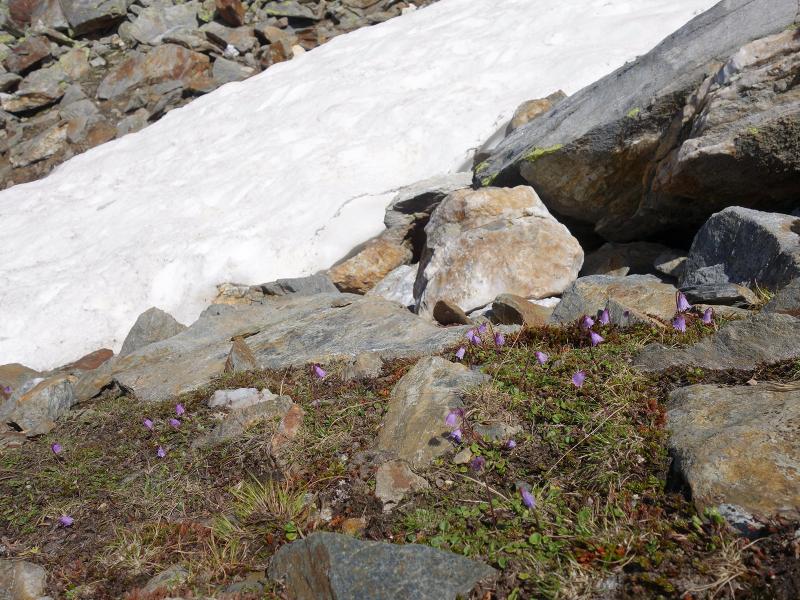
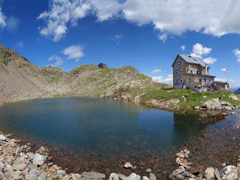
There is still some snow left by the wayside. Now the Rif. Forcella Vallaga (Flaggerschartenhütte or Marburger Siegener Hütte) is not far anymore. In front of the hut there is a small mountain lake, behind it the 2,708 m high Mt. Corno di Tramin (Tagewaldhorn) rises into the sky. The hut is also a station of the famous "Horseshoe Tour" (Hufeisen Tour) through the Alpi Sarentine. Paths lead up to the surrounding mountains and down into the Wipptal valley. After a well-deserved break, we take the same route back to Valdurna.
Author: AT
-
- Starting point:
- parking space below Valdurna (chargeable)
-
- Overall time:
- 05:00 h
-
- Total route length:
- 14,7 km
-
- Altitude:
- from 1.510 m to 2.486 m
-
- Altitude difference:
- +976 m | -976 m
-
- Signposts:
- no. 16, 15
-
- Destination:
- Flaggerscharten-Hütte
-
- Resting points:
- Seebalm mountain hut, Rif. Forcella Vallaga (Flaggerschartenhütte) mountain hut
-
- Recommended time of year:
- Jan Feb Mar Apr May Jun Jul Aug Sep Oct Nov Dec
-
- Download GPX track:
- Hike to the Rifugio Forcella Vallaga
If you want to do this hike, we suggest you to check the weather and trail conditions in advance and on site before setting out.