A hot day draws us to Mt. Corno del Renon - the Cima Lago Nero Panorama Path is ideal for leisure hikers and families
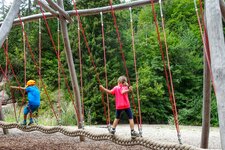
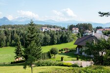
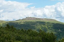
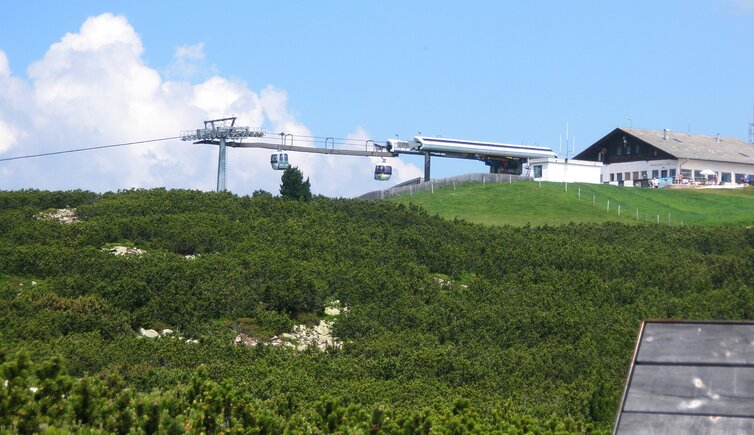
Image gallery: Hike at the Cima Lago Nero

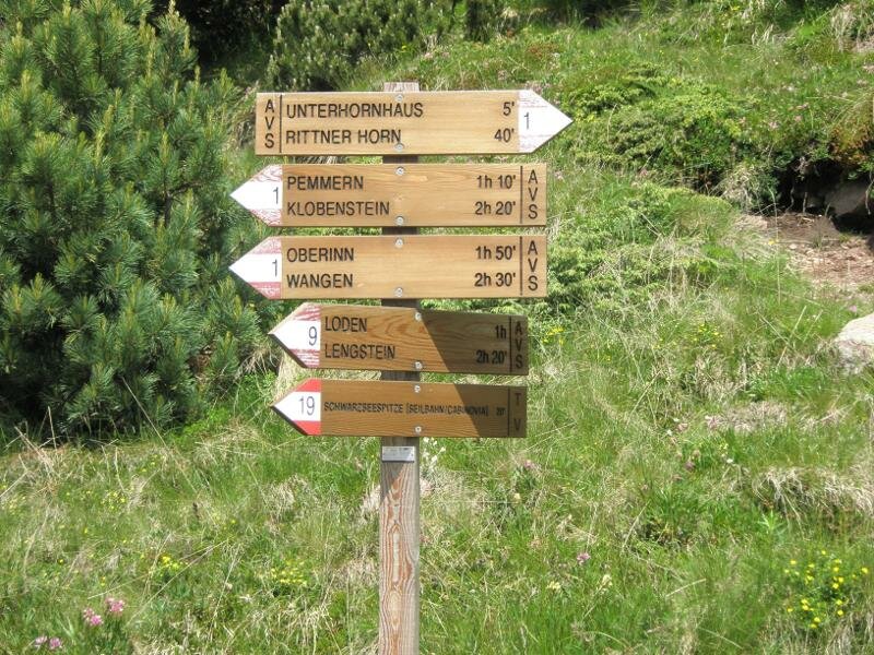
It is a hot July day that makes us seek the cooler temperatures of the Renon plateau. Our hike begins at the Cima Lago Nero mountain station, which we reach via the cable car from Tre Vie (Pemmern) near Collalbo. Here, above the 2,000-metre mark, we enjoy the refreshing cool air.
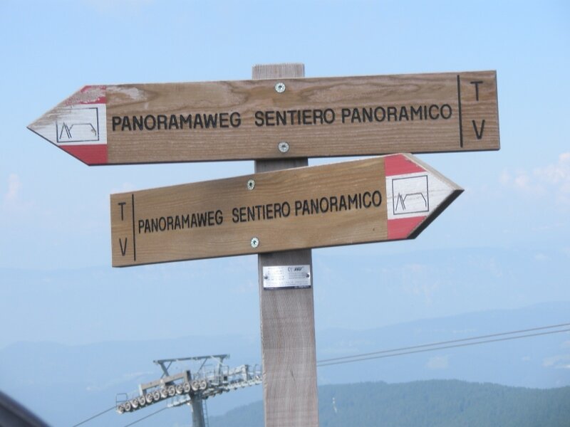
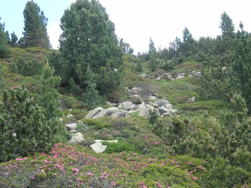
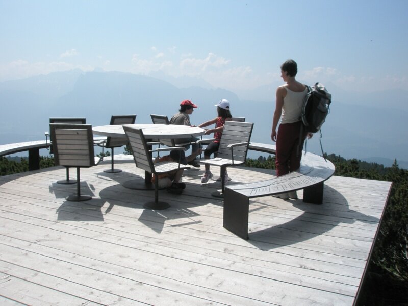
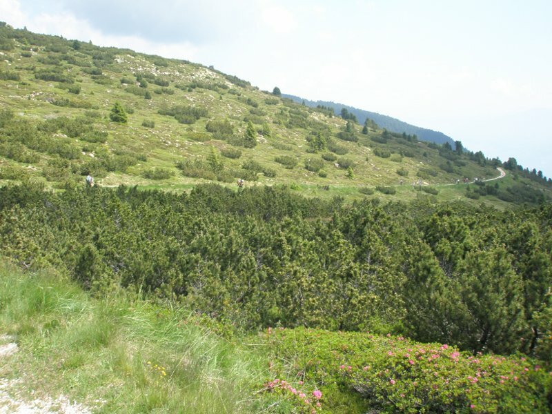
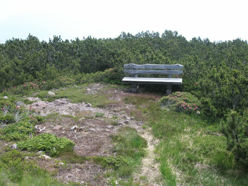
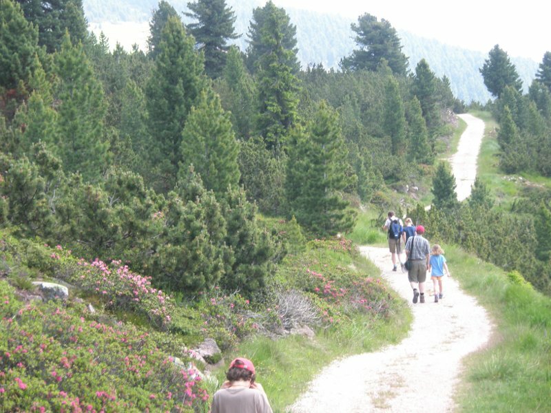
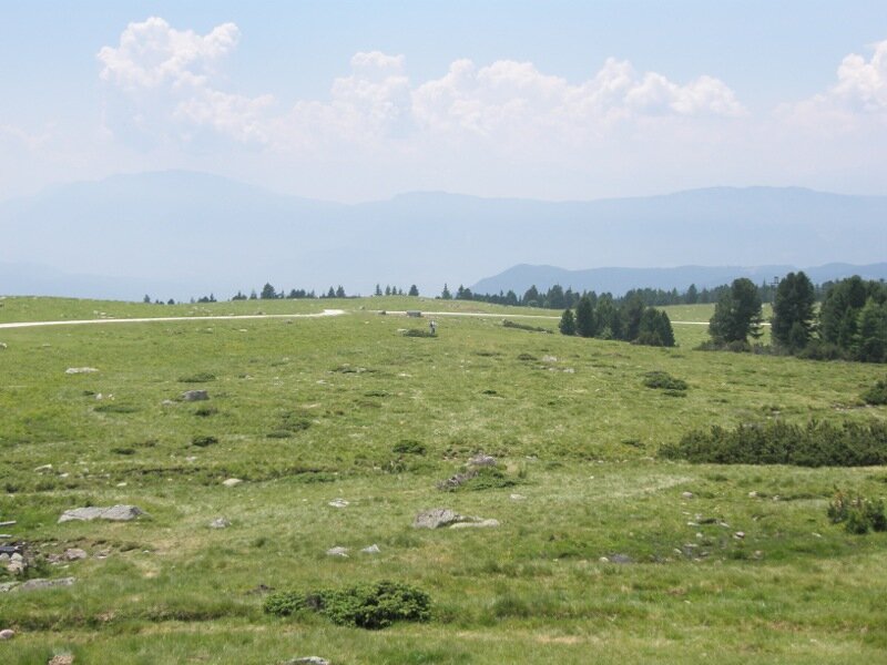
This is the starting point of the Cima Lago Nero Panorama Path, which leads through small mountain pine woods, across sparse alpine meadows, and past blooming alpine roses. Illustrated descriptions of mountain pines, Swiss stone pines, and other trees line the path. After a few minutes, we stop at a fascinating viewpoint called the "Round Table".
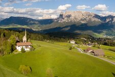
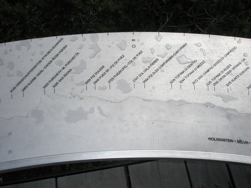
It provides not only seating but also the "Dolomitoscope", which identifies the individual peaks. The Catinaccio, Latemar, Sciliar, Alpe di Siusi, Marmolada, Sassolungo and Sasso Piatto, Odle di Eores, Sasso Putia and, right at the back, the Zillertal Alps are all visible. The easy hiking trail below the Corno del Renon takes us along the Cima Lago Nero to the Corno di Sotto mountain inn.
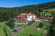
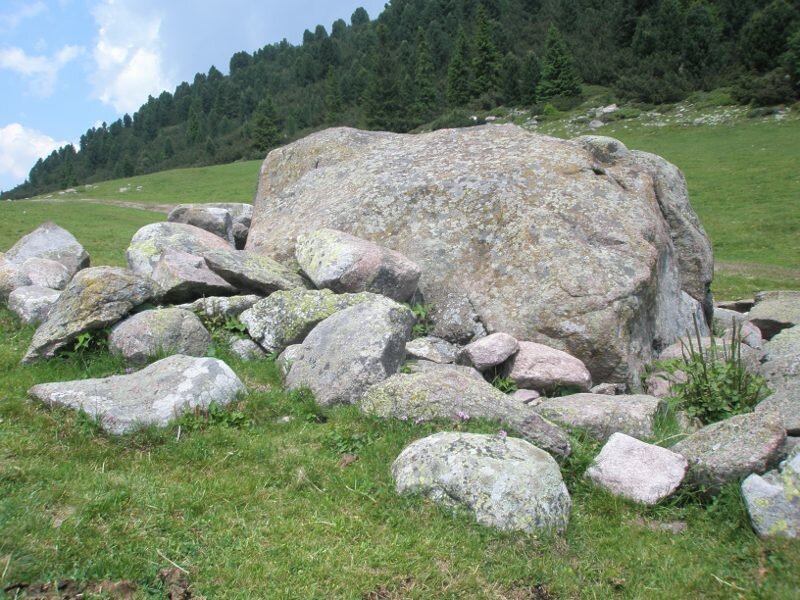
Here we stop for a bite to eat; next to it is the unique alpine rock garden. Finally, we decide to walk down into the valley. On path no. 1, we hike across beautiful alpine meadows under the high-altitude sun of Renon down to Tre Vie, where we arrive after two hours.
By the way, you can also extend this hike and turn it into the "South Tyrolean Sky Tour". It leads from the Cima Lago Nero (Schwarzseespitze) mountain station via the Panorama Path to the mountain pine oil distillery on the Barbiano Alp, where you can taste Swiss stone pine and mountain pine schnapps, and then back again (16.5 kilometres and at least five hours).
Author: RD
Experienced: July 2010
Last updated: 2026
-
- Starting point:
- Cima Lago Nero mountain station on the Corno del Renon (2,060 m a.s.l.)
-
- Overall time:
- 02:00 h
-
- Total route length:
- 6,7 km
-
- Altitude:
- from 1.531 m to 2.060 m
-
- Altitude difference (uphill | downhill):
- +58 m | -597 m
-
- Signposts:
- "Panoramaweg", no. 1
-
- Destination:
- Cima Lago Nero valley station in Tre Vie (1,531 m a.s.l.)
-
- Resting points:
- Cima Lago Nero inn (May to October), Corno di Sotto mountain inn
-
- Recommended time of year:
- Jan Feb Mar Apr May Jun Jul Aug Sep Oct Nov Dec
-
- Download GPX track:
- Hike at the Cima Lago Nero
-
- More information:
- The overall time shown above refers to the walking time only, not including breaks or stops. We reach the starting point via the Corno del Renon Cable Car, which operates from May to November. We walk back to the valley station (which explains the significant difference in elevation gain and loss).
If you want to undertake this hike, we recommend checking the weather and trail conditions in advance and on site before starting this hike!