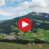
A 4-hour hike with panoramic views of the Val Sarentino and the Dolomites begins just above Sarentino village
Image gallery: Hike from Sarentino to the Forcella Sarentina
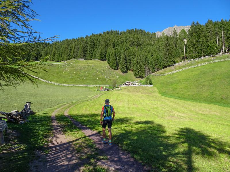
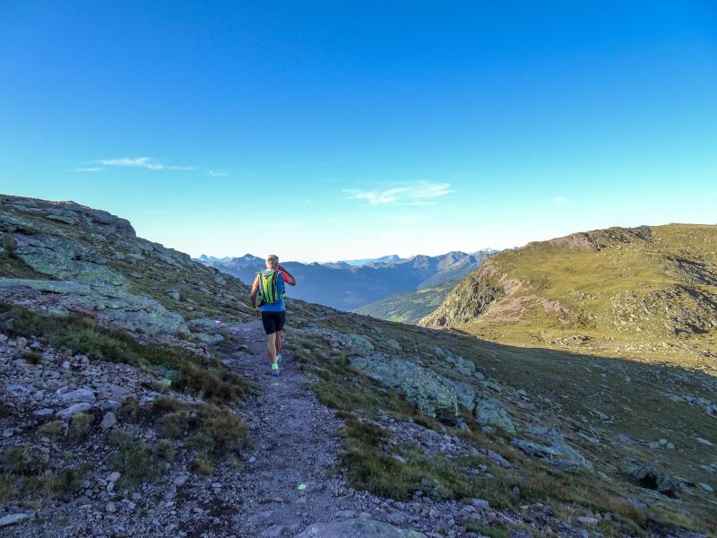
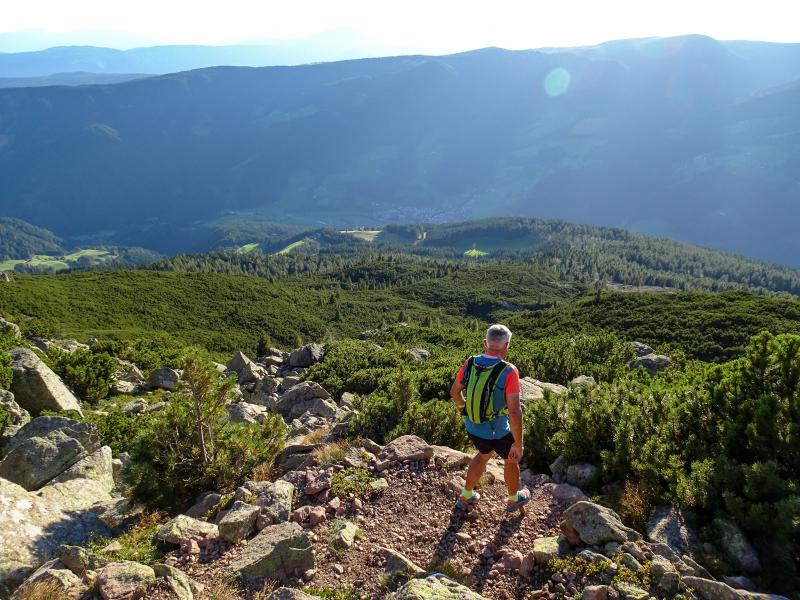
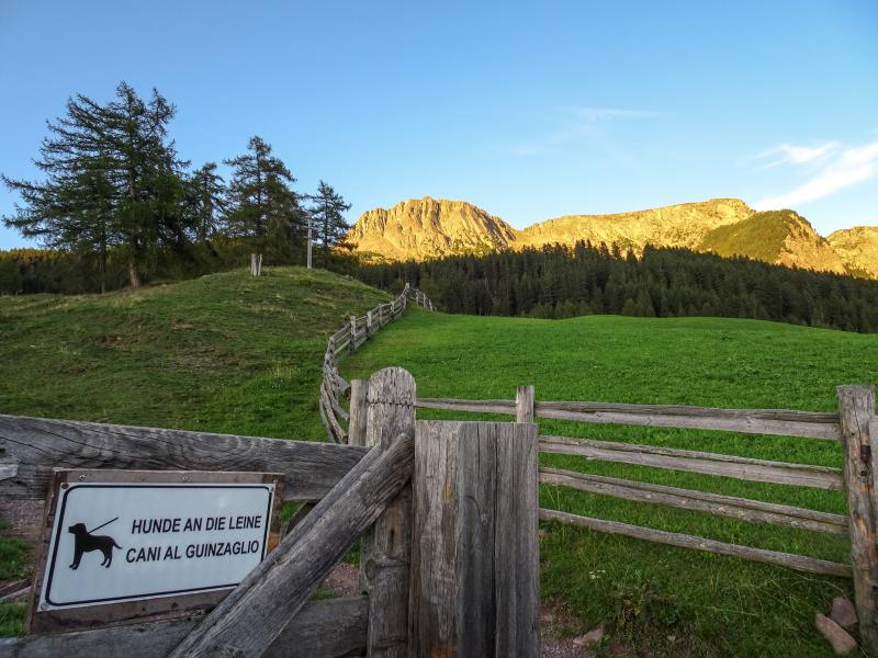
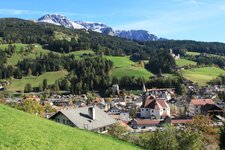
This route takes us to the Val Sarentino near Bolzano on a sunny late summer day. The Riedelsberg car park, our starting point, is located just above Sarentino village (Sarnthein). A pleasant country path initially leads us towards the Tengler Hut along path no. 3. It then follows an ascending forest trail towards the east. The hike takes us deeper into the woods.
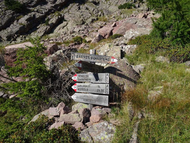
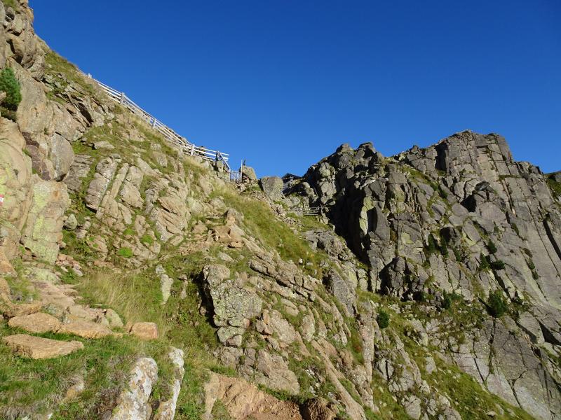
We turn right at the first junction, heading towards the Forcella Sarentina ridge on path no. 3. The left-hand alternative also leads to the same destination, but it goes via Bronleit on path no. 3A. We choose the first option. Our hike now becomes increasingly steep. The final kilometre zigzags constantly upwards towards the summit at 2,458 metres above sea level.
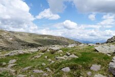
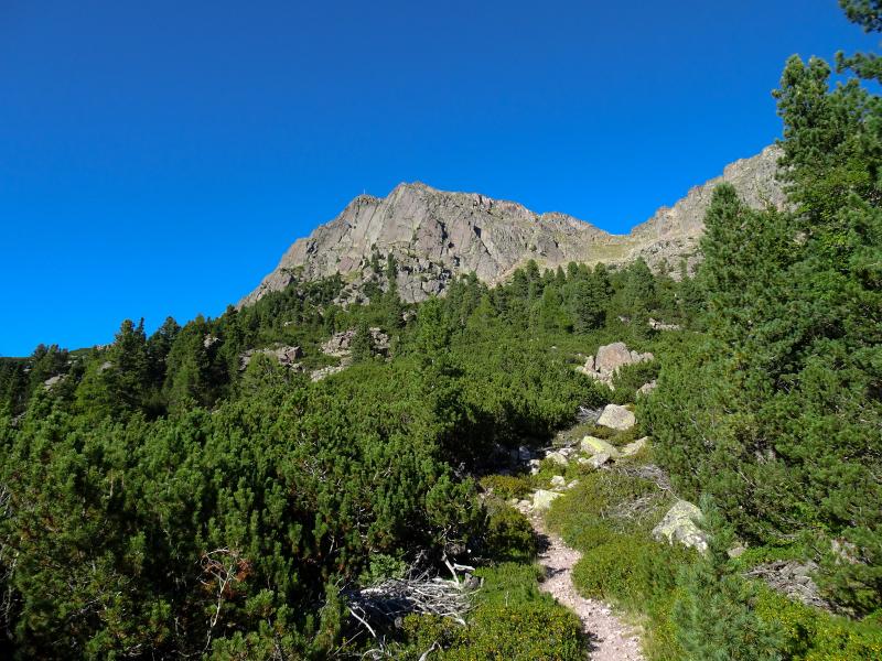
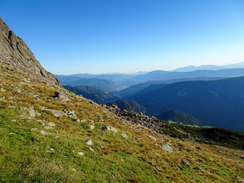
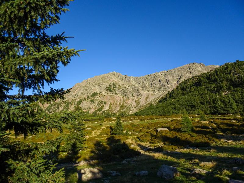
The Forcella Sarentina is a rocky massif with slab-like pillars that is clearly visible from Sarentino village. It is one of the southernmost high peaks in the eastern ridge of the Sarentino Alps. The western face drops steeply into the Val Sarentino, while the eastern side slopes towards the Villandro Alp: It can also be climbed from there by undertaking a 6-hour mountain tour.
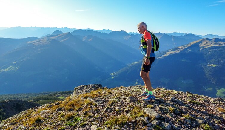
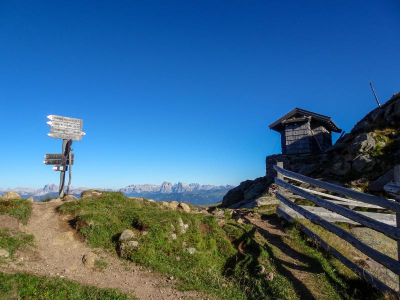
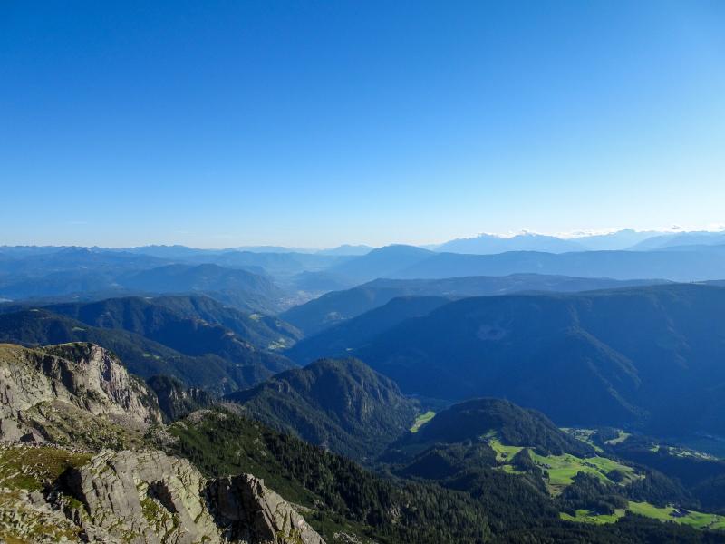
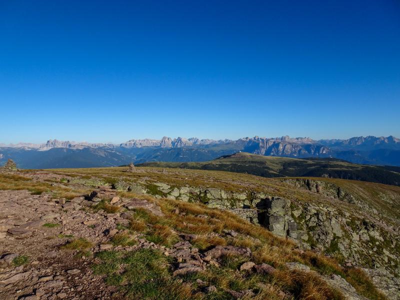
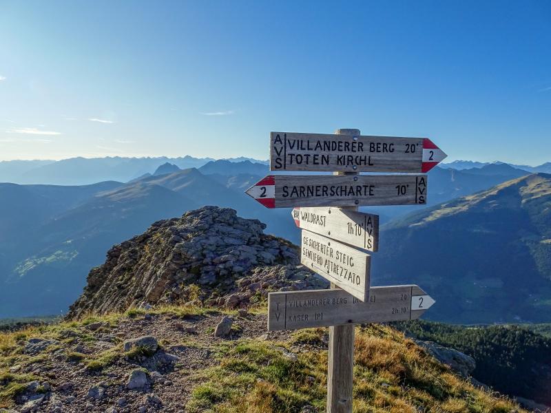
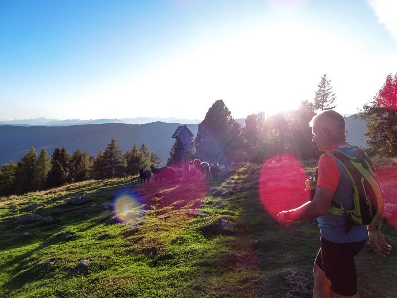
Soon after, we reach the bivouac at the "Schartl" and follow path no. 2 to the left. The summit cross is now only a 15-minute walk away. Reaching the top makes the climb worthwhile due to the far-reaching views. The clear 360-degree view allows us to see the Corno del Renon, the Val Sarentino stretching to the Passo di Pénnes, the Dolomites, and various other peaks. The route then continues north for 500 metres to a junction, before we begin our descent on trail no. 18A.
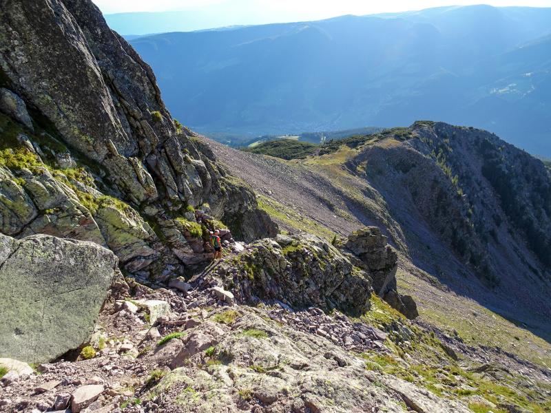
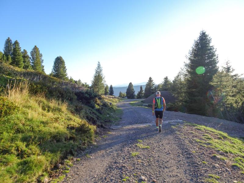
This section is a "secured trail", which means that a fixed rope is attached to the rock face. Only the first 200 metres of descent in altitude are steep and challenging. The path then levels out as it approaches a meadow. The final stretch consists of a three-kilometre forest track that leads down to the road. We return to the car park after four hours of walking. Although the trail features safety ropes, sure-footedness and a good head for heights are absolutely necessary.
Author: AP
Experienced: September 2019
Last updated: 2026
-
- Starting point:
- Riedelsberg car park above Sarentino village (1,494 m a.s.l.)
-
- Overall time:
- 04:00 h
-
- Total route length:
- 11,1 km
-
- Altitude:
- from 1.494 m to 2.458 m
-
- Altitude difference (uphill | downhill):
- +971 m | -971 m
-
- Signposts:
- no. 3, 2, 18a
-
- Destination:
- Forcella Sarentina ridge (2,458 m a.s.l.)
-
- Resting points:
- Tengler Hut (June to October), Waldrast mountain inn (May to October/November)
-
- Recommended time of year:
- Jan Feb Mar Apr May Jun Jul Aug Sep Oct Nov Dec
-
- Download GPX track:
- Hike from Sarentino to the Forcella Sarentina
-
- More information:
- The overall time shown above refers to the walking time only, not including breaks or stops.
We highly recommend checking the weather and trail conditions in advance and on site before starting this tour.