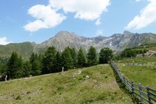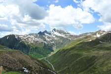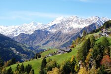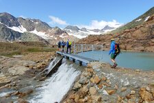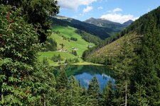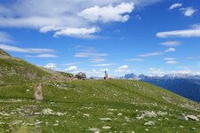
Like a horseshoe, the mountain chain of the Sarentino Alps surrounds the Val Sarentino valley in the heart of South Tyrol - it can be explored on the Horseshoe High Route within seven days
Image gallery: Sarentino Alps
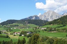
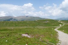
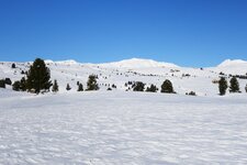
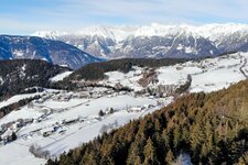
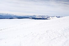
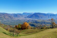
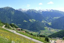
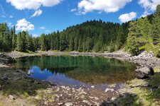
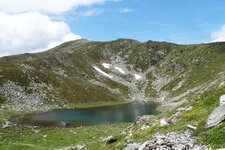
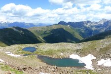
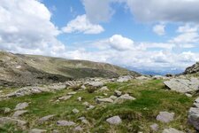
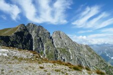
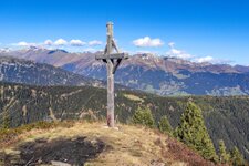
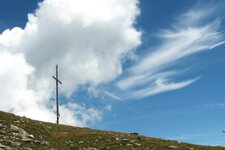
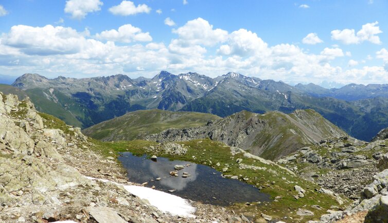
Really high mountains can only be found in the northern part, an area which nearly resembles a high mountain region. Towards south the mountains of the Sarentino Alps bottom out and form large plateaus, like the Monte Zoccolo in the west, the Villandro Alp in the east and the Renon High Plateau in the south. The highest mountains are Mt. Corno Bianco (2,705 m a.s.l.) in the name-giving Sarentino, Mt. Corno di Tramin (2,708 m a.s.l.), Mt. Cima di San Cassiano and Mt. Grande Ivigna (both 2,581 m a.s.l.). The boundaries of the Sarentino Alps are the Adige and Isarco Rivers, the Val Passiria near Merano and the Giovo Pass. The street leading from Vipiteno to Bolzano via the Pennes Pass devides the Sarentino Alps into an eastern and a western part.
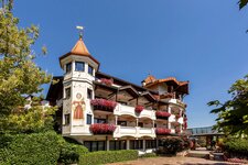
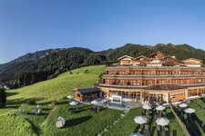
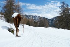
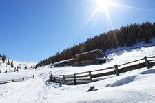
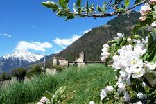
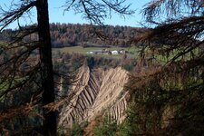
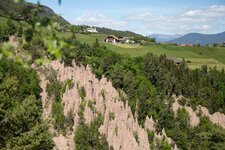
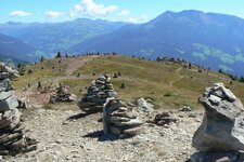
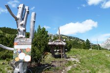
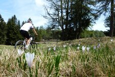
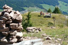
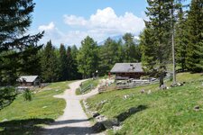
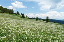
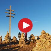
Fascinating places such as the Earth Pyramids of the Renon, the "Stone Men" and the Holy Cross Church of Lazfons, one of the highest located pilgrimage sites of South Tyrol, are completed by numerous hikes such as the one to the Malga Seeb in the Sarentino Valley, MTB tours, and snow-shoe hikes and ski tours in winter. With 40,000 hectares, the Sarentino Alps would be the largest nature park in South Tyrol, which including the villages of Sarentino, Avelengo, Renon, Verano, San Genesio, Meltina, Racines, Campo di Trens, Fortezza, Varna, Bressanone, Velturno, Villandro, Barbiano, Chiusa. All requirements have already been fulfilled - a protected area is in the planning.
- Highest peak: Punta Cervina (2,781 m a.s.l.)
- Most significant mountains: Mt. Corno Bianco, Mt. Corno di Tramin, Mt. Corno del Renon, Mt. Cima di San Cassiano, Mt. Pascolo, Mt. Picco Ivigna
- Area: South Tyrol (Italy)