The 2,590 m high Corno del Ceppo, a beautiful panoramic mountain in the Sarentino Alps, can be reached from Scaleres or Sarentino
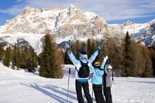
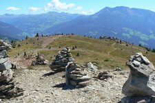
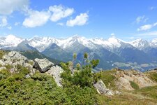
Image gallery: Ski tour to Mount Corno del Ceppo
Starting point for our tour is the parking space at the head of the valley of Scaleres (Schalders), that can be reached via Varna in the Valle Isarco valley. Via a narrow mountain road and farther across a non-asphalted road leading to the Steinwend Farms, you reach the hikers' parking space. From there we proceed on skis, following the signpost "Corno del Ceppo/Schrotthorn".
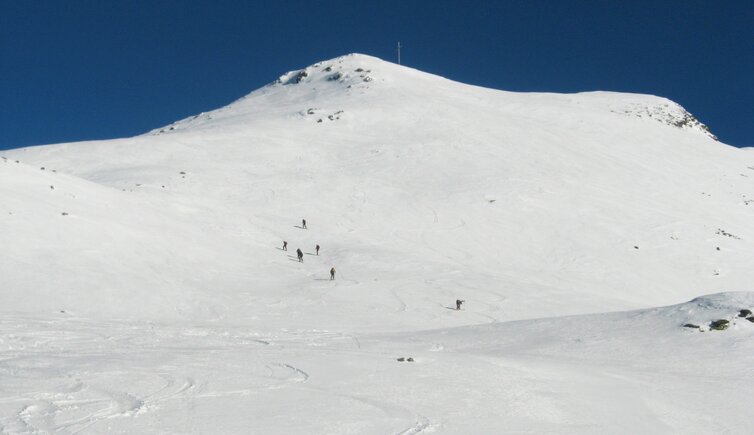
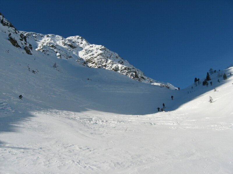
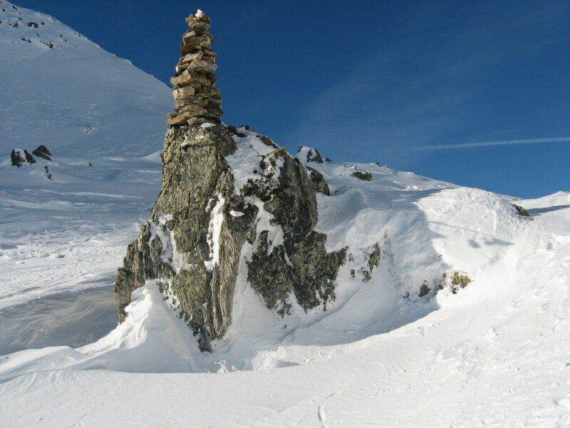
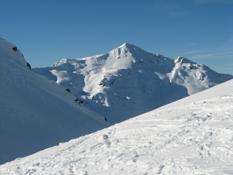
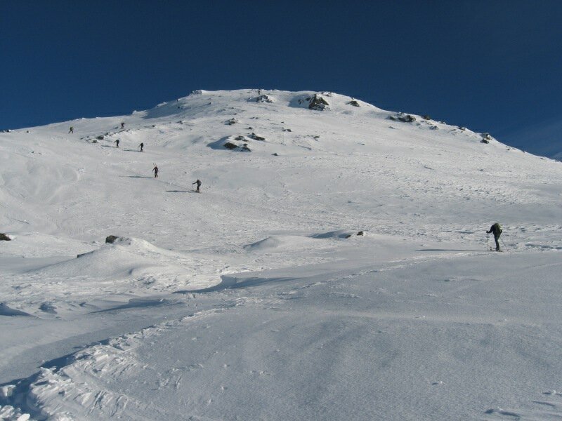
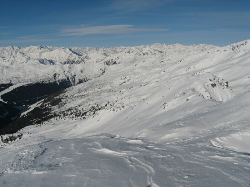
The path parallels the Rio di Scaleres stream and leads across the forest (exhausting if the path is icy). The forest clears up and a long, partially also steep couloir is visible that is scaled heading for the Forcella di Scaleres ridge (Schalderer Scharte, 2,324 m a.s.l.), which is marked by a cairn, a so-called "Stone Man". Now we turn to the right in order to scale the summit slope of Mt. Corno del Ceppo (Schrotthorn). If the snow is crusted we recommend ski crampons!
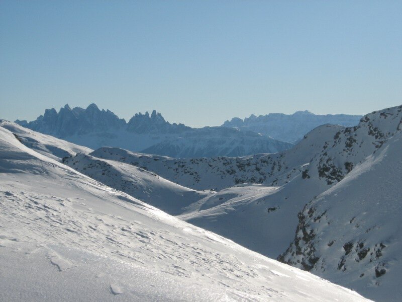
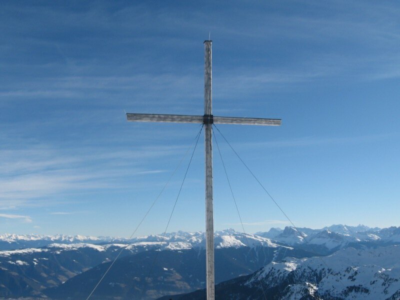
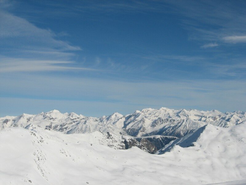
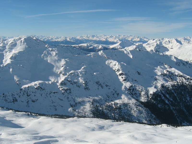
The summit provides a fantastic 360° degree, not only on the Sarentino Alps, but also on the Zillertal Alps and the Dolomites. We ski down along the way we walked up, with secure conditions you can also ski down the south-east flank of the mountain, that is avalanche-prone. Easy to medium difficulty, no Alpine techniques difficulties.
Author: BS
-
- Starting point:
- parking space at the head of the valley, Scaleres/Varna
-
- Overall time:
- 03:00 h
-
- Total route length:
- 5,1 km
-
- Altitude:
- from 1.450 m to 2.586 m
-
- Altitude difference (uphill | downhill):
- +1137 m | -0 m
-
- Route:
- Time required and track length refer to the ascent
-
- Destination:
- Mount Corno del Ceppo
-
- Recommended time of year:
- Jan Feb Mar Apr May Jun Jul Aug Sep Oct Nov Dec
-
- Download GPX track:
- Ski tour to Mount Corno del Ceppo
-
- More information:
- Orientation of the slope: E, SE
We highly recommend checking the weather conditions in advance and on site before starting your tour. Don’t forget to check the current avalanche forecast!