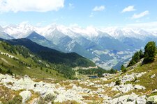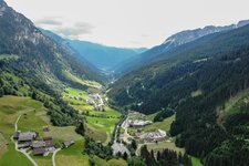
The famous Zillertal Alps with its eponymous high-altitude nature park stretch from the Krimmler Achental valley in Austria via the Brennero Pass to the Valle di Fundres valley in South Tyrol
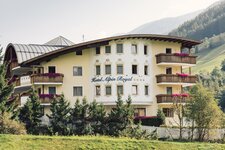
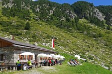
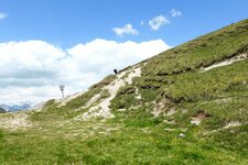
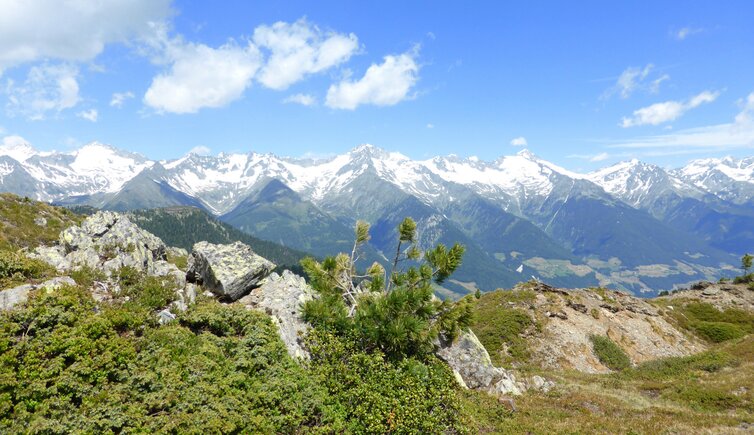
Image gallery: Zillertal Alps


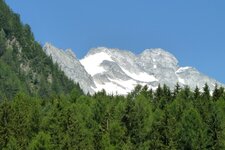
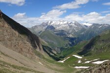
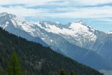
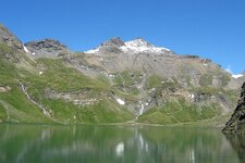
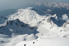
The Zillertal Alps, a subgroup of the European Central Alps, are called Zillertaler Alpen in German and Alpi della Zillertal in Italian. They are situated at the border of Austria and Italy, mostly on Tyrolean territory, whereas one mountain peak is part of Salzburg. The highest mountains are Mt. Gran Pilastro (3,510 m a.s.l.), Mt. Gran Mèsule (Big Mèsule, 3,478 m a.s.l.) and Mt. Hochfernerspitze (3,463 m a.s.l.). In North Tyrol, the Zillertal Alps are protected in the Zillertal Alps Nature Park. The mountain chain can be classified into the following subgroups: Tux Ridge, Zillertal Main Ridge, Reichenspitz Group, Eastern Zillertal Ridges as well as Fundres Mountains and Aurine Alps.
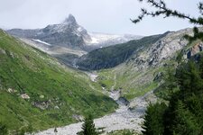
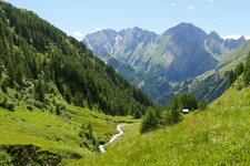
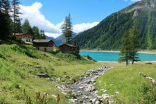
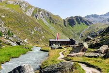
The latter are situated on South Tyrolean territory - the Fundres Mountains in Fundres and the Aurine Alps in the Valle Aurina. The Fundres Mountains include some popular peaks such as Mt. Gran Pilastro (3,510 m a.s.l.) and Mt. Picco della Croce (3,134 m a.s.l.). The glaciers in this area are slightly smaller and higher located than in other regions. Worthwhile in the Aurine Alps, however, is a mountain tour from Lake Neves to the Ponte di Ghiaccio Hut at 2,545 m a.s.l. and the one to the Daimer Hut. In the Valle Isarco, above all the hike to the Vipiteno Hut has to be mentioned.
- Highest peak: Mt. Gran Pilastro (3,510 m a.s.l.), first ascent on July 24, 1865, by Paul Grohmann, Georg Samer and Peter Fuchs
- Most significant mountains: Mt. Gran Mèsule, Mt. Hochfernerspitze, Mt. Lovello, Mt. Picco della Croce
- Area: South Tyrol (Italy), North Tyrol and Salzburg (both in Austria)