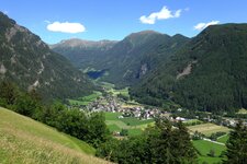
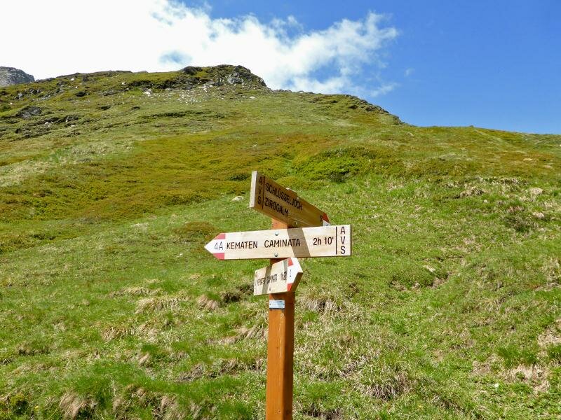
From Caminata, the route climbs steeply to the Passo Chiave which connects the Upper Valle Isarco with the Val di Vizze
Image gallery: Hike to the Passo della Chiave in the Val di Vizze
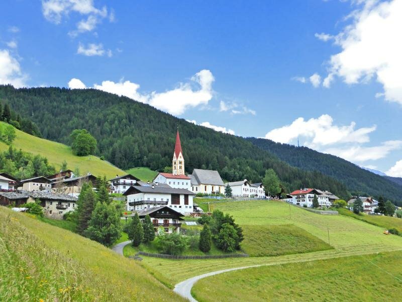
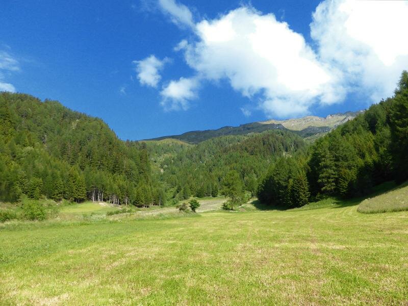
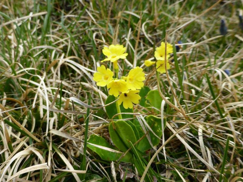
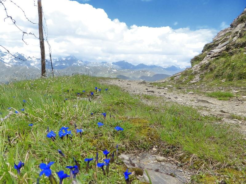
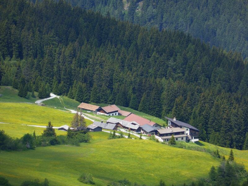
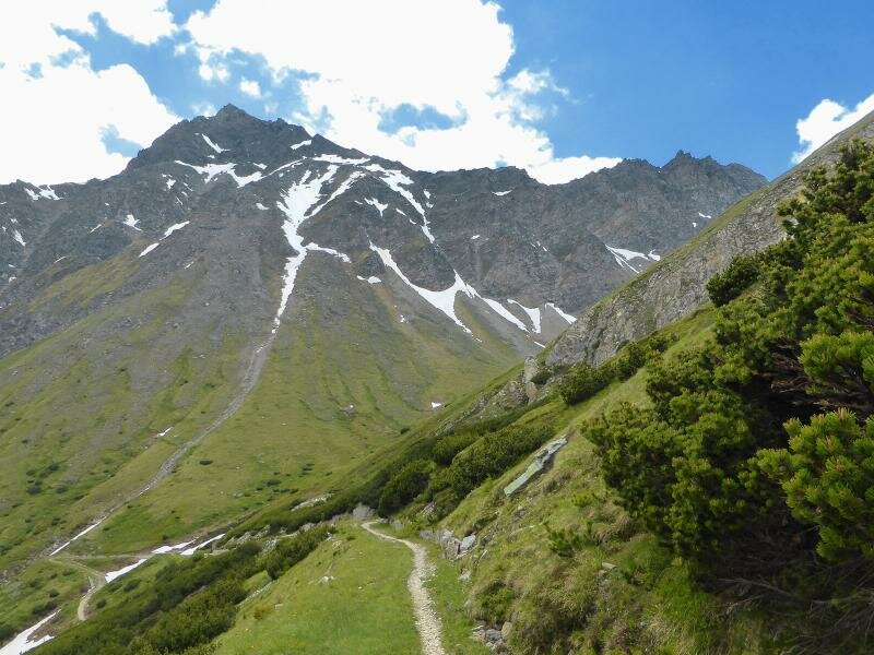
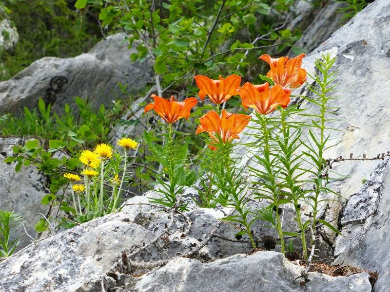
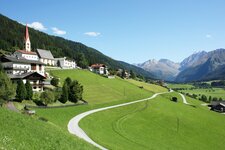
In the high mountains, June is certainly still a spring month: It is not uncommon to find snow above the tree line. However, spring also means flowering landscapes and high alpine pastures turning green. Our hike starts at the western edge of Caminata di Vizze di Fuori, where we follow path no. 4 uphill on the northern side of the valley. We soon leave farms and meadows behind.
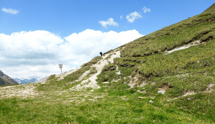
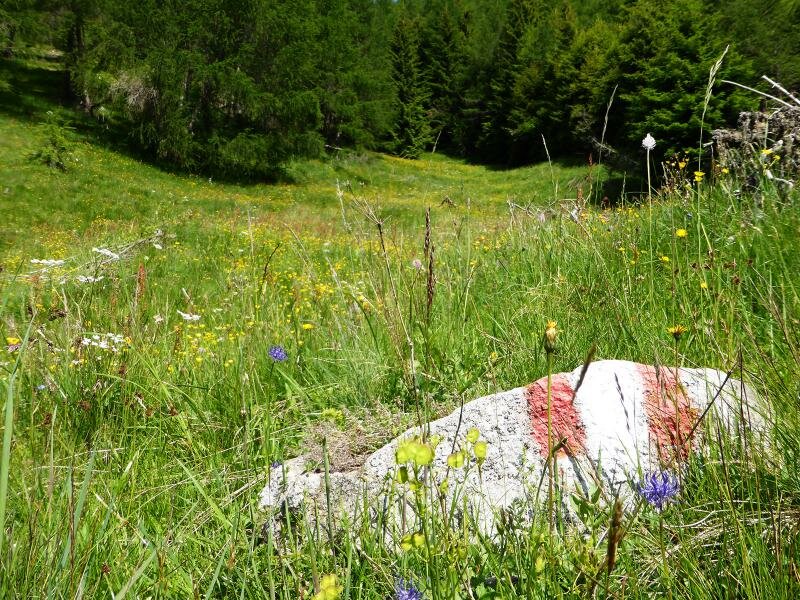
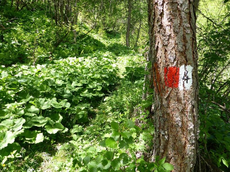
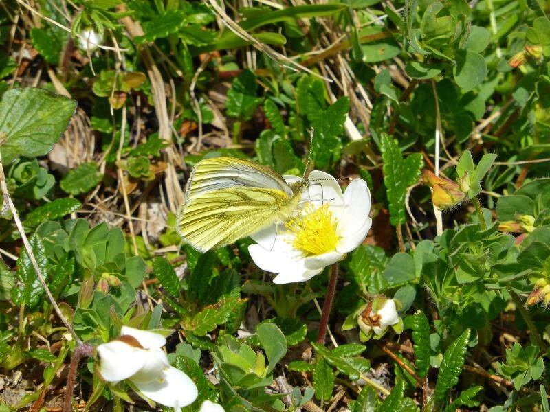
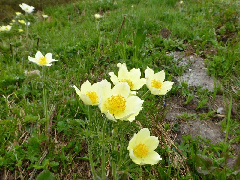
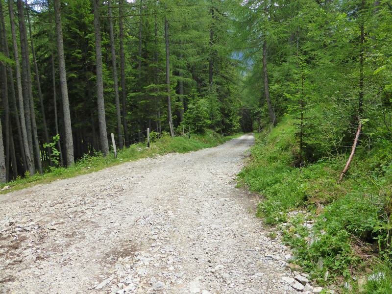
Entering the larch forest we need to pay close attention to avoid losing sight of the waymarks, as the path is not always clearly visible without them. Where bright yellow globeflowers give way to sulphur anemones, the forest ends, and the high alpine heathland opens up.
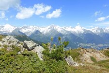
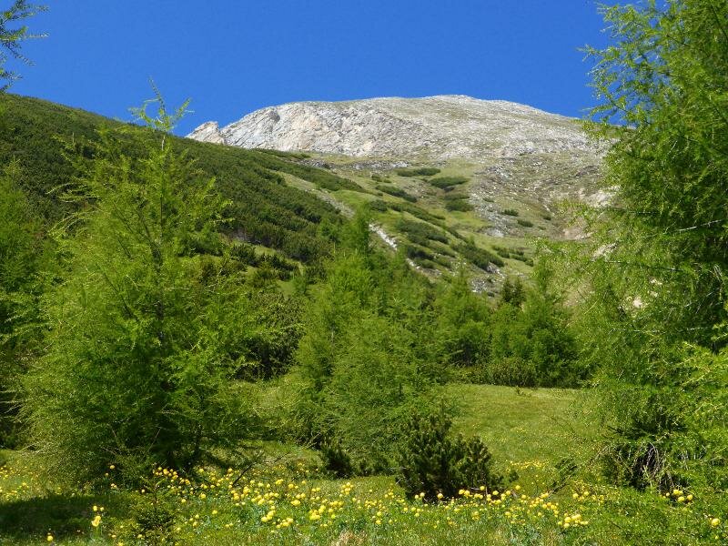
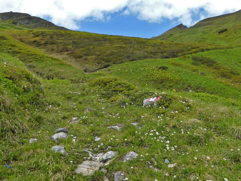
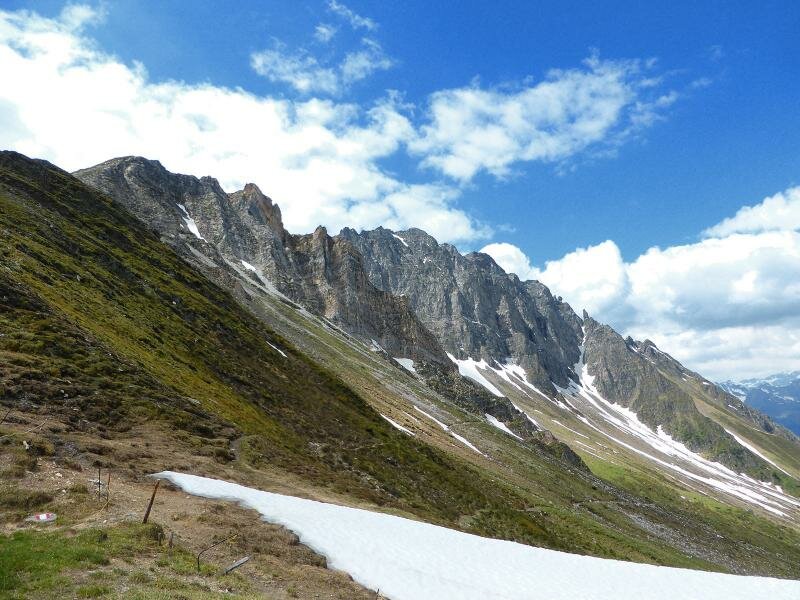
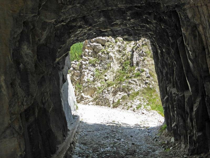
Shortly before the Passo della Chiave, the trail joins the old military road, which we follow around the final bends up to the pass. At the highest point, at an altitude of 2,212 metres, the view opens up over the Upper Valle Isarco above Brennero and the landscape along the main Alpine ridge. The Passo della Chiave, or Schlüsseljoch, is located in the Tux Ridge of the Zillertal Alps.
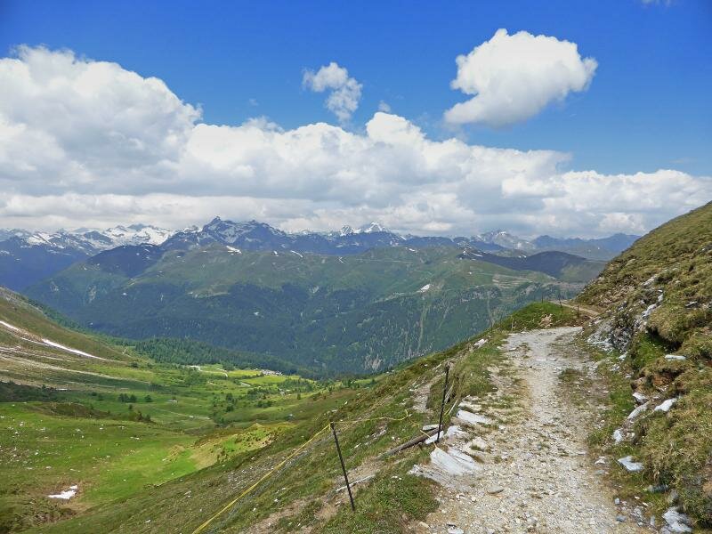
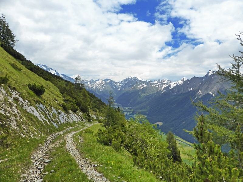
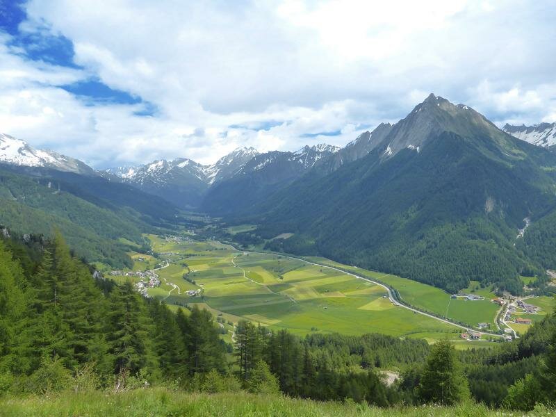
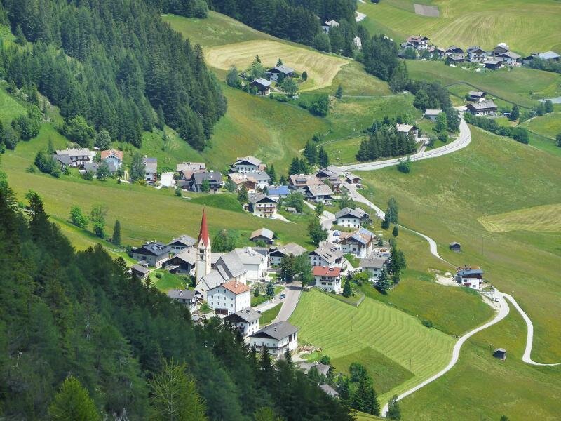
To make the descent slightly less steep, we walk down along the old military road (no. 4A). From here, we have another great view of the Val di Vizze, even though the clouds slightly obscure the visibility. The road ends at the hamlet of Fossa Trues in the Val di Vizze, after which path no. 1 along the valley floor brings us back to Caminata, completing a journey of almost five hours.
Author: AT
Experienced: June 2014
Last updated: 2026
-
- Starting point:
- Caminata di Vizze di Fuori (1,381 m a.s.l.)
-
- Overall time:
- 04:40 h
-
- Total route length:
- 11,8 km
-
- Altitude:
- from 1.381 m to 2.212 m
-
- Altitude difference (uphill | downhill):
- +876 m | -876 m
-
- Signposts:
- no. 4, 4A, 1
-
- Destination:
- Passo della Chiave (2,212 m a.s.l.)
-
- Resting points:
- none along the route
-
- Recommended time of year:
- Jan Feb Mar Apr May Jun Jul Aug Sep Oct Nov Dec
-
- Download GPX track:
- Hike to the Passo della Chiave in the Val di Vizze
-
- More information:
- The overall time shown above refers to the walking time only, not including breaks or stops.
If you want to undertake this hike, we recommend checking the weather and trail conditions in advance and on site before starting this hike!