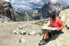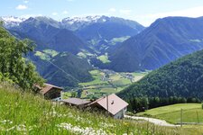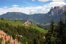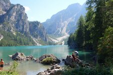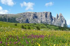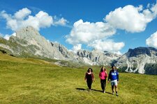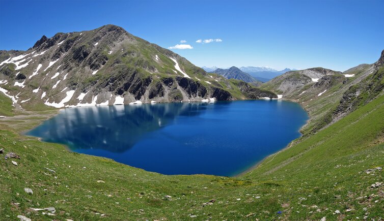
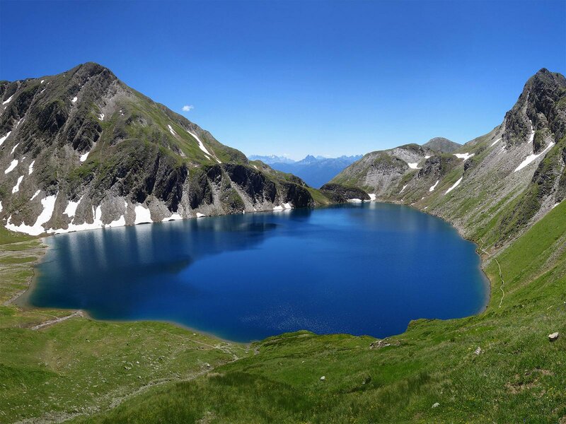
Lake Selvaggio at the foot of the Picco della Croce is a jewel of the Fundres Mountains in the Zillertal Alps and the destination of this moderately difficult hiking tour
Image gallery: Hike via the Malga Simile Mahd to Lake Selvaggio
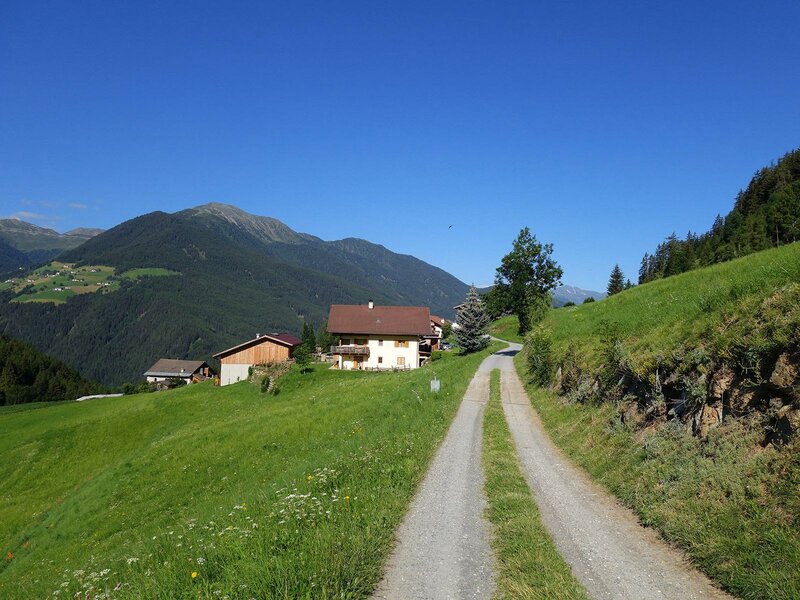
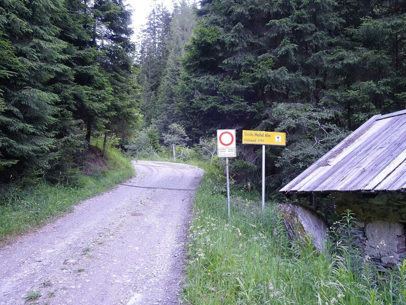
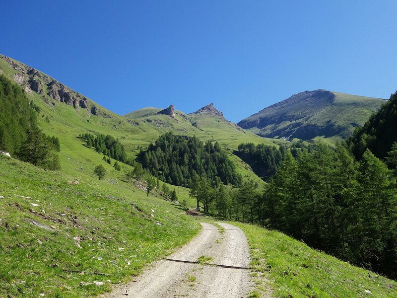
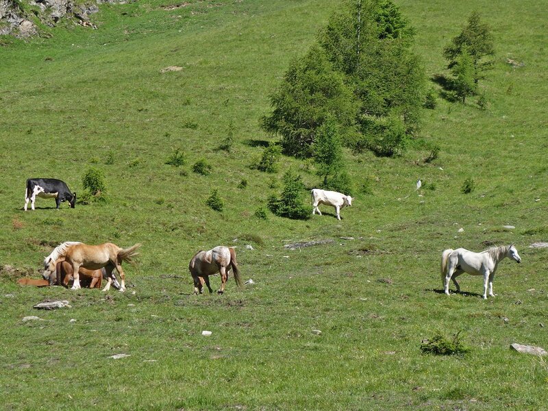
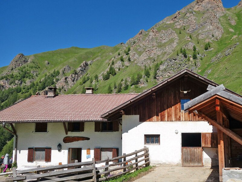
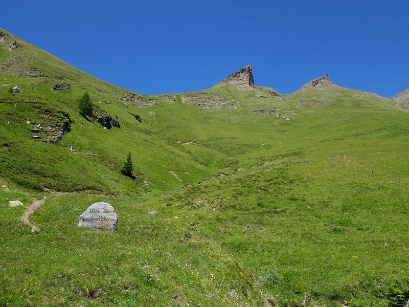
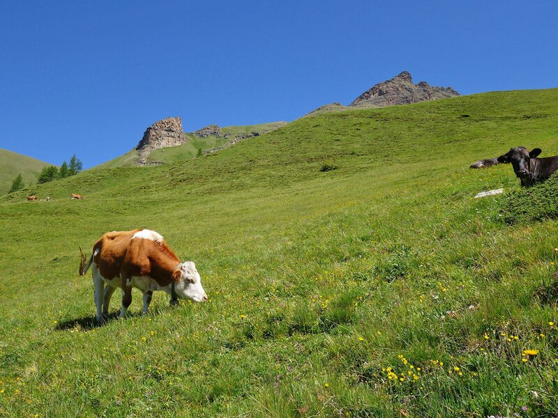
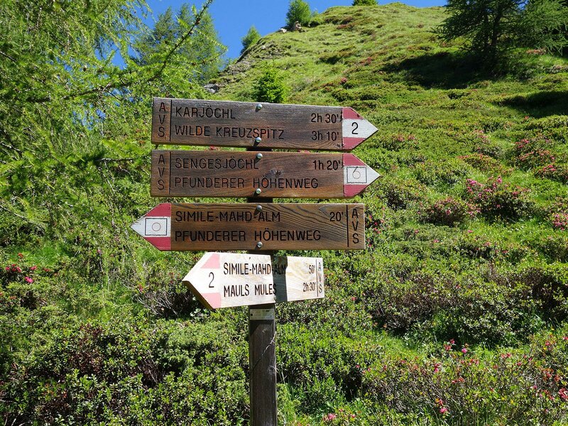
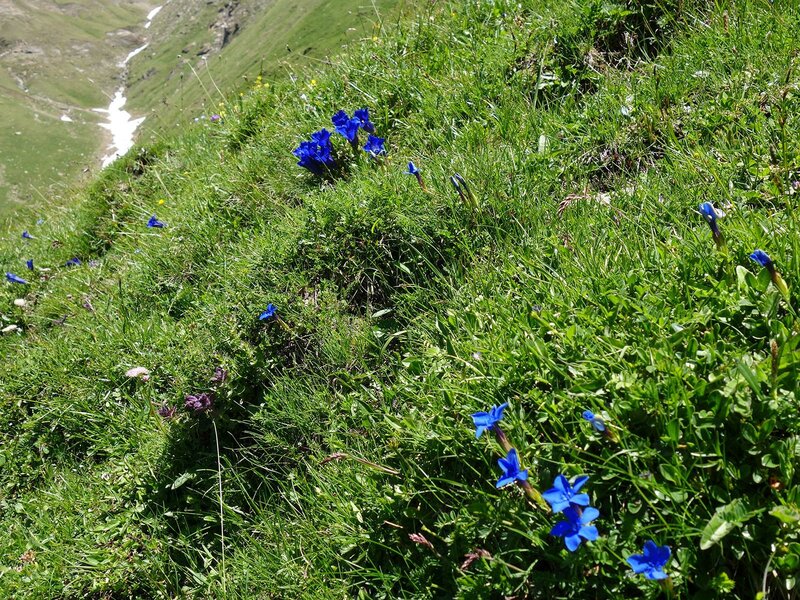
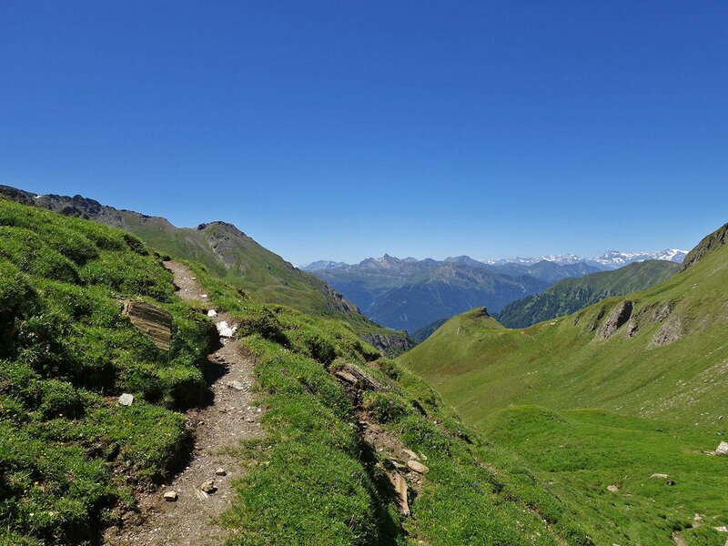
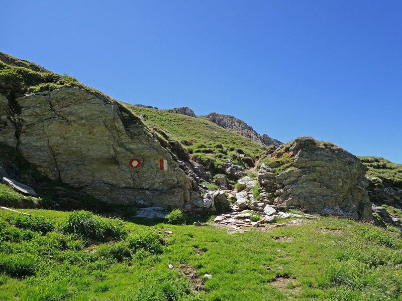
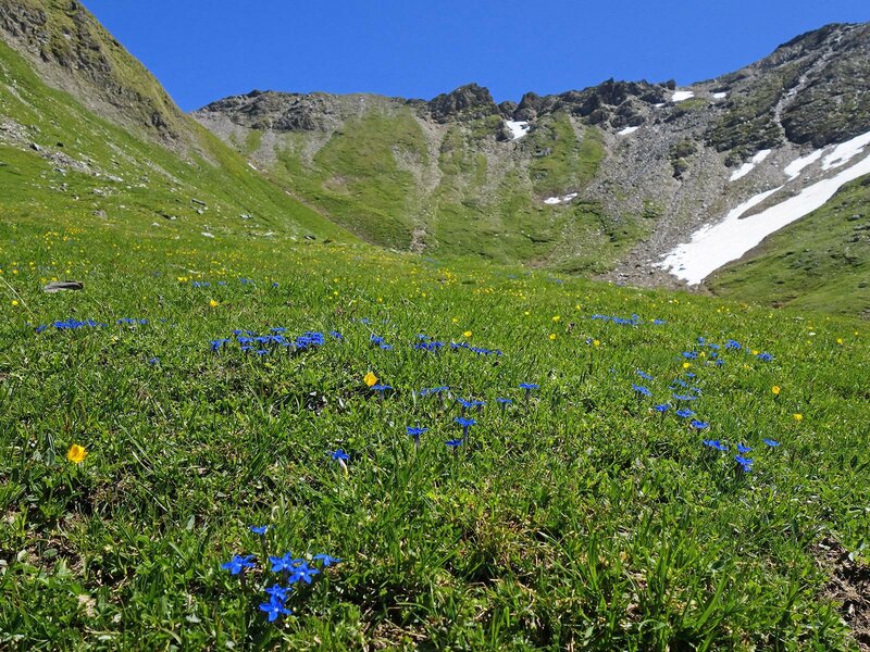
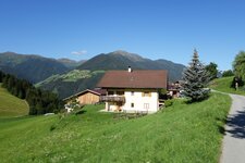
To reach the starting point of this mountain tour, we drive by car from Campo di Trens via Valgenauna first to the hamlet of Flanes di Sotto and from there on the gravel road into the Val di Senghes valley. There, at 1,370 m a.s.l., is the small car park at the former Flanes Saw. We start here, following the forest path (no. 2A) up through the valley. Past the alpine pastures, the forest becomes lighter, the valley a little wider and after a loop, the forest path leads directly to the rustic Malga Simile Mahd mountain hut (2,011 m).
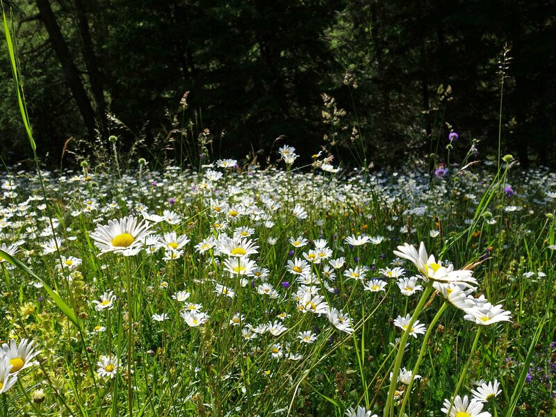
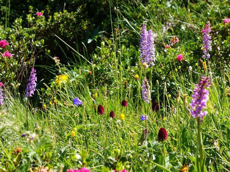
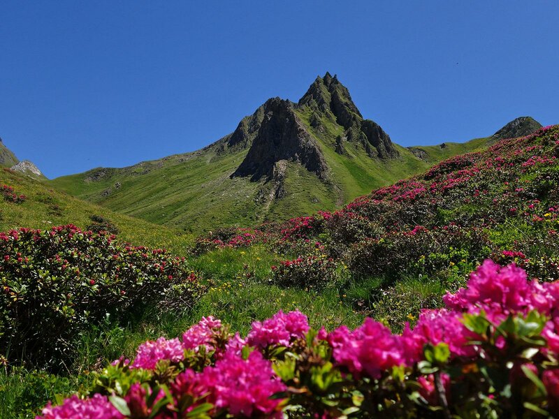
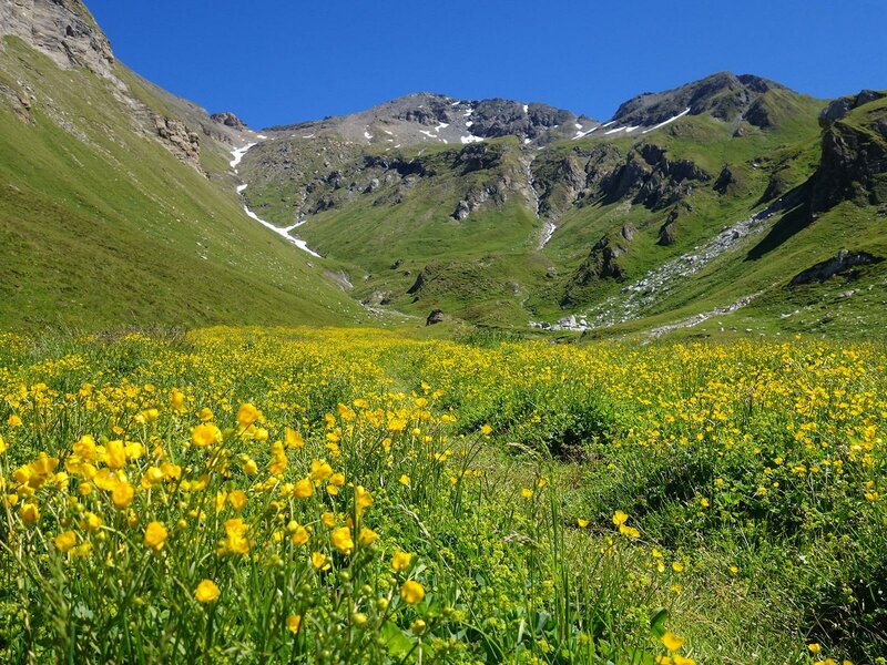
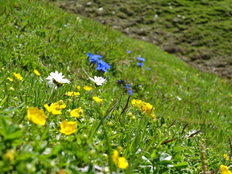
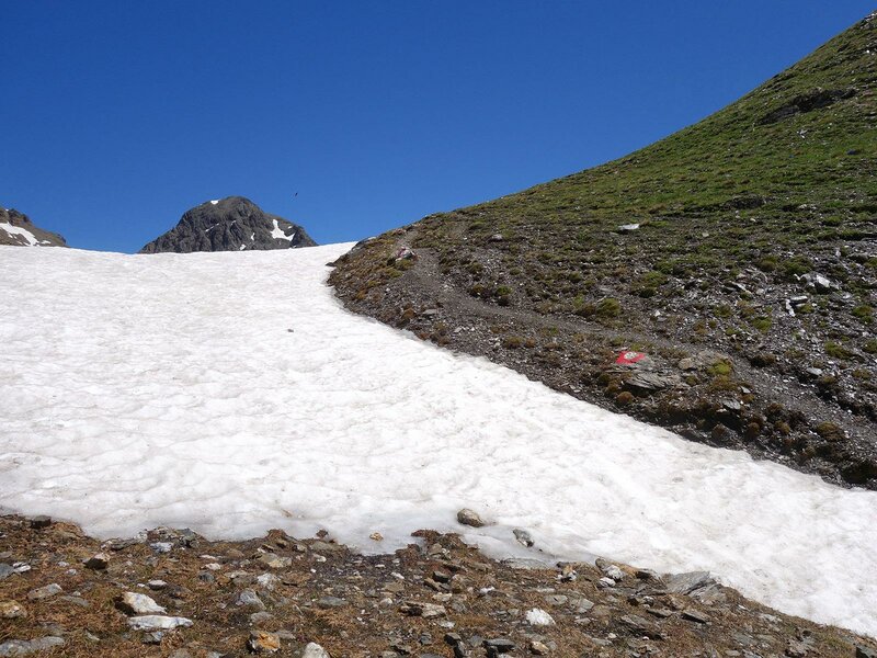
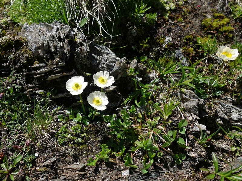
As we are on the way early, as recommended, we don't stop at the hut but follow the signpost no. 2 (Fundres High Route/ Pfunderer Höhenweg) towards Sengesjöchl - Wilder See/Lago Selvaggio. At first, the trail leads slightly uphill, in the manner of a high route, across flowering alpine meadows whose floral diversity is hard to beat. Behind the Purnegg crest, the trail turns towards northeast and leads through a valley of high alpine meadows to the Malga Ochsenalm mountain hut. Past the hut, the ascent to the Sengesjöchl ridge begins. This is situated at more than 2,600 m a.s.l. between the striking Kalkgrubenspitz and the Ebengrubenspitz, a foothill of the Picco della Croce (Wilde Kreuzspitze). Immediately after the crossing, on which there are often still remnants of snow even in July, the deep blue Lake Selvaggio shines before our very eyes.
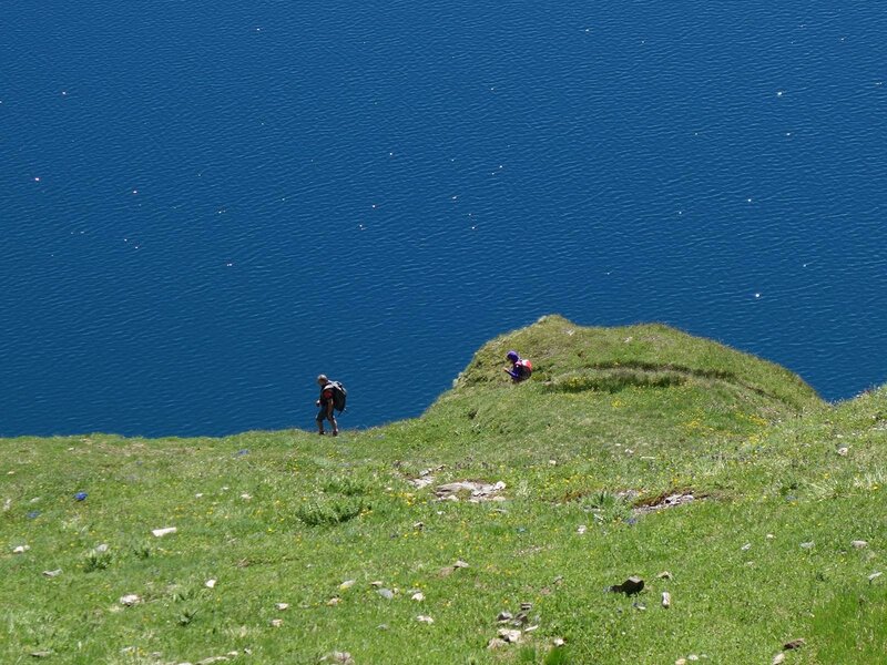
The view on the wonderful, high alpine natural landscape compensates us within seconds for the effort of the ascent, which is 1,236 m. The descent is then easier following the same route, and we finally stop for a break at the Malga Simile Mahd Alm.
Author: AT
-
- Starting point:
- car park "Alte Flaner Säge", Flanes di Sotto / Val di Senghes valley (Campo di Trens)
-
- Overall time:
- 06:00 h
-
- Total route length:
- 16,8 km
-
- Altitude:
- from 1.401 m to 2.635 m
-
- Altitude difference (uphill | downhill):
- +1236 m | -1236 m
-
- Signposts:
- no. 2, Pfunderer Höhenweg/Fundres High Route
-
- Destination:
- Wilder See/Lago Selvaggio
-
- Resting points:
- Simile-Mahd Alm
-
- Recommended time of year:
- Jan Feb Mar Apr May Jun Jul Aug Sep Oct Nov Dec
-
- Download GPX track:
- Hike via the Malga Simile Mahd to Lake Selvaggio
If you want to undertake this hike, we recommend checking the weather and trail conditions in advance and on site before starting this hike!