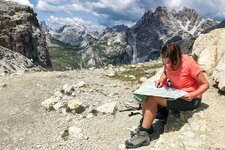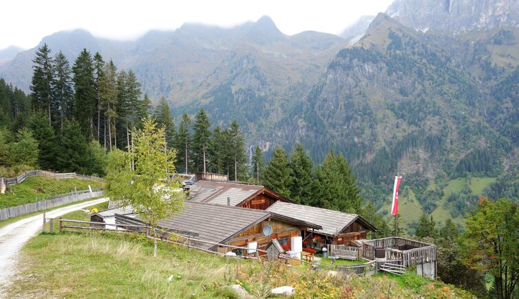
The Malga Allriss, accessible via a leisurely hike, is one of the most popular destinations in the Val di Fleres valley
Image gallery: Circular hike to the Allriss Mountain Hut
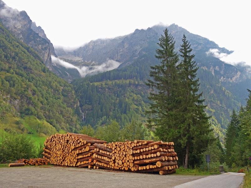
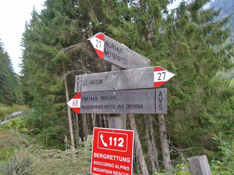
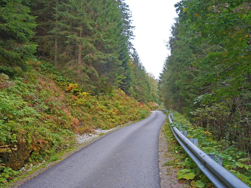
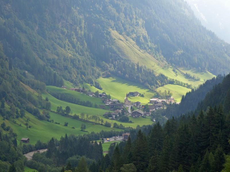
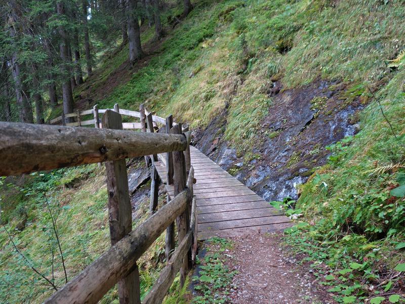
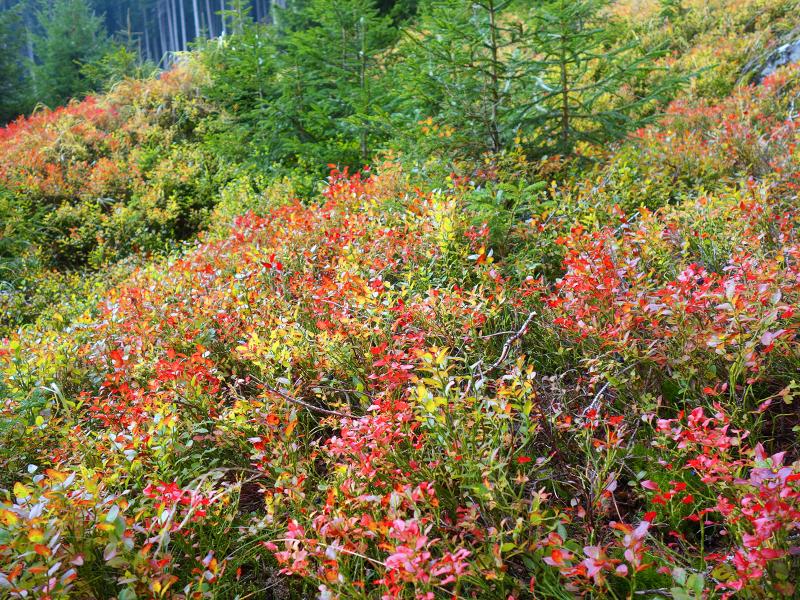
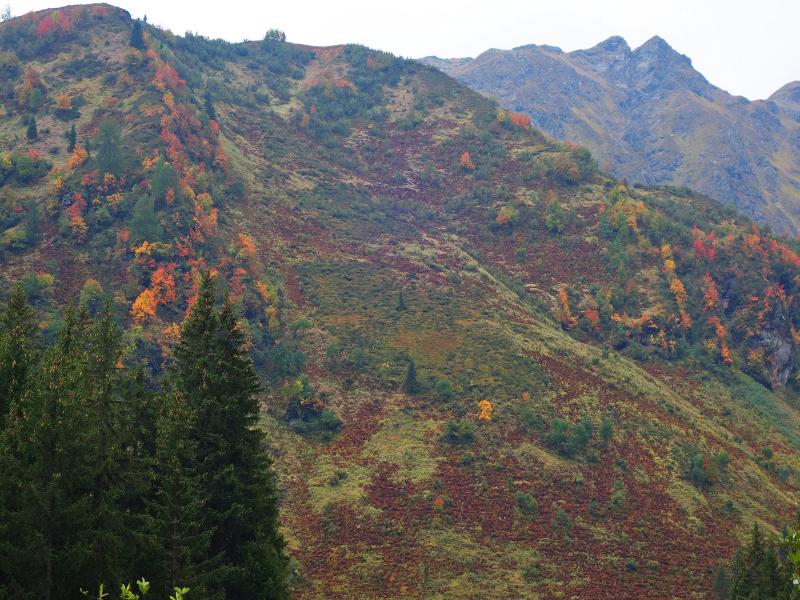
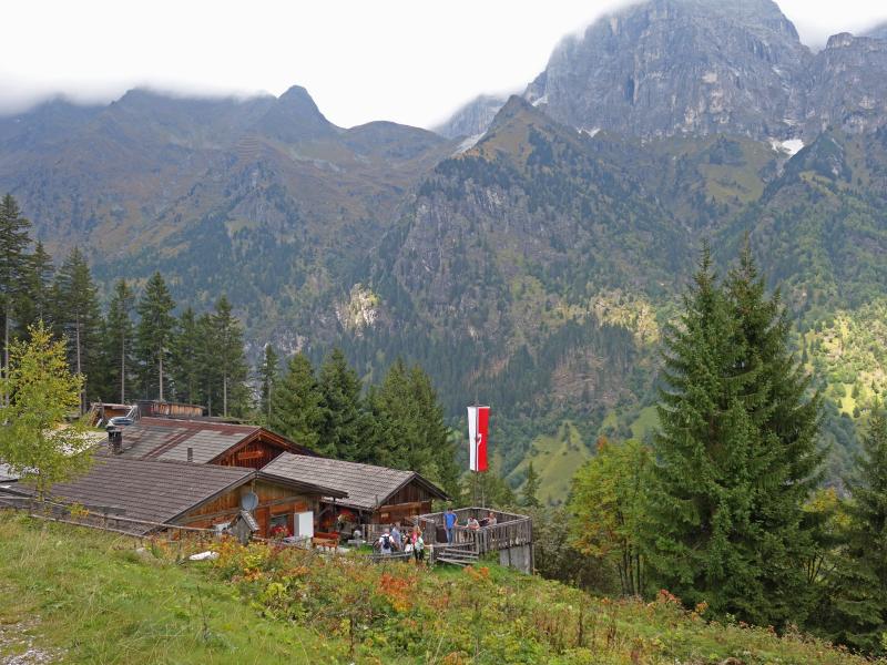
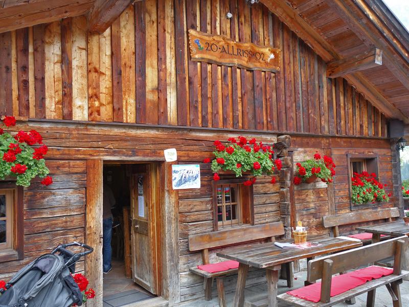

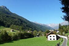
Near Sant'Antonio di Fleres, in a side valley of the Upper Valle Isarco that branches off at Colle Isarco, we look for the Allriss car park. We drive up the mountain road towards Hinterstein, where we find parking near the Allriss toboggan run. Now our circular tour begins. Many families come here in winter. First, we walk into the valley on the asphalt road (no. 6B).
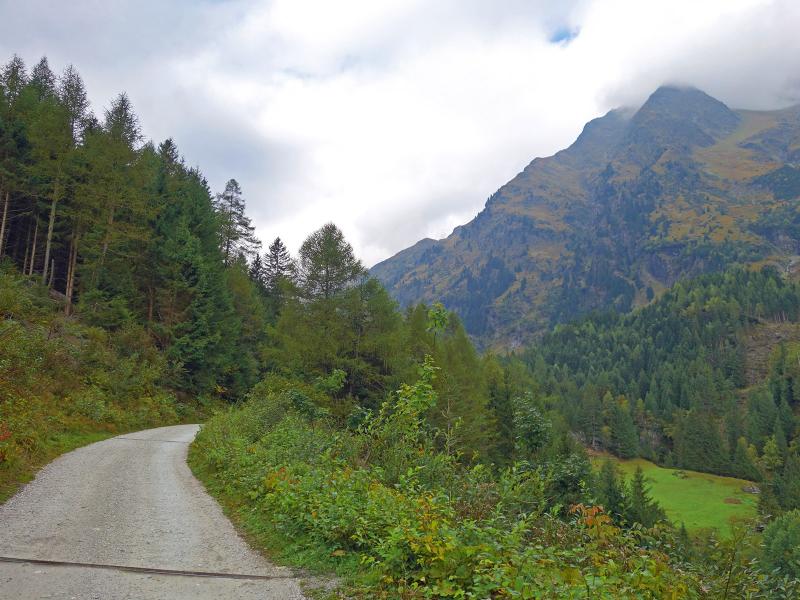
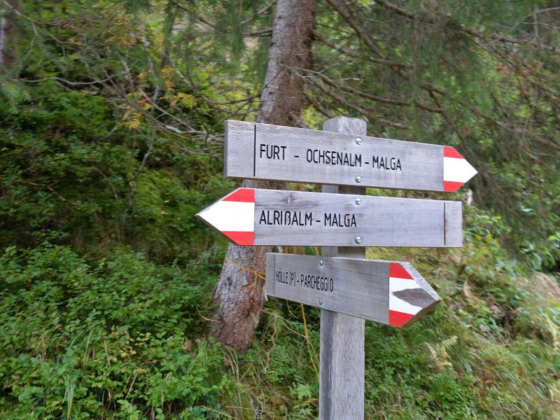
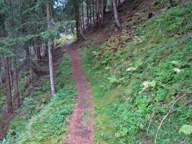
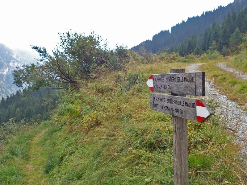
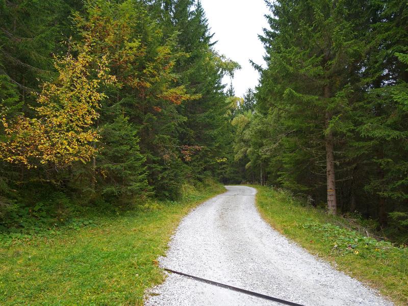
After one kilometre, we reach the bridge over the Rio Ferner. We turn left shortly before the bridge onto the mountain road towards the Furtalm Hut. After about 20 minutes, a path branches off to the left from this gravel road to the Allriss Mountain Hut. We climb through the forest up to 1,660 metres above sea level, where the path meets a forest track: the "Six Mountain Huts Trail".
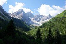
This is the Dolomieu Path, which stretches to the Monte Cavallo, the local mountain of Vipiteno, and passes six mountain huts. This section now takes us directly to the Allriss Mountain Hut at roughly the same altitude. We needed about two hours to reach the hut. It provides a perfect view of the imposing Tribulaun di Fleres, which is unfortunately hidden by fog today.
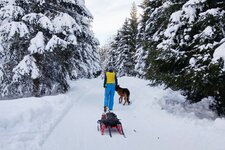
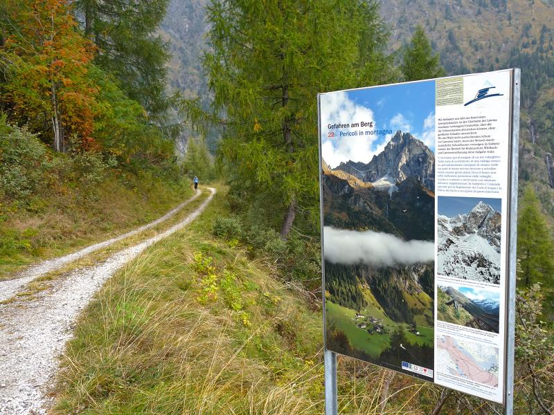
The local food in the mountain inn is excellent. For the descent, we use the direct route via the forest track. This track serves as a toboggan run in winter and leads directly back to the starting point. If you want to go further, the Monte della Neve in the Stubai Alps and the Rifugio Calciati al Tribulaun at Lake Sandes are rewarding alpine tours in the Val di Fleres.
Author: AT
Experienced: September 2019
Last updated: 2026
-
- Starting point:
- Allriss car park near Sant'Antonio di Fleres (1,251 m a.s.l.)
-
- Overall time:
- 03:00 h
-
- Total route length:
- 8,6 km
-
- Altitude:
- from 1.251 m to 1.662 m
-
- Altitude difference (uphill | downhill):
- +419 m | -419 m
-
- Signposts:
- no. 6B, "Allriss", 27
-
- Destination:
- Allriss Mountain Hut (1,534 m a.s.l.)
-
- Resting points:
- Allriss Mountain Hut (May to October)
-
- Recommended time of year:
- Jan Feb Mar Apr May Jun Jul Aug Sep Oct Nov Dec
-
- Download GPX track:
- Circular hike to the Allriss Mountain Hut
-
- More information:
- The overall time shown above refers to the walking time only, not including breaks or stops. The highest point of the hike - at 1,662 metres a.s.l. - is located above the Allriss Hut.
If you want to undertake this hike, we recommend checking the weather and trail conditions in advance and on site before starting this hike!