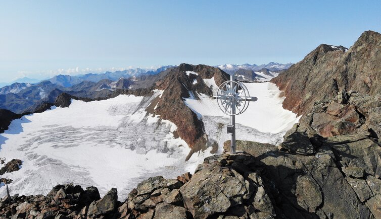
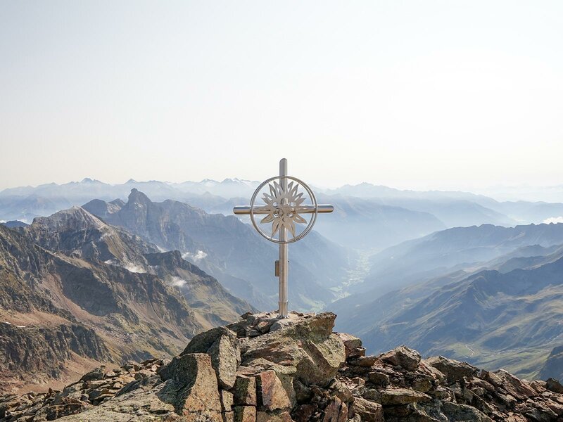
The Monte della Neve (3,174 m a.s.l.) is located in the Stubai Alps and offers a fantastic 360° panoramic view
Image gallery: Mountain tour to the Monte della Neve in Fleres
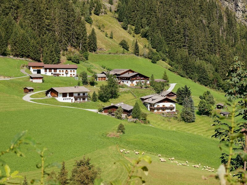
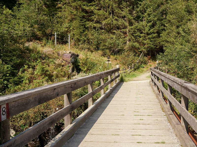
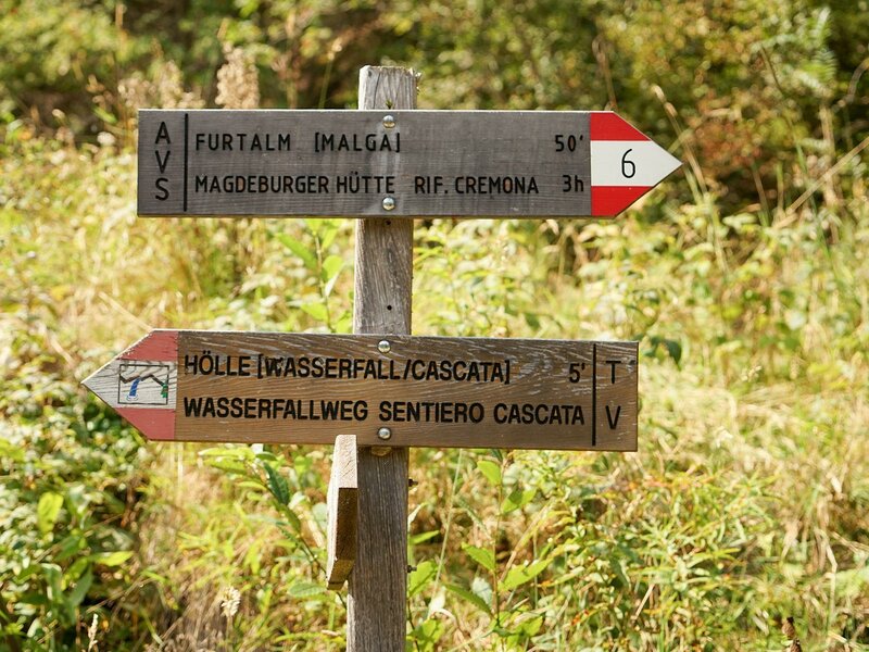
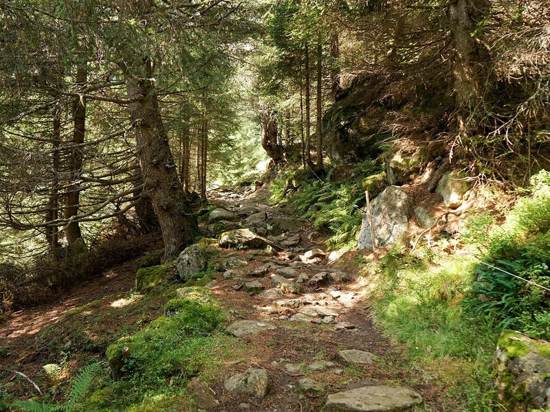
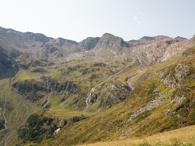
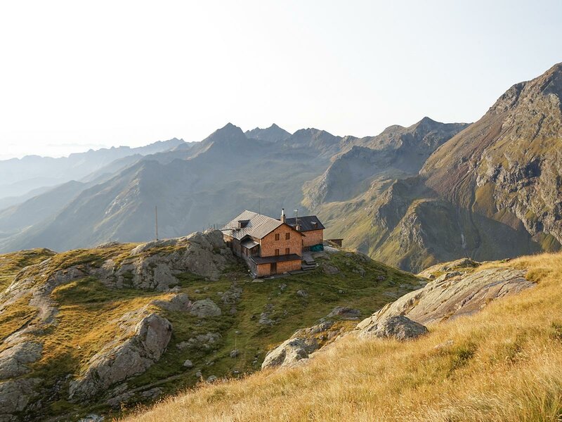
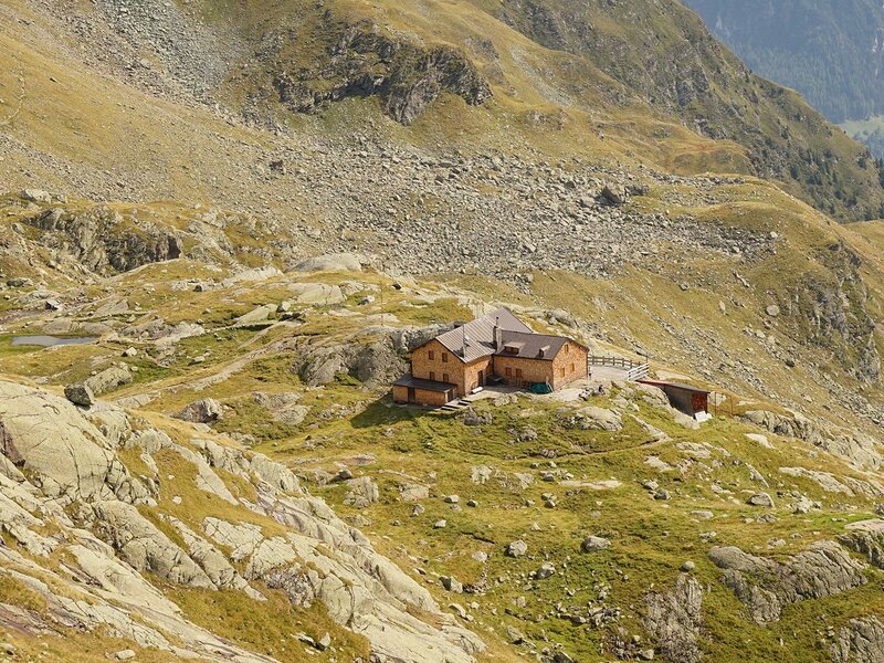
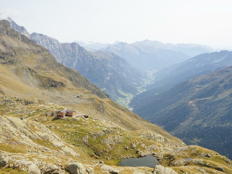
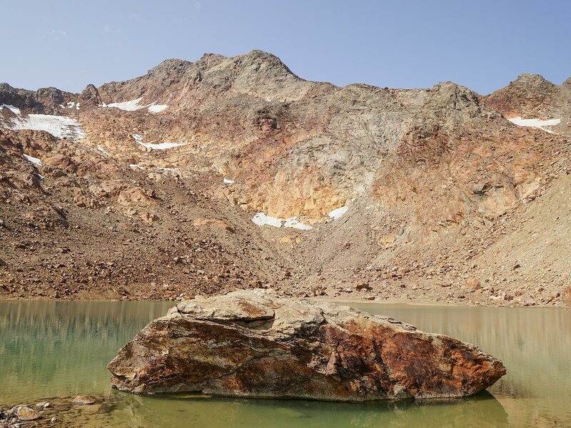
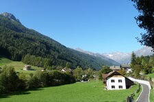
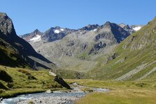
The Hölle car park in the back Val di Fleres valley, shortly after the hamlet of Sasso, is the starting point for our difficult mountain tour to the Monte della Neve (Schneespitze, 3,174 m a.s.l.). At the start, we cross a wooden bridge that leads over the Rio Ferner stream. We follow trail no. 6 into the valley, which leads to the Cremona alla Stua Mountain Hut (Magdeburger Hütte) in 3 hours' walking time. Initially, the trail runs through the forest and past the Buoi Mountain Hut (Ochsenalm). From the hut, the trail becomes steeper and winds its way in several hairpin bends again and again past the Rio Hochalm stream. We reach the front of the Lago della Stua lake (Stubensee), which is situated a little below the Cremona alla Stua Mountain Hut (2,423 m a.s.l.).
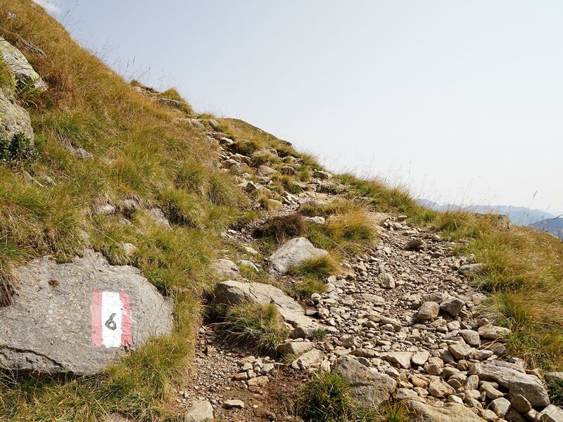
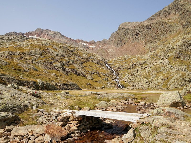
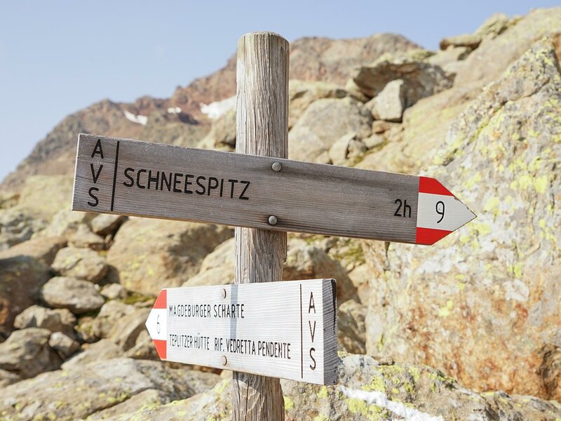
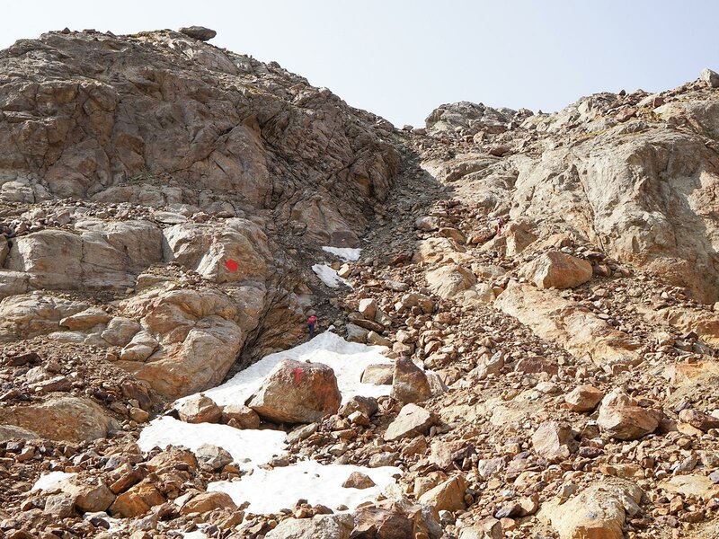
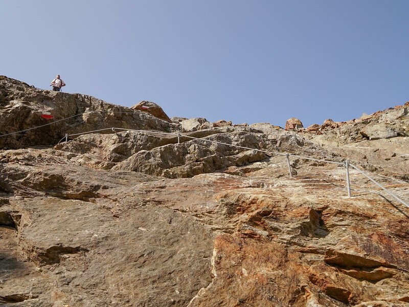
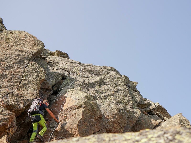
From the hut (2-2.5 hours to the summit), we briefly follow trail no. 6, but then we turn right to trail no. 9, which leads us along a stony path to the rear Lago della Stua lake. From now on, the trail becomes steep and repeatedly exposed, but tricky spots are all secured with wire ropes.
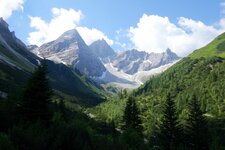
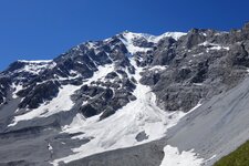
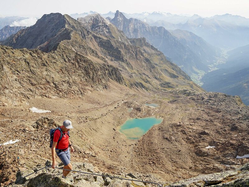
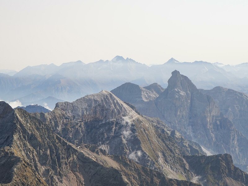
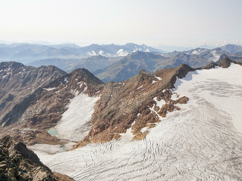
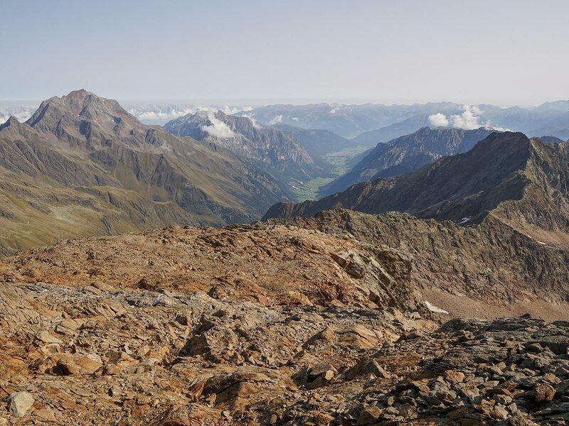
The route leads over the well-marked rocky terrain across the summit flattening and up the last steep metres to the beautiful summit cross of the Monte della Neve. Arrived at the summit, we are rewarded with a breathtaking panoramic view. It extends over the Montarso Glacier (Feuersteinferner) all the way to the Dolomites. We can also see the Gschnitz Valley and the Val di Fleres valley from above, and Mt. Tribulaun di Fleres proudly lies in front of us. The way back is via the same route. Surefootedness and a head for heights are prerequisites for this difficult tour!
Author: PG
-
- Starting point:
- Hölle parking space, halmet of Sasso in the rear Val di Fleres valley
-
- Overall time:
- 08:00 h
-
- Total route length:
- 22,3 km
-
- Altitude:
- from 1.372 m to 3.174 m
-
- Altitude difference (uphill | downhill):
- +1802 m | -1802 m
-
- Signposts:
- no. 6, 9
-
- Destination:
- Monte della Neve, Fleres
-
- Resting points:
- Cremona alla Stua Mountain Hut (+39 338 242 8278, rifugiocremona@gmail.com, from early June), Buoi Mountain Hut
-
- Recommended time of year:
- Jan Feb Mar Apr May Jun Jul Aug Sep Oct Nov Dec
-
- Download GPX track:
- Mountain tour to the Monte della Neve in Fleres
We highly recommend checking the weather and trail conditions in advance and on site before starting this tour.