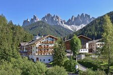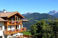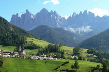
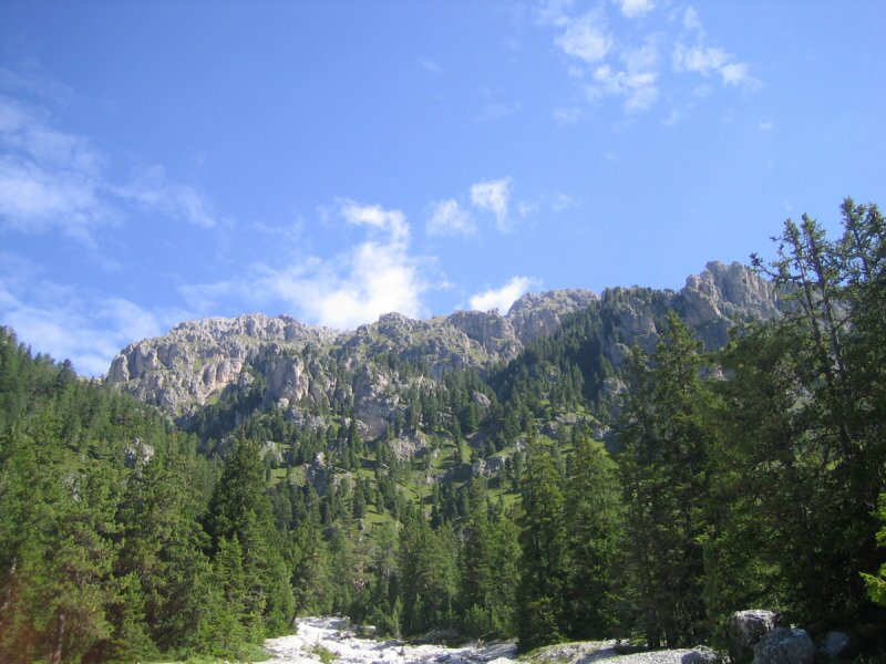
Starting from the Malga Zannes, or Zanser Alm, in Funes, we hike into the impressive Putia Group in the Dolomites
Image gallery: Hike to the Col di Poma in the Funes Valley
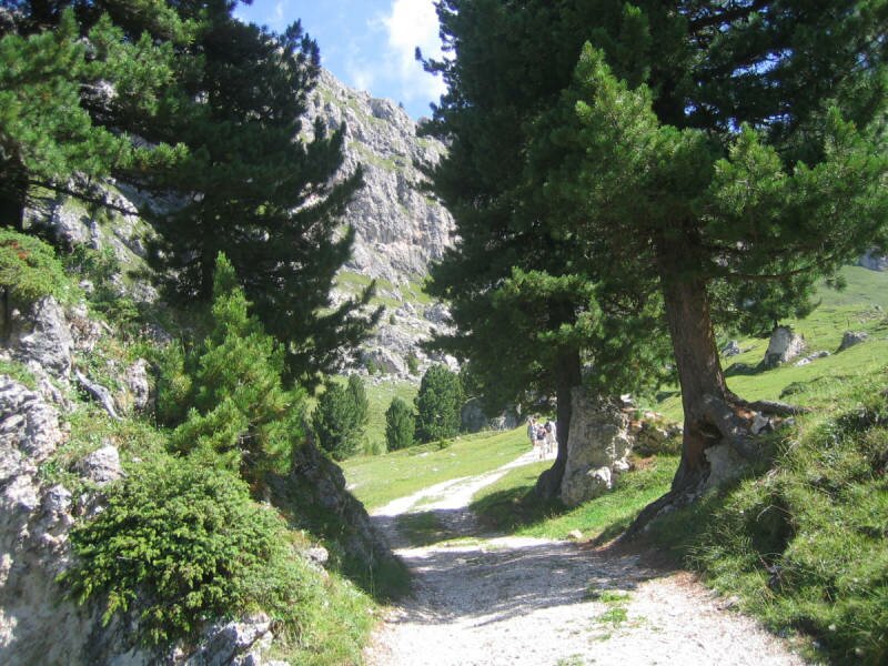
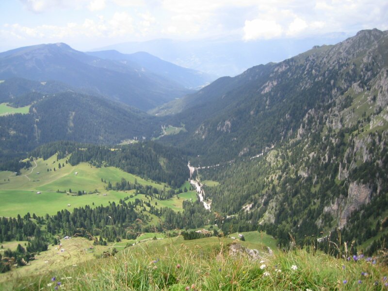
In the innermost part of the Val di Funes, a road near Santa Maddalena leads uphill to the left, reaching the Malga Zannes hikers' car park. Our hike begins here on path no. 6 towards the Ciancenon Hut until we reach the Zannes Nature Experience Trail. We turn left there.
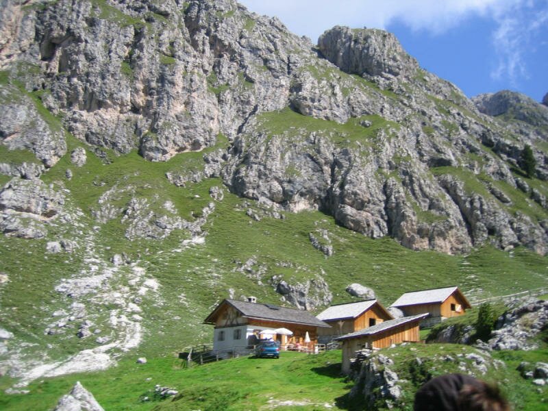
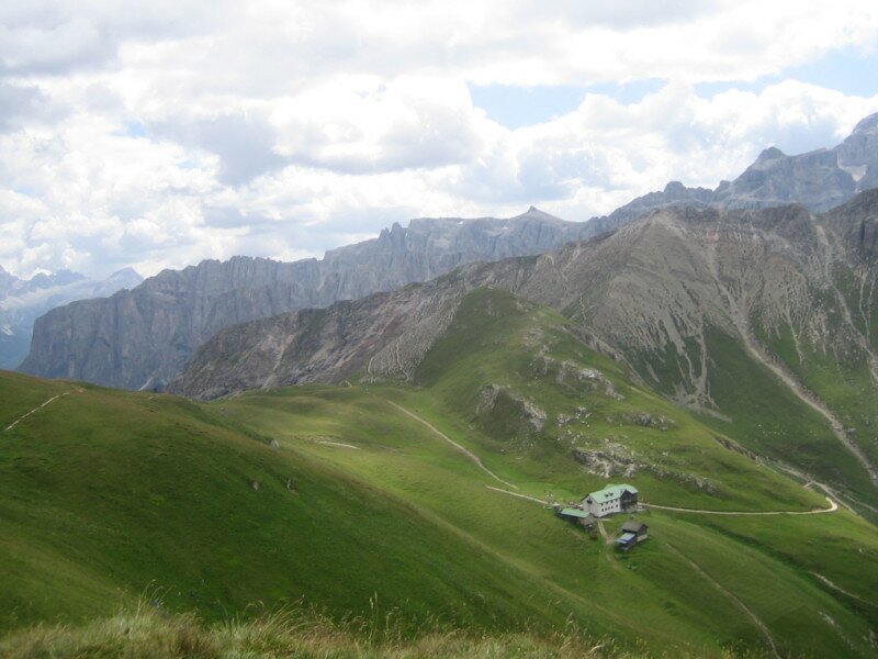
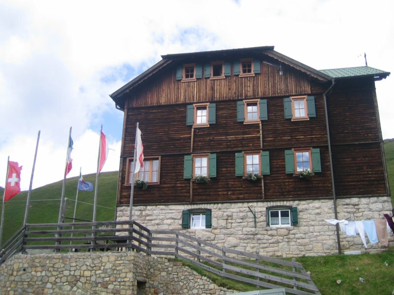
At the first wayside cross, we continue straight ahead and then turn right onto path no. 25, leading to the Kirchwiesl meadow at an altitude of 1,836 metres. While temperatures rise down in the valley, a pleasant summer coolness prevails up here. Path no. 32 takes us further to the Caserill Hut - the first place to stop for refreshments along the way - and to the Wörndlejoch pass.
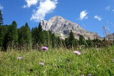
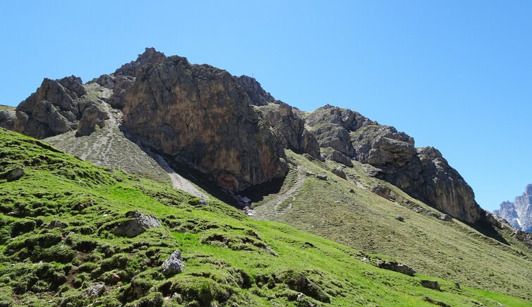
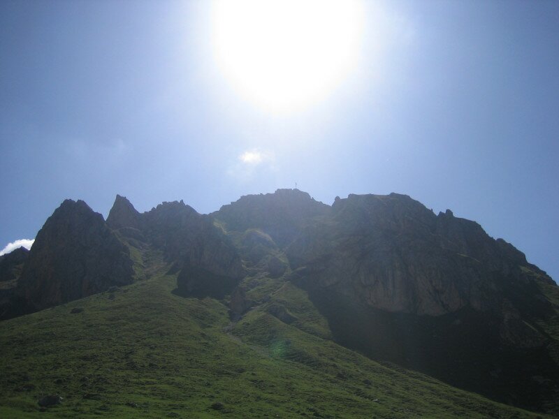
This section is steep. Afterwards, we hike cross-country to the summit cross of Mt. Col di Poma (Zendleser Kofel) in the imposing Putia Group. Anyone who is not entirely confident on this terrain should ask the host at the Caserill Hut to explain the route again, just as we did! From the summit, we can see the surrounding mountains, and a distant whistle indicates the presence of marmots.
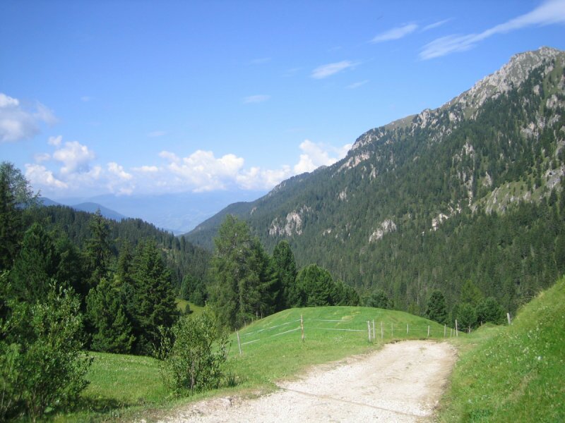
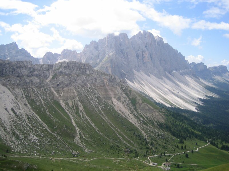
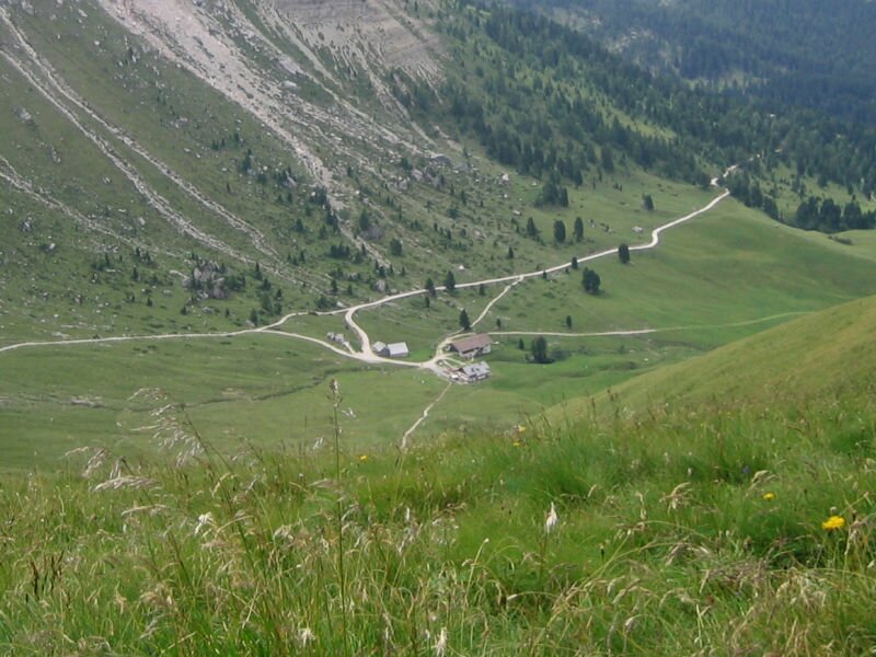
After a break to take photos, we descend to the Passo Poma and follow path no. 7.35 to the Genova Hut in the Puez-Odle Nature Park. From there, we take path no. 33 to the Gampen Hut- a relatively short stretch with a 400-metre difference in altitude - and continue on path no. 35 towards the Ciancenon Hut. At a certain point along the way, path no. 6 branches off to the right.
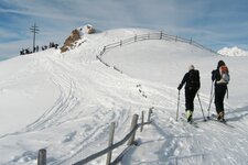
It takes us directly back to the Malga Zannes car park after a five-hour hike. In winter, Mt. Col di Poma is also a popular destination for ski tourers.
Author: MC
Experienced: August 2009
Last updated: 2026
-
- Starting point:
- hikers' car park at the Malga Zannes in Funes (1,676 m a.s.l.)
-
- Overall time:
- 05:00 h
-
- Total route length:
- 10,6 km
-
- Altitude:
- from 1.676 m to 2.422 m
-
- Altitude difference (uphill | downhill):
- +745 m | -745 m
-
- Signposts:
- no. 6, 25, 32, 33, 7.35, 35
-
- Destination:
- summit of Mt. Col di Poma (2,422 m a.s.l.)
-
- Resting points:
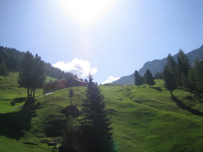
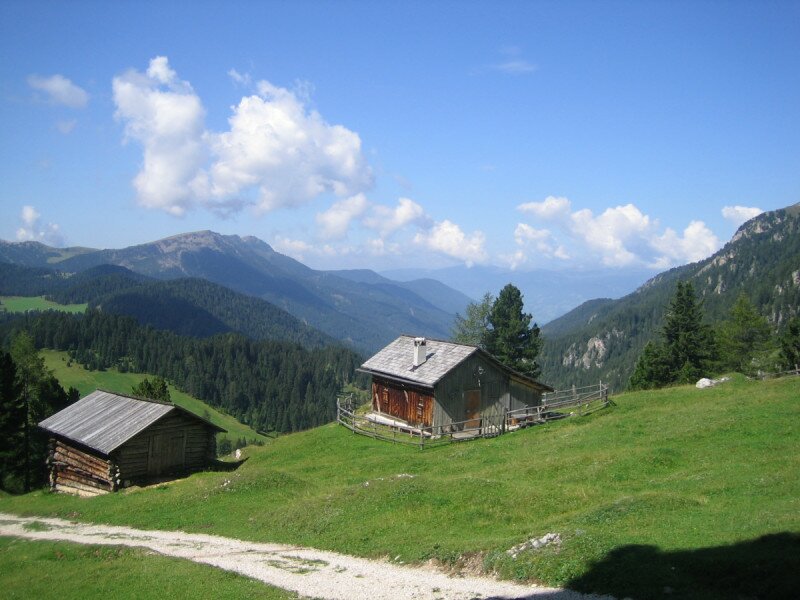
- Zanser Schwaige Hut (May to October), Caserill Hut, Genova Hut (both from June to October), Gampen Hut (May to September)
-
- Recommended time of year:
- Jan Feb Mar Apr May Jun Jul Aug Sep Oct Nov Dec
-
- Download GPX track:
- Hike to the Col di Poma in the Funes Valley
-
- More information:
- The overall time shown above refers to the walking time only, not including breaks or stops.
If you want to undertake this hike, we recommend checking the weather and trail conditions in advance and on site before starting this hike!