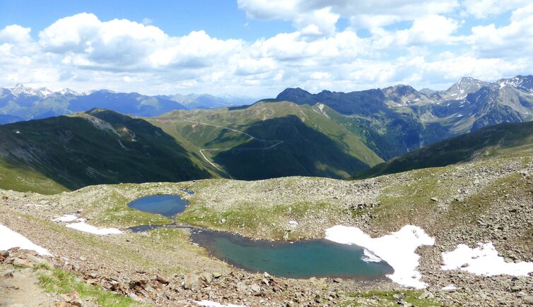
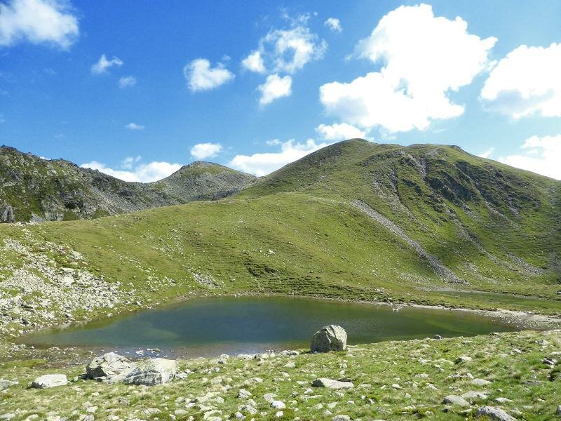
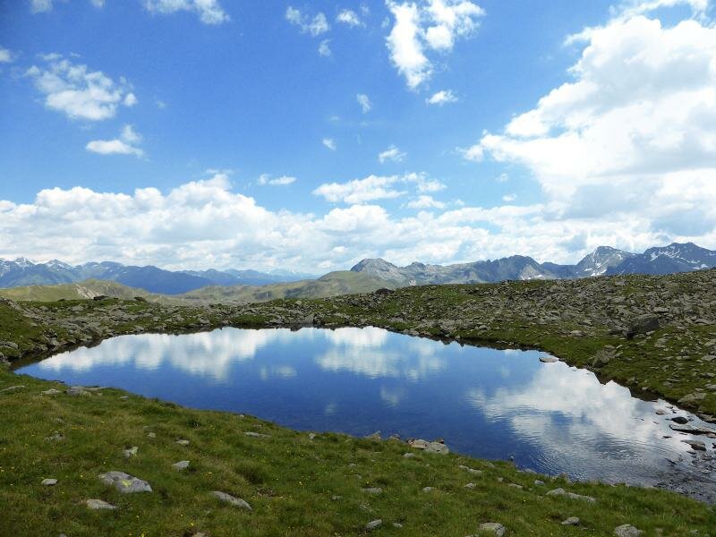
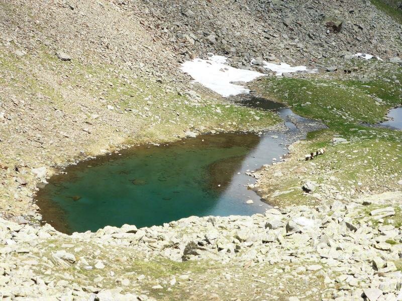
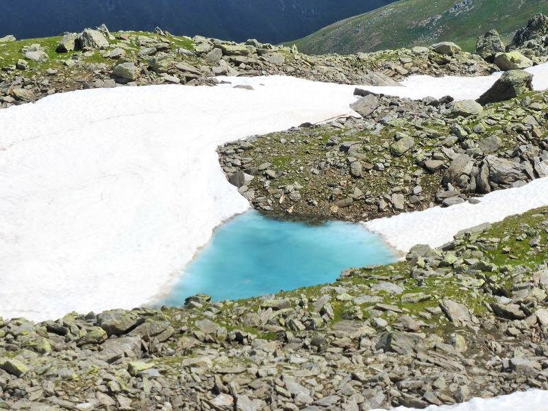
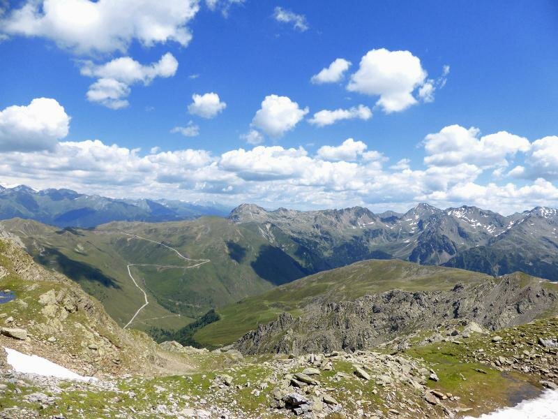
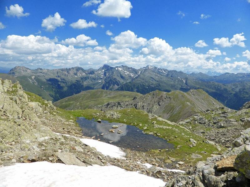
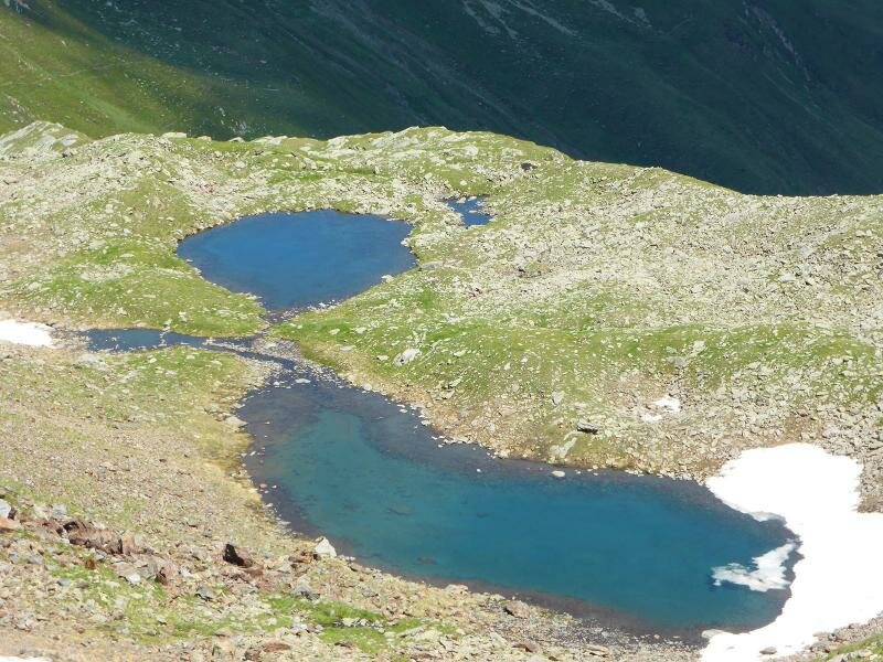
Beneath the highest peak of the Sarentino Alps, these two small mountain lakes lie in a naturally sculpted landscape
Image gallery: Hike to the Corno Bianco Lakes
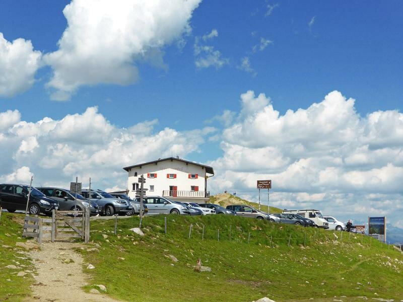
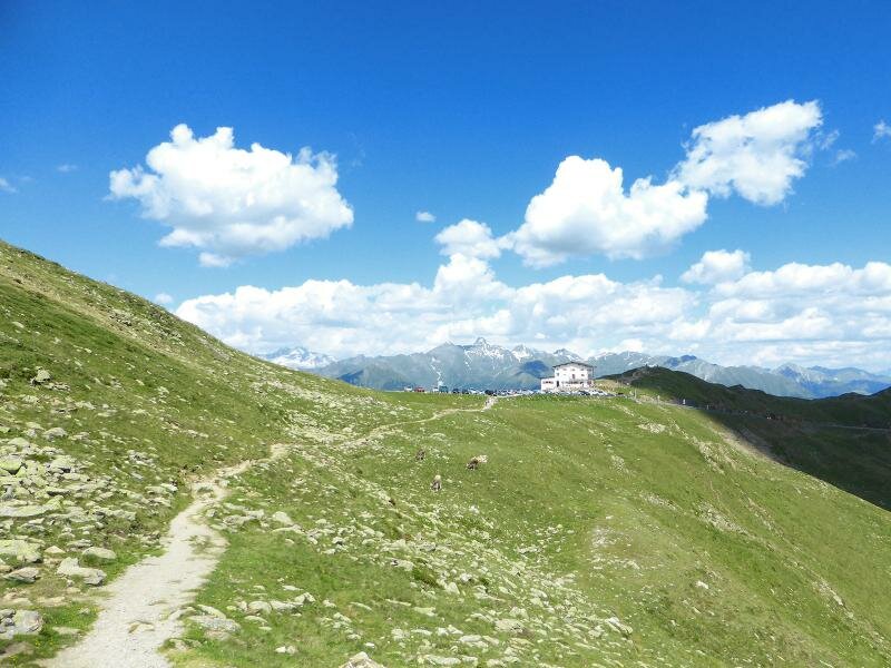
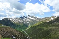
We begin this July hike to the Corno Bianco, or Corno Bianco di Pennes (Penser Weisshorn), at a higher altitude: the Passo di Pénnes. From the car park at the 2,200-metre pass in the middle of the Sarentino Alps, reachable via Pennes di Dentro, we follow path no. 12A towards the west.
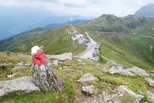
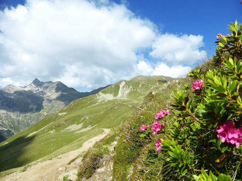
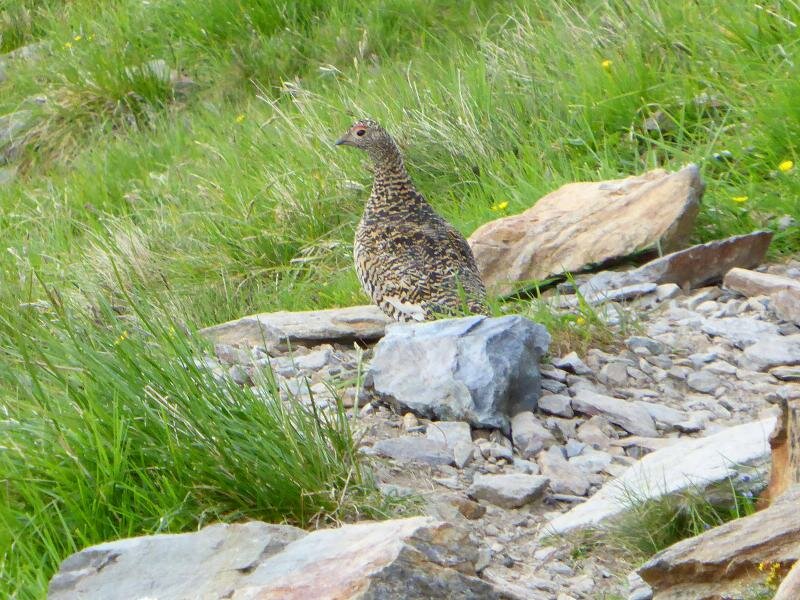
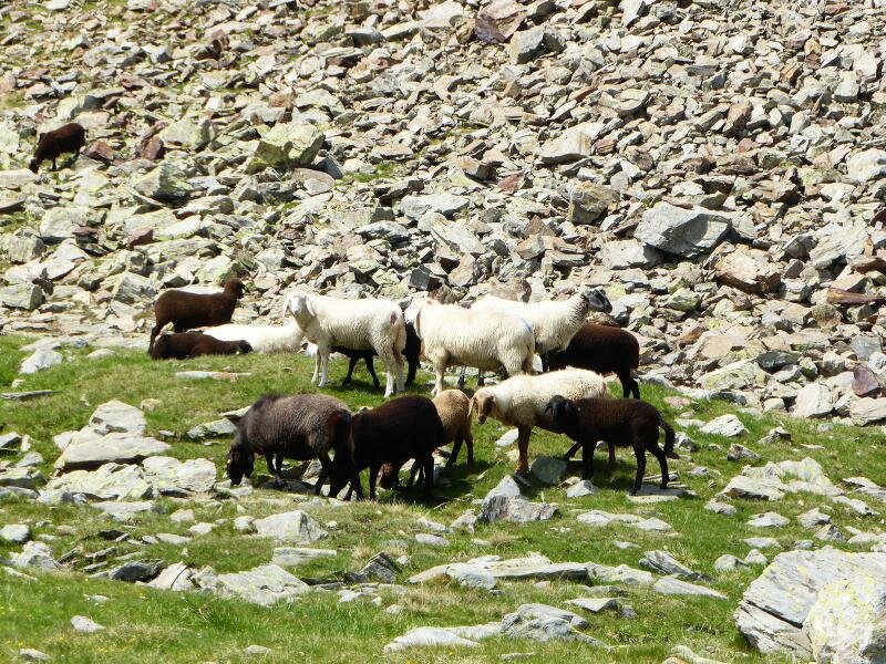
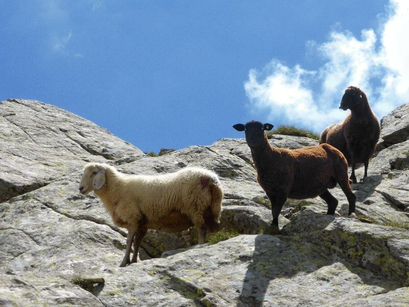
The trail leads beneath the Punta di Campo to the small Jochsee lake, and then continues upwards through partly rocky terrain. After an hour and a half, we reach the Corno Bianco Lakes, which spread out in a hollow at almost 2,400 metres above sea level. In this somewhat cool summer, there are remnants of snow here, while the green shoots have attracted a flock of sheep.
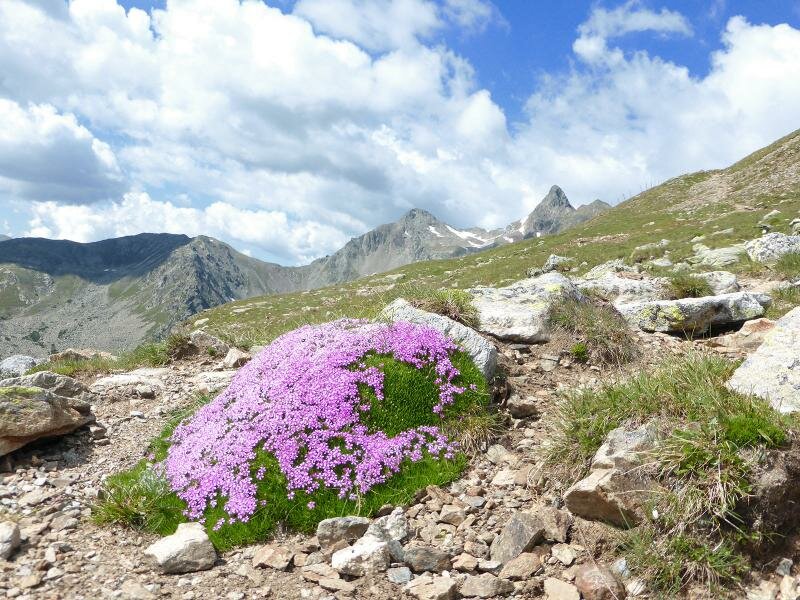
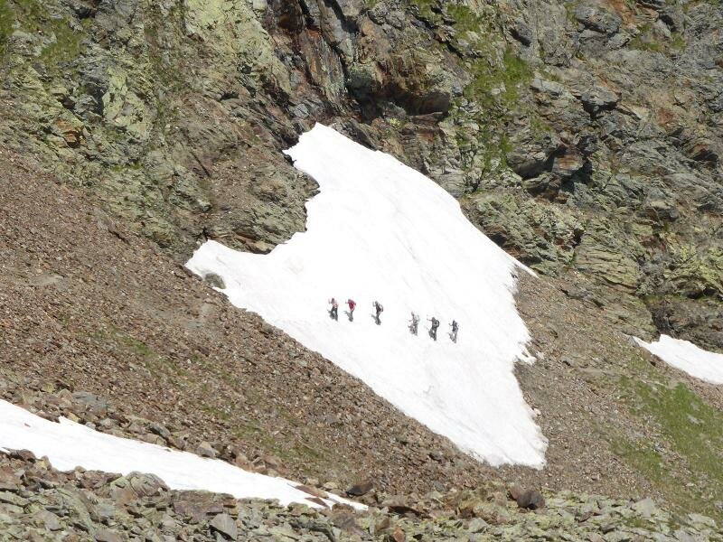
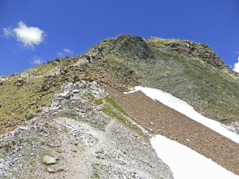
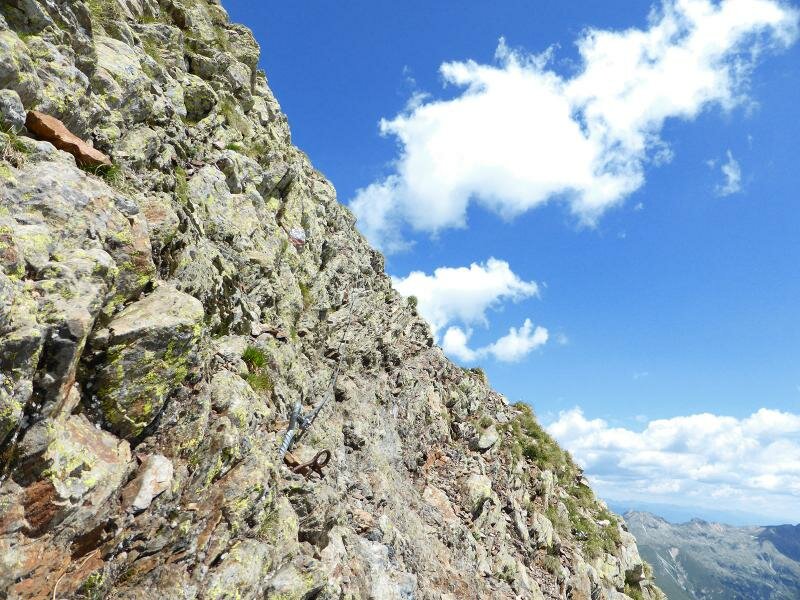
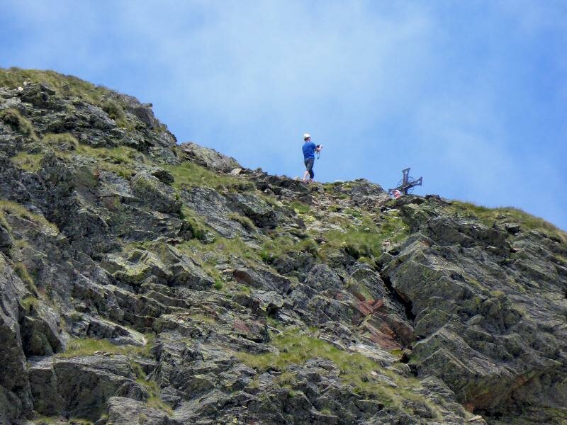
The path now becomes increasingly steep and brings us directly below the 2,700-metre-high Corno Bianco, the highest peak of the Sarentino Alps. The summit is not far away, but the final 20-minute ascent is only recommended for experienced hikers.
The secured trail leads along a very rugged, steep face. We decide against it and descend along the same route until we reach the pass again after three and a half hours.
Author: AT
Experienced: July 2014
Last updated: 2026
-
- Starting point:
- Passo di Pènnes, accessible via the Val Sarentino or the Upper Valle Isarco (2,196 m a.s.l.)
-
- Overall time:
- 03:30 h
-
- Total route length:
- 10,3 km
-
- Altitude:
- from 2.196 m to 2.611 m
-
- Altitude difference (uphill | downhill):
- +610 m | -610 m
-
- Signposts:
- no. 12A
-
- Destination:
- Gerölljoch pass beneath Mt. Corno Bianco (2,611 m a.s.l.)
-
- Resting points:
- Alpenrosenhof mountain inn (May to October)
-
- Recommended time of year:
- Jan Feb Mar Apr May Jun Jul Aug Sep Oct Nov Dec
-
- Download GPX track:
- Hike to the Corno Bianco Lakes
-
- More information:
- The overall time shown above refers to the walking time only, not including breaks or stops.
If you want to undertake this hike, we recommend checking the weather and trail conditions in advance and on site before starting this hike!