A stroll across the sunny Naz-Sciaves plateau visiting Rasa, Naz, and Fiumes, as well as the Raier Moos biotope
Image gallery: Village tour on the Naz-Sciaves high plateau
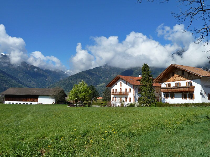


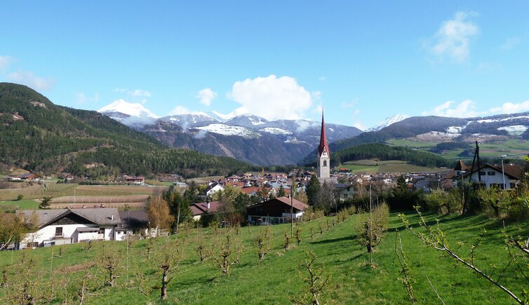
Vast forests and fruit orchards shape the low mountain terrace near Bressanone, dotted with charming villages. Especially in spring and autumn, this lovely landscape is ideal for gentle walks. We begin our tour of the villages in the municipality of Naz-Sciaves in Sciaves.
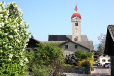
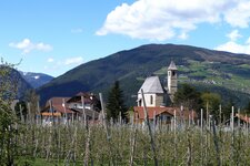
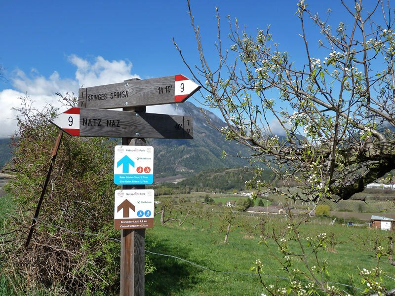
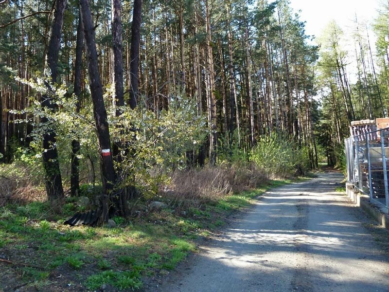
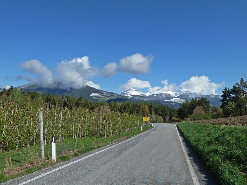
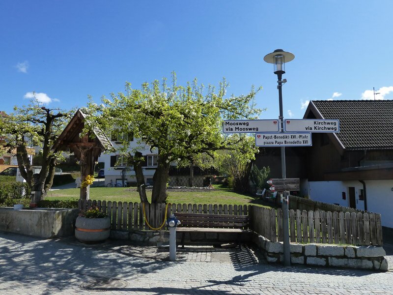
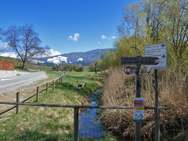
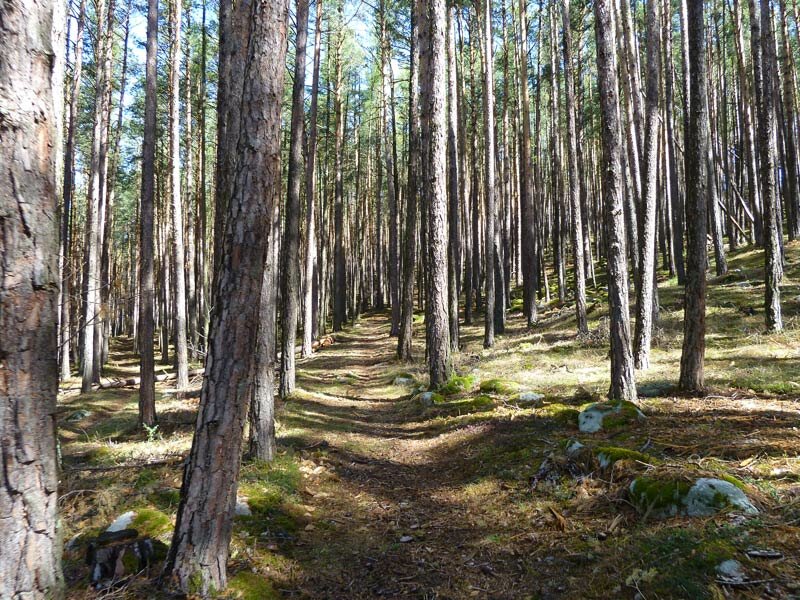
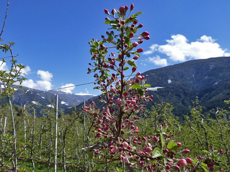
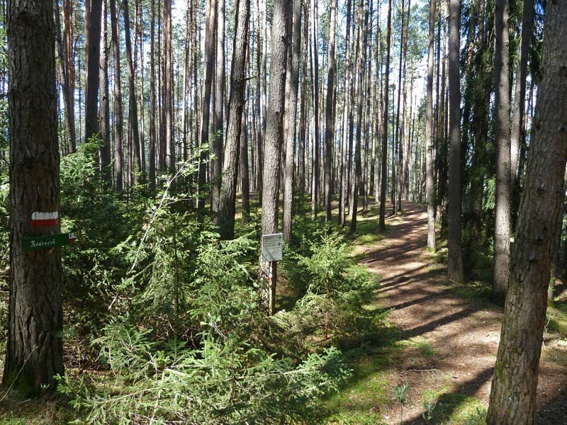
South of the village, we follow trail no. 8, which winds through the forest. At the small commercial zone, we cross the road and continue towards Rasa. Walking along the edge of the orchards - which are just beginning to blossom in April and where South Tyrolean apples ripen by autumn - we enter the village and pass the St. Giles Church, the attached Holy Sepulchre Chapel, and Piazza Papa Benedetto, the Pope Benedict Square. Our tour then leads us to the Raier Moos.
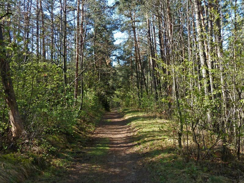
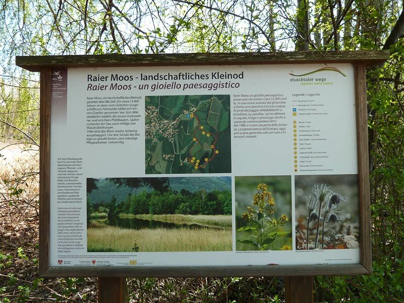
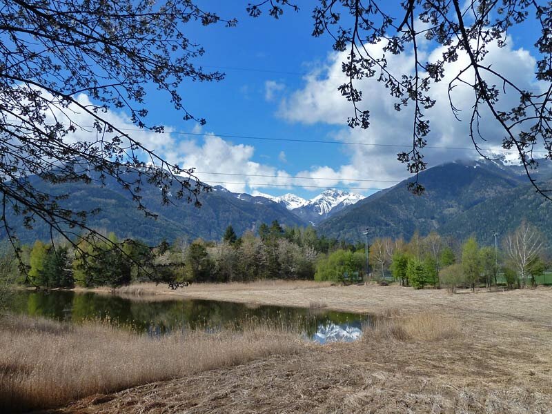
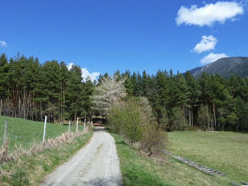
This is an extensive biotope with a pond and reed beds at the edge of the forest, serving as a protected habitat for numerous birds and other animal and plant species, as well as a popular local recreation area. We walk slightly uphill through the woods and then along the road to Naz.
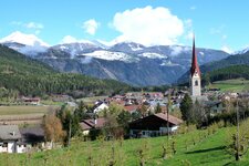
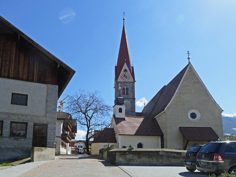
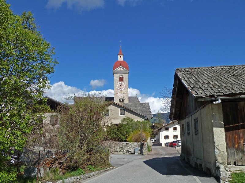
After the village centre, we turn right onto a forest path surrounded by orchards, woods, and meadows. This trail eventually brings us to Fiumes with its prominent hilltop church, visible from afar. The final stretch back to Sciaves follows a descending woodland path.
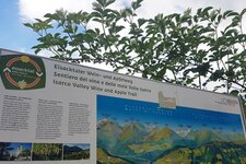
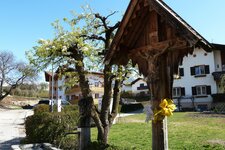
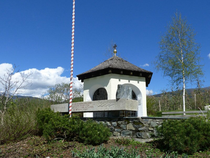
We reach the Viummer Kreuz, or Cross of Fiumes - a memorial chapel here recalls that this spot was once a battlefield. Today, you can enjoy an unobstructed view towards Maranza and Rodengo. After three hours, we arrive back in Sciaves. By the way, you can also walk from Naz-Sciaves to the bishop's town of Bressanone: The Valle Isarco Wine and Apple Trail will take you there.
Author: AT
Experienced: April 2012
Last updated: 2026
-
- Starting point:
- Sciaves (alternatively, any other point along the circular route, 771 m a.s.l.)
-
- Overall time:
- 03:00 h
-
- Total route length:
- 10,6 km
-
- Altitude:
- from 771 m to 920 m
-
- Altitude difference (uphill | downhill):
- +205 m | -205 m
-
- Signposts:
- no. 8, 4, "Raier Moos", 1b, 1, 4b, 3, "Dörferrunde"
-
- Recommended time of year:
- Jan Feb Mar Apr May Jun Jul Aug Sep Oct Nov Dec
-
- Download GPX track:
- Village tour on the Naz-Sciaves high plateau
-
- More information:
- The overall time shown above refers to the walking time only, not including breaks or stops.
If you want to undertake this hike, we recommend checking the weather and trail conditions in advance and on site before starting this hike!