Exploring the mountain meadows of the vast Luson Alp on the Giogo d’Asta ridge: an extended hike
Image gallery: Hike to the Munt da Rina Mountain Hut
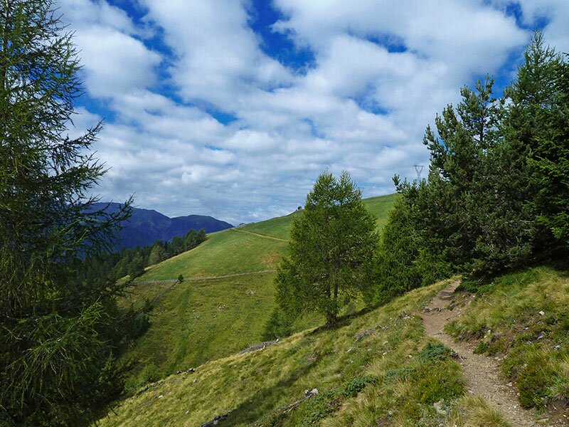

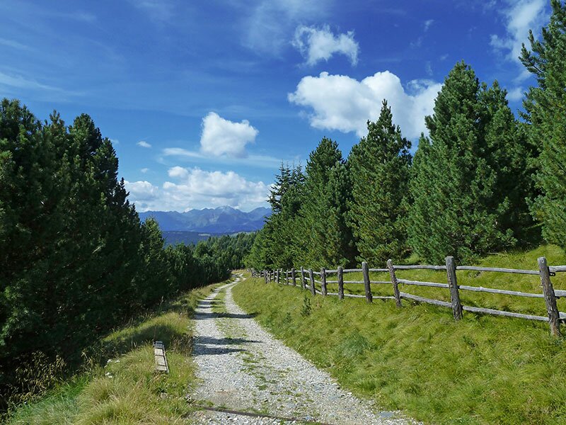
A splendid hike featuring panoramic views and a swan lake awaits us on this August day. The best starting point for this route is located above the hamlet of Valletta, which can be reached from Luson. The Schwaiger Böden car park is situated just before the tree line.
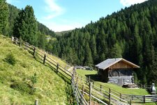
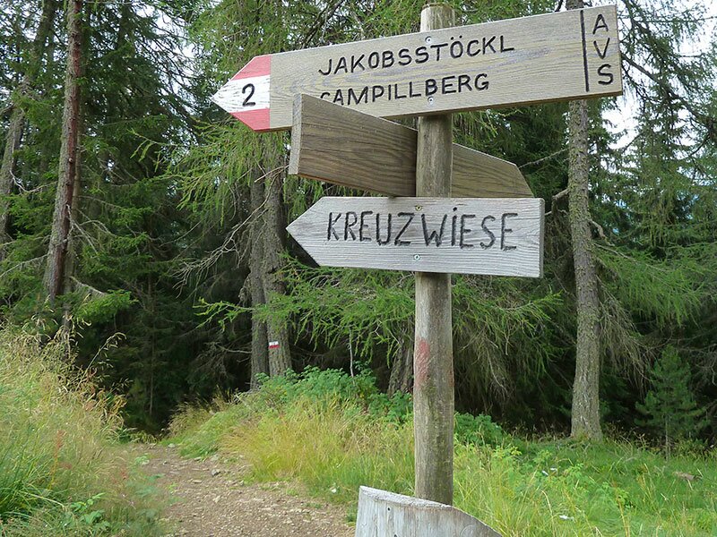
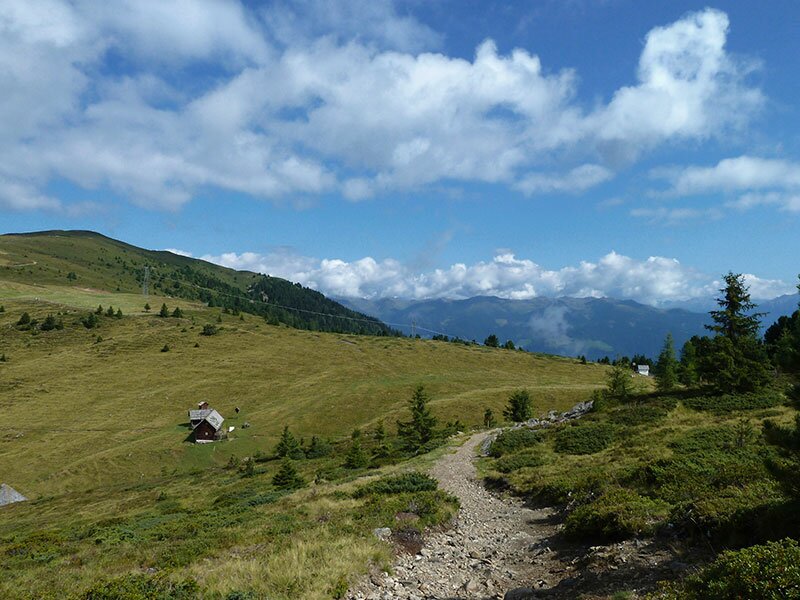
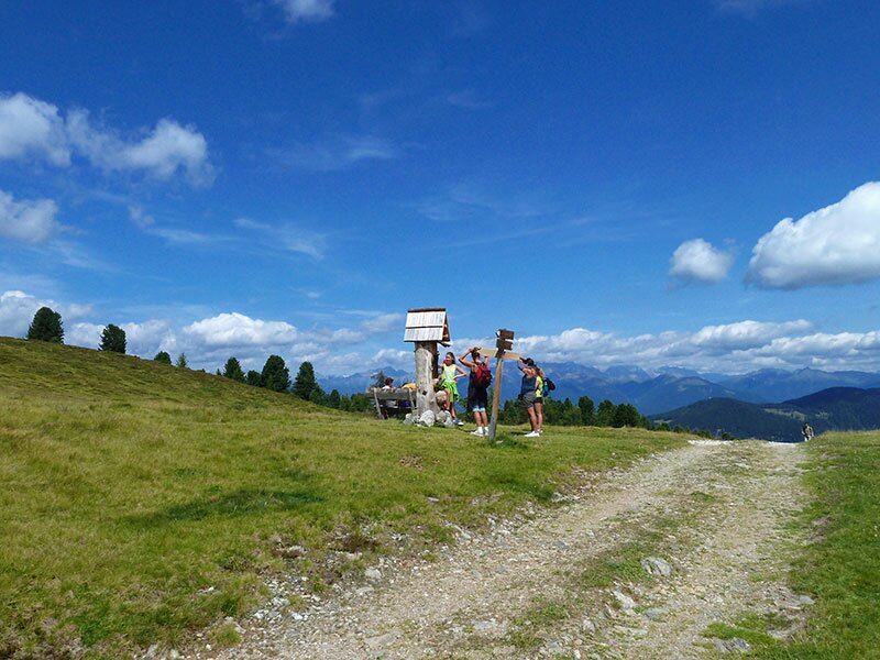
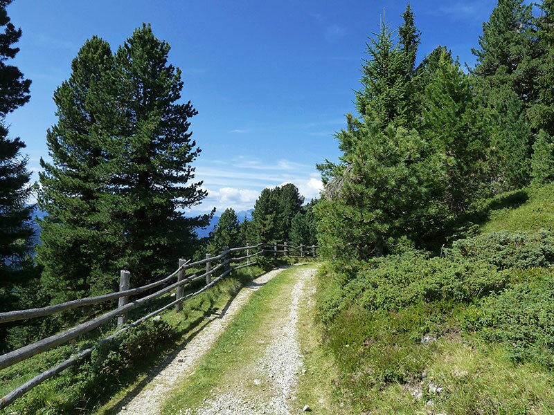
We set off on foot, initially following the signpost for "Jakobsstöckl" (Chapel of St. James). We walk past Alpine huts and across mountain meadows until we reach the small chapel with a view down into the Val Pusteria. The route continues to the Wieser Hut, which was previously managed but is now closed. The subsequent, gently ascending section brings us to Lake Rina, a mountain lake.
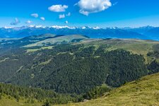
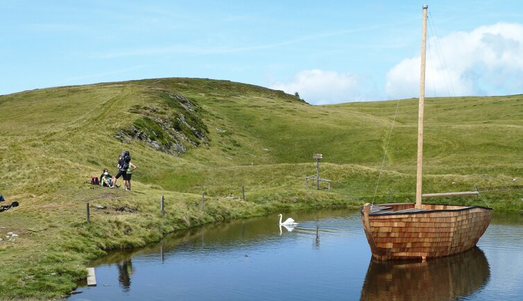
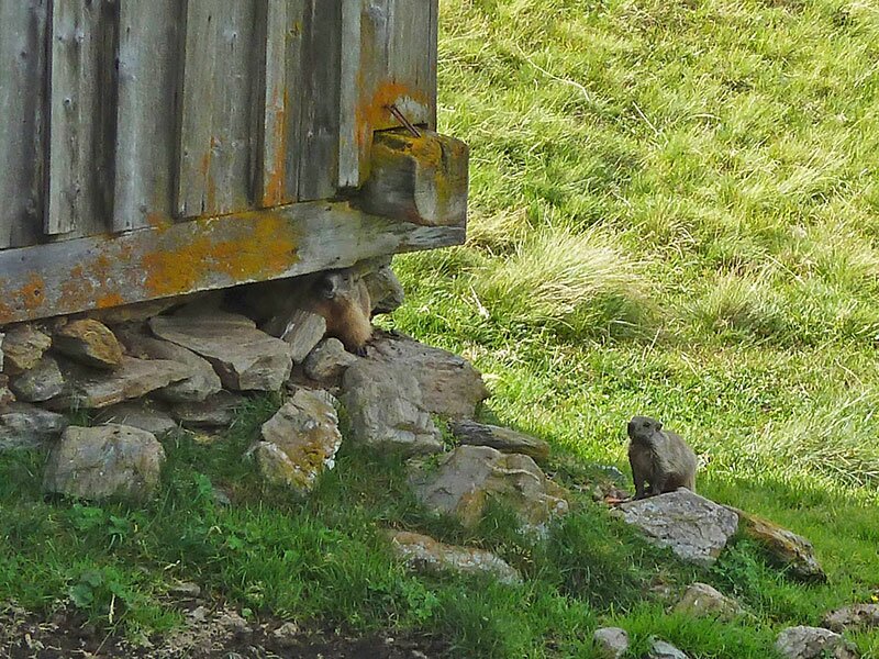
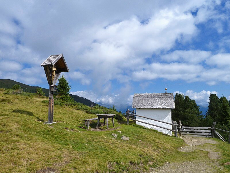
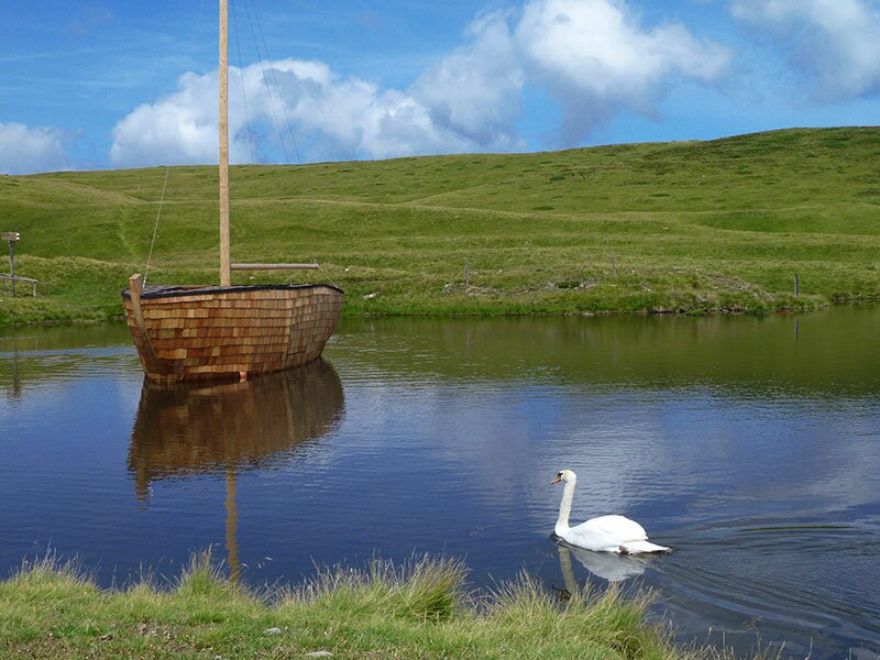
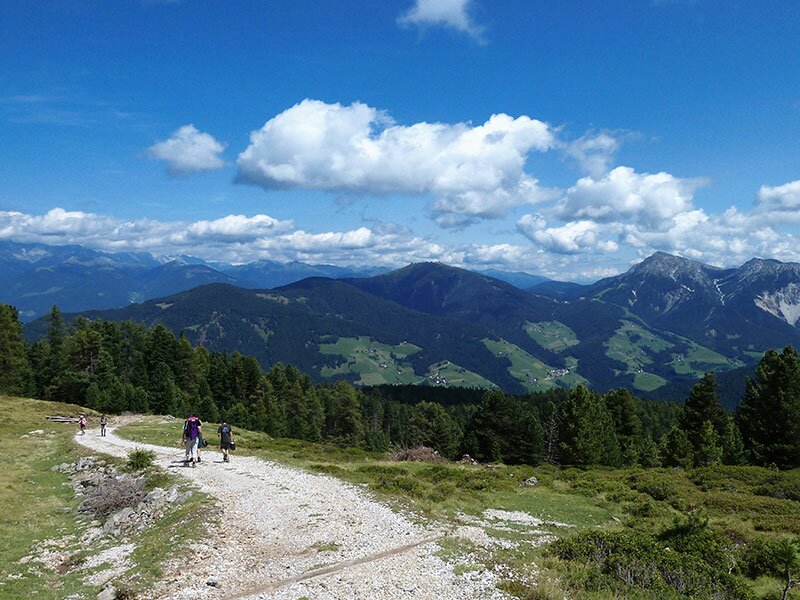
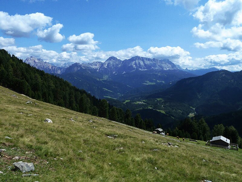
This Lè de Munt da Rina - geographically, we are already in the Ladin-speaking Val Badia here - is surrounded by a series of small pools. Alongside ducks and swans, a wooden ship floats in its dark waters - something no one would likely expect at an altitude of over 2,000 metres. We hike further upwards to the summit cross at the Col da Lé, a 2,192-metre-high viewpoint near the Luson Alp.
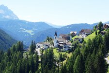
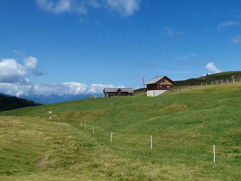
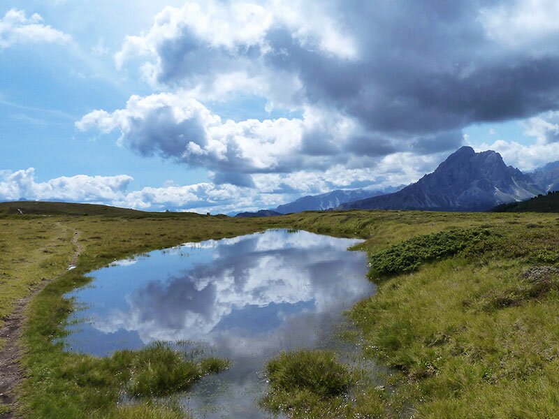
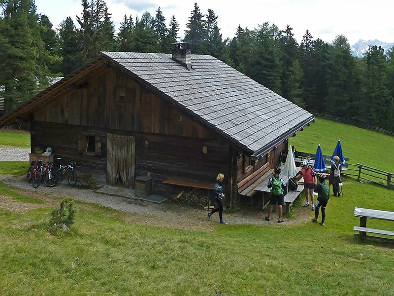
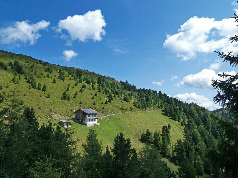
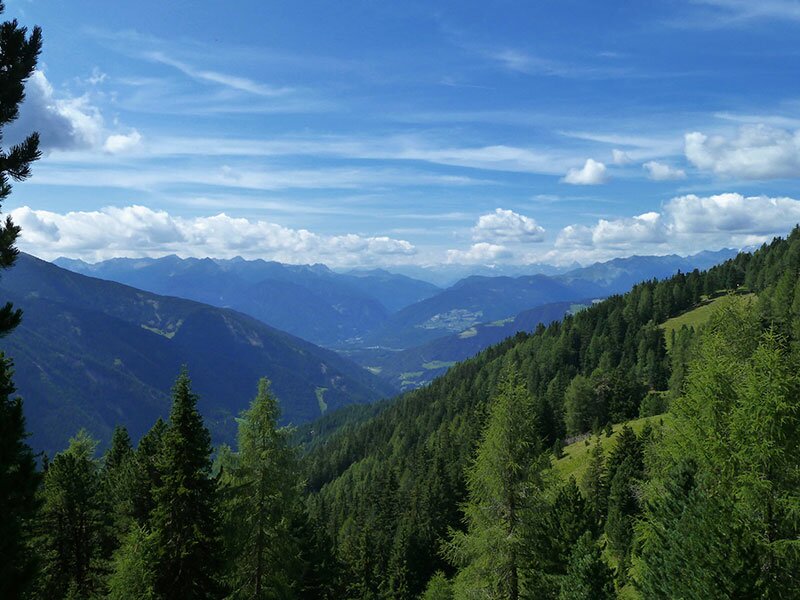
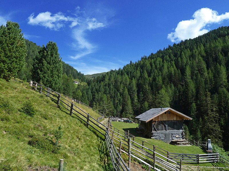
The view of the Fanes Group and the Dolomites on one side and Mt. Sasso Putia on the other forms the backdrop as we descend a short distance to a wide path. Here, we follow the sign for "Munt da Rina", which is the Ladin name for the Rina Hut (Welschellener Alm). It is situated below the tree line, while Rina itself is a small mountain village in the municipality of Marebbe.
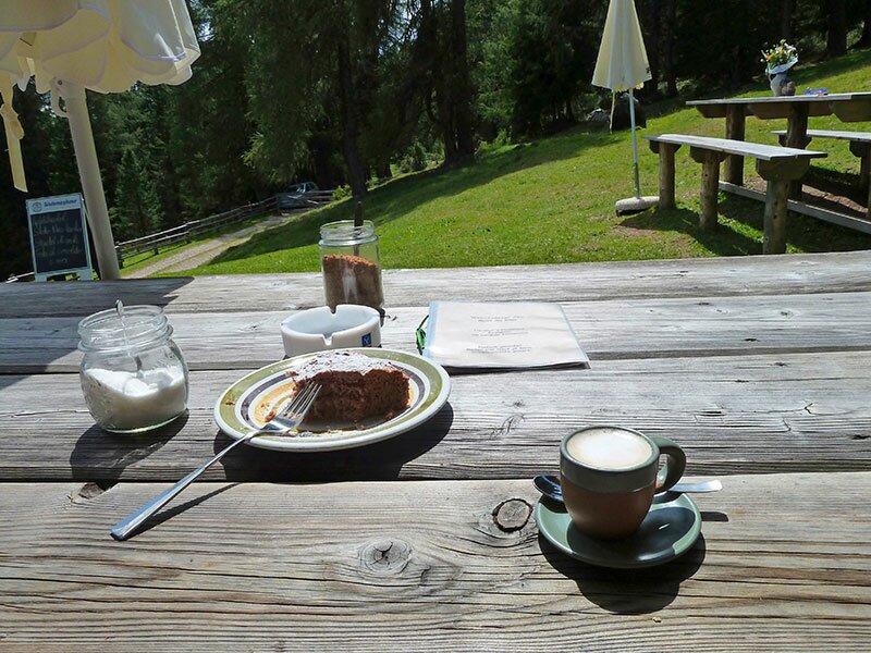
Ladin cuisine, game specialities, and home-produced goods are served here on the small terrace. After a break, we begin our return journey. To complete the hike as a circular route, we now follow the "AS" marker (Anton Schwingshackl Path) and then the signpost for the "Turnaretsch Hütte". Finally, via path no. 10, we reach our starting point again after five and a half hours.
Author: AT
Experienced: August 2013
Last updated: 2026
-
- Starting point:
- Schwaiger Böden car park above the hamlet of Valletta (1,720 m a.s.l.)
-
- Overall time:
- 05:30 h
-
- Total route length:
- 17,6 km
-
- Altitude:
- from 1.644 m to 2.192 m
-
- Altitude difference (uphill | downhill):
- +714 m | -714 m
-
- Route:
- Schwaiger Böden parking space - Wieser Hut - Lake Lè de Rina - Mt. Col da Lè - Munt da Rina Mountain Hut - Anton Schwingshackl Path - Schwaiger Böden parking space
-
- Signposts:
- no. 2, 10, 26, "AS" (Anton Schwingshackl Path), "Turnaretsch Hütte" 10, 2
-
- Destination:
- Munt da Rina Mountain Hut (1,947 m a.s.l.)
-
- Resting points:
- Munt da Rina Mountain Hut (May to November)
-
- Recommended time of year:
- Jan Feb Mar Apr May Jun Jul Aug Sep Oct Nov Dec
-
- Download GPX track:
- Hike to the Munt da Rina Mountain Hut
-
- More information:
- The overall time shown above refers to the walking time only, not including breaks or stops.
If you want to undertake this hike, we recommend checking the weather and trail conditions in advance and on site before starting this hike!