Walking along the rushing Rio Scaleres to the Laghi Gelati lakes at the foot of the Kühberg mountain
Image gallery: Hike to the Gelati Lakes in the Valle di Scaleres
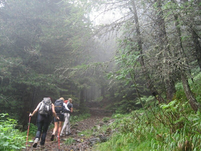
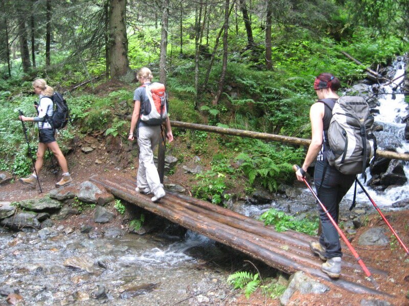
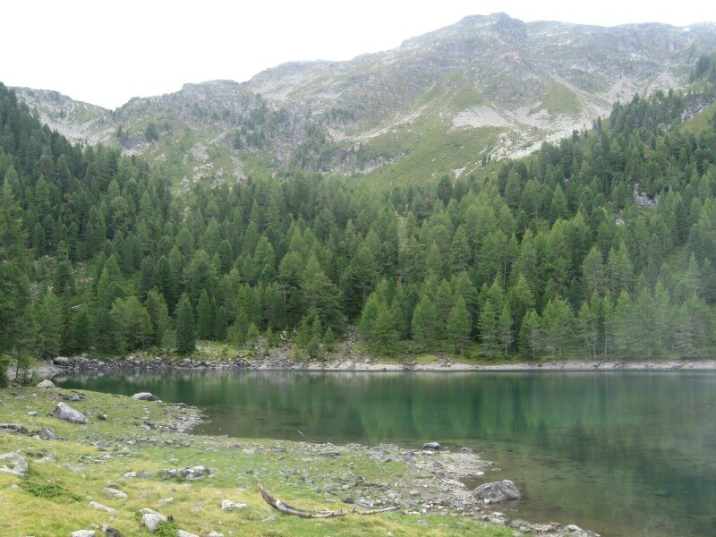
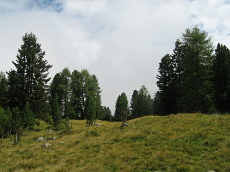
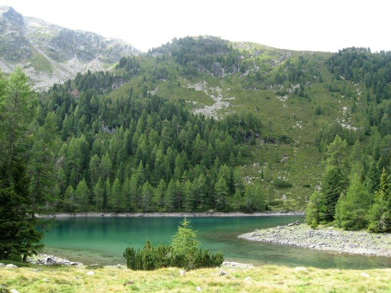
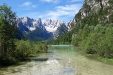
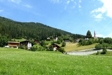
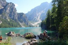
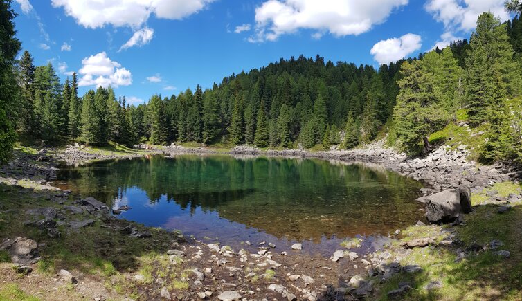
The Laghi Gelati lakes (Schrüttenseen) are located in the rear Valle di Scaleres. In the background of these lakes, there are lushly green meadows and the Kühberg mountain. In order to reach the starting pint, we need to overcome some km on a narrow mountain road by car, from Scaleres we proceed towards the head of this valley, until we reach the hikers' parking space. This is where we start on foot, following the signpost "Laghi Gelati/Schrüttenseen", along the Rio Scalers river.
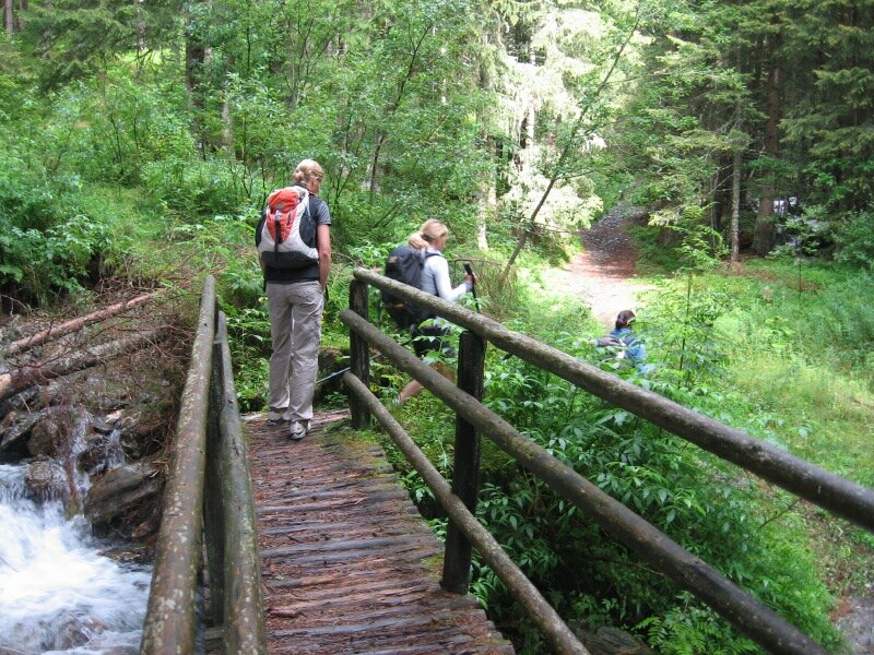
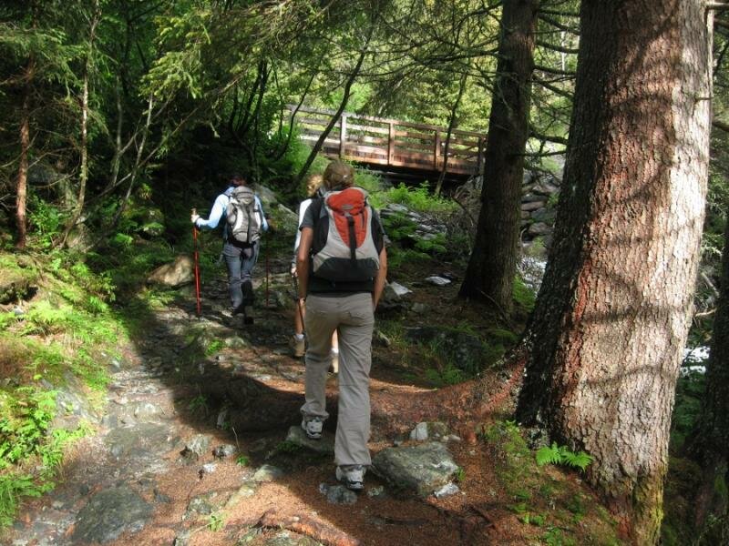
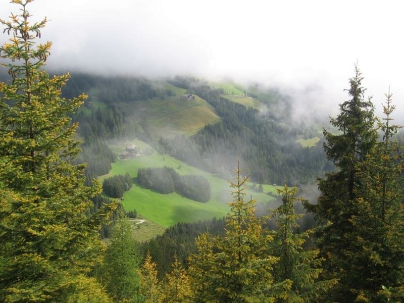
We follow the course of the rushing mountain river that refreshes the air and diverts our attention from the path. The fog makes the forest a rather mystical place. We traverse the Rio Scaleres on a little bridge and proceed on the trail, following the signposts. The path is rather steep and also slippery due to the heavy rainfall of the last days. Along the path there are even some treats for our palate - wild strawberries and blackberries sweeten our walk. We reach a little meadow, ideal for a break, then we continue through the less dense forest. The path gets steeper.
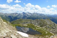
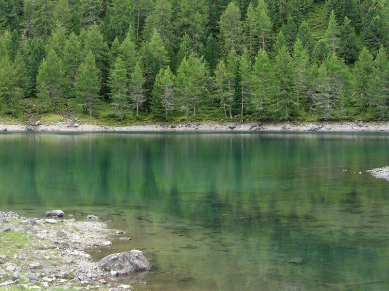
After about 20 more minutes we reach the large one of the lakes (1,970 m a.s.l.). The smaller one is only a three-minutes' walk away. The fog clears and makes us admire the green mountain lakes. The lakeside is ideal for a picnic. After lunch we decide to start our walk back, along the same route. Nice walk for hot days, as the Rio Scaleres provides refreshment in the forest. The trail is rather shady but steep. The path is not really difficult, but challenging for the legs - in alternative, you may follow in the first section the larger cart path which leads to the path no. 13.
Author: BS
-
- Starting point:
- hikers' parking space Scalers (close to the Steinwendthof farm)
-
- Overall time:
- 03:00 h
-
- Total route length:
- 7,1 km
-
- Altitude:
- from 1.391 m to 1.962 m
-
- Altitude difference (uphill | downhill):
- +571 m | -571 m
-
- Signposts:
- no. 13
-
- Destination:
- Laghi Gelati lakes
-
- Recommended time of year:
- Jan Feb Mar Apr May Jun Jul Aug Sep Oct Nov Dec
-
- Download GPX track:
- Hike to the Gelati Lakes in the Valle di Scaleres