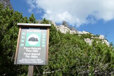
Mountain tour over two well-known Dolomite passes in the heart of the Puez-Odle Nature Park
Image gallery: Hike across the Forcella della Roa and Forcella di Mesdì
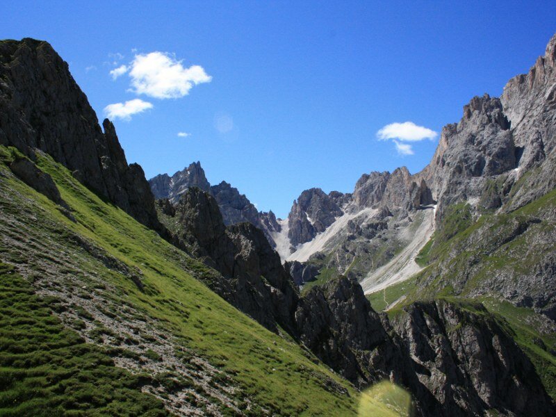
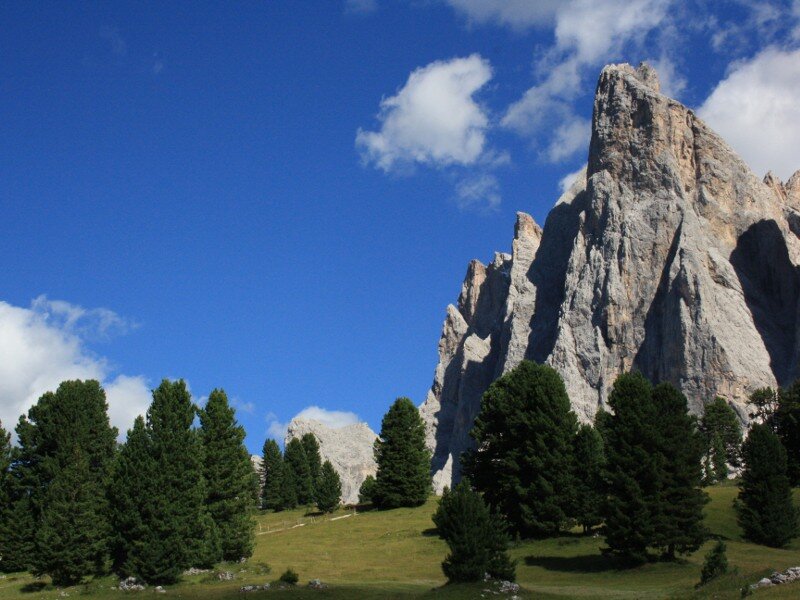
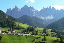
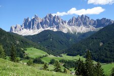
Our hike for hikers with good stamina begins at the Malga Zannes hikers' car park at the end of the valley. The road leading there branches off to the left after Santa Maddalena di Funes. We follow path no. 33 until the first junction, where we turn right towards the Glatsch Hut. There, at 1,900 metres above sea level, the forest clears, and the mighty Odle Group dominates the landscape.
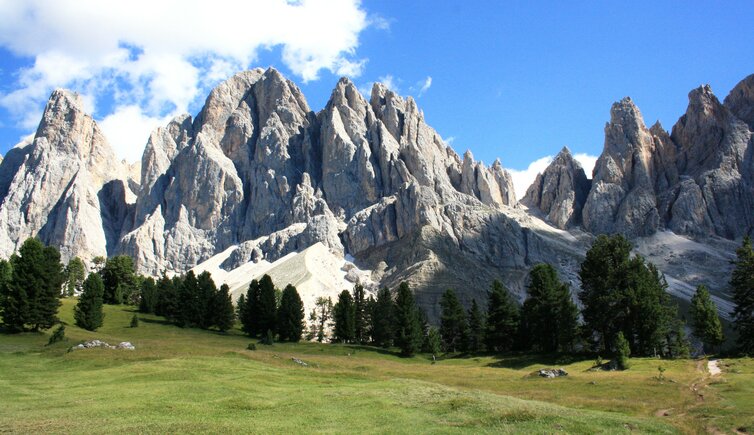
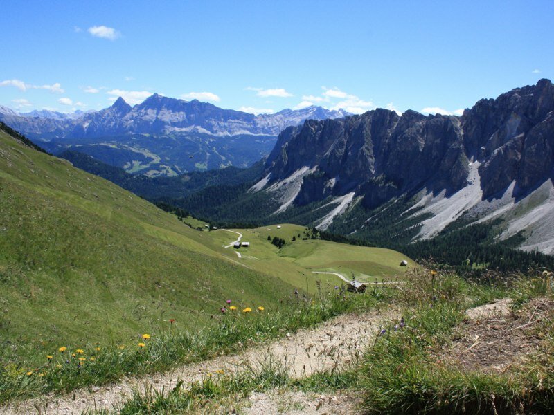
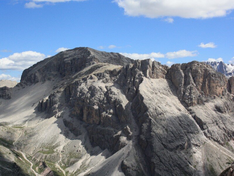
To the left, the Adolf Munkel Trail now leads along the foot of the Odle. Via the Ciancenon Hut, the path brings us to the Passo Poma at 2,293 metres. The view towards the Val Badia, the Munt de Vila alpine pastures, and the Sasso della Croce Group is magnificent. On path no. 3 and later on the Dolomites High Route no. 2, we continue towards the imposing figure of the Piz Duleda.
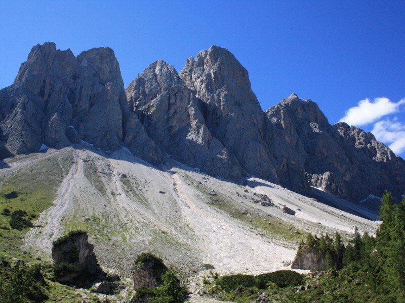
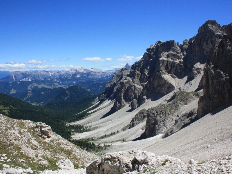
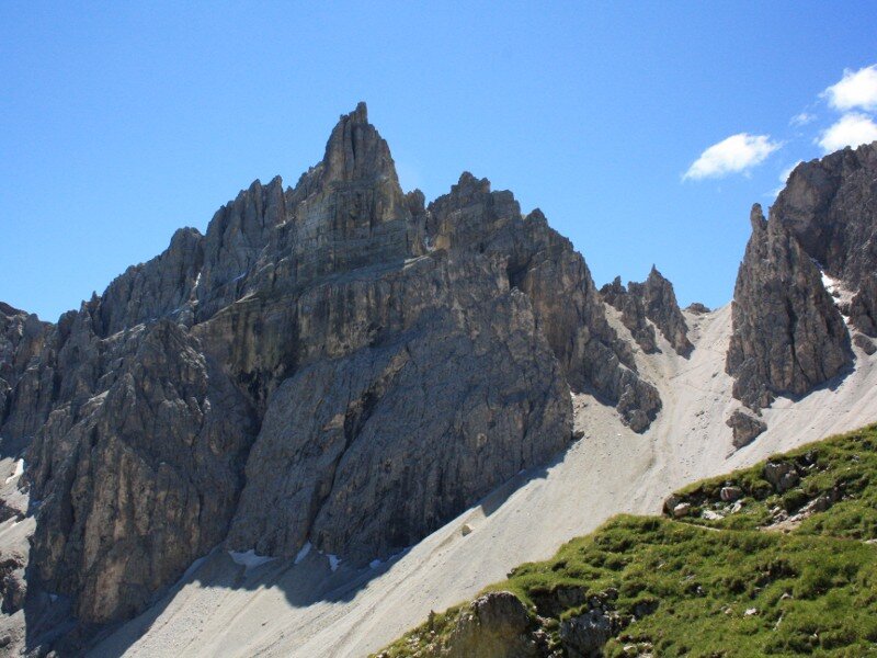
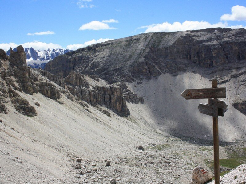
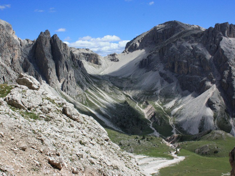
We tackle the climb to the 2,617-metre-high Forcella della Roa, the right shoulder of the Piz Duleda, via a series of zigzags. At this point, the via ferrata to the Piz Duleda branches off. We, however, take the path through the Roa Valley, following the sign for the Rifugio Firenze. The Odle show their reverse side here - in the middle sits the 2,597-metre-high Forcella di Mesdì.
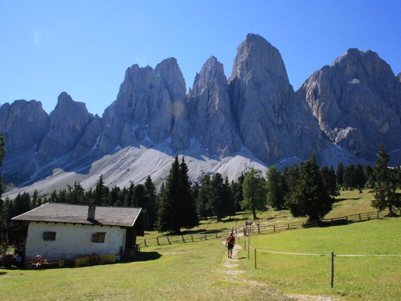
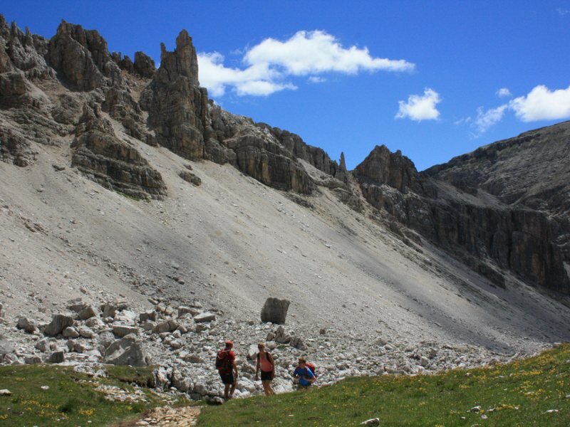
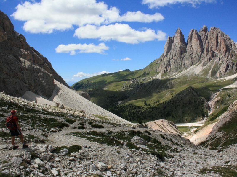
The relatively narrow and steep path no. 2B brings us to the pass. The rugged peaks of the Sass Rigais, also part of the Odle Group, line the route. Sure-footedness is essential here! We now descend steadily and often steeply via zigzag paths across the scree slope at the foot of the Odle until we turn right at a junction towards the Casnago Hut and the Odle Hut (Geisler Alm).
At the Odle Hut, we drop below the 2,000-metre mark and follow the path towards Zannes. It leads us past the Jägerhaus lodge to the car park, which we reach again after eight hours. We return tired but filled with vivid impressions from this tour in the Puez-Odle Nature Park.
Author: BS
Experienced: July 2010
Last updated: 2026
-
- Starting point:
- hikers' car park at the Malga Zannes in Funes (1,676 m a.s.l.)
-
- Overall time:
- 08:00 h
-
- Total route length:
- 20,5 km
-
- Altitude:
- from 1.676 m to 2.617 m
-
- Altitude difference (uphill | downhill):
- +1664 m | -1664 m
-
- Signposts:
- no. 33, "Adolf-Munkel-Weg", 3, "Dolomiten-Höhenweg no. 2", 2b, 34, 33
-
- Destination:
- Forcella della Roa (2,617 m a.s.l.) and Forcella di Mesdì (2,597 m a.s.l.)
-
- Resting points:
- Glatsch Hut (May to October), Odle Hut (May to November)
-
- Recommended time of year:
- Jan Feb Mar Apr May Jun Jul Aug Sep Oct Nov Dec
-
- Download GPX track:
- Hike across the Forcella della Roa and Forcella di Mesdì
-
- More information:
- The overall time shown above refers to the walking time only, not including breaks or stops. The terrain is consistently good, but the ascents and descents across the Dolomite ridges require sure-footedness. A good level of fitness is required. The route can also be completed in an anti-clockwise direction - an early start is necessary due to the eight-hour walking time.
We highly recommend checking the weather and trail conditions in advance and on site before starting this tour.